Alta Mountain
August 19 2006 |
random trip report |
We get up bright and early, load Avery (Dave's dog) into the car, and are on the road at 7:00, stopping at the Starbucks on Mercer Island (the world's most lavish) where I maintain my policy of refusing to say 'Venti'.
We go about 10 miles past Snoqualmie Pass
and turn off onto a side road that leads,
after 9 bumpy miles, to the trailhead.
We're hiking at 8:30.
It's a beautiful, completely sunny day,
initially in the 60s but warming to the 80s.
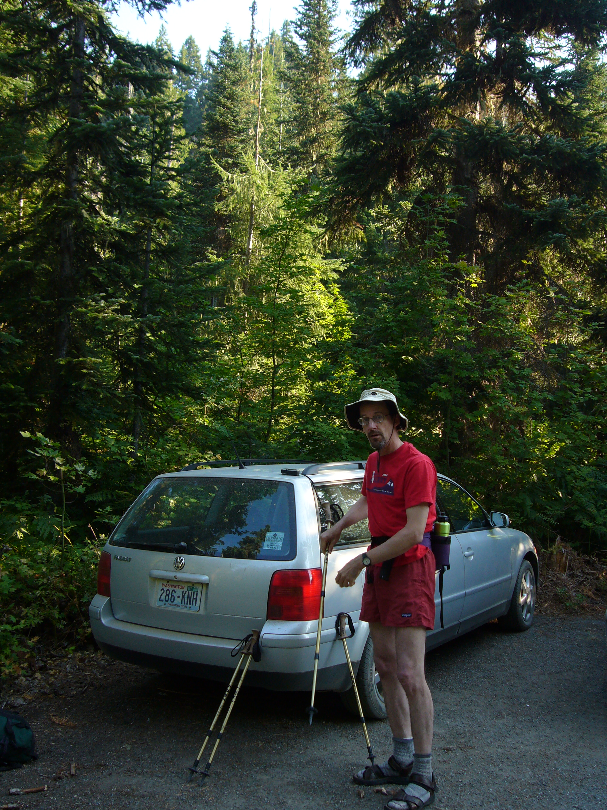
Sandals are because of big-toe arthritis problem
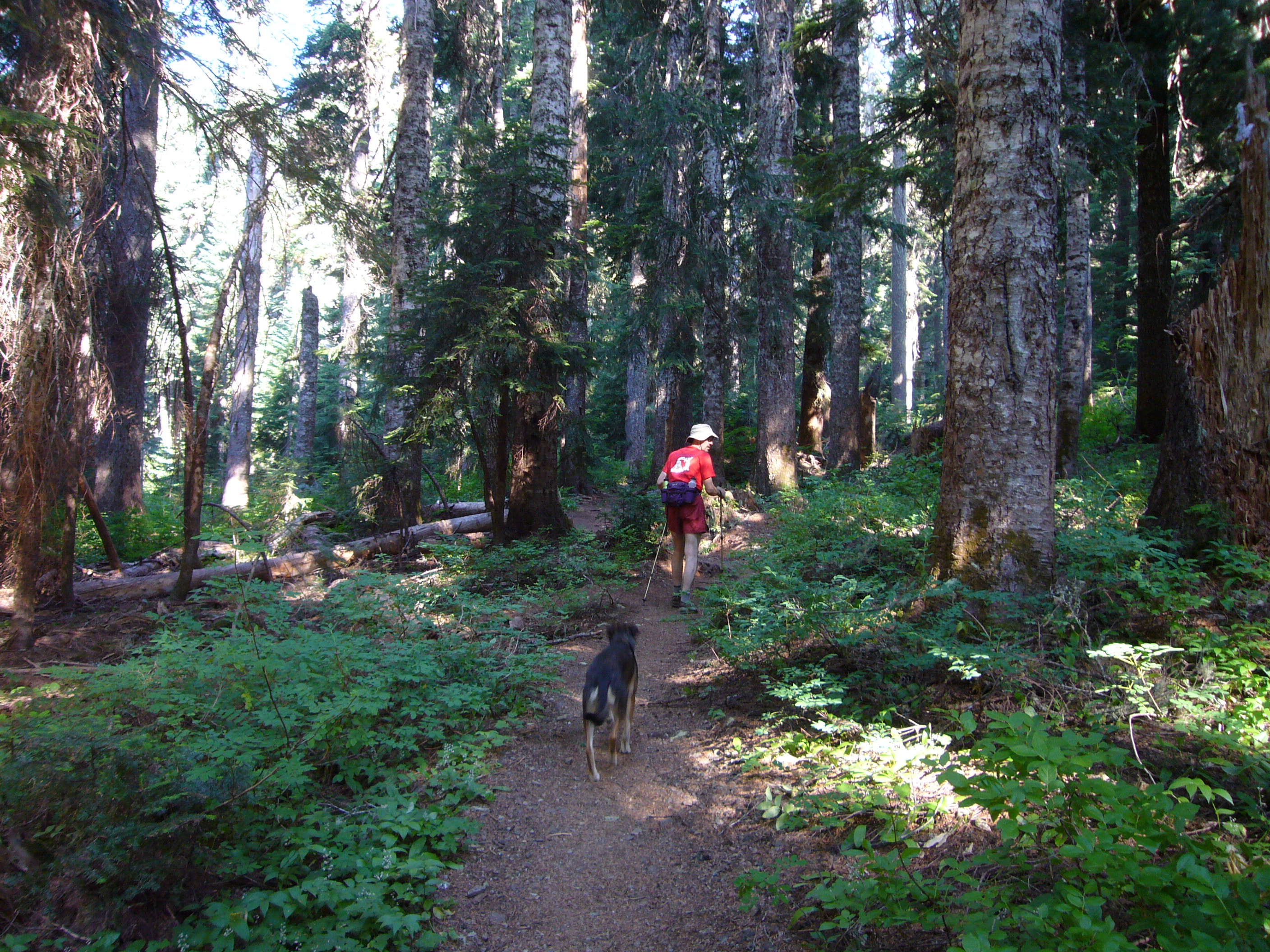
The first 4 miles lead up a nice valley,
pine-forested with occasional clearings.
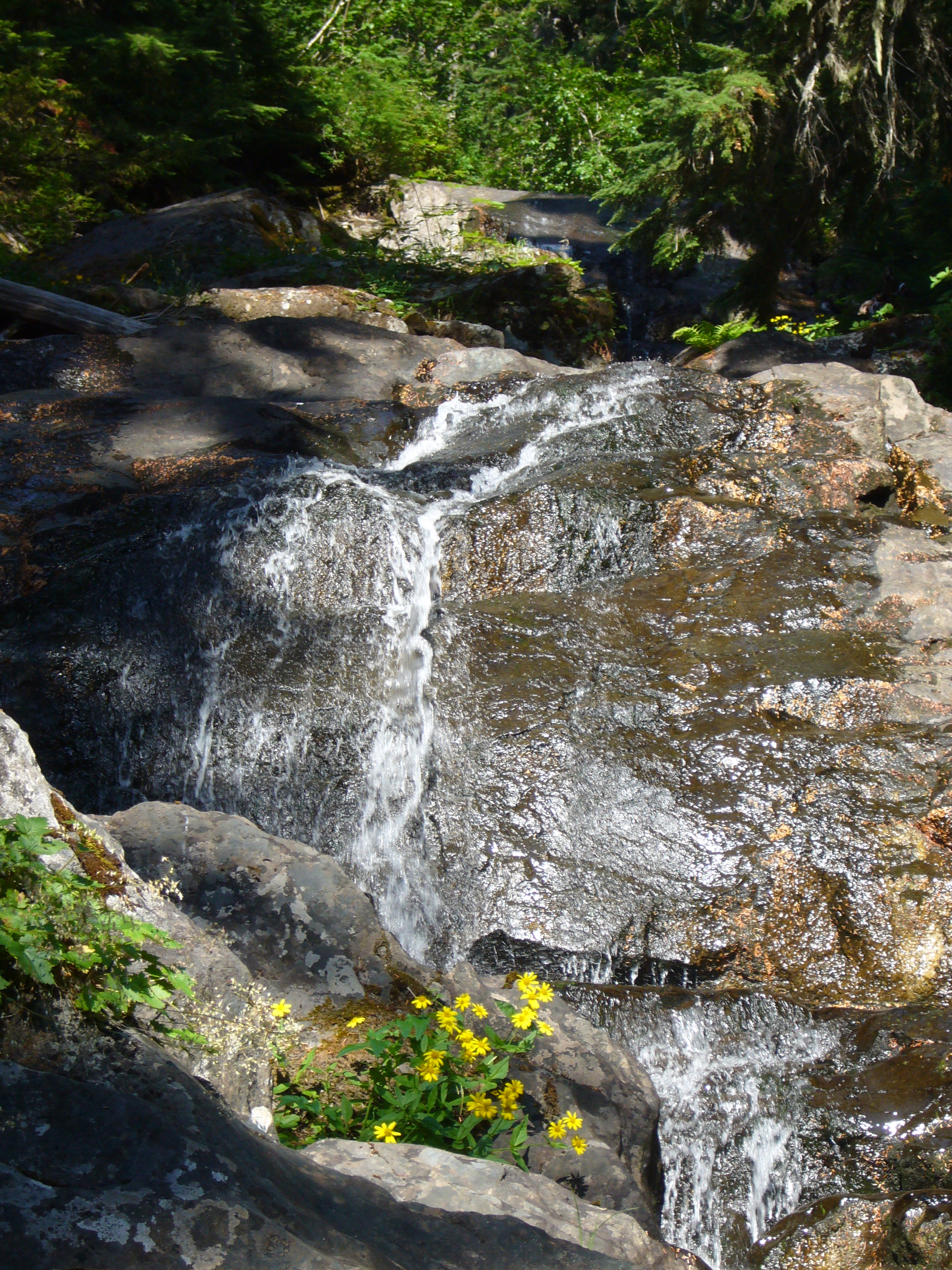
A small stream flows down,
its heavily sculpted bed suggesting wild spring torrents.
The path becomes entangled by tree roots.
We make a number of minor wrong turns.
We pass a family whose two teenage girls,
seated by the trail, radiate displeasure and sulkitude.
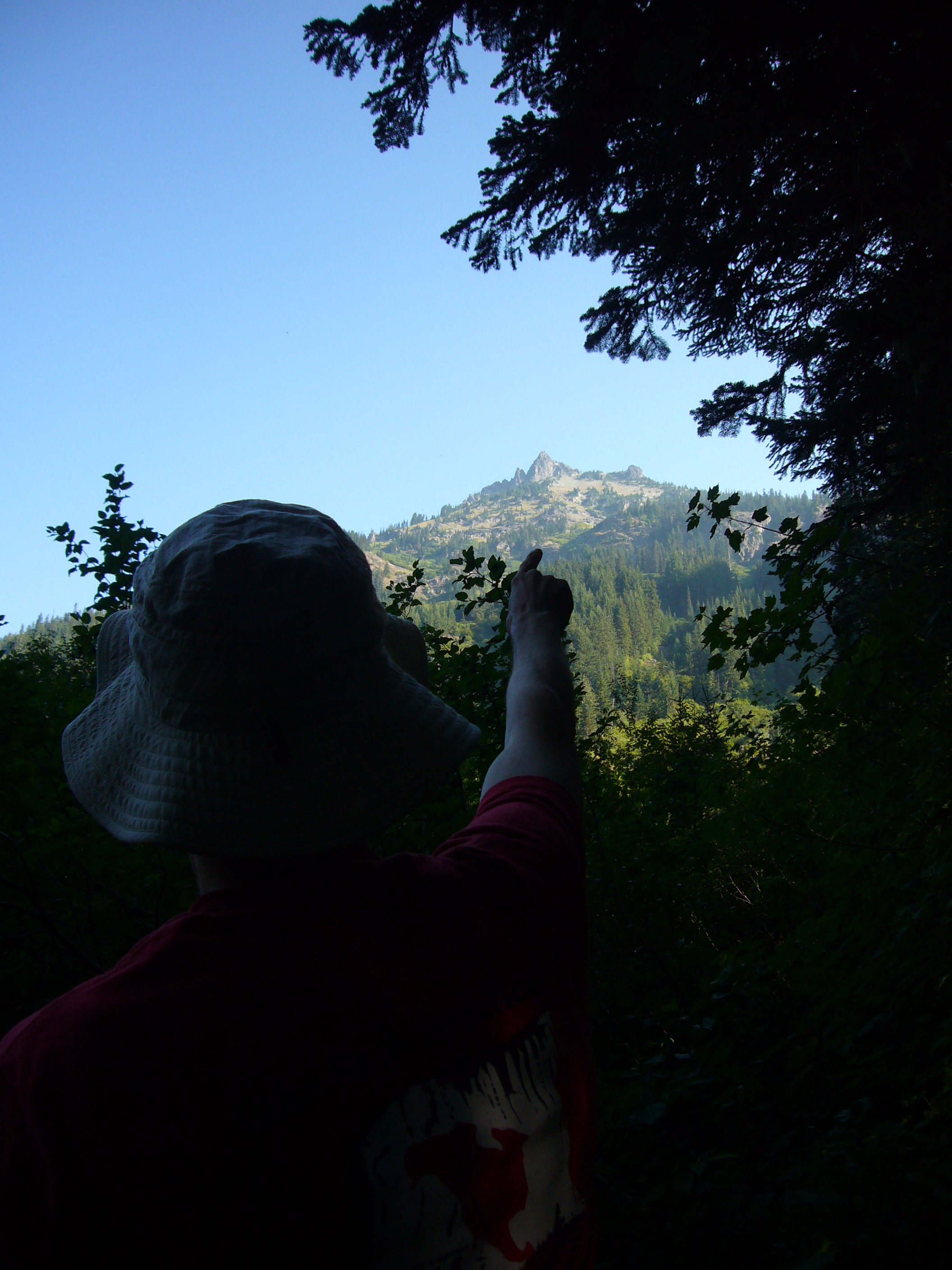
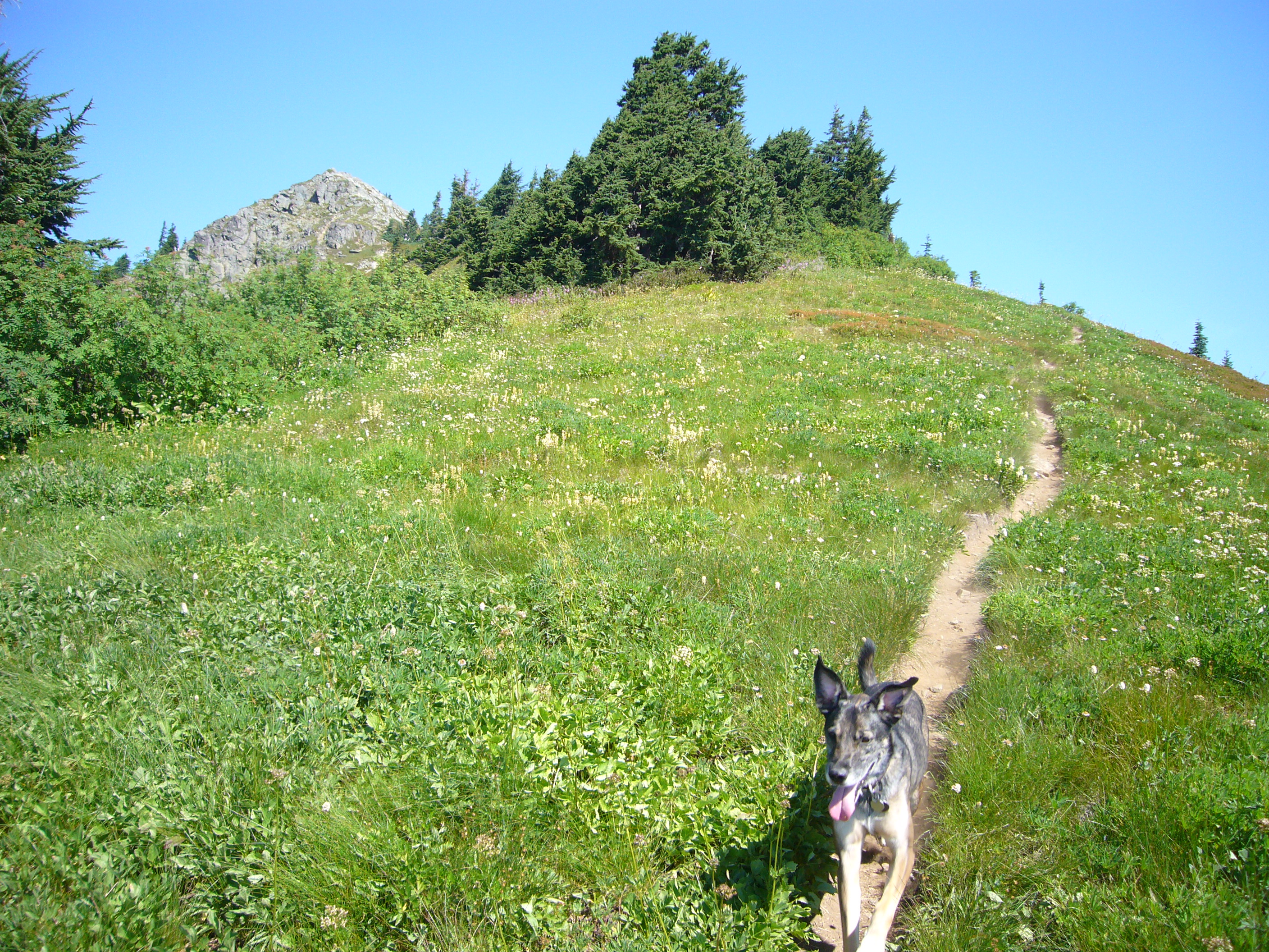
We see a lofty and imposing summit to the right,
and assume (mistakenly) that it's Alta Mountain.
Actually it's Hibox Mountain.
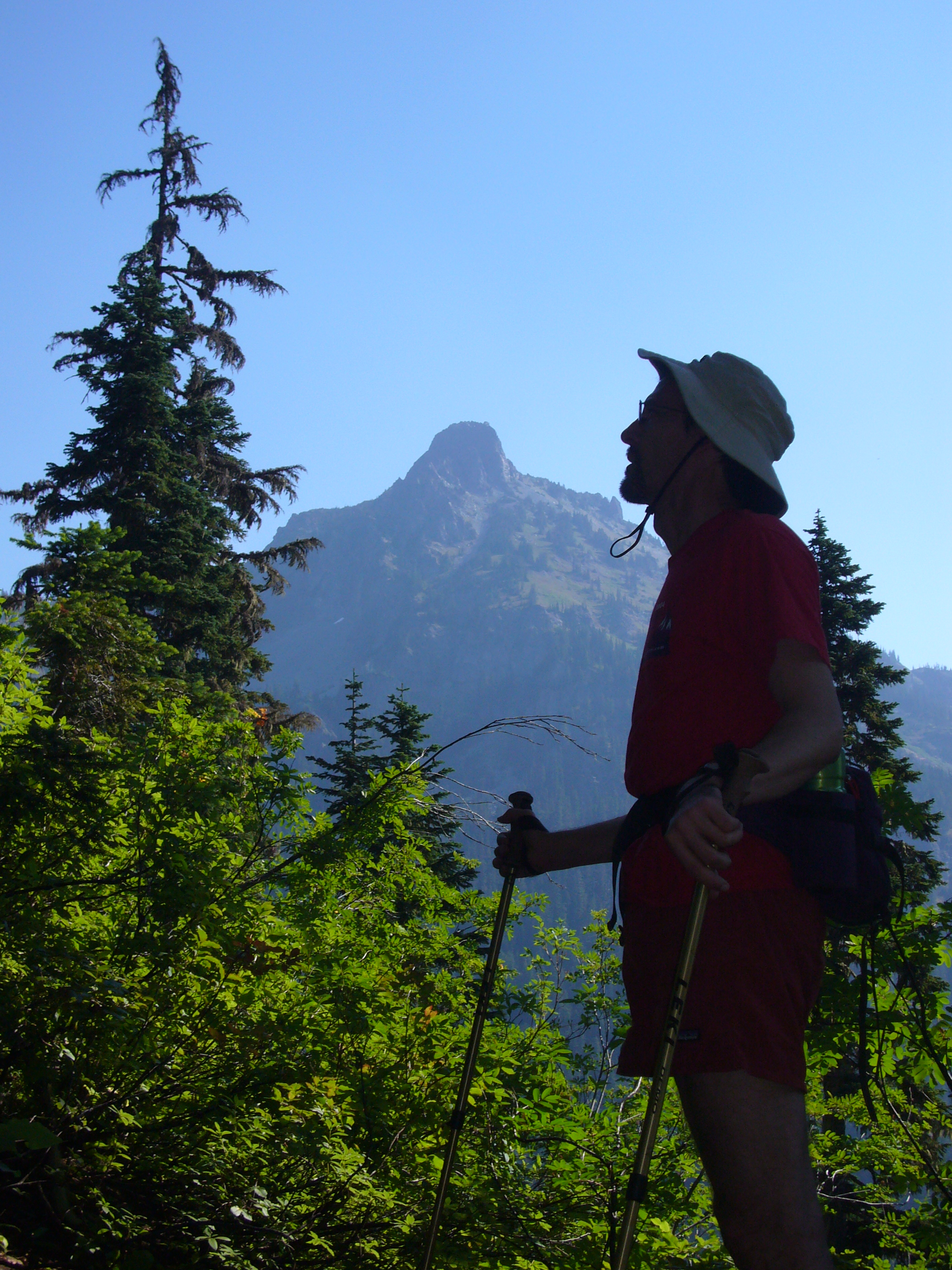
The trail steepens considerably as it leads up
the headwall of the valley, possibly a moraine.
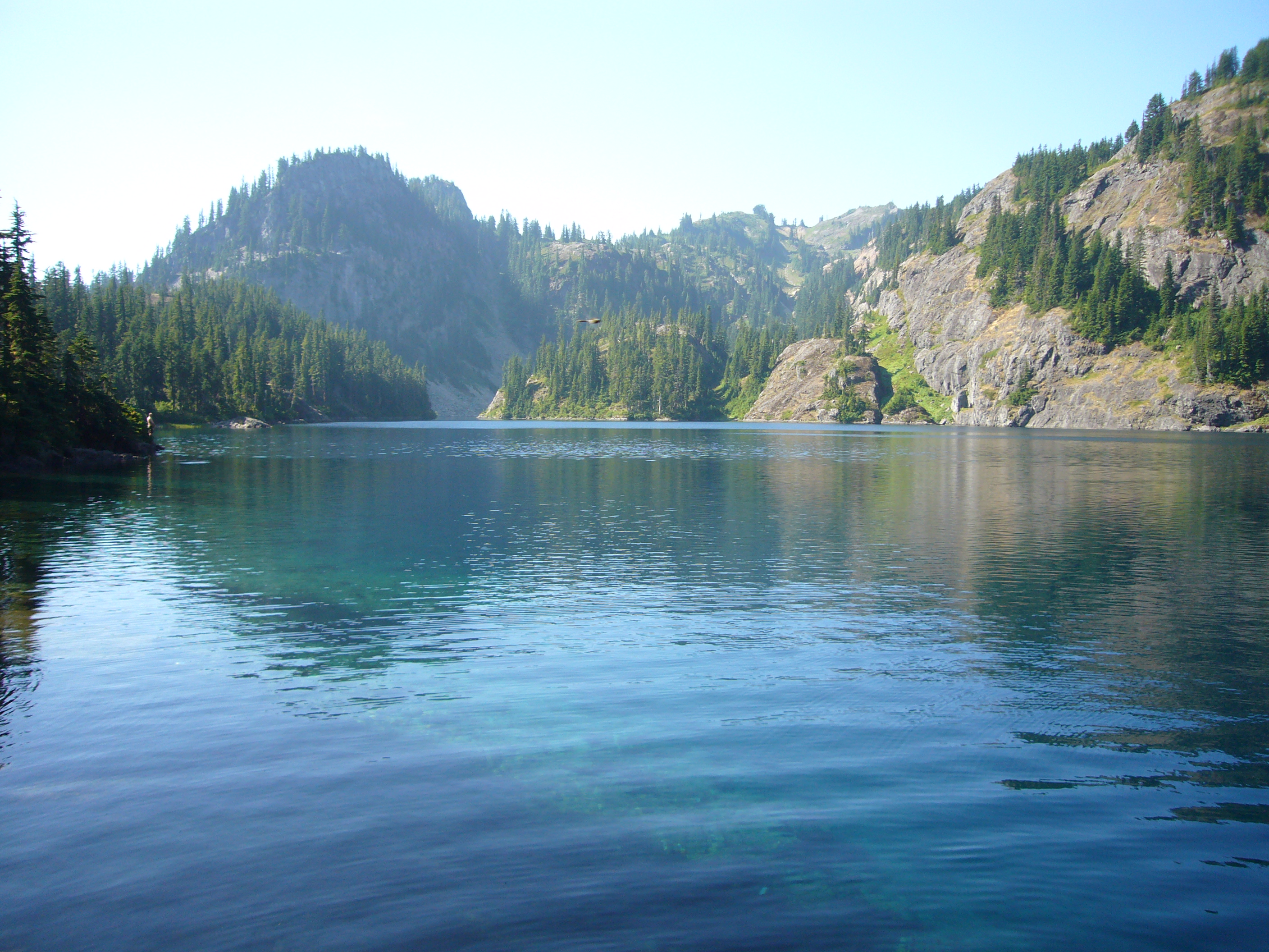
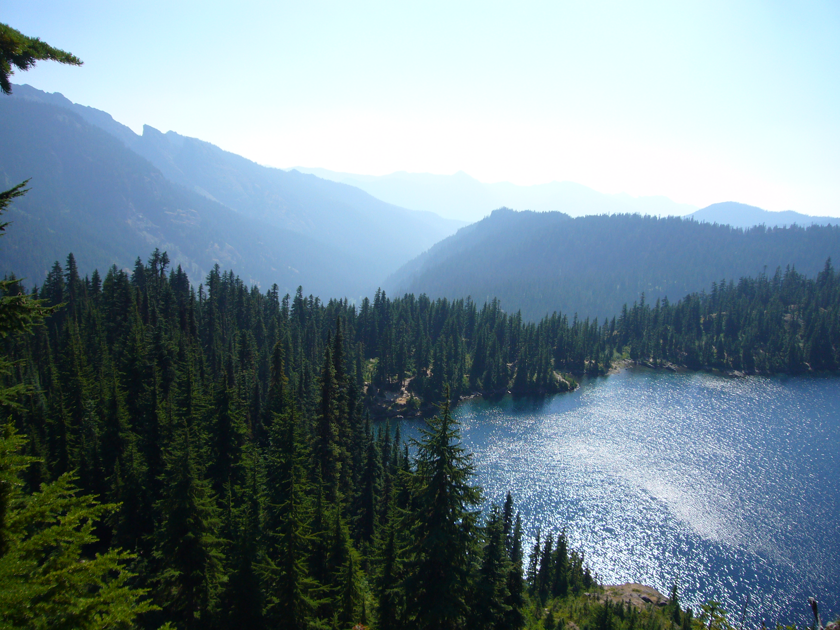
Immediately above this lies Rachel Lake,
fairly large (maybe a half mile on its long axis).
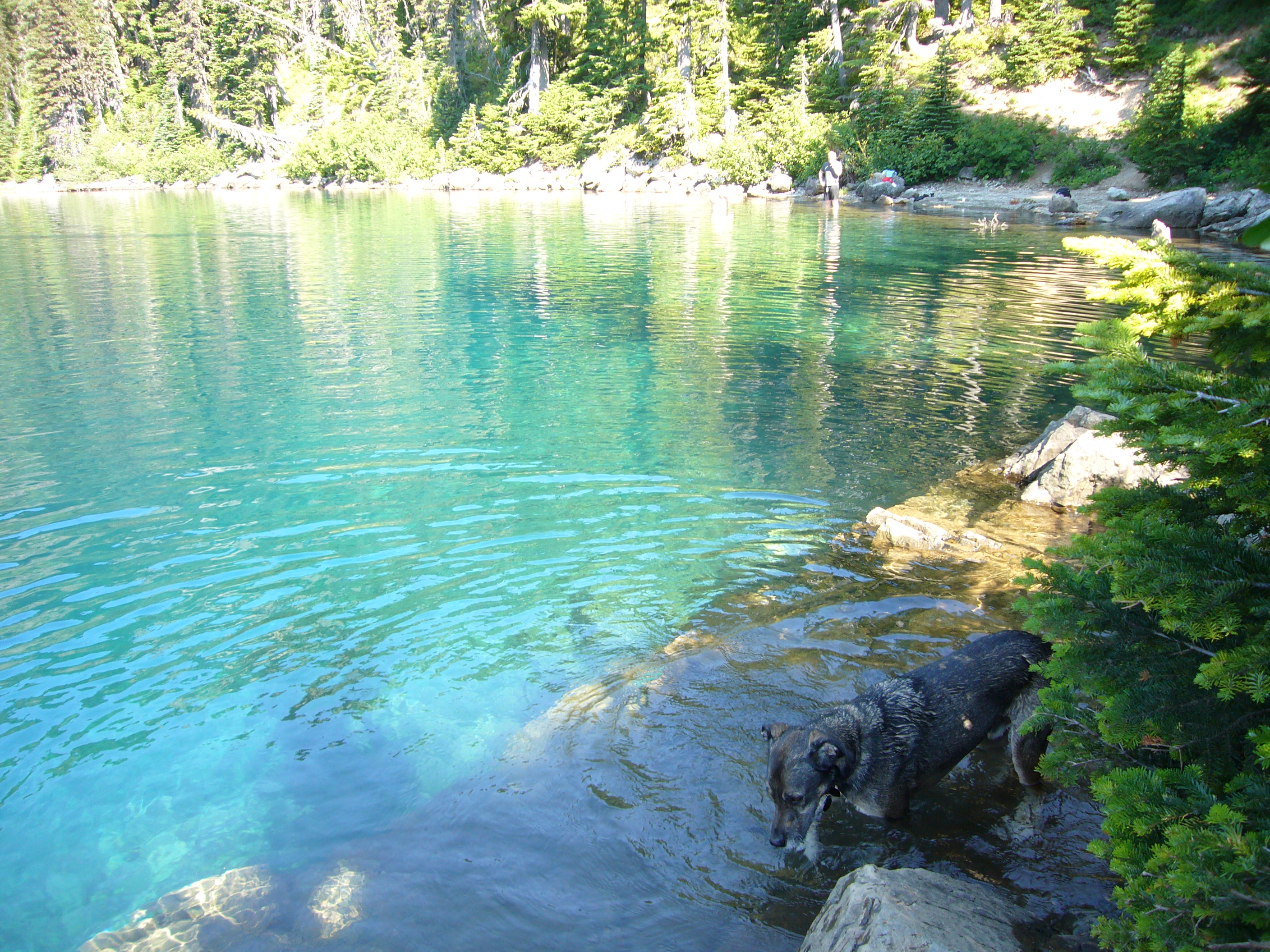
It's exceptionally clear,
and has a lovely greenish turquoise hue near the shore.
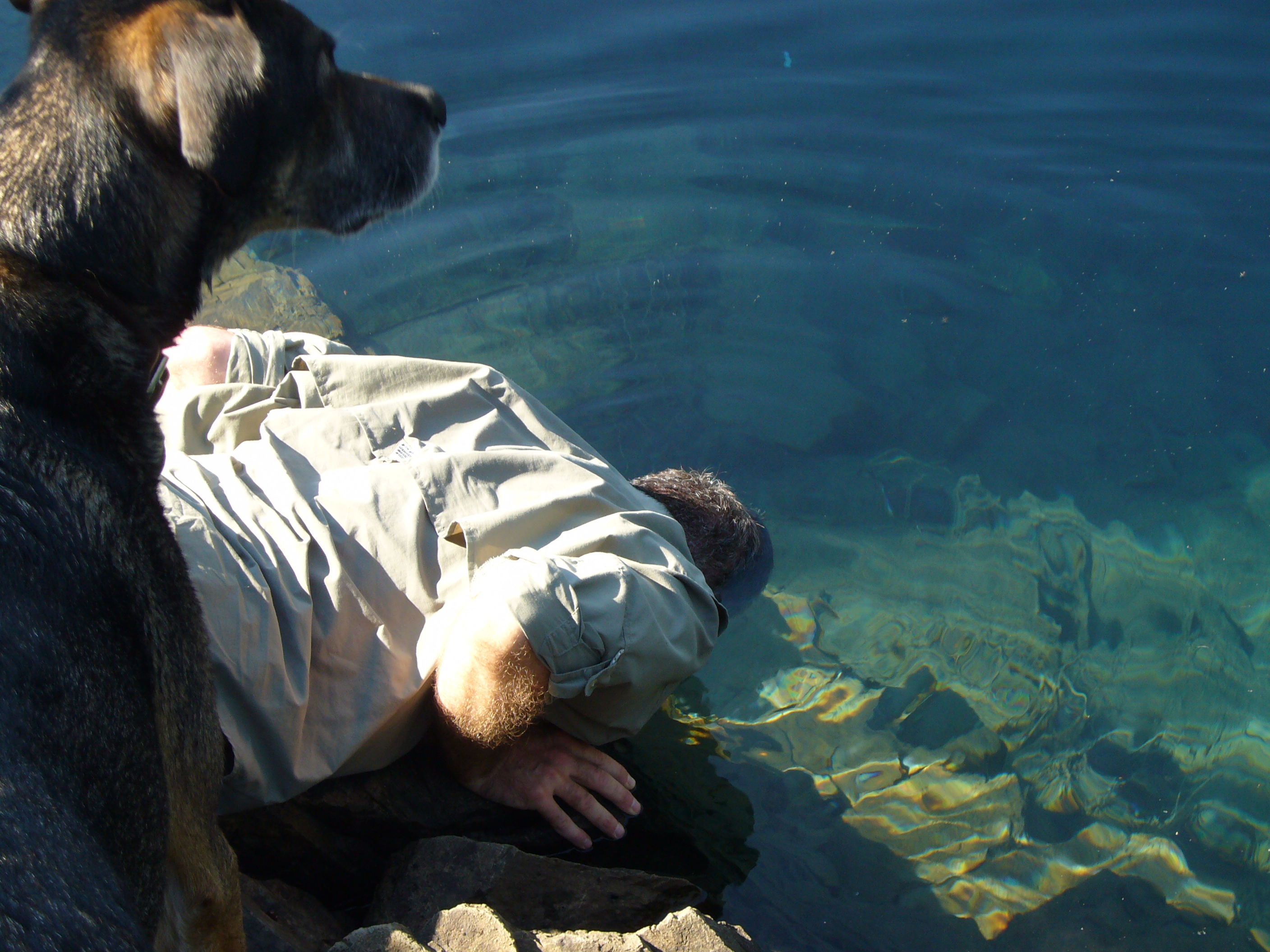
We dunk our heads in the water.
Some chunky frat-boy types cavort in the water nearby.
They give us some helpful navigational beta as we head uphill.
We gain a ridge at the north end of the lake
and head up the fairly steep slope.
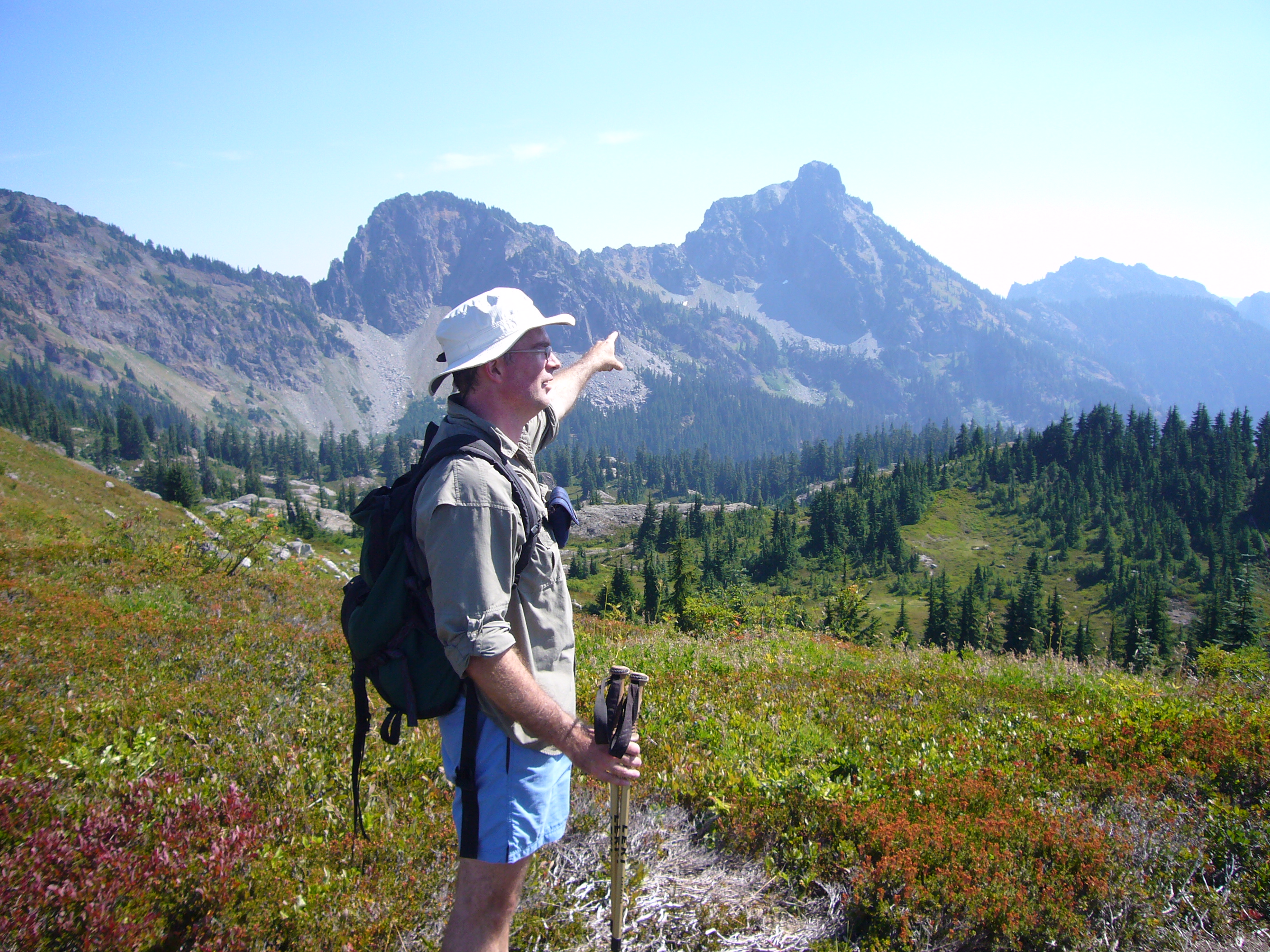
By this time we've figured out which peak is which
After a while we come to a T junction.
Gaylord's map indicates that there's a confusing decision
at this point, and gives the lat/long coords to 3 figures,
which we verify on Dave's GPS.
However, it doesn't say what the correct action is.
We head to the right, towards Lila Lake.
The trail threatens to descend,
so we strike out cross-country and soon find a boot track.
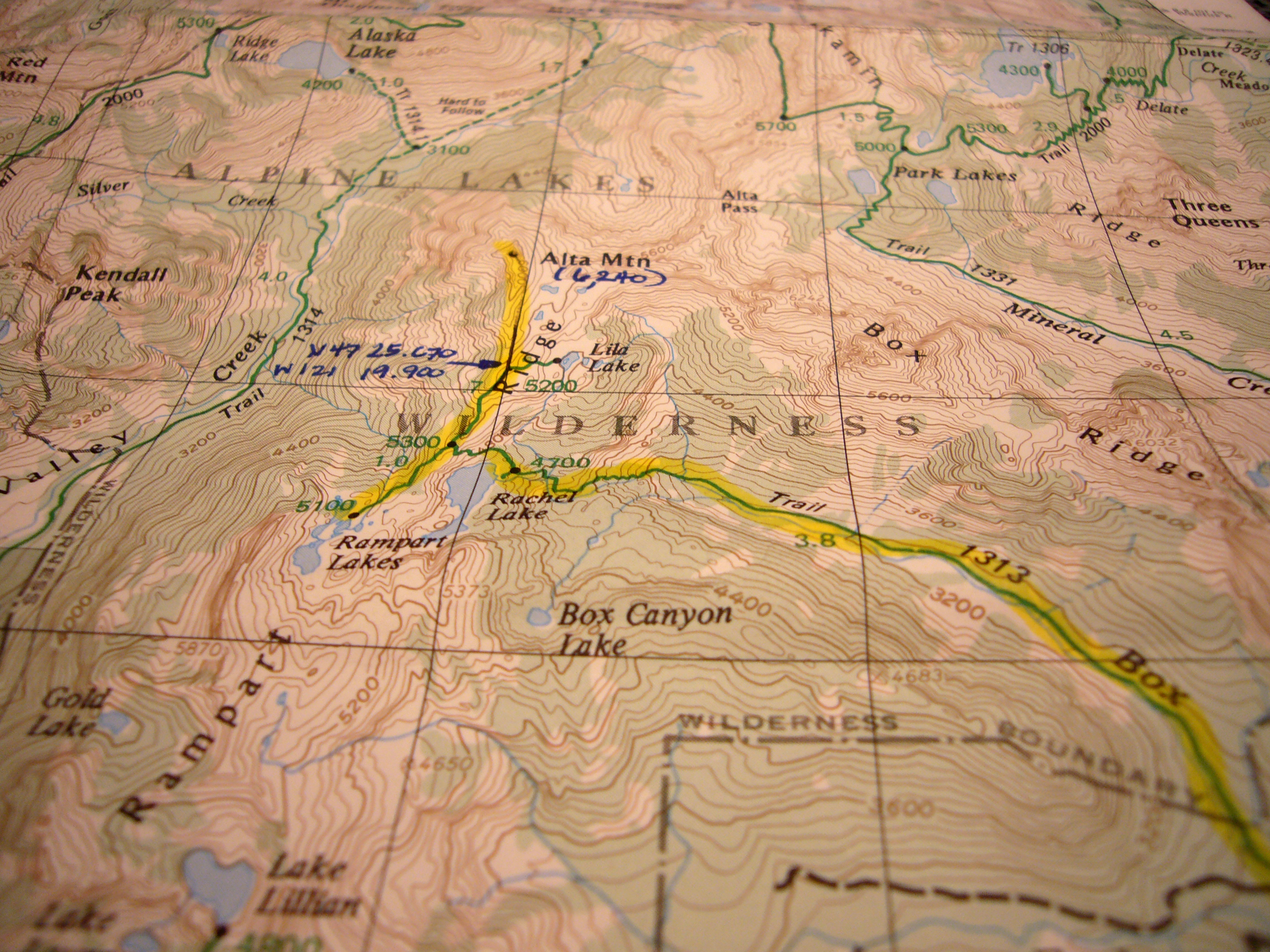
The T junction referred to above is pointed to by the arrow
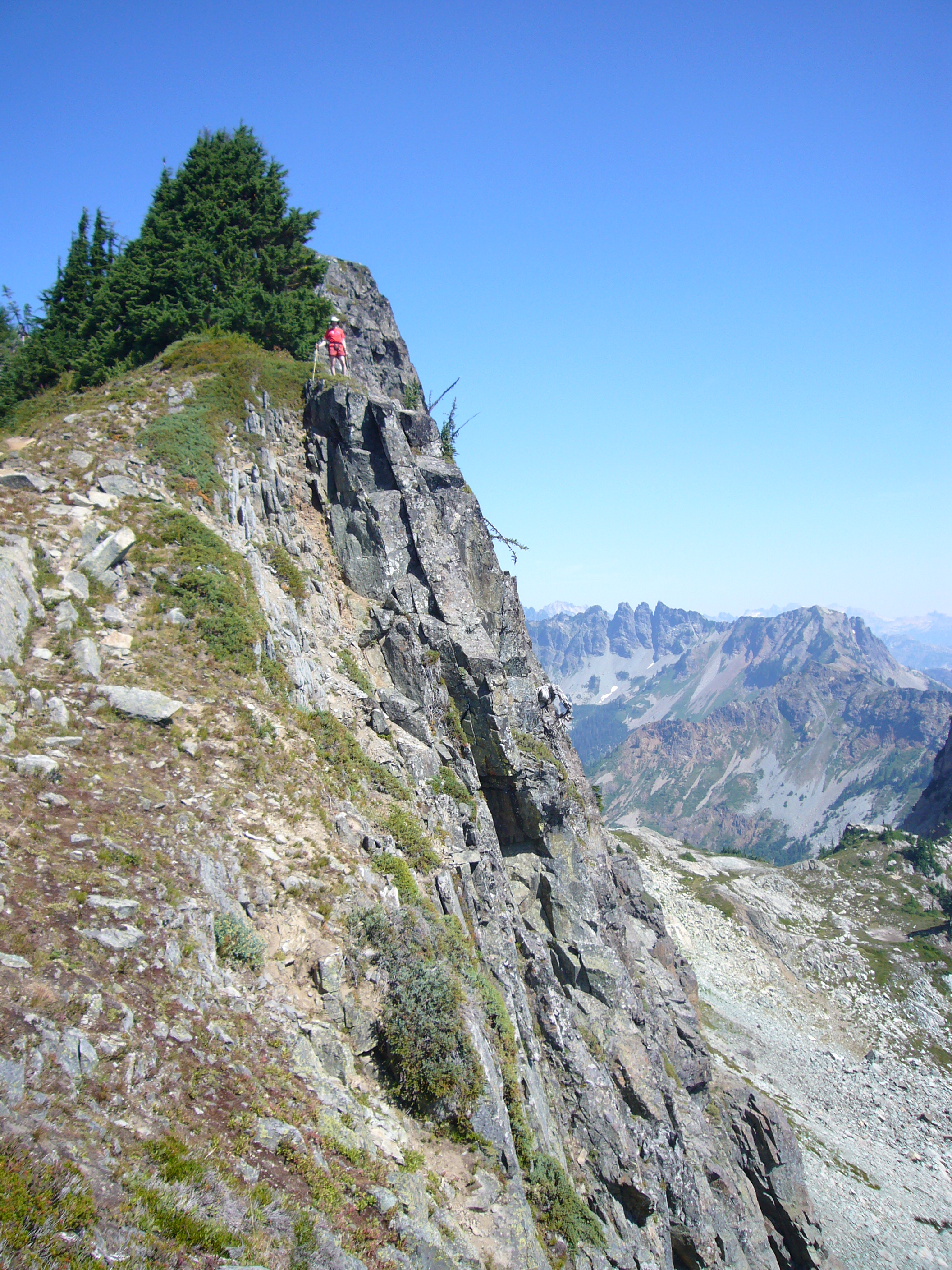
The trail continues towards the summit along a ridge
that becomes progressively narrower,
at some points becoming an arete with long steep
drop-offs on either side.
We talk with a pair of handsome older women returning
from the summit.
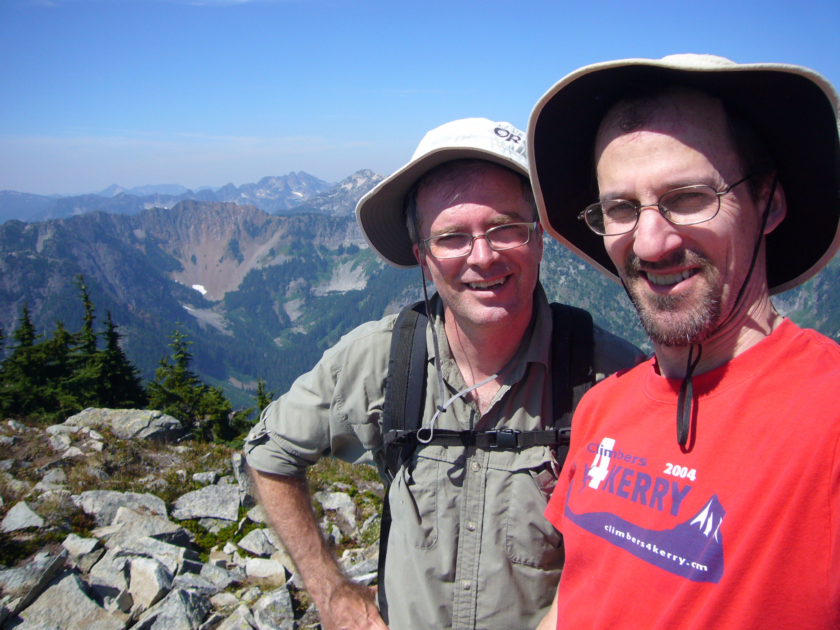
We reach the summit at 12:15.
In spite of the book, there's no scrambling.
Tremendous views in all directions,
although the day is slightly hazy.
There are irritating gnats and other bugs.
We finish our sandwiches and head down.
After about 1/4 mile we consider leaving the trail
and heading down a broad slope to a group of small lakes,
with a trail clearly visible on their shores.
The initial part of this slope is fairly steep and
has some loose rock.
I butt-slide a few feet and get cold feet.
We struggle with fear and the 'to be or not to be' aspect of the situation,
and with the knowledge that if Gaylord were here,
he'd go down the slope without a microsecond of hesitation.
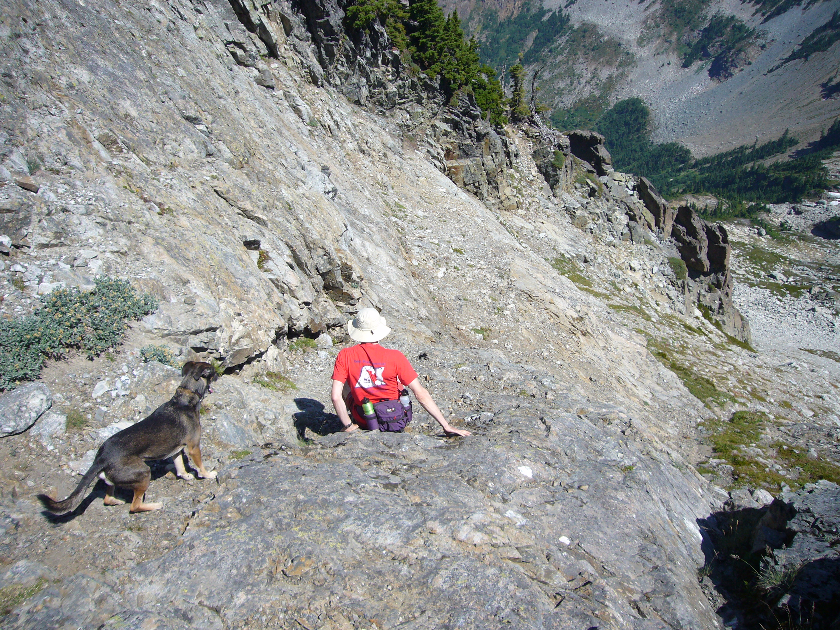
In the end, we chicken out.
Mostly, I chicken out, reasoning that a slip-and-fall
accident could hurt my somewhat dicey toes or lower back.
So we return by the trail.
The family with pouty daughters has made it slightly above the lake.
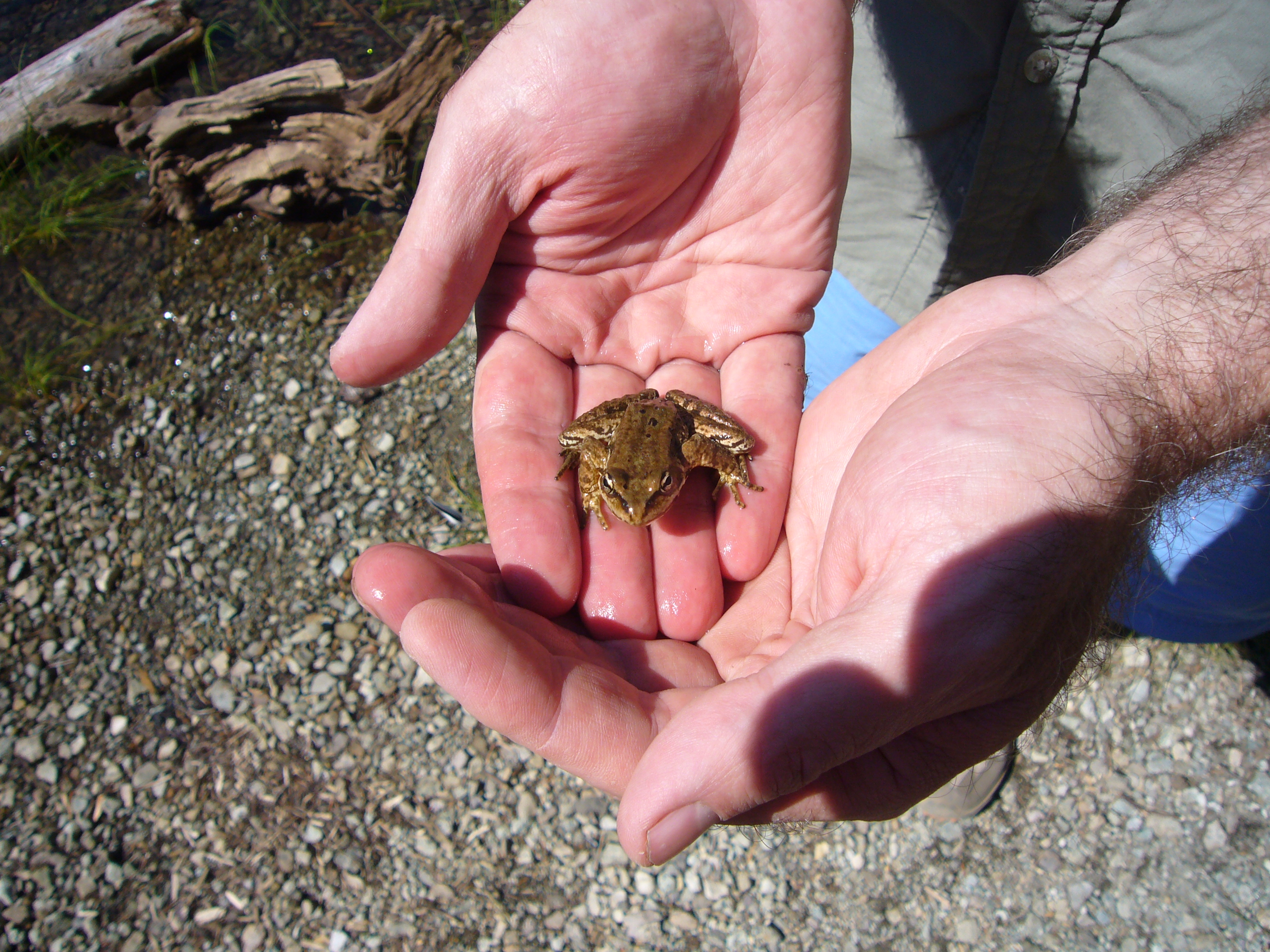
At the lake, Dave pumps some water and catches a small frog.
I rest and stretch.
When I get up I get little cramps in my hamstrings and
calves, but overall feel pretty good.
Dave has hairy arms
After descending past the headwall, we see a couple of slightly grizzled climbers (one with a helmet, the other with Kaflach boots) emerge from the forest. It turns out they have descended from Hibox mountain, which they say was a little hard (they made a slight navigation error and didn't go far enough right) but not too bad; David and I hope to try it sometime.
I broach the subject of chocolate milk shakes, and soon both Dave and I feel that there's a void in our stomach the exact size and shape of a milk shake.
When we get back to the parking lot, there are two teenage boys lying in the road in their mummy bags. They say they'd spent a night camping on Rampart Ridge, are out of food and water, and that their mother is two hours late picking them up. We agree to call their mother once we get cell phone signal. They are very polite, and say 'Thank you so much' many times.
A few minutes down the road, a large SUV with a female driver zooms past the other way, pretty clearly the mother in question. Back on I90, we called the number; the young man answers, and once again thanks us so much.
We stop at Scott's Soft Serve in North Bend and have a synthetic milk-shake variant. After a few minutes, who should roll in but Mom and the teenagers. We chat her up a bit and talked with the other kid, who has done some competitive rock climbing. Back on the road, the milk shakes sit heavily in our respective viscera.