Return to Conness
May 25-27, 2001 |
random trip report |
Text and some photos by David Anderson
Other photos by Justin Lee
Note: click on Justin's photos to see 1600x1200 versions
My co-workers Justin Lee and Rob Vaterlaus stride into my office, demanding not better working conditions or raises, but rather a mountain-climbing trip. I am only too happy to oblige. My right knee, surgically repaired about a month ago and slightly injured in a softball game last weekend, is gimpy but not enough to discourage me. Lynne, it turns out, has also been thinking of a trip, so she joins us.
Where to go? Justin is moving back to Texas next month, and I want to show him my favorite places in the Sierras. Rob and I did Mt. Conness last summer and it was great and not too hard. So I suggest it. I know that there will be some snow this early in the year, so we rent snowshoes and poles. Justin and Rob buy new hiking boots at Marmot. I borrow Mike O'Brien's entire collection of camping gear, augmented with new folding chairs, table, and cooler from Walgreen's.
Bringing digital technology to bear, I print topo maps from my new 10-CD-ROM set, and also use this software to trace the proposed climbing route, convert it to waypoints, and download these into my Magellan 315 GPS.
Lynne gives Justin a ride from SF and we rendezvous with Rob at my house 9 AM Friday. We strap onto the roof of Lynne's Passat wagon everything through which a rope can be passed - snowshoes, folding chairs, and the lovely folding plastic table.
Since there is ample time, we to drive over
Sonora pass (highway 108) instead of Tioga pass (highway 120).
This is a good decision - little traffic and nonstop beautiful scenery.
We rest at a vista point overlooking a steep dammed canyon.
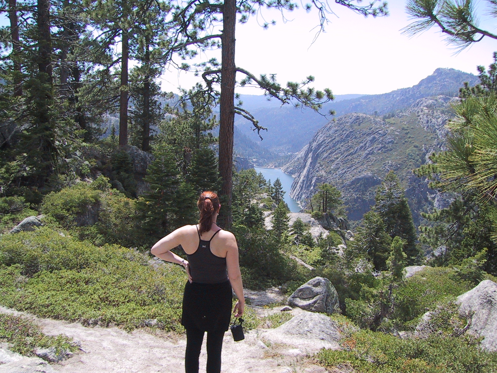
Donnell Vista on hwy 108
In Oakdale, a woman is driving a car whose bumper sticker reads 'F*** you, you f***ing f***'. The vibrancy of this self-expression pleases us.
We pull into Lee Vining around 4 PM,
stop at the Mono Cone, then buy water.
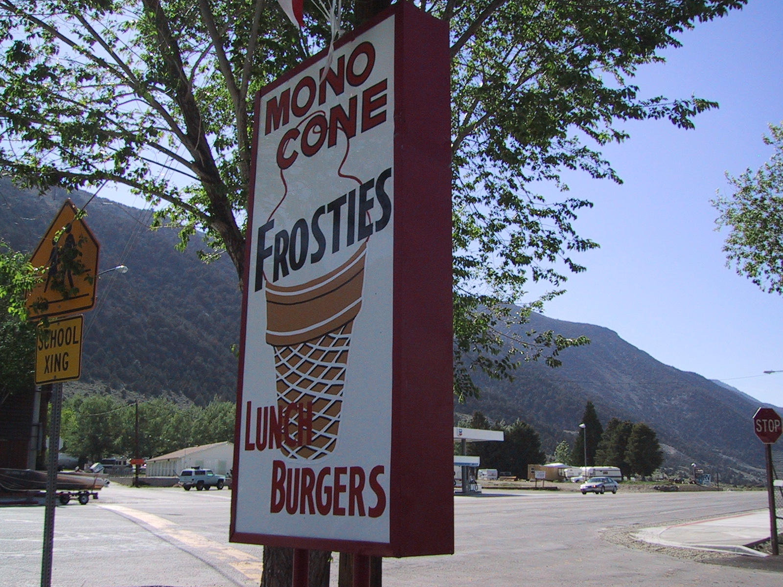
Mono Cone in Lee Vining
We continue towards our favorite camping area on the BLM land south of Mono Lake. Melting snow has turned the plain from gray to green. At Lynne's suggestion, we explore a new area: past the cinder cone and obsidian cliffs, past a mysterious plantless area, past a 7,000' elevation sign, and onto a soft cinder road through a sparse pine forest with sagebrush undergrowth. A few hundred yards up this road is a perfect campsite with fallen logs, a fire clearing, and good tent sites.
We pitch camp and collect firewood,
then don our hiking boots and
walk a half mile to the obsidian cliffs as the sun goes down.
Tiny purple flowers are interspersed among the sagebrush.
Justin climbs a hundred feet up the scree at the base of the cliffs,
scratching the hell out of his new boots.
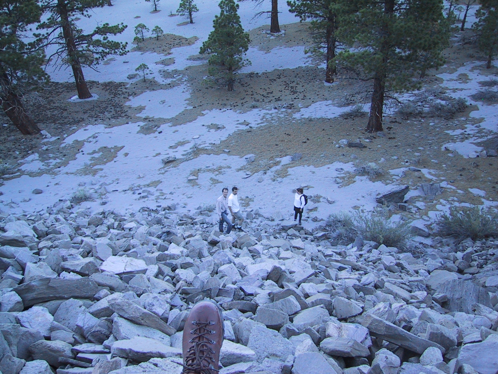
Justin on the scree
I take my GPS, which I have recently figured out how to use, and voila! it brings us back exactly to camp.
We heat up Trader Joe's frozen entrees for dinner,
then build the mandatory giant fire.
In a moment of inspiration I create the 'marshmallow tree':
a gnarly sagebrush limb on which
6 or more marshmallows may be toasted at once.
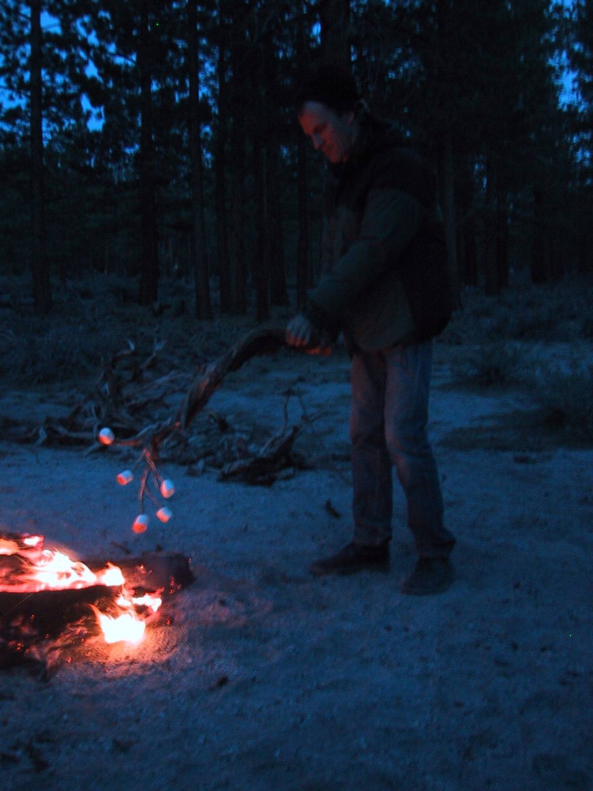
The marshmallow tree
We start early (6 AM) the next day, eat instant oatmeal,
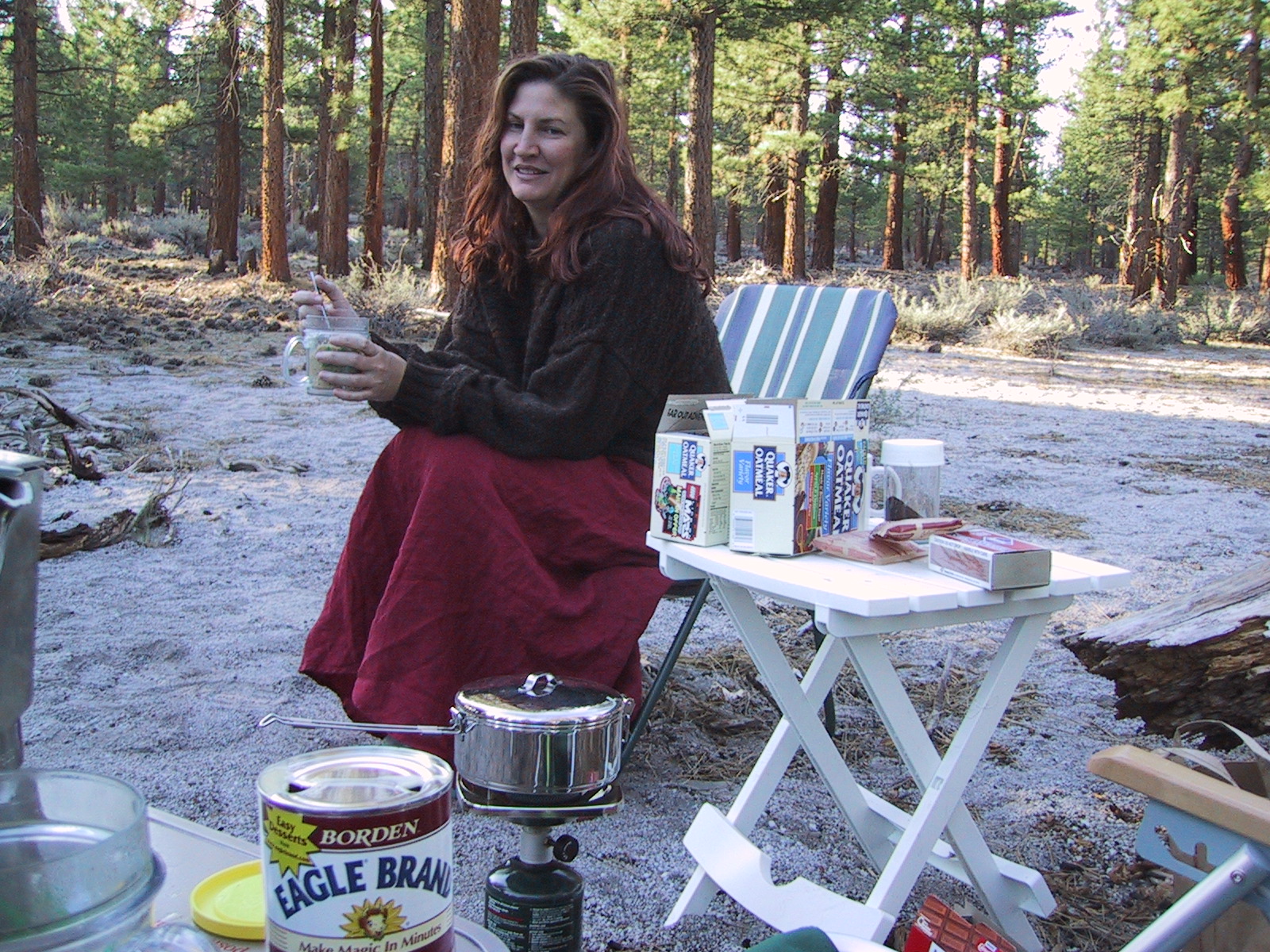
Condensed milk: Nature's Perfect Food
relieve ourselves at the Lee Vining Mobil station, and drive to the Saddlebag Lake trailhead. We're hiking slighly before 9.
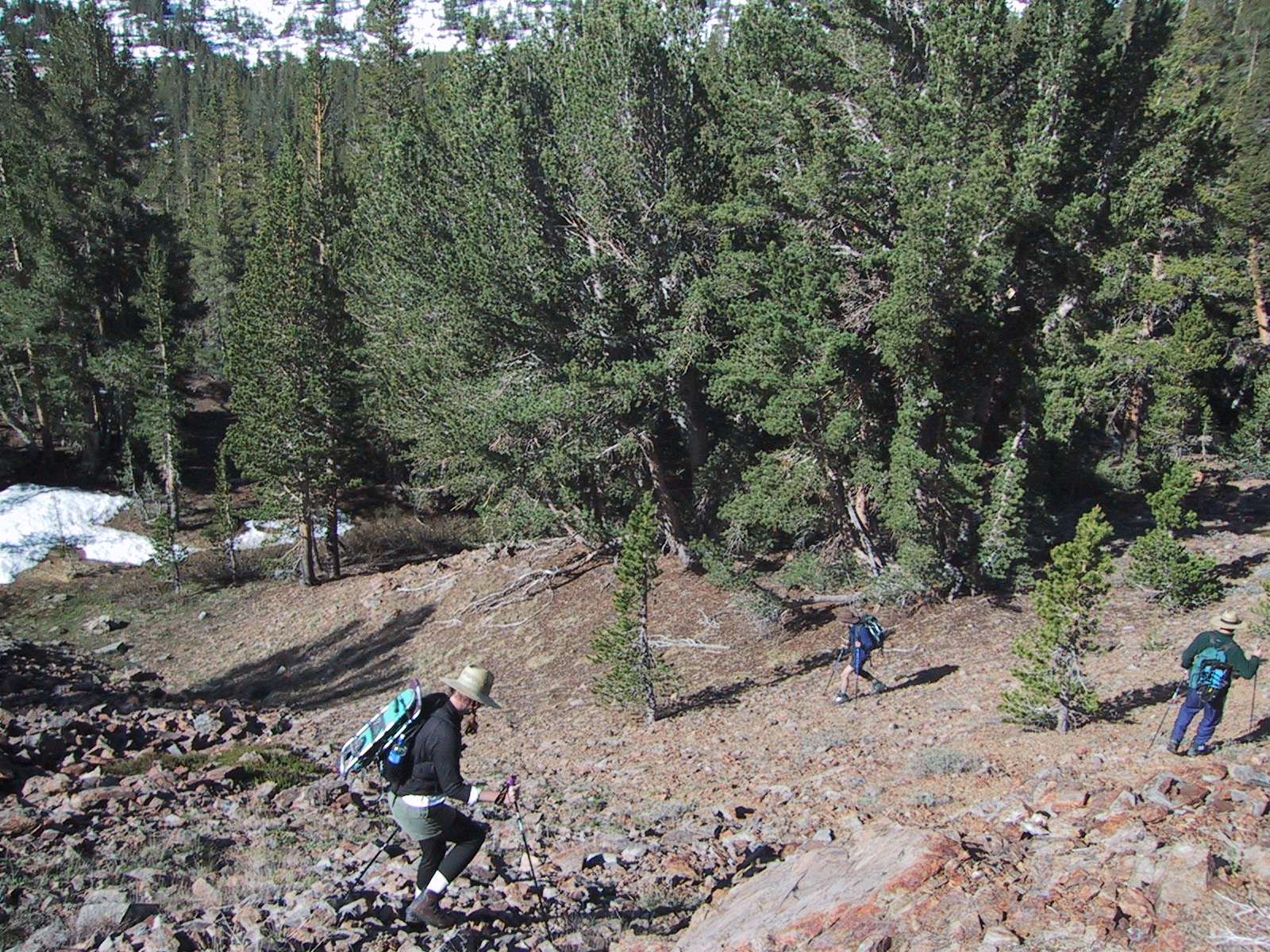
The trail starts with an irritating descent
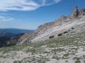
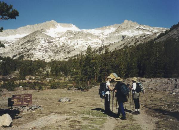
Mt. Conness is at the top of a valley running west from Saddlebag Lake.
The valley is about 3 miles long.
At first it's narrow and fairly flat,
but then it splits into three subvalleys,
separated by ridges that are themselves formidable mountains,
and with headwalls that loom high over the valley.
Between two of these ridges, very high up, is Alpine Lake.
Our plan is to climb to Alpine Lake,
ascend the bowl above it to the ridge above Conness Glacier,
climb a steep buttress to the summit plateau,
and cross the arete to the summit.
Alpine Lake is in the notch left of center
The first couple of miles are fast and pleasant.
The left (north-facing) slope of the valley is covered with corrugated snow.
We pass a loud bullfrog pond.
As we approach the steep slope leading to Alpine Lake,
the landmarks become hard to identify,
but with Justin's help we stay on course,
climb a long slope of granite blocks glued with dirt,
The climb to Alpine Lake
More of the climb to Alpine Lake
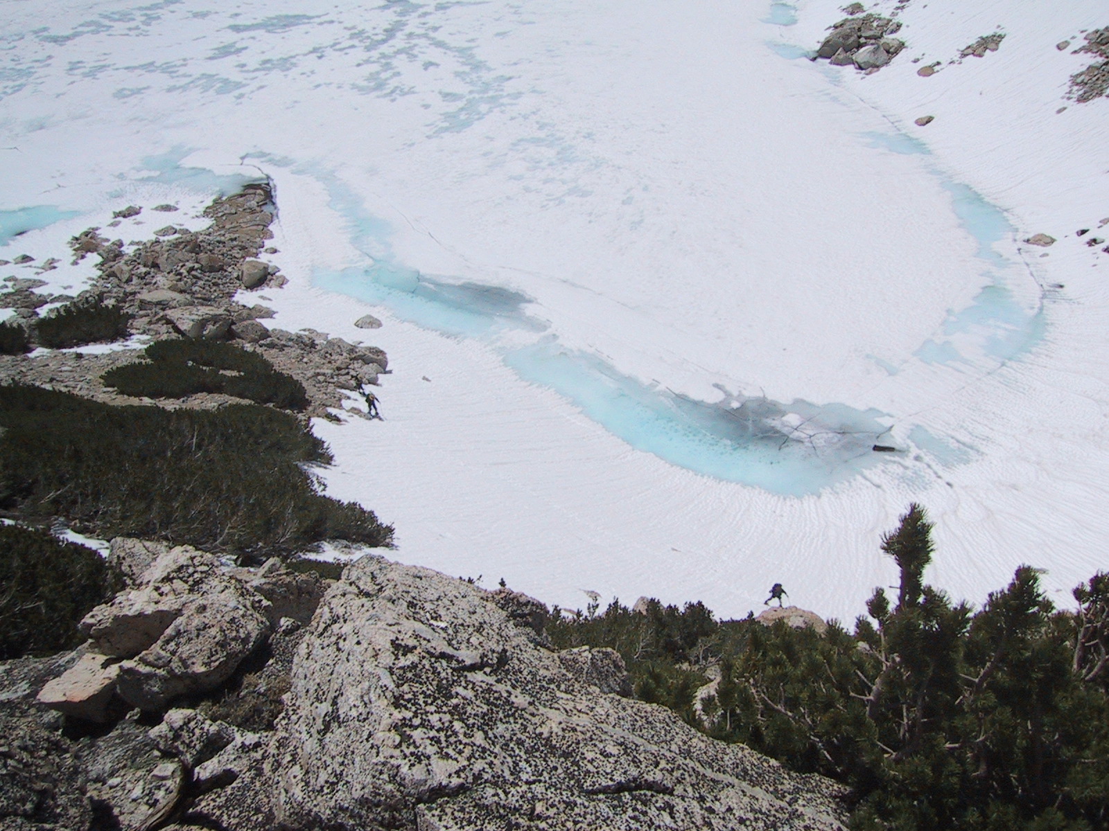
cross some unpleasantly slushy snowfields, and at noon reach Alpine Lake.
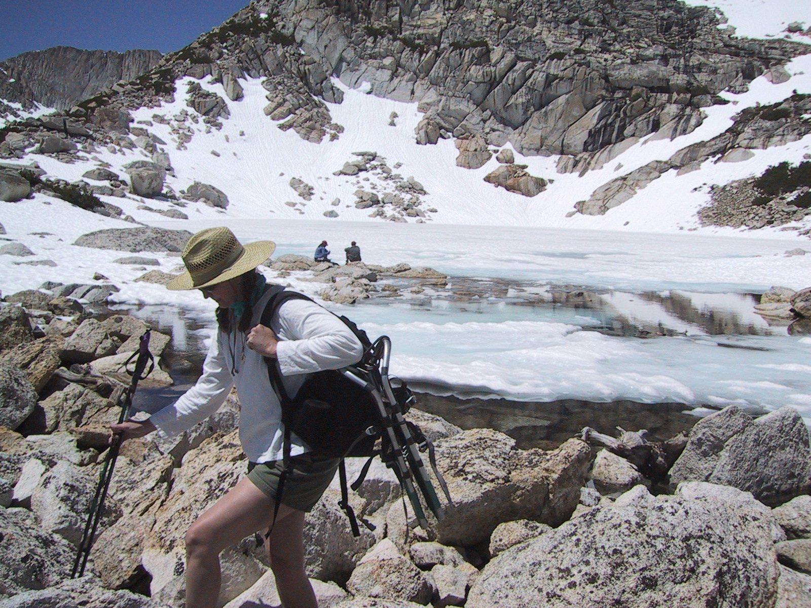
Alpine Lake
We rest for a few minutes and eat Clif bars. In the distance we hear the brief roar of an avalanche.
The view at Alpine Lake is daunting: the lake is frozen over; the steep walls around it are completely covered with snow; the bowl, across the lake from where we are, is mostly snow, as is the path to the summit plateau, which is distant and at least a thousand feet up.
So at this moment any realistic hope of summiting disappears.
But we're not going to give up without a fight.
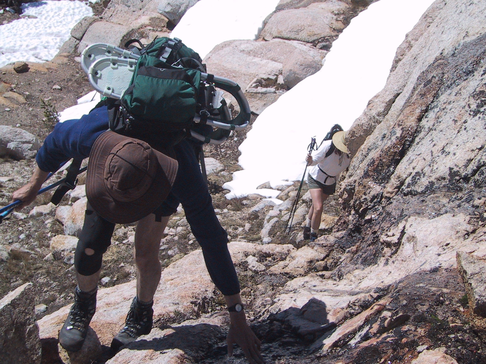
We put on snowshoes and set off around the right bank of the lake.
After a hundred yards there's a choice:
traverse across a steep snow slope that leads directly down into the lake,
or cross some rocks above it.
I try the first, Justin tries the second.
Halfway across the slope a snowshoe falls off
and when I lean down to reattach it my water bottle falls out
of my pack and slides down into the lake.
This is not good [note to self: attach bottle to pack on future climbs].
Justin's rock traversal is also fraught with extreme peril and difficulty;
he says it's the stupidest thing he ever did.
But we both make it across,
and walk up a steep rocky slope to where the snow starts.
Lynne and Rob follow.
Lynne bravely tries to keep up with us.
She has already vomited twice, from altitude sickness, earlier in the climb.
She can't keep water down.
We wait for her on some rocks high in the bowl;
she struggles up the slope fifty feet below us,
then abruptly faints and falls sideways into the snow.
She comes to, recovers, and keeps going.
She reaches us, and agrees to stop and wait for us to return.
We plow ahead.
After a couple of heartbreaking false ridges, we reach the real ridge,
remove snowshoes, and climb a spine of sharp yellow granite.
To reach the summit we'd have to get off the rock spine
(which is too jagged to negotiate)
and traverse a quarter mile across steep snow.
Then we'd have climb the buttress,
part of which is very steep snow - we can see faint tracks on it.
But the real killer is at the top,
which is sealed off by an immense overhanging cornice flanked on
both sides by vertical rock.
No f***ing way.
Besides, it's past 2 PM and we're worried about Lynne's condition.
So we head down.
I try to quasi-ski on my snowshoes but they keep falling off;
I give up on the snowshoes and slog on in my boots,
using my poles to minimize punching through.
We reach Lynne, who is sunning on a rock and feeling a little better,
though she has problems descending and eventually does an
uncontrolled slide on her rear.
I look at my watch and it's almost 3 - our daylight is running out fast.
I exhort everyone - especially Lynne - to move quickly and be efficient.
We recross the steep traverse and gain the rocks at the foot of Alpine Lake.
Lynne repeatedly punches through the snow,
twisting her right knee in the process,
and using lots of energy extricating herself.
Justin stays back, helping and encouraging Lynne.
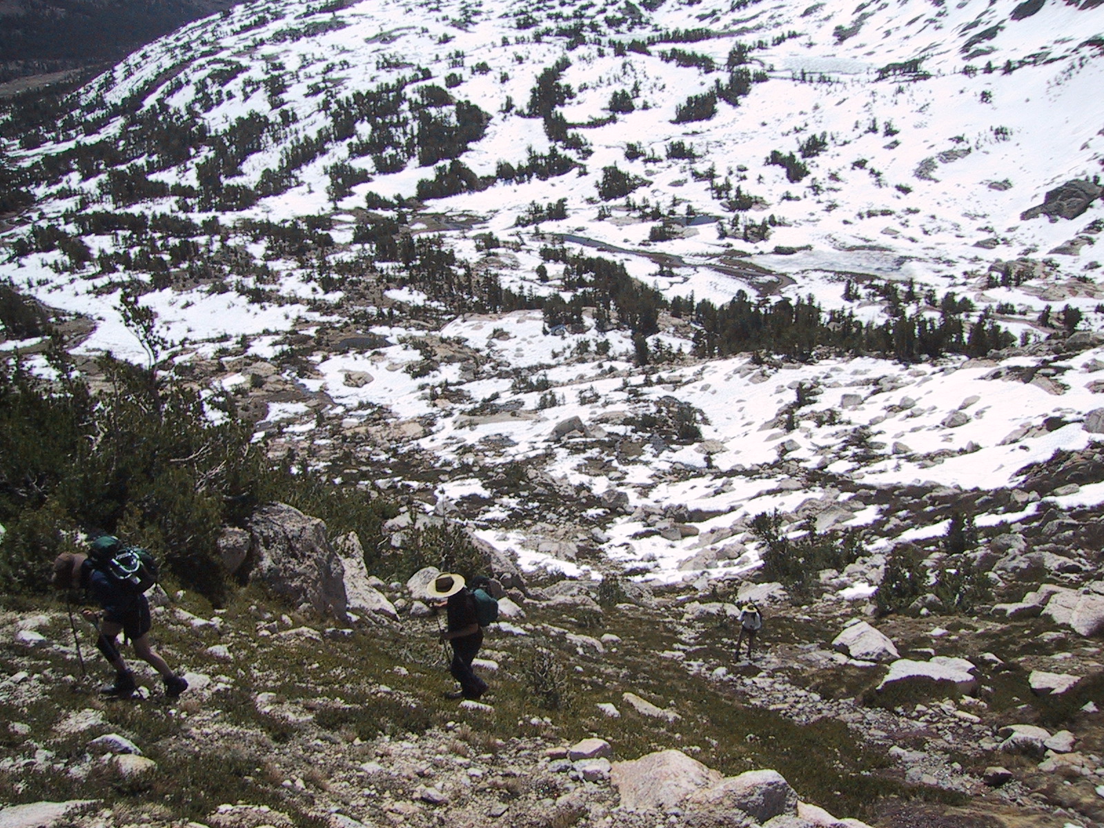
Without pause, we begin descending the steep slope below Alpine Lake.
This involves stepping down large blocks,
sometimes sitting down and using hands and/or poles for support.
A misjudgement or slip could mean a broken bone.
Rob, Justin and I descend about 50' and wait for Lynne to catch up.
After a few minutes we look up and realize she's frozen up and is not moving.
At this point I realize something is really wrong.
I climb back up to where she is, and she bursts into tears.
She has a bad altitude headache, has vomited several more times,
is dehydrated and weak,
has a painful and shaky right knee, and is scared and panicked.
She may be in shock.
I take our 4 ski poles in my left hand,
take her hand in my right, and lead her down the slope,
showing her each hand and foot placement,
and bracing her from below as she makes each move.
This seems to work - we're moving again, albeit slowly.
Justin and Rob help me route-find down the difficult slope,
on which paths often dead-end in 10-foot dropoffs.
We work our way down several terraces to the fairly level valley floor.
But the ordeal is not over - we have a couple of miles to go,
Lynne's headache becomes extreme and we have to stop repeatedly.
I lead her on, sometimes pulling her like a stubborn mule.
Justin has also gotten a bad headache.
As always, the last mile, which seemed so easy in the morning,
is a painful struggle on the way back.
My GPS pays off, simplifying the route-finding towards the end.
Lynne, on the verge of fainting,
stumbles up the final slope and into the car.
We race to Tioga Pass Resort and pump some Gatorade into Justin and Lynne;
dehydration and mineral depletion are perhaps their main problem,
because they both feel somewhat better soon.
Rob is feeling tired but OK, and I'm feeling great;
the absolute need to get the group
off the mountain and back to safety before dark
seems to have tapped a reservoir of energy in me.
The rest of the trip is great.
We have dinner at Bodie Mike's in Lee Vining (OK).
The next day we have a bacon/pancake breakfast,
We stop for ice cream at the Tioga Pass gas station,
where a swarm of Harley riders descend like something out of The Wild Bunch.
We poke around in Groveland,
then drive on to Oakdale, where instead of turning right
we keep going a bit and find a Mexican place, "T'kilas",
which actually serves no alcohol but has surprisingly good food.
The bar next door has a sign advertising 'New Manger' in primitive script.
The drive through Livermore valley and into the Bay area
is accompanied by a sunset of mind-numbing beauty.
In spite of the ordeal that Lynne endured,
I feel that the trip was a great success.
I'm glad Justin got a chance to see the Sierras at their finest.
The climb itself was a courageous accomplishment by all of us,
and I have renewed respect for
the climb Rob and I did last year.
But this climb was really scary,
because of the possibility of Lynne getting badly hurt,
or perhaps having to bivouac overnight and get rescued.
Because this was outside of my control
it scared me more than personal danger,
which I've encountered a bit of on other climbs.
(I've never worried one second about Mike O'Brien:
he's an indestructible mountain warrior).
Anyway, things worked out OK - but just barely.
Lynne and I have a new agreement: she won't climb above 11,000',
and I'll take her on some low-altitude routes.
Me (right) and Rob/Lynne (left) on scary traverse. Water bottle in lake is not visible. Photo taken by Justin on his 'high road' route.
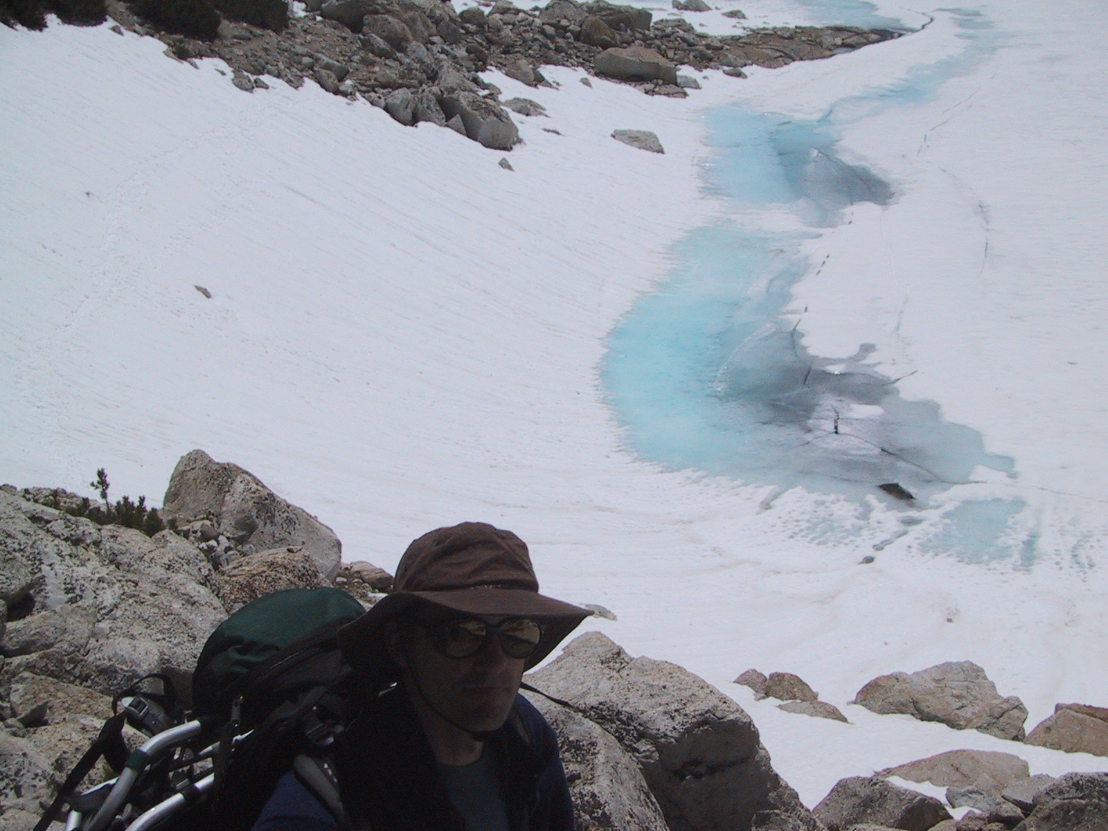
Scary traverse, another view. NOTE: in the hi-res version you can see my water bottle floating in the lake.
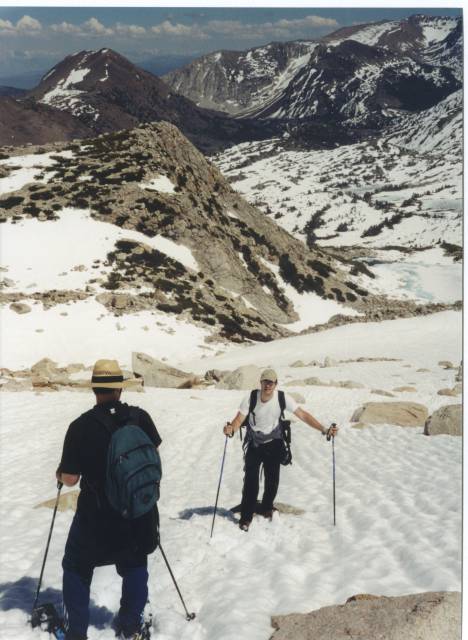
We put on snowshoes again
(the constant donning/removal of snowshoes is very taxing for some reason)
and follow a zigzag path up the bowl.
The snow is bad for climbing - lots of slipping
backwards and punching through up to knee or hip depth.
In places water courses over the nearby rocks,
and rushing water is audible under the snow.
The real ridge. Buttress leading to summit plateau, and evil-looking cornice, are visible at top.
From this bowel-weakening perch we look directly down into
the uncrevassed immensity of the Conness Glacier,
and across it to the absolutely evil-looking North Peak.
We chat with a young couple who have camped by Alpine Lake.
I check the altitude on my GPS: 11,850'.
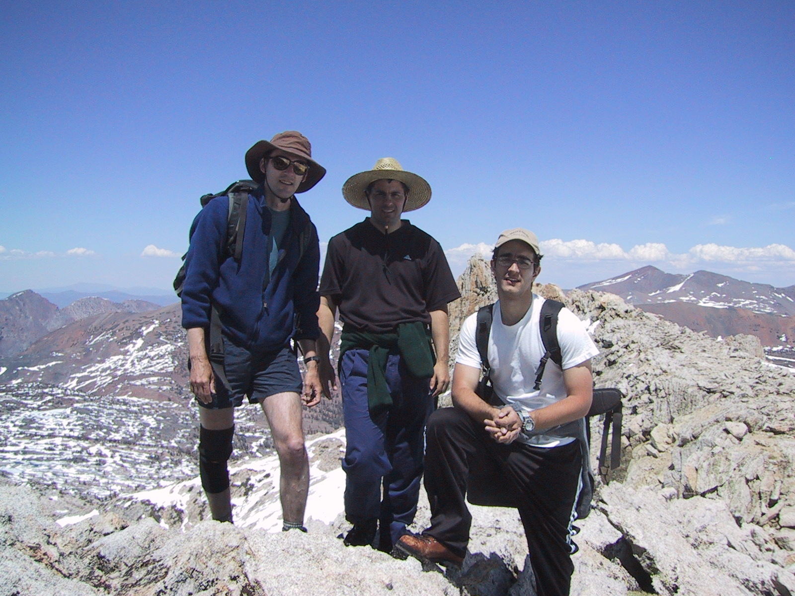
On the sharp ridge
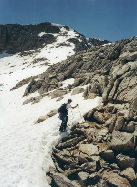
On the descent. Justin has given up on snowshoes. Alpine Lake at bottom of hill.
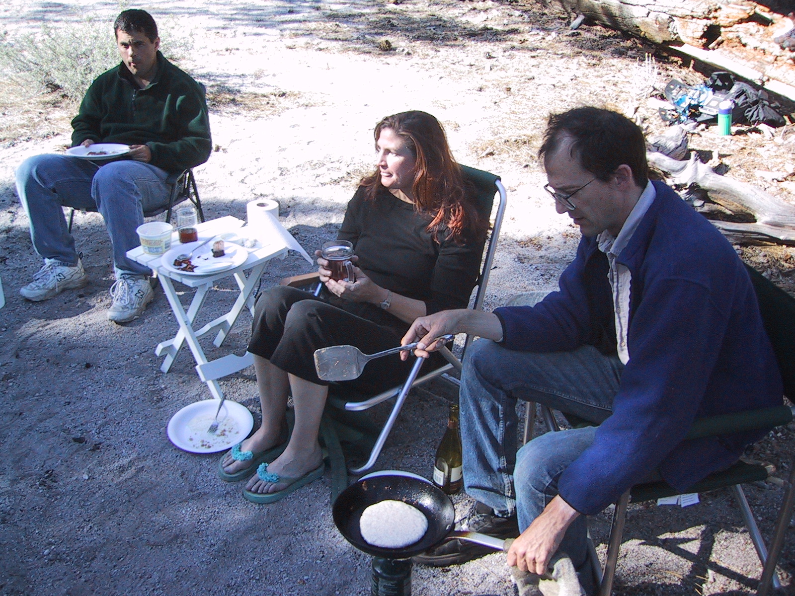
Pancake breakfast. Justin's sock is being used as a pot holder.
break camp, visit the South Tufa area,
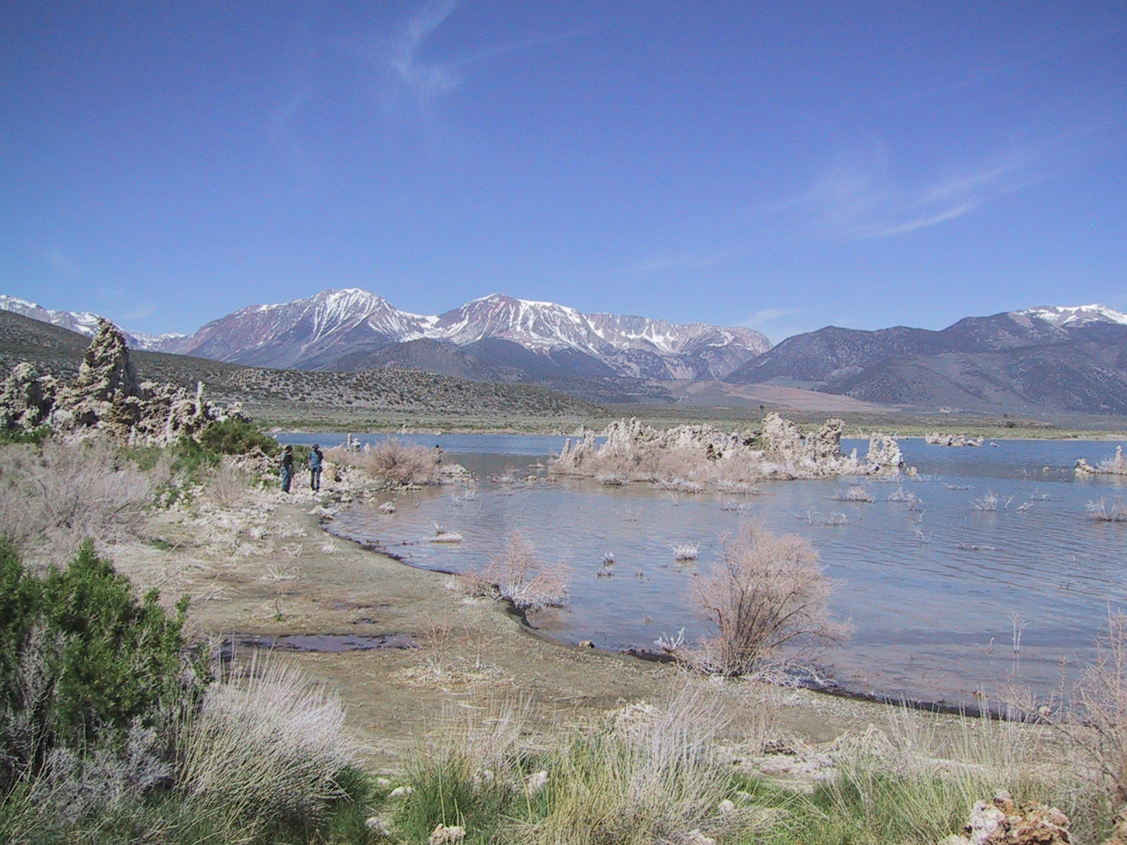
Tufas and peaks
then drive to Tuolomne Meadows,
with the goal of doing some top-roped rock climbing.
I have left my guidebook at home,
but a couple of extremely friendly climbing bums
direct us to Puppy Dome (across the road from Lembert Dome).
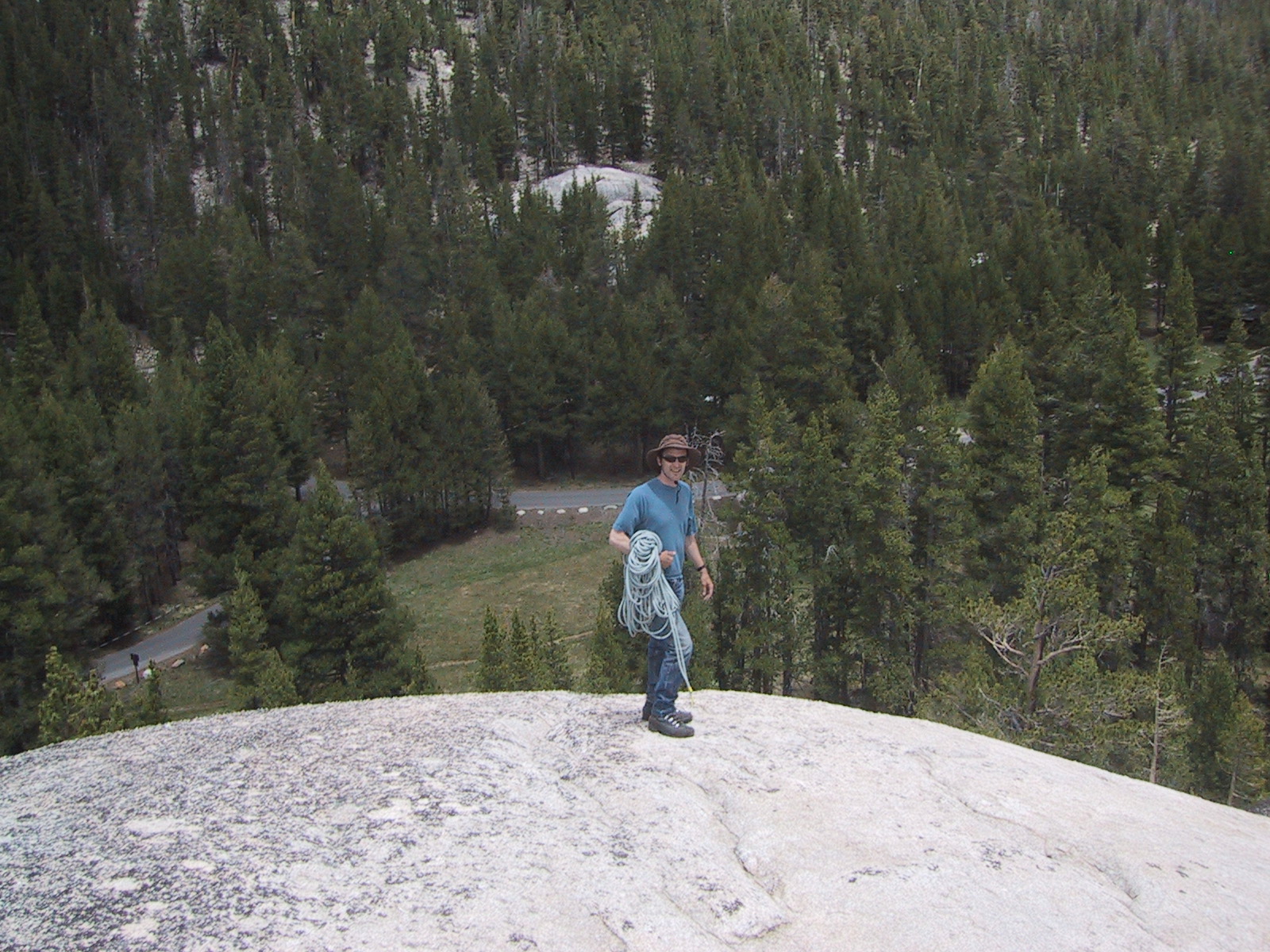
On top of Puppy Dome
Justin and I climb up from the left side
and find several good bolts on top.
We make an anchor using a tree for backup.
Then all four of us climb the route,
which is a moderate slab, 5.2 using a crack, 5.6 or so without.
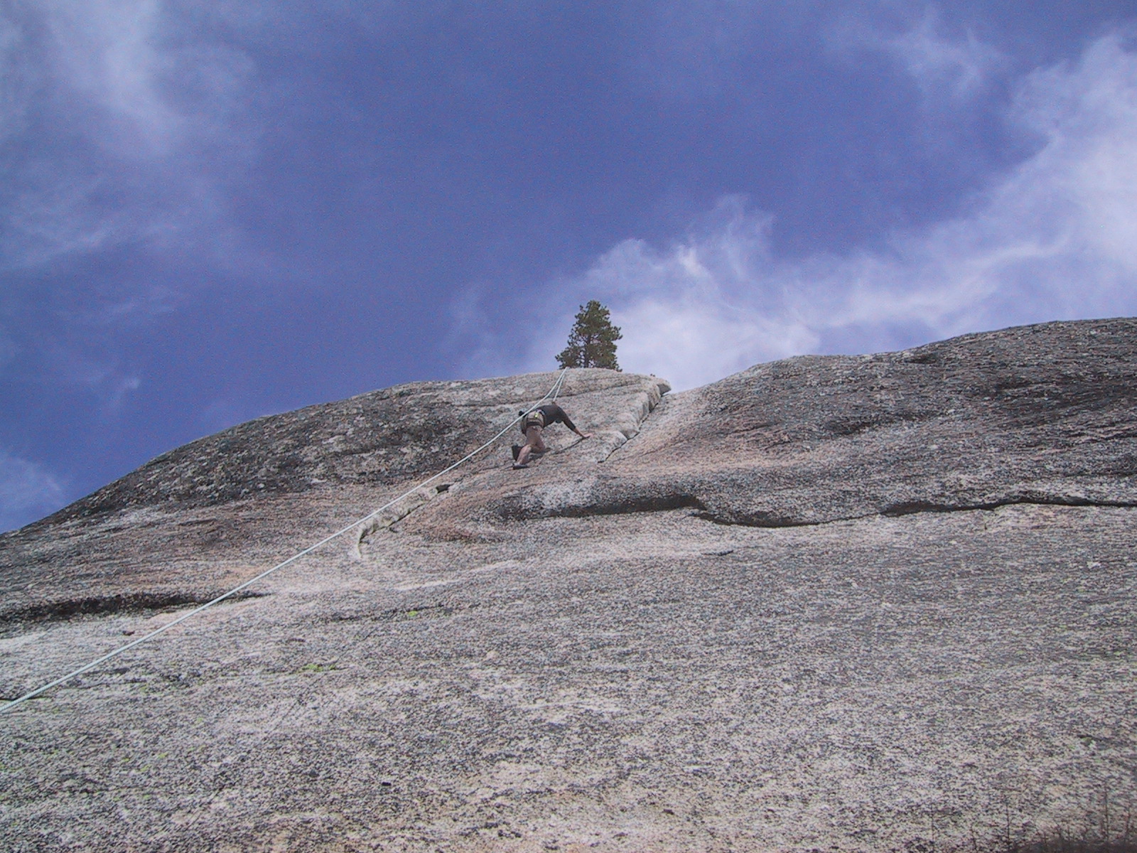
Lynne busts a 5.2 move
I then try to move the anchor to another bolt but give up after noticing
the rope is rubbing across an edge, and I lack
webbing to extend the anchor over the edge.