Mt. Tamalpais
Feb 27 2011 |

random trip report |
[Click images for large version and again for full resolution]
My friend Giulia had recommended a route, which may or may not have followed - few of the trails were marked, and I don't know of a good trail map.
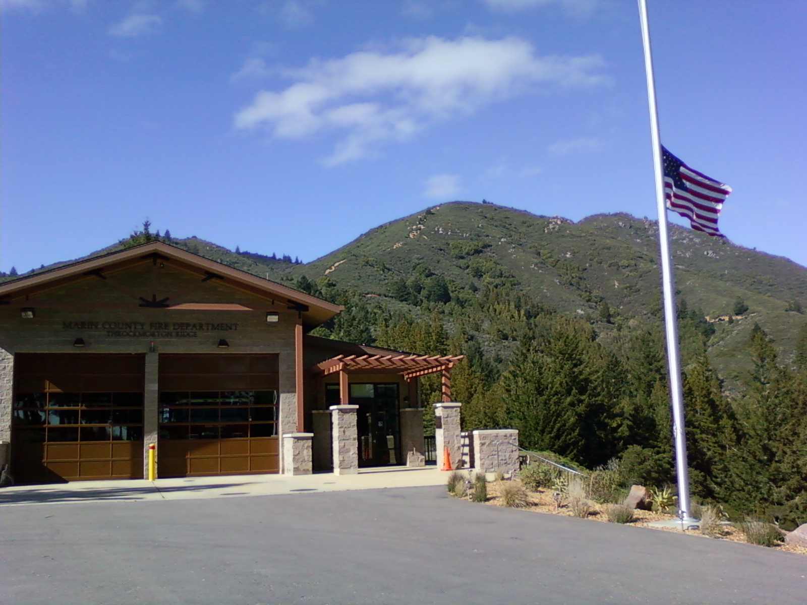
We parked all the way at the end of Cascade and went up an unmarked trail across the street. This was extremely beautiful. It went up a ridge, up a narrow washed-out gully, and eventually came out at a fire station. We followed a wide trail up to a junction, and went left on the Nora trail. This did a long traverse and ended up at the West Pt. Inn, and we went to East Peak from there.
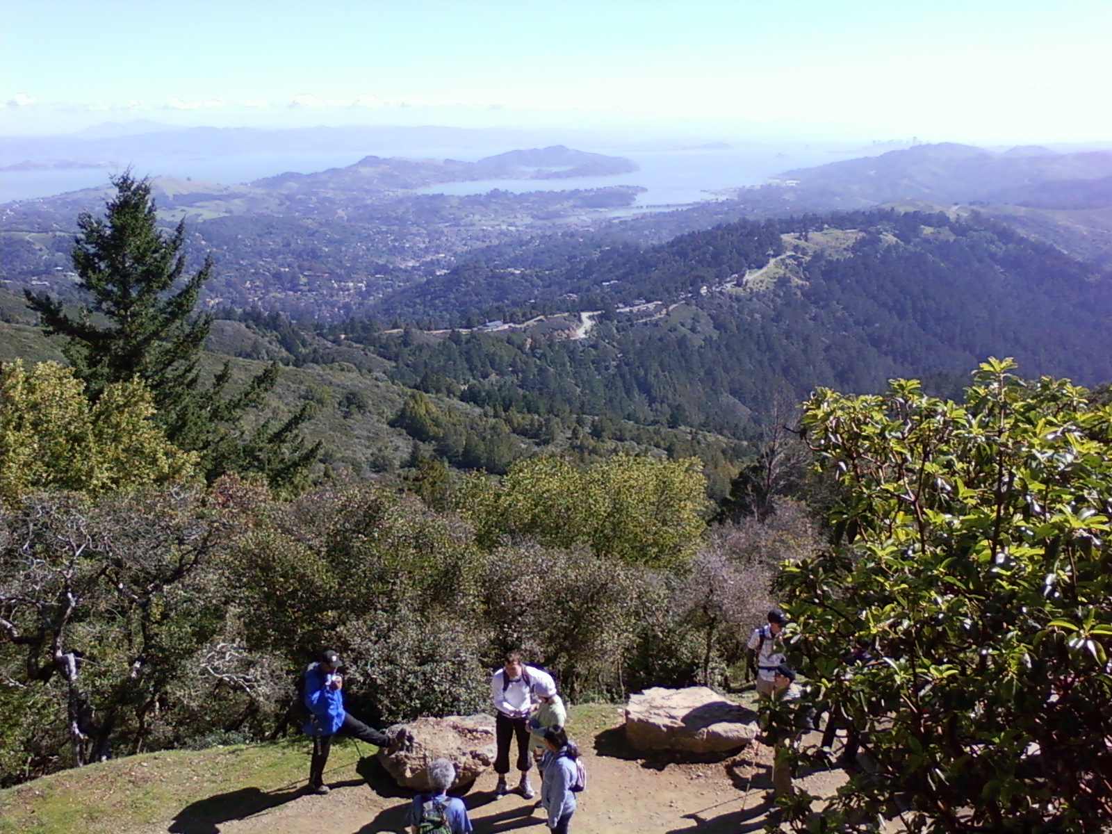
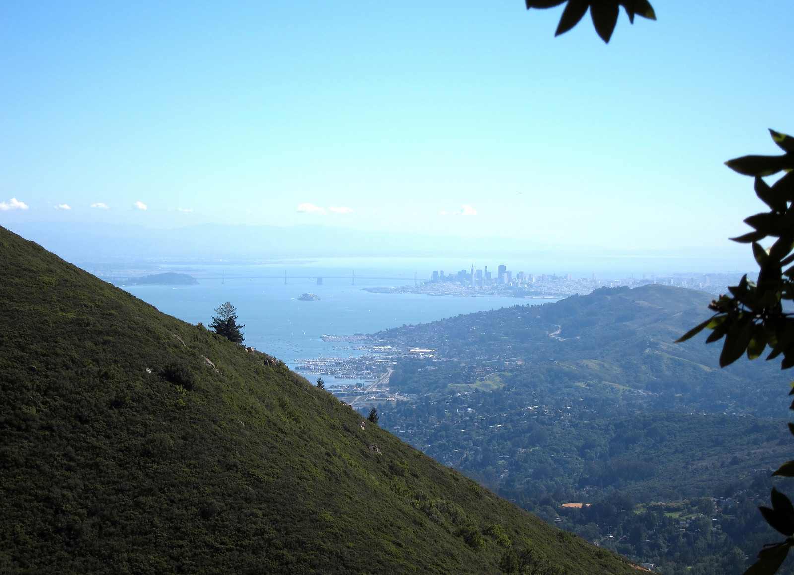
View from West Point Inn
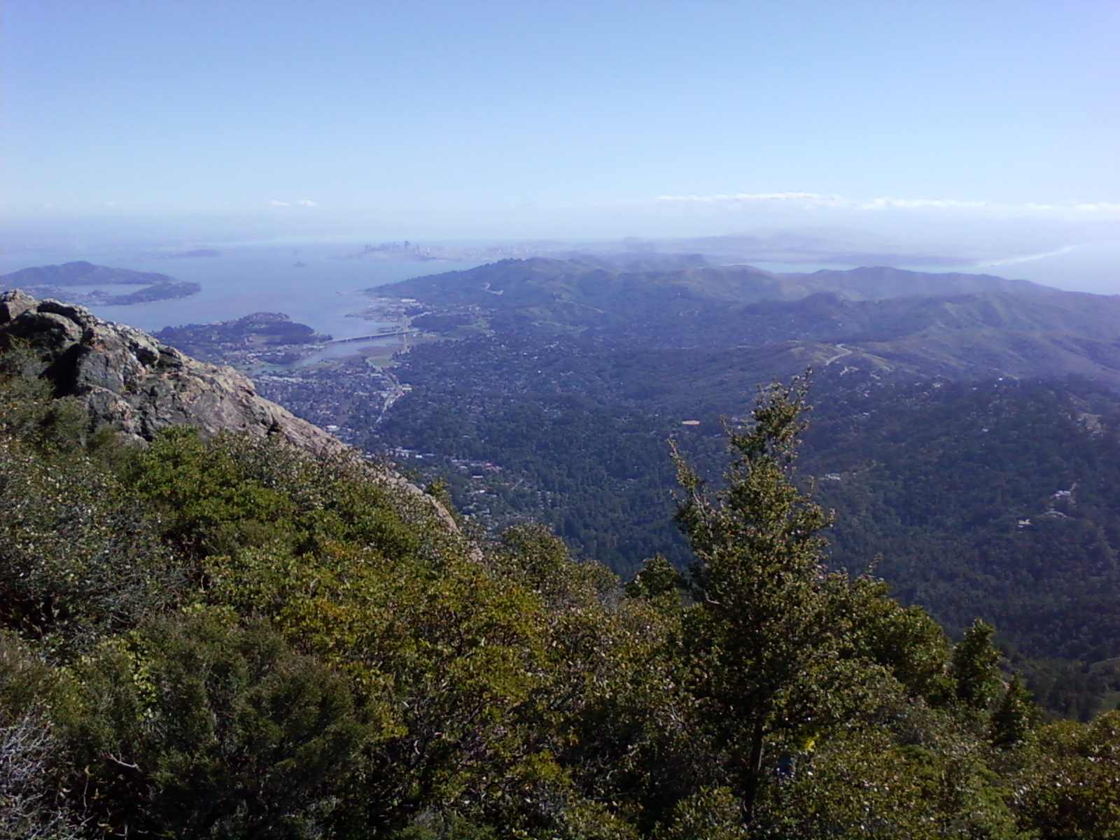
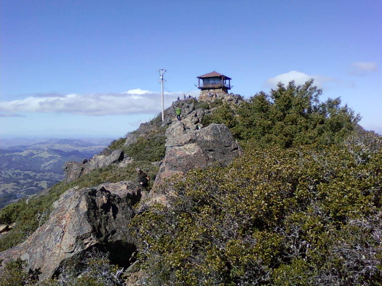
East Peak


On the way down, we took a small trail to the left near the top of the parking lot. This went through some manzanita to the knob w/ a few pine trees, then abruptly descended down a steep slope - this was the 'scar trail' that I was hoping to discover! At the bottom was a 'do not enter' sign, so I'm glad we took it down instead of up.


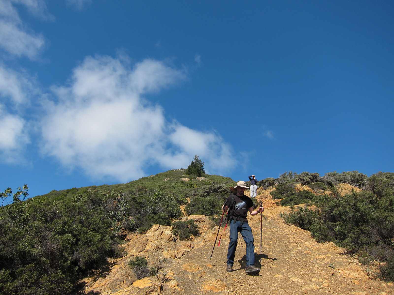
The bottom of the Scar Trail
Scar Trail visible on left of peak
We then went past the fire station again, continued past Mt. Home, turned left into a residential area, and eventually took a trail on the left that starts off skirting someone's back yard - is this the Zigzag trail? It ended up on Cascade, a hundred feet or so below our car.
Injury report: sore toes, esp. right foot.