Mt. St. Helens: UI confusion high on the mountain
4-7 June 2021 |
random trip report |
[Click images for large version and again for full resolution]
[Good photos by Dave; the rest by me.]
Ron, Dave and I have a tradition of getting together every summer to have a few beers, catch up, and do something outdoors. Sadly, we missed 2020 due to COVID. But now we're fully vaxxed and ready to rumble.
At Dave's suggestion we settle on Mount Saint Helens (MSH), the 8,366' volcano in SW Washington. Dave gets a permit.
Friday 4 June
I fly to SEA, meet Ron, and Dave picks us up. We drive to our rental in Woodlands. Traffic slows to a crawl for a long stretch around Fort Lewis (where my father was once stationed).
We stop at the Safeway and get a lot of food. The rental is the ground floor of a large rustic/luxury house set on a hillside with a commanding view. The large yard has sculptures, gazebos, a koi pond, rose bushes, and various trees. Very nice but also pricey ($300/night, counting all fees). The proprietor, Tim, and his wife live upstairs. Tim is rather talkative, and seems a bit skeptical about our MSH plans.
We eat roast chicken and asparagus out on the deck, with a good local IPA.
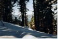
View from the deck
We discuss the beauty of clouds and their under-appreciation. Dave points out that there is in fact a Cloud Appreciation Society.
There are 2 bedrooms; I claim the single for myself and sleep well for a change.
Saturday 5 June
The forecast calls for rain. We plan to do a warm-up hike near MSH. Nearby is Ape Caves, which requires reservations and is booked up; we decide to go there and see if we can talk our way in.
We drive for an hour toward MSH, then turn off on a side road to Ape Caves. After about a quarter mile we hit a sneaky pot-hole at speed. The left rear tire goes flat, with a tear in the sidewall.
We jack up the car and put on the 'donut' (emergency spare), which is underinflated.
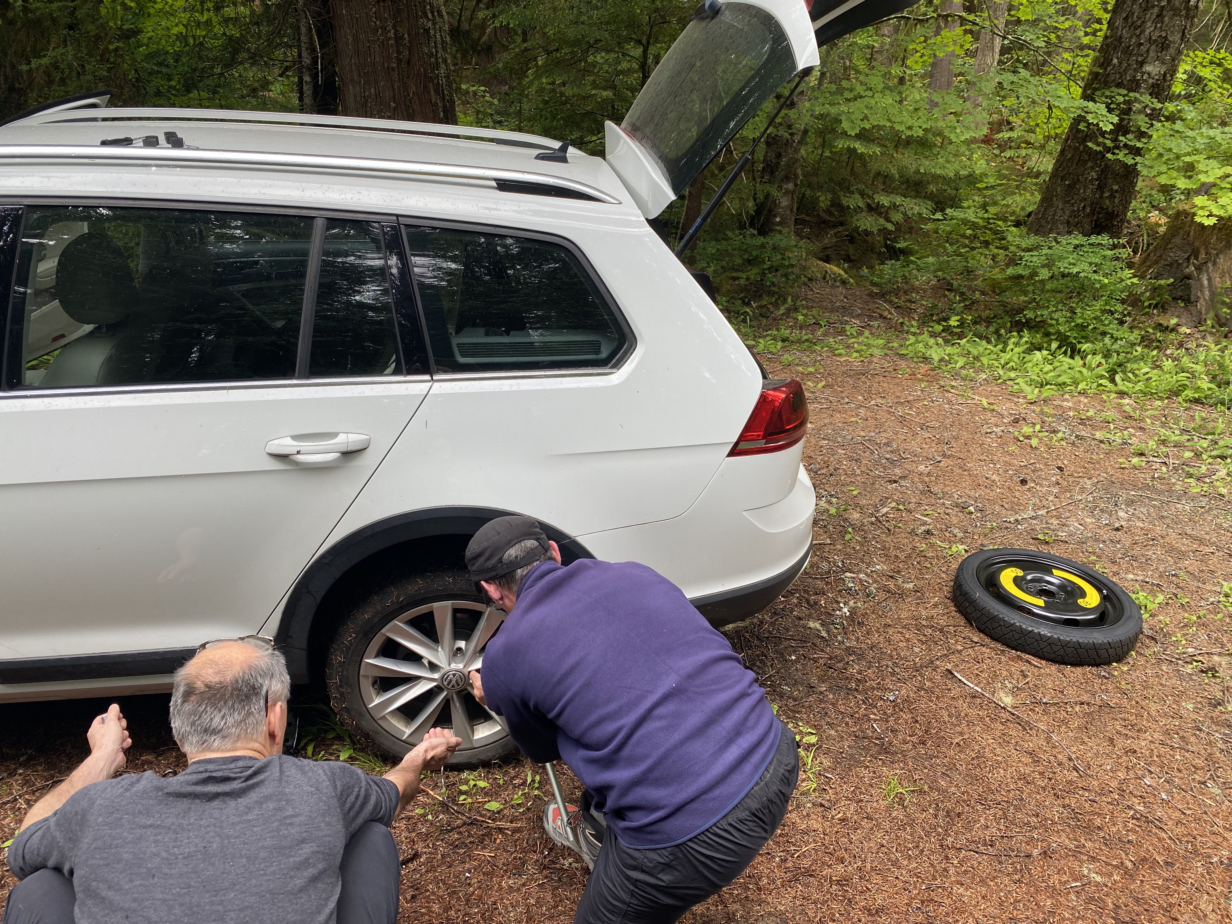
Is my butt really that big?
We continue to Ape Caves, and fail to talk our way in.
We return to the main road, and drive back down until there's cell service. Dave calls the nearest tire store, Les Schwab in Battle Ground. They don't have the exact size - 205/55/17 - but they have something close: 205/50/17. We drive there, hoping that either that will work or they can get the right size from a different store. We find a gas station and inflate the donut.
At Les Schwab they tell us to wait until they have time to look at the car; no ETA is given.
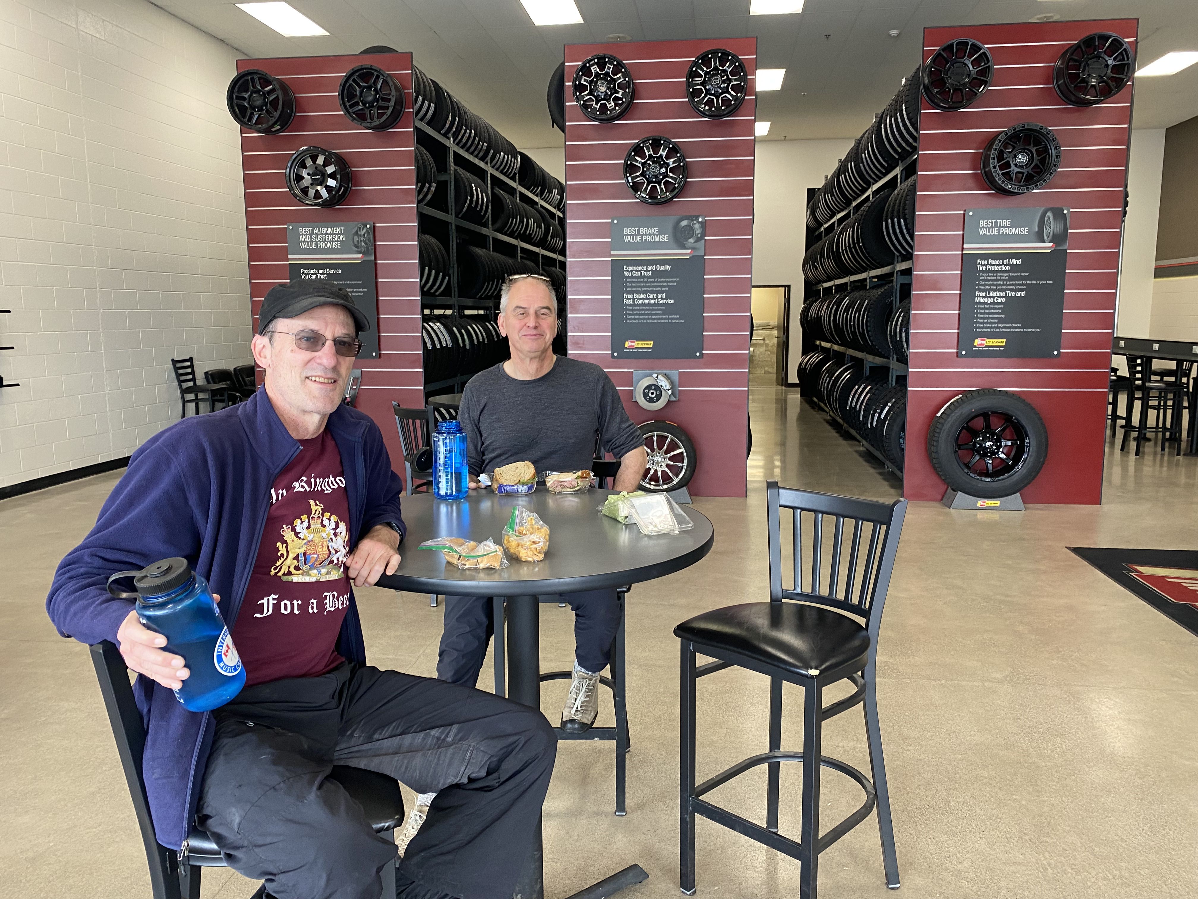
Hangin' at Les Schwab; My Kingdom for a Beer
Eventually Dave asks the manager to check their computer to see if any nearby Les Schwab has the right size; none does. Another customer recommends Discount Tire in Vancouver (WA, not Canada; it's a few miles away). We give up on Les Schwab.
Discount Tire doesn't have the right size either. Dave calls the VW dealer in Vancouver. They have the tires, but can't install them until Monday morning!
The only option seems to be: go to Vancouver and rent a car. Leave Dave's car at the VW dealer. Get up early Monday, drive to Vancouver, return the rental car, pick up Dave's car, drive to Seattle. A bit ornate.
We drive to Vancouver. On the way to the Enterprise office we pass a Firestone store, and call them. They don't have the tire but they're not busy either. New plan: get the tires from the VW dealer, take them to the Firestone store and have them installed.
We go to the VW dealer (one of many Dick Hannah dealerships in the vicinity). Not only do they have the tires, but they can install them right away! They blame the front office (who answers the phones) for the confusion.
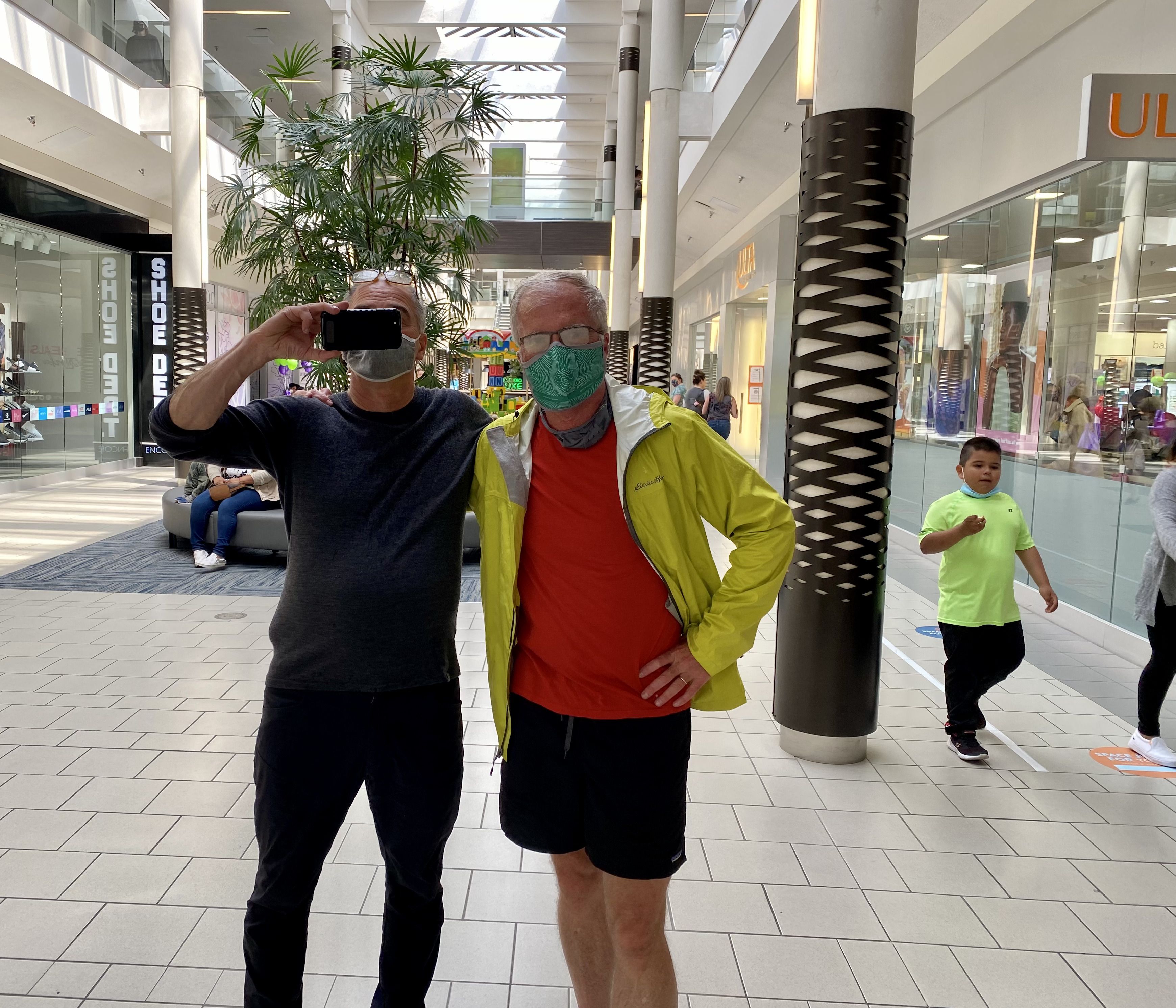
We have 2.5 hours to kill. We walk/jog a mile to a shopping mall (at my insistence, for no particular reason other than that I haven't been to a mall in a long time).
We return to the WV dealer and get the freshly-shod car. All's well that ends well, except that Dave's wallet is about $750 lighter.
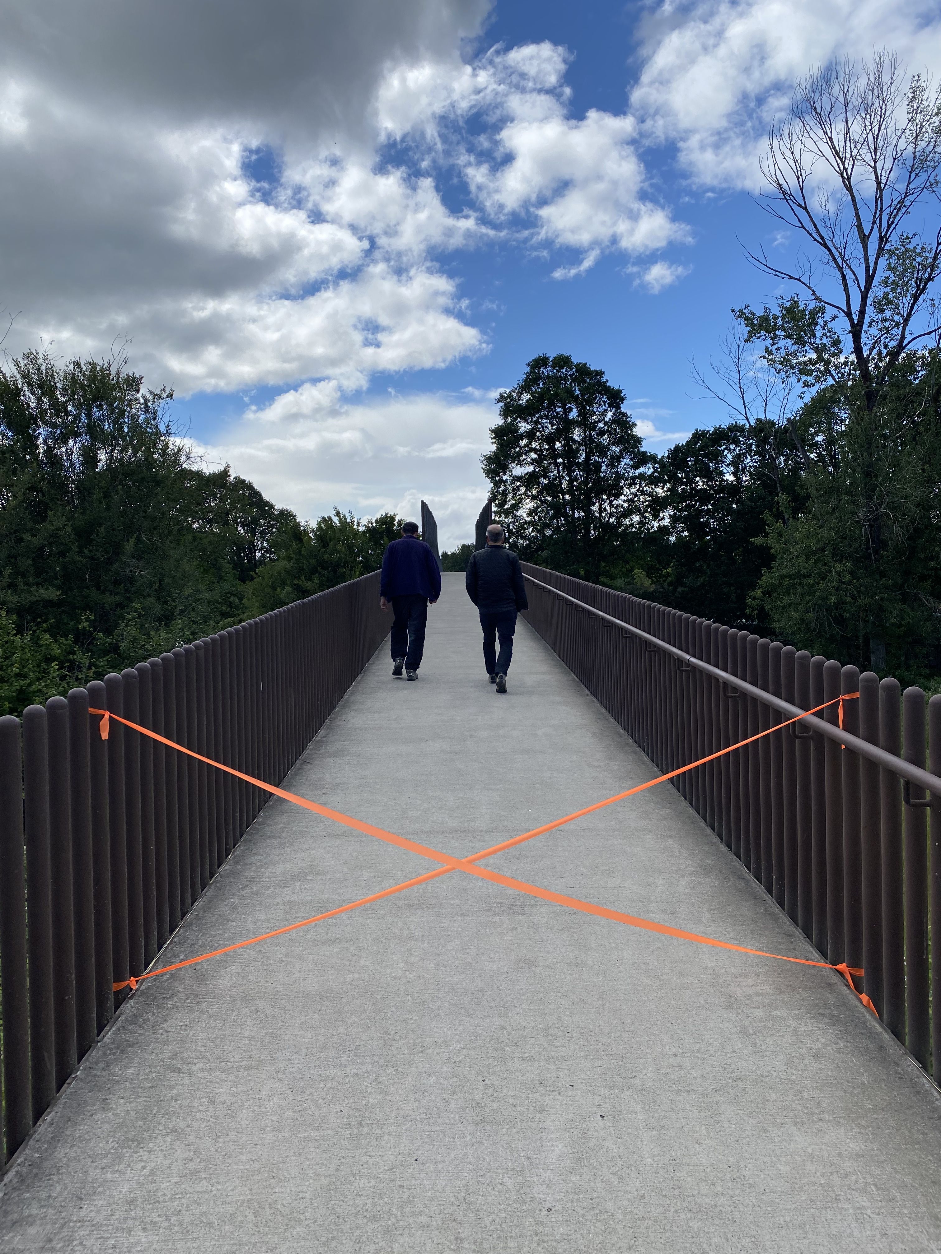
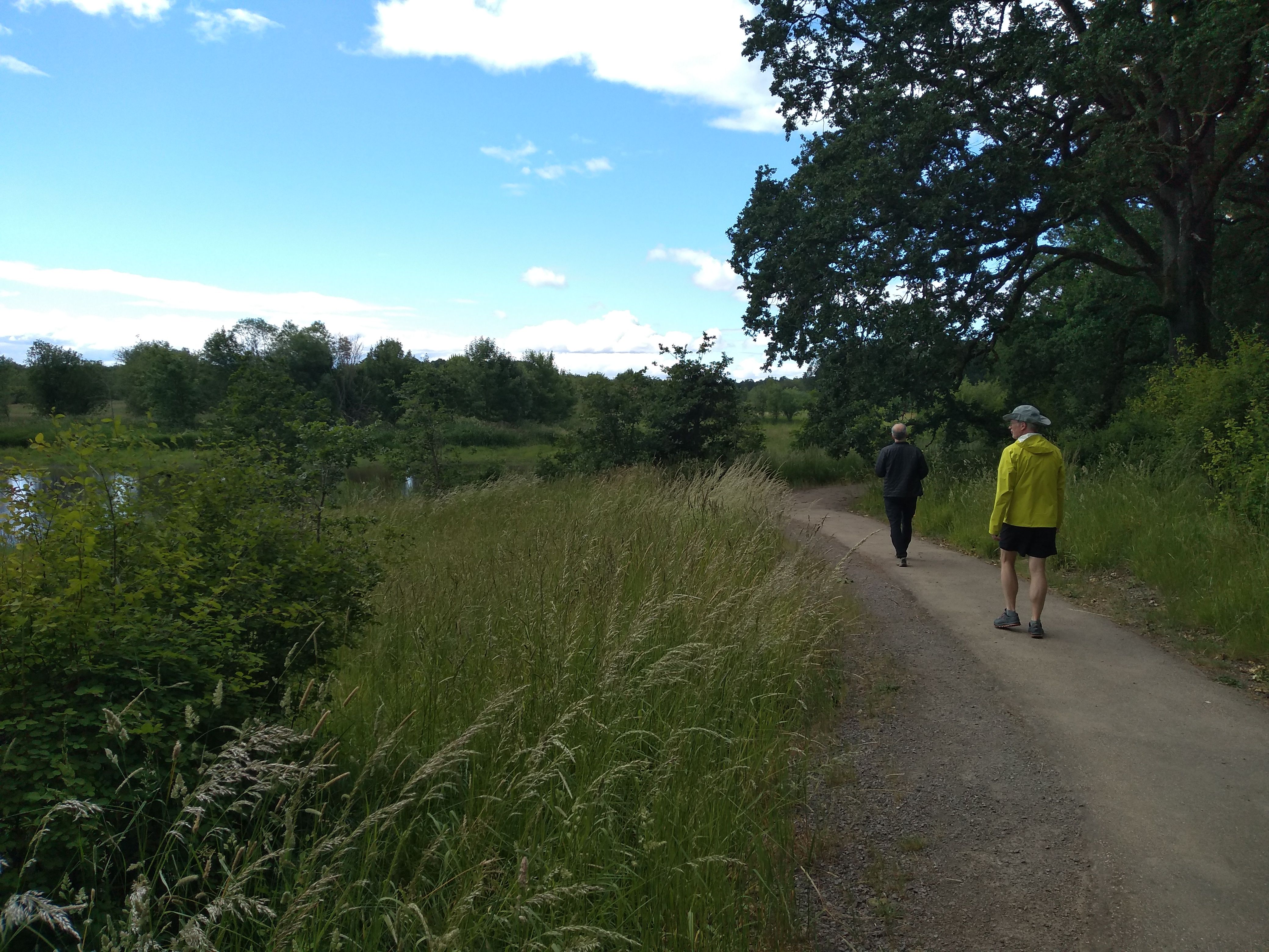
By now it's around 3:30 or so. The rain stops and there's some sun. We drive to the Ridgefield National Wildlife Refuge to do a short hike. It's fenced off and closed-looking - they're building a fancy new vistor center - but we go in anyway and cross a taped-off footbridge over some railroad tracks.
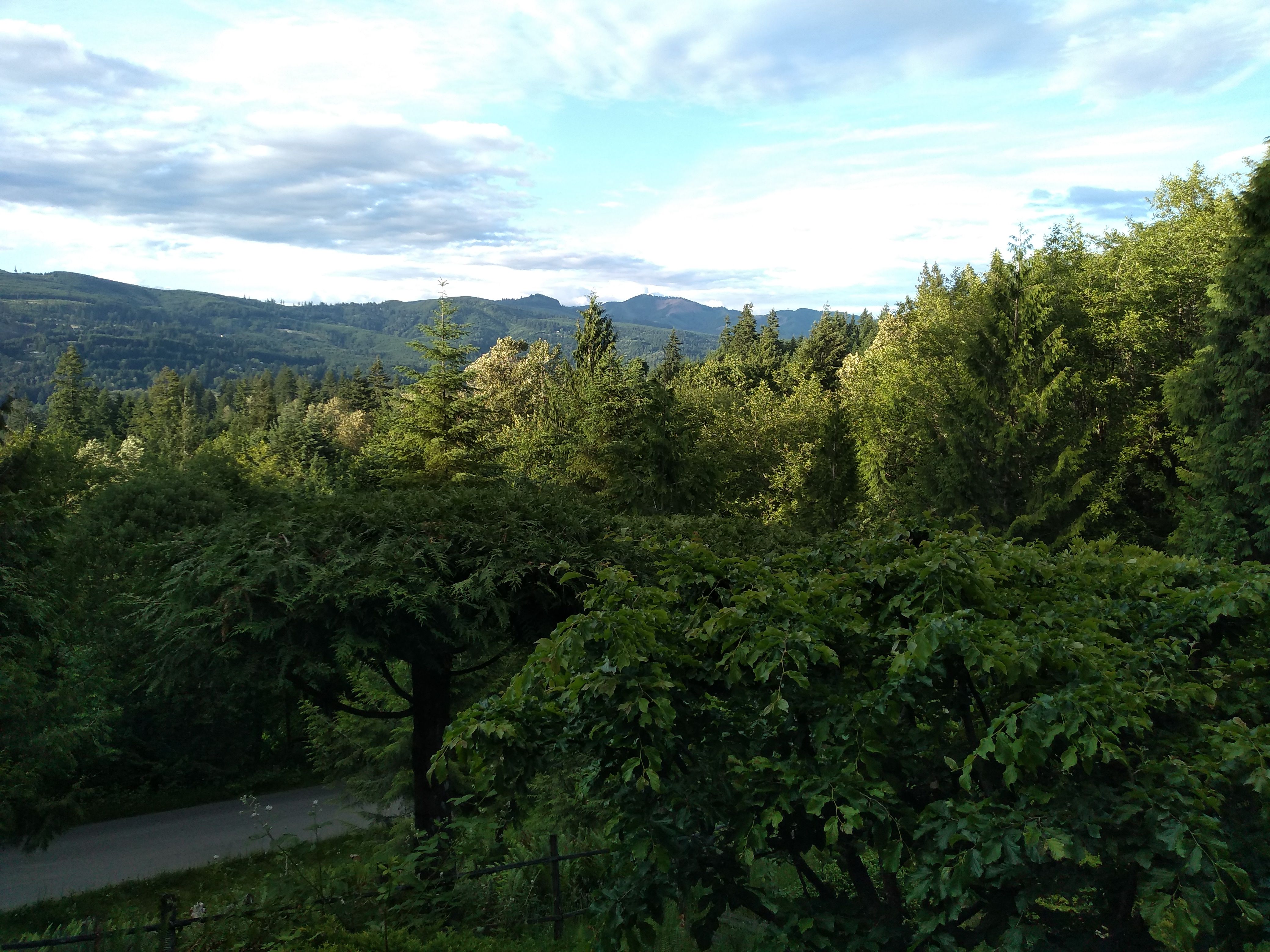
Nice freakin' clouds, eh?
We pass some kind of native-American log structure.
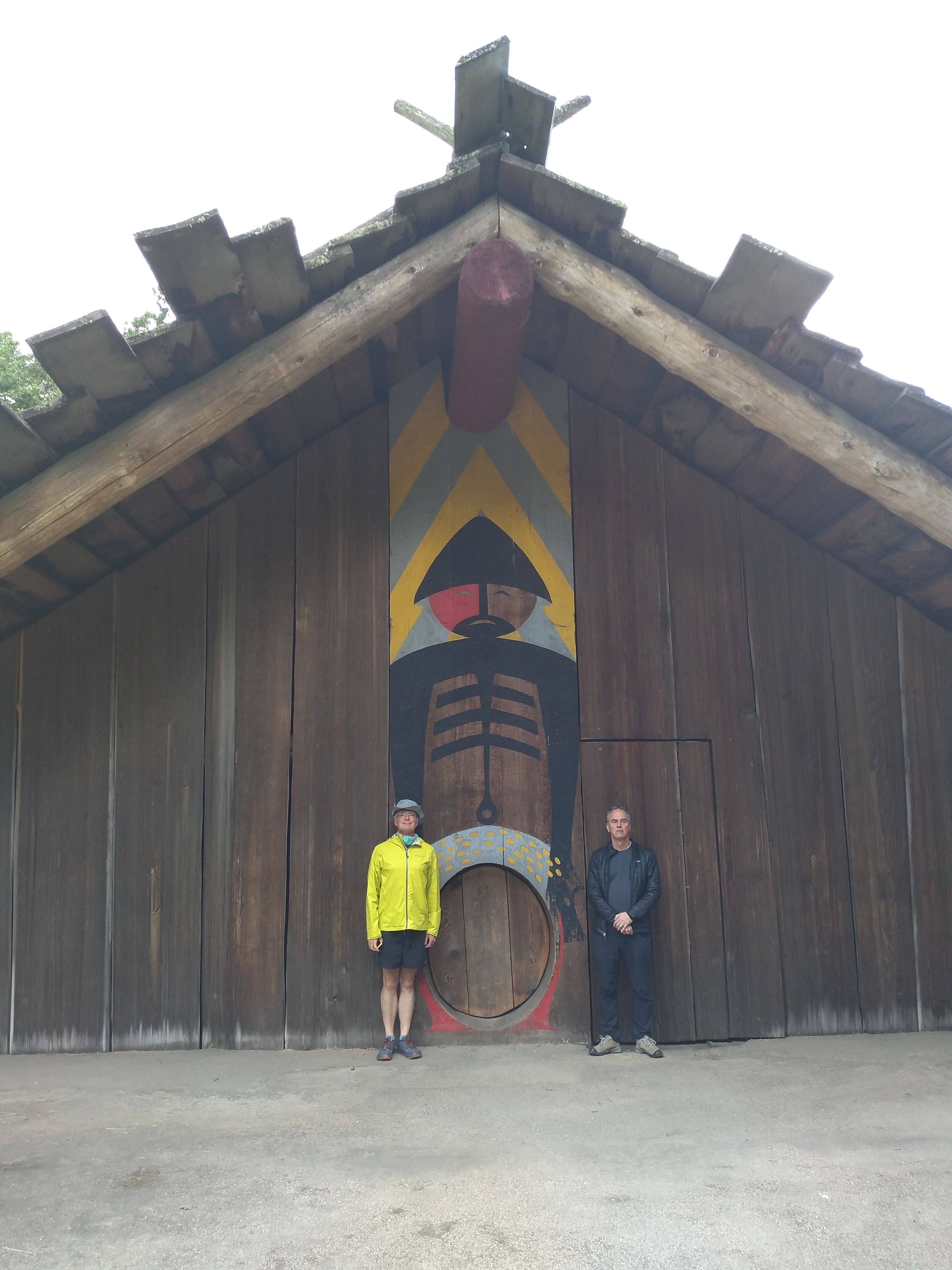
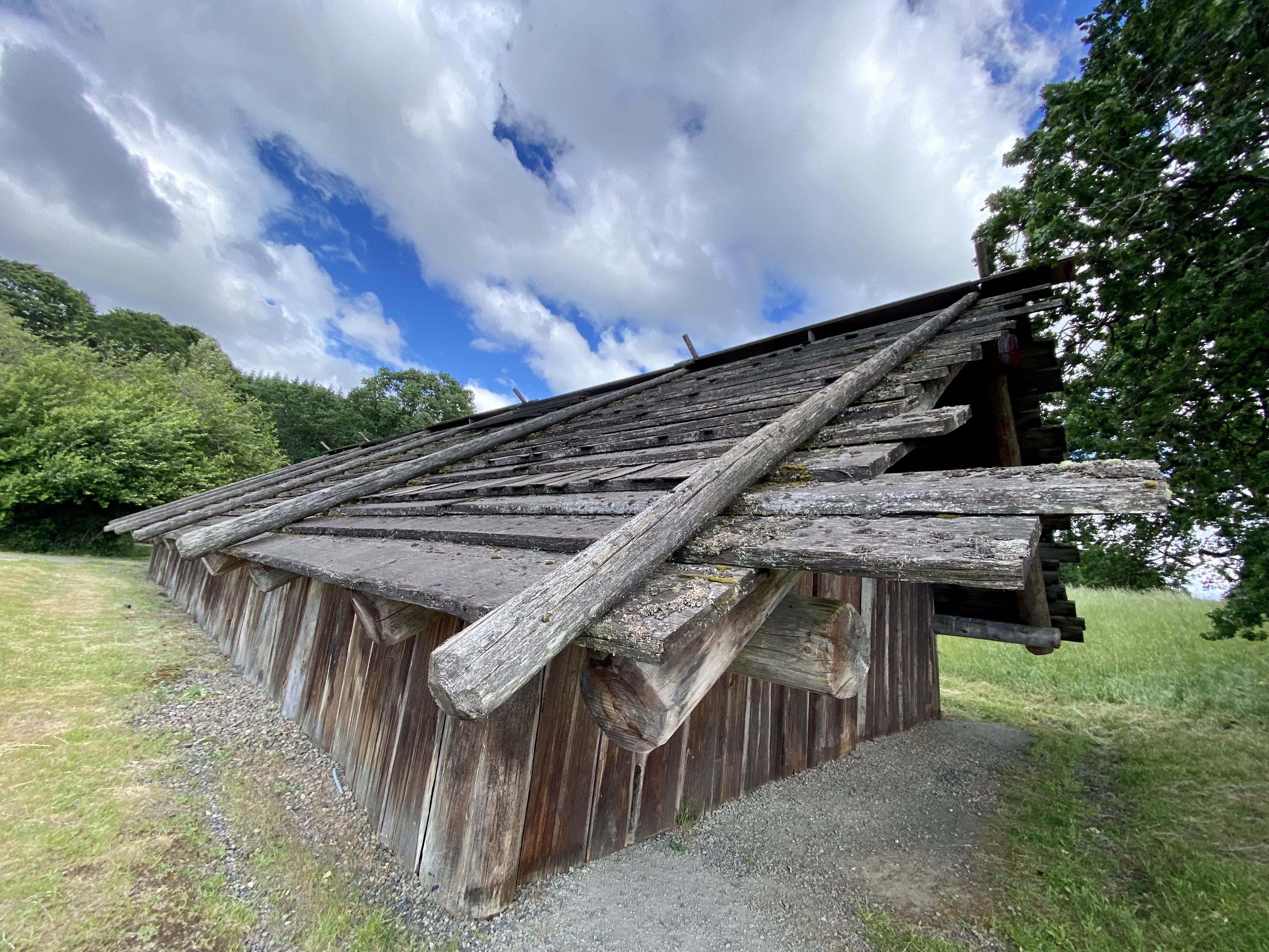
Dave somehow takes pictures like this.
We do a 1-mile loop in an area where the native white oaks - huge, beautiful trees - were being crowded out by Douglas Fir;
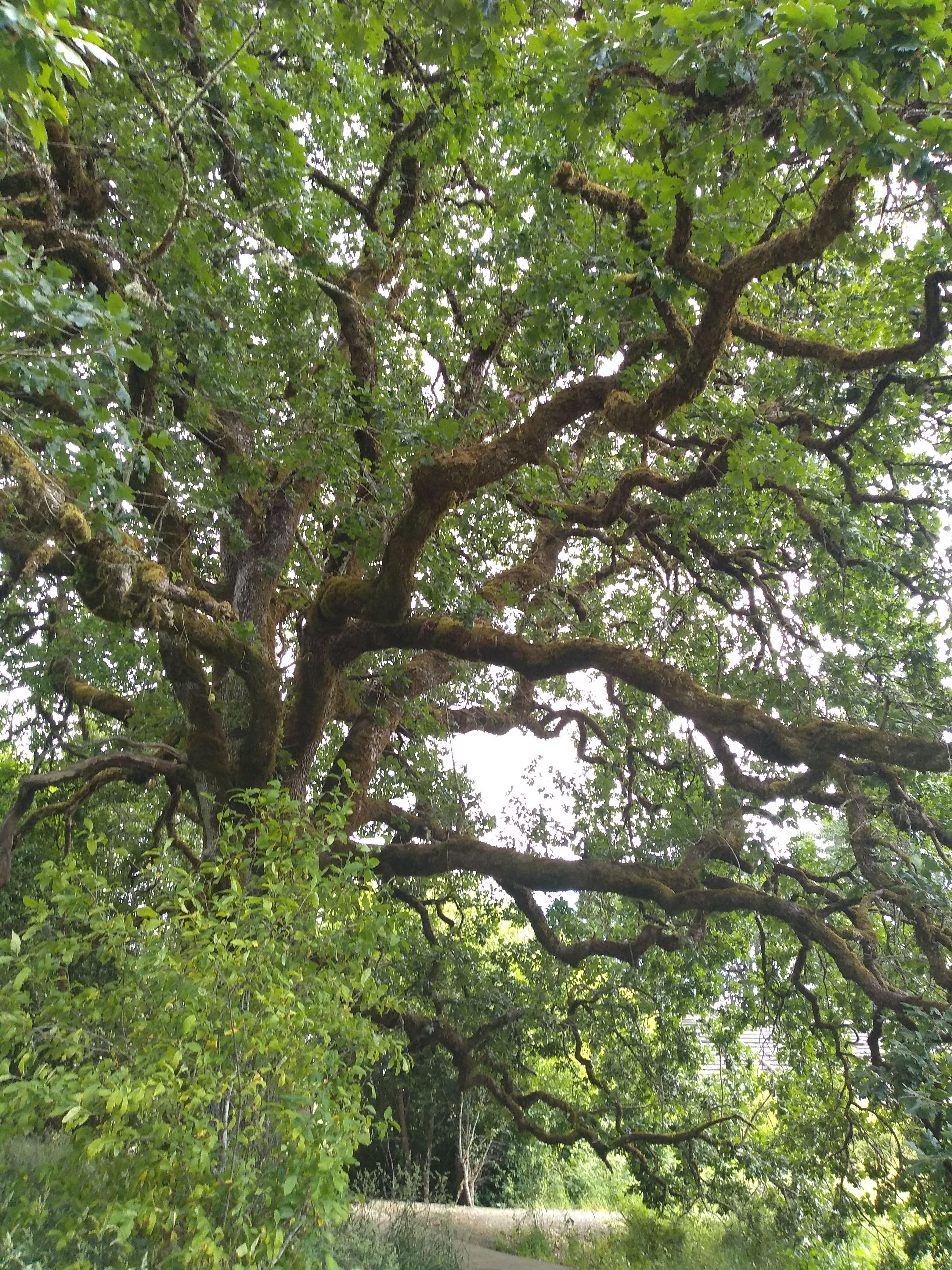
White Oak
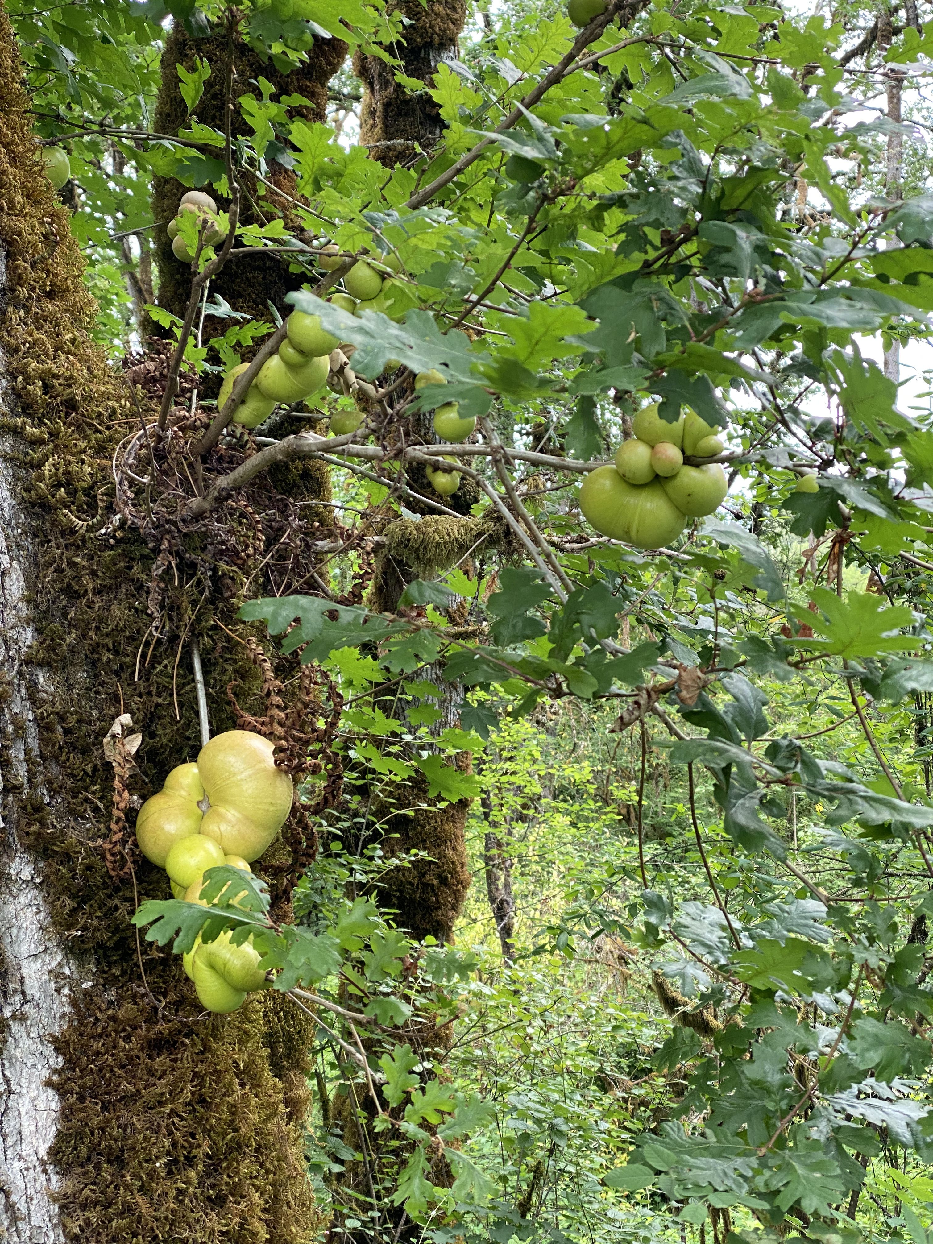
they're removing the latter. Many of the oaks have glossy green globules growing from their bark; at first these look like fruit but they're some kind of parasite.
We get take-out from the Guadalajara restaurant in Woodland and eat it on the back deck. I talk about the new PanoSETI project; Dave listens with keen interest and we discuss his possible involvement. Later, I tell the story of Chelsea's Piano at the Palace project.
Ron has been monitoring the weather forecast for MSH tomorrow. It looks fairly good: some rain, but not until 1 PM (this turns out not to be the case).
We feel pretty good about the day: with a lot of teamwork and persistence we overcame a major obstacle, and a big hike probably wouldn't have been that great since it rained on and off all day, sometimes heavily.
Sunday 6 June
We get up at 3:15 AM, have oatmeal, and pack up. Dave heats some curry lentil soup and puts it in a thermos. We're on the road at 4 AM. We pass a turnoff for Climber's Bivouac, the summer trail that (sadly) starts 1,000' higher than the one we're taking, which is called 'Worm Flows'. We reach the trailhead bit past 5. It's fairly light by now. The temp is around 40 and there's a light drizzle. A volunteer chats with us and gives us some beta about the trail.
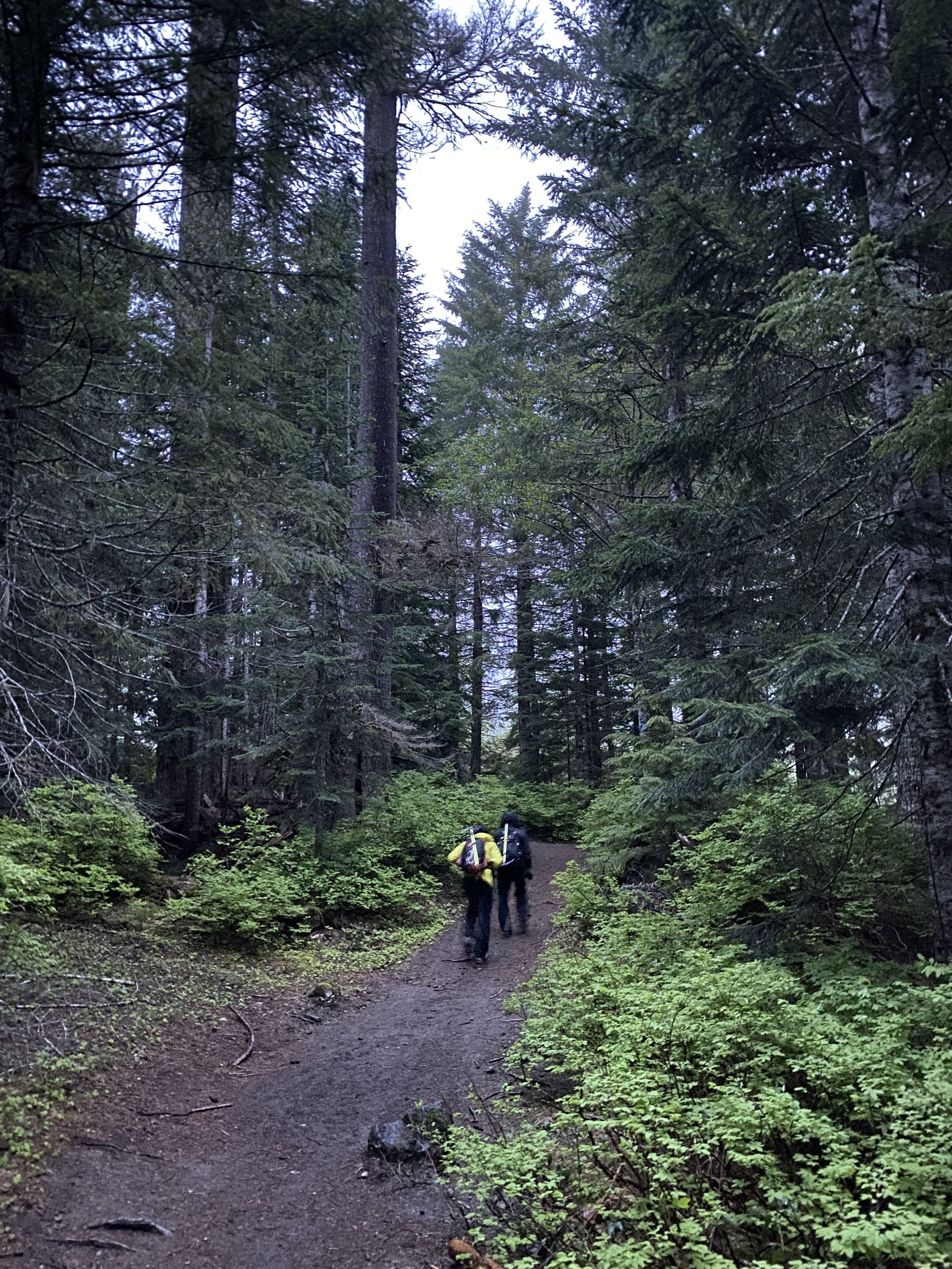
The first 2 miles are on a broad trail through a pine forest.
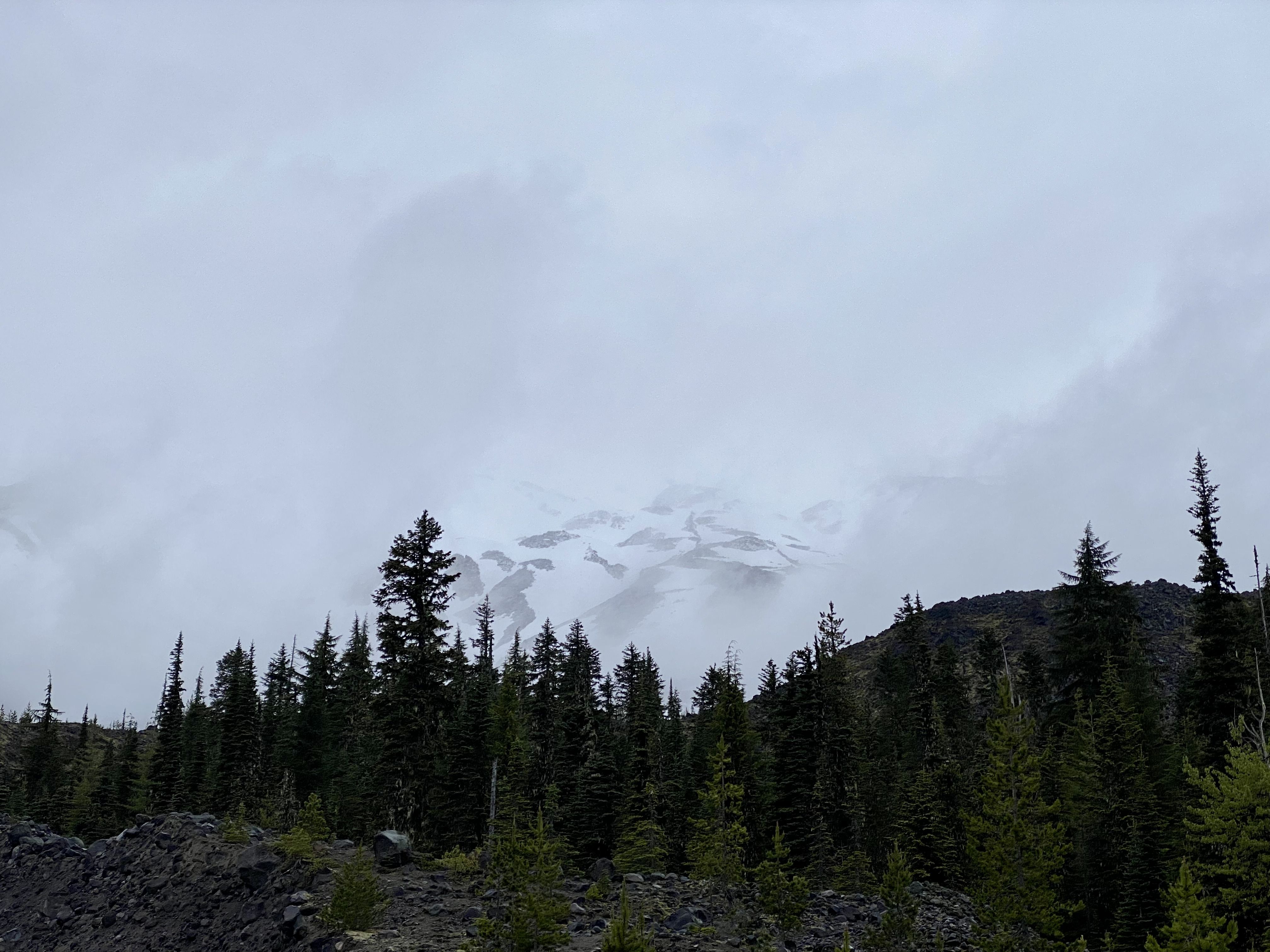
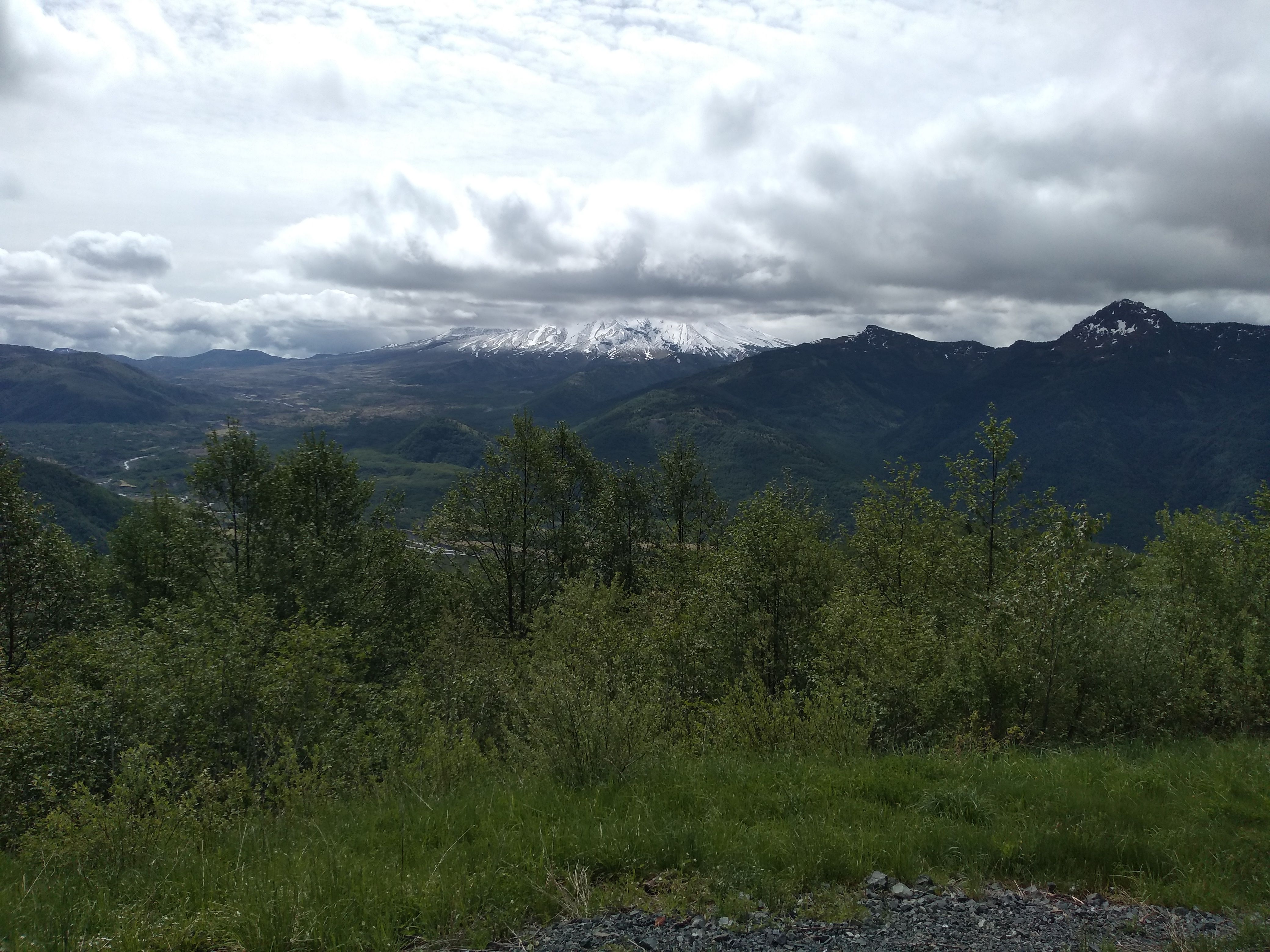
A glimpse of the lower mountain. I don't think we ever saw the summit.
The trail gradually steepens and narrows. Snow appears and the trail crosses patches of it. The trees thin out and a gully appears, carved out by a turbid stream. The trail moves up onto a ridge to the left of the gully. This ridge is one of many 'worm flows' - bands of basalt resulting from some long-ago eruption.
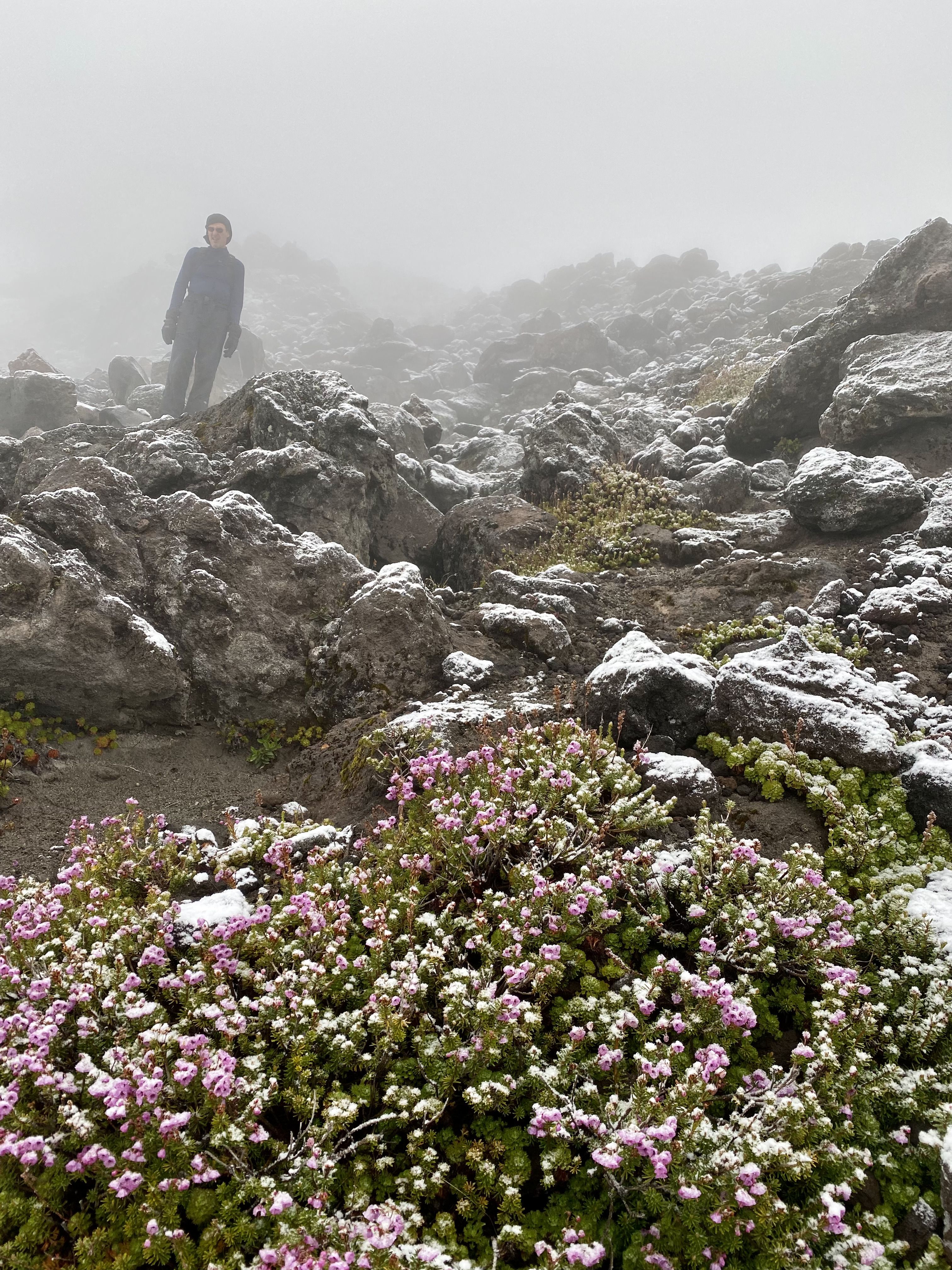
Great pic!
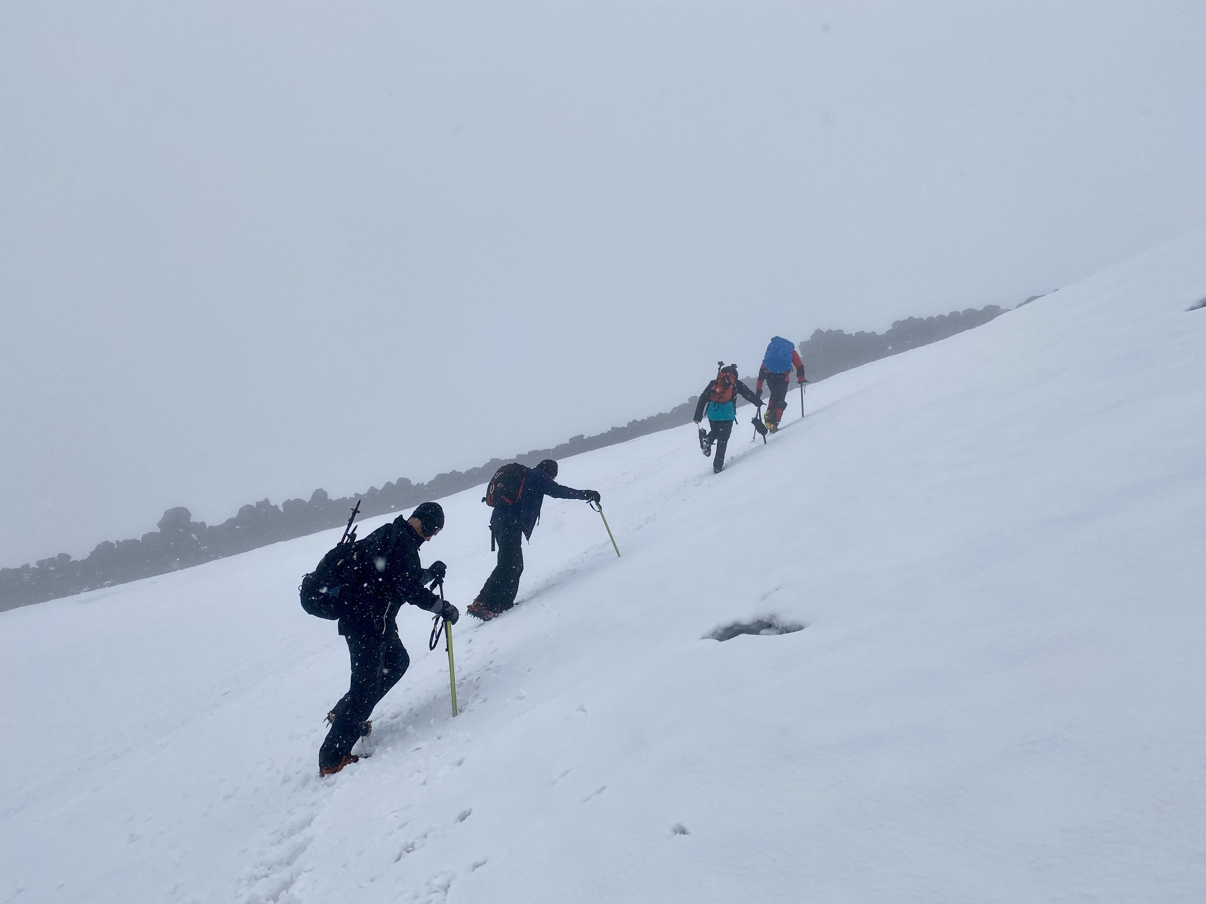
The trail (which is now a use trail, over and through a jumble of weathered boulders) continues for maybe 1,500' vertical. We pass 3 climbers from Venezuela; Dave asks them where the Starbucks is. The temp declines, and the rain turns to freezing rain, then wet snow.
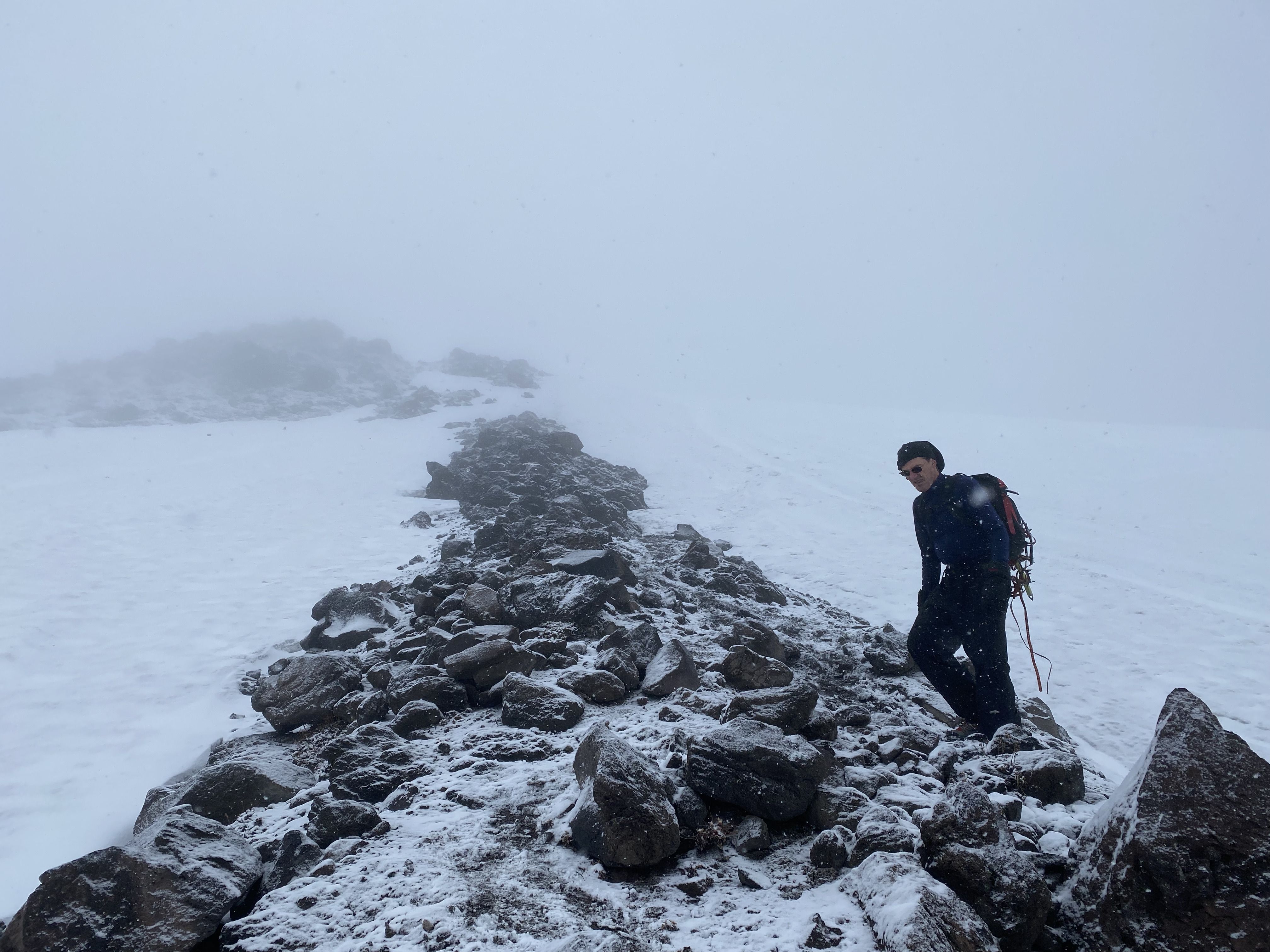
The ridge ends. We stop and put on crampons. My fingers become worryingly numb in the process, but they thaw out eventually. Ron and I have old-style steel crampons that work pretty well; Dave's are rented and require some readjustment.
Note pained expression
We ascend a series of snow slopes. At first the snow is crusty and hard, which is perfect for crampons. I get into a nice groove where I think of breathing as my primary activity, and the motion of my legs as subordinate to it. This makes it easy to keep going without pauses.
Dark areas are old/hard snow; white areas are new snow, on which crampons have less purchase
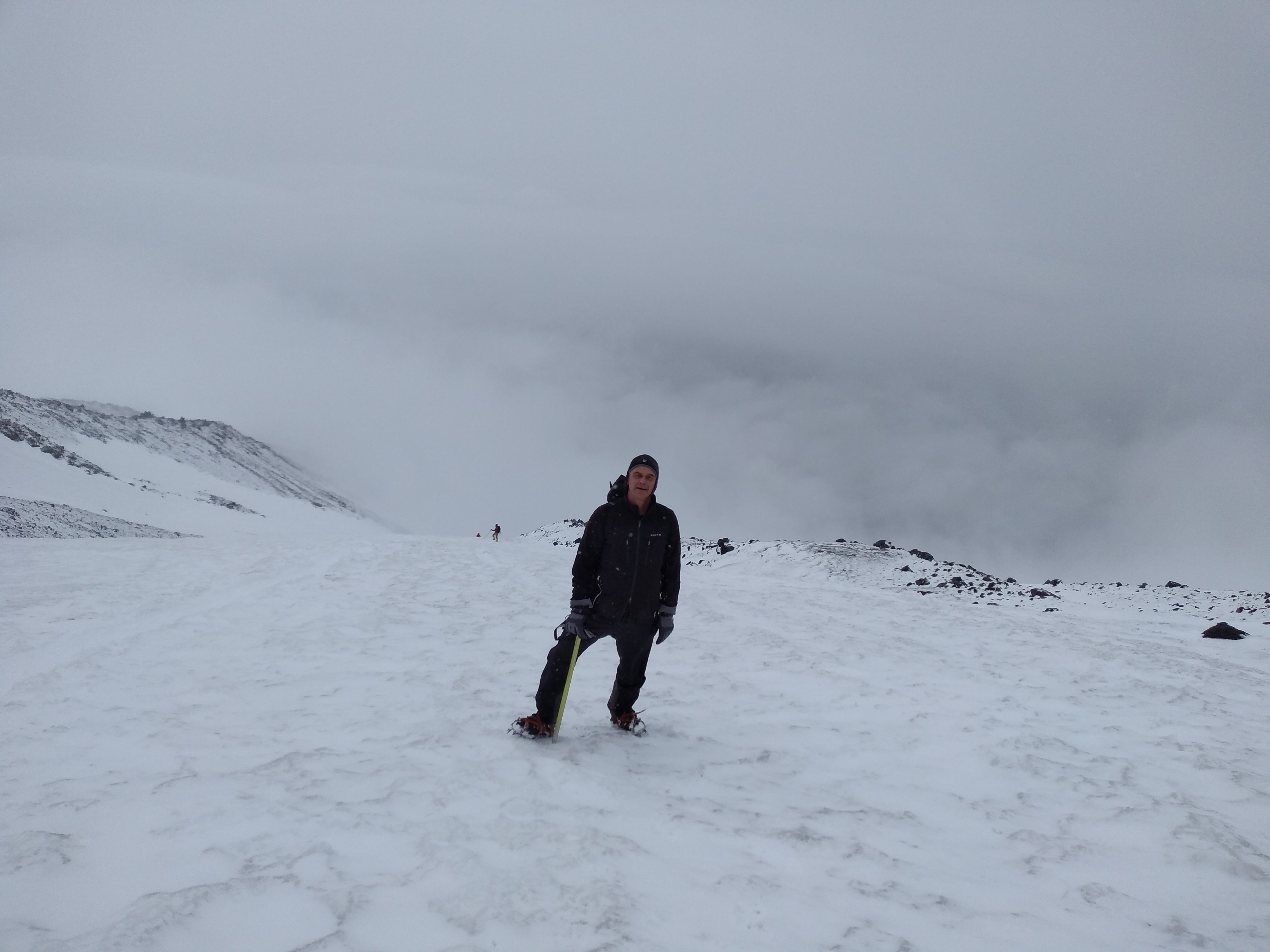
We gain 1,000' or so. It gets colder (mid 20s). The snow becomes drier, and new snow is accumulating on the slope. The crampons tend to slip on the new snow; crusty patches become harder to find.
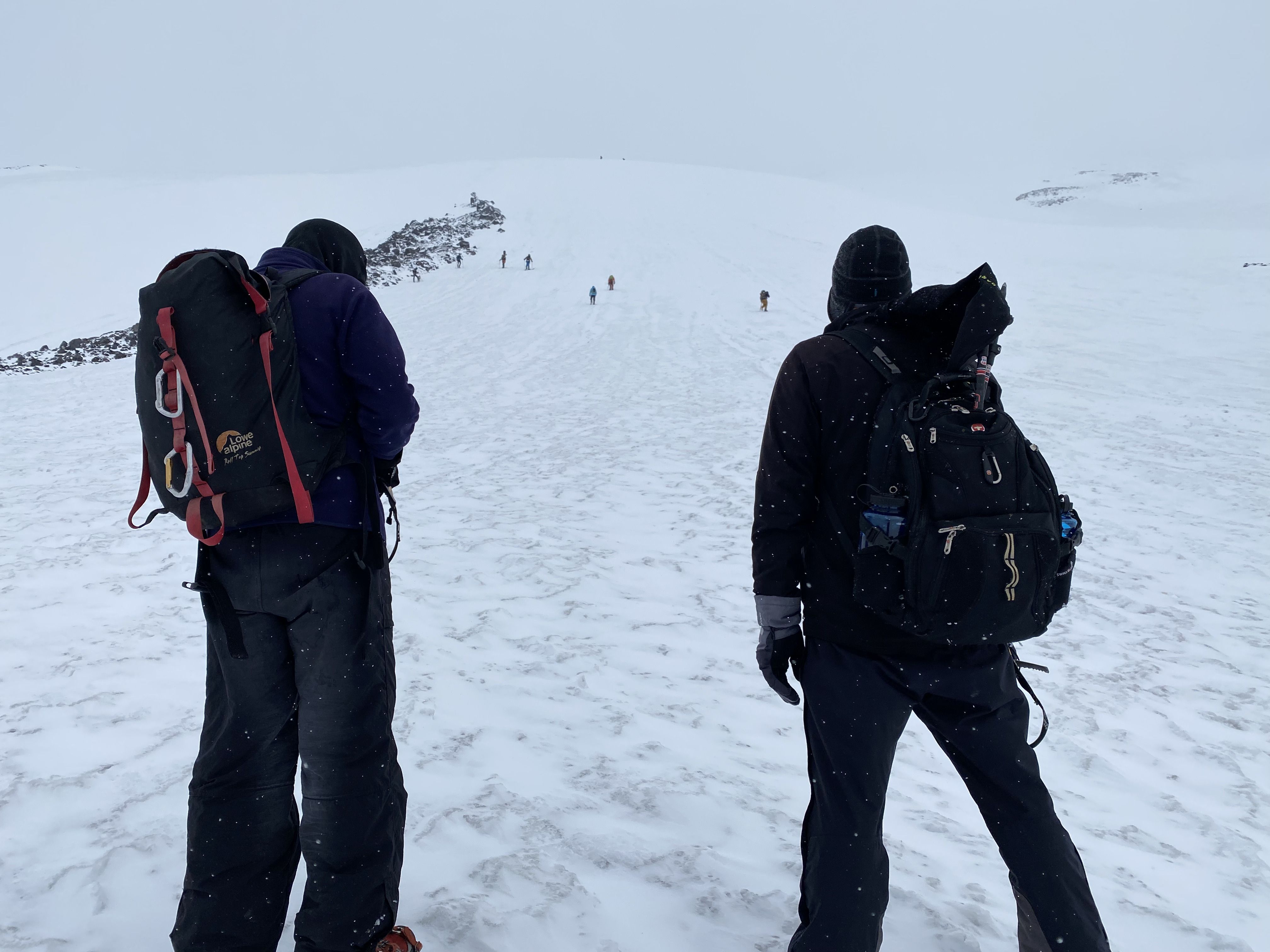
There are a fair number of other climbers on the mountain; we see 20 or so.
We stop for lunch and divide the (still piping hot) soup; it feels real good going down.
Ron, me, and 2 other climbers
We come to a snow field that's significantly steeper. The last 100' or so is steeper still, and we elect to avoid it by angling to the left. This leads into deeper snow.
I stop to adjust something and drop my left glove. It rolls down the slope, and keeps rolling; I never see it again. Fortunately Dave has an extra pair of mittens.
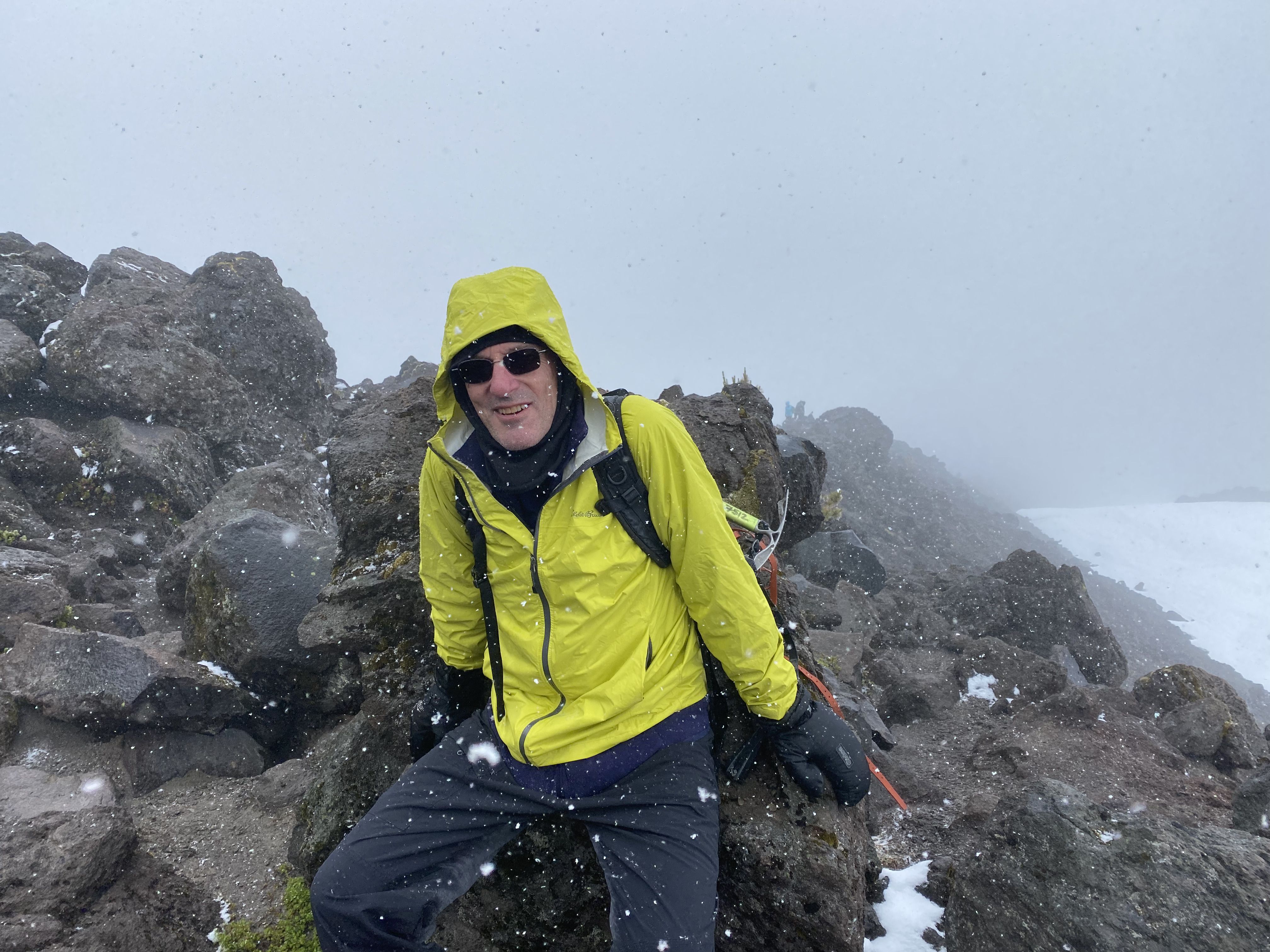
We continue up another 100 yards or so, to a band of rock, and take stock of the situation. The wind has gradually picked up (gusting to maybe 20 MPH) and that makes it seem colder. A layer of dark clouds obscures the summit; there would be no view from there. The decision to turn around is pretty clear-cut.
We head down. We don't try glissading, but the conditions are OK for walking on crampons; you can either do a combo heel plant / sidestep, or point straight down, which uses all the spikes.
We come to some rocks and have to decide whether to go left or right. Dave is navigating with the AllTrails app on his phone. He unknowingly creates a waypoint. We go to the left, which turns out to be the wrong way. As we descend, he assumes the waypoint is our current position, and it remains 10' away from the correct path, though actually we're moving away from it.
Another pair of climbers - Monica from Fairbanks, and her rugged-looking BF, both Google recruiters - latches on to us.
It becomes clear that we're in the wrong gully. There are no tracks. It's steeper than the way we came up. At one point I slip, go out of control, and slide downhill for about 100', part of it headfirst. I eventually manage to self-arrest; the snow is soft so I have to really dig in with the point of the ice ax.
The snow is now soft and sticky, and it keeps balling up under our crampons. We have to whack our crampons with the ice ax every few steps, creating a gamelan-like metallic din.
We reach a level spot. Dave has figured out the navigational problem. The gully we're in continues but seems to get a lot steeper. We realize that the correct path is a rocky ridge about 300' to our right, but to get there we need to traverse a very steep slope. The rugged-looking guy takes charge; we climb uphill about 100', then side-step across the slope, facing into it, kicking in steps with the toes of our crampons; he learned this (very useful) technique at a recent mountaineering class.
We reach the ridge, breathe a big sigh of relief, and take off our crampons.
The hike back down is uneventful. Ron's right quad kind of gives out and he walks with difficulty. My legs are OK, but my lower back (which has been bothering me) tightens up and is quite sore. We pass the Venezuelans, who didn't get very high. One of them graciously ties up my dangling crampon straps.
We reach the treeline. Dave needs to go #2, and instead of using the 'blue bag' he elects to descend quickly and use the facilities at the trailhead.
Ron and I chat briefly with a couple: a tall guy in camo and a woman who seems to be in a little distress.
The last couple of miles - as usual - seem to last forever. We talk about various things, including Joe Walsh and Meow Wolf.
We finally reach the car. Dave has been there 30 min already. It feels real good to sit down. My upper body is pretty dry (thanks the the rain jacket that Dave loaned me) but everything else is soaked. But I'm not cold.
We drive back to Woodland and play a few rounds of Vermicelli. I use 'babganoush', Dave uses the questionable 'meat pie'.
Woodland has few dinner options. Mali Thai is open for take-out only. We end up eating burgers at the Fat Moose Grill, which is OK. I slightly engage with the weathered-looking waitress, and retell the story of the embittered women of Bridgeport.
Dave has 2 beers so I drive home.
Back at the rental, we chat with Tim, who is a bit incredulous that we made it nearly to the summit. I use the sauna, which is barely warm enough for me to break a sweat.
Monday 7 June
Dave reveals his new project: to write an epic poem based on Edward Weston, a notable pedestrian who in 1909, at the age of 70, walked from NYC to SF in 100.5 days - and then back in 95. Dave also introduces us to the Australian phrase "map of Tassy" (i.e. Tasmania) which has a vulgar significance.
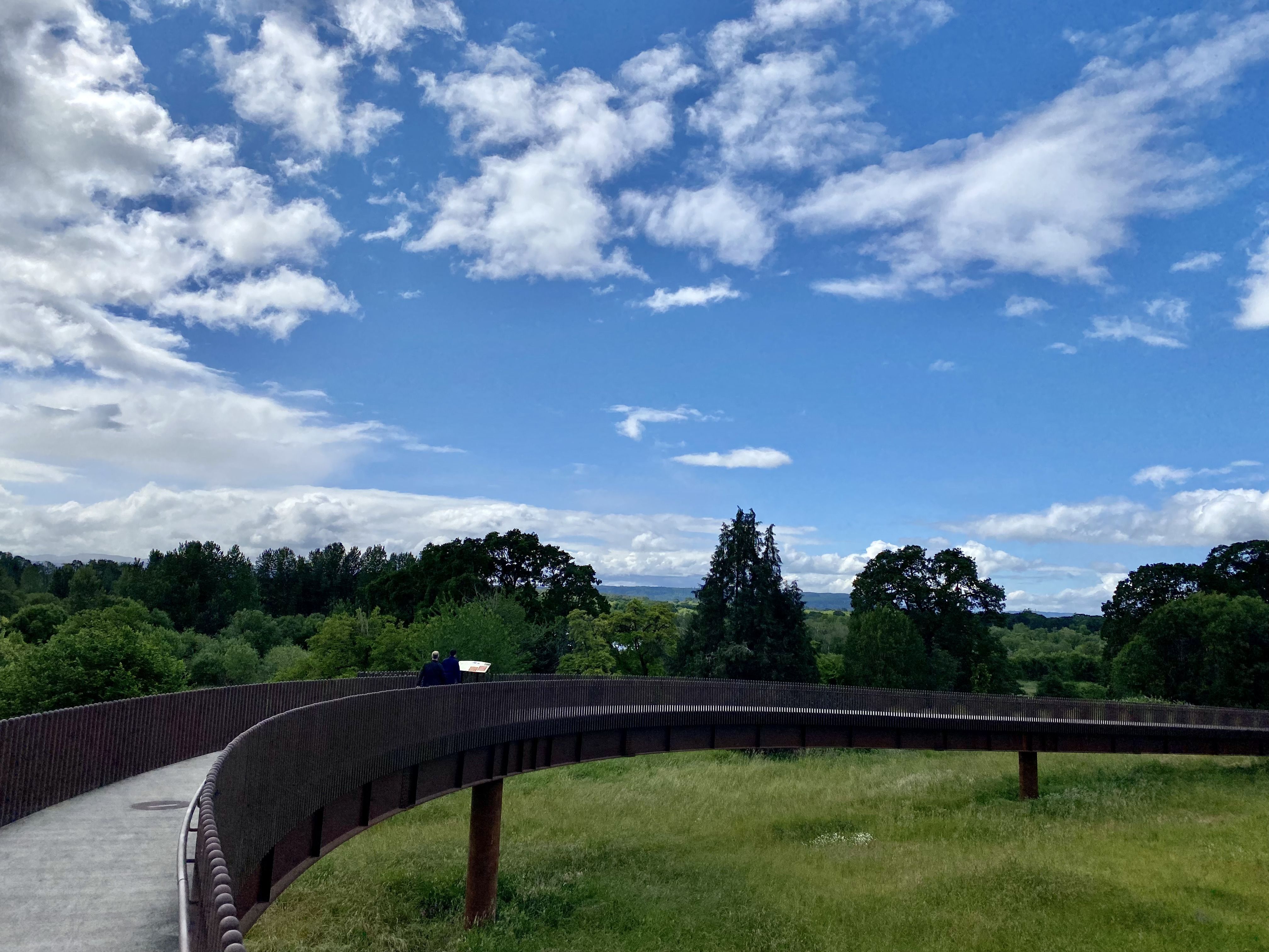
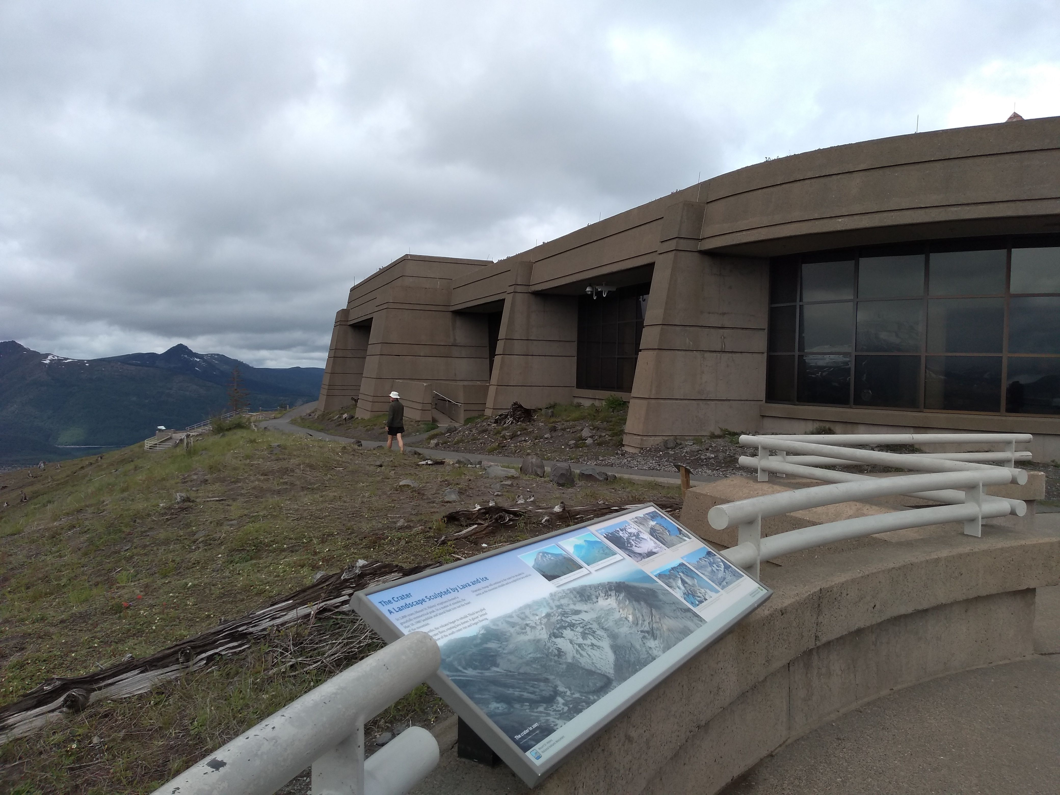
We pack up, check out, get in the car, and drive to Johnson Ridge, an observation station on the edge of the 'blast zone' on the N side of the mountain.
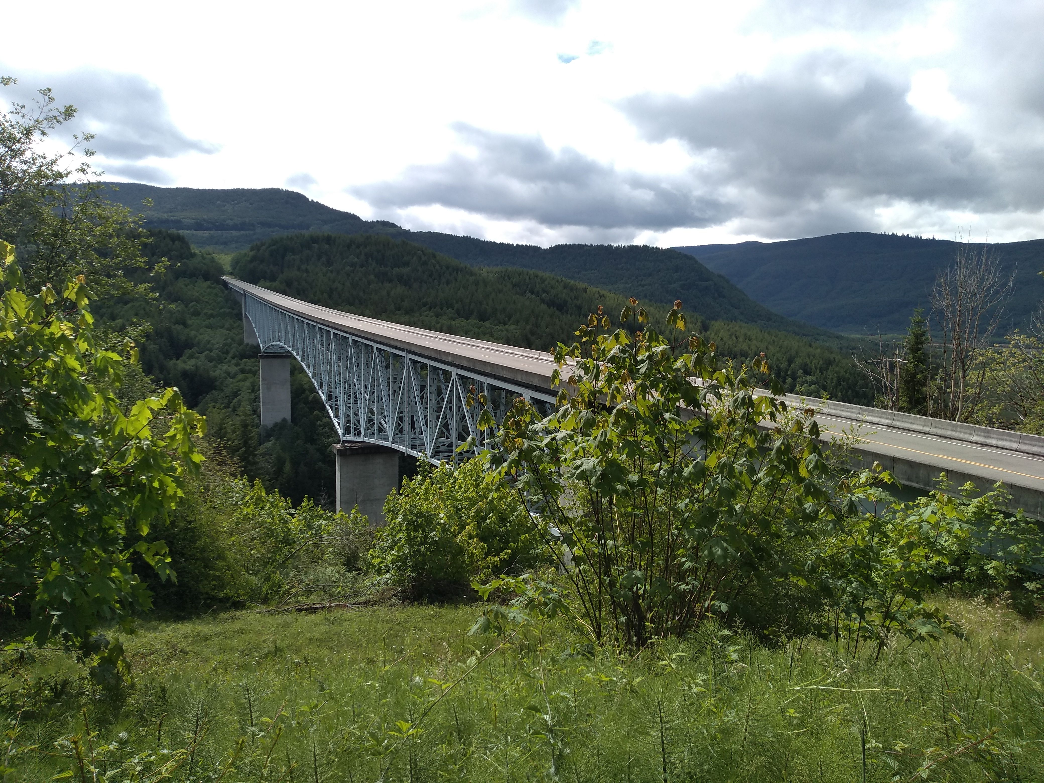
A lot of new bridges; the old ones were wiped out
The station is built like a bomb shelter, perhaps anticipating a future eruption.
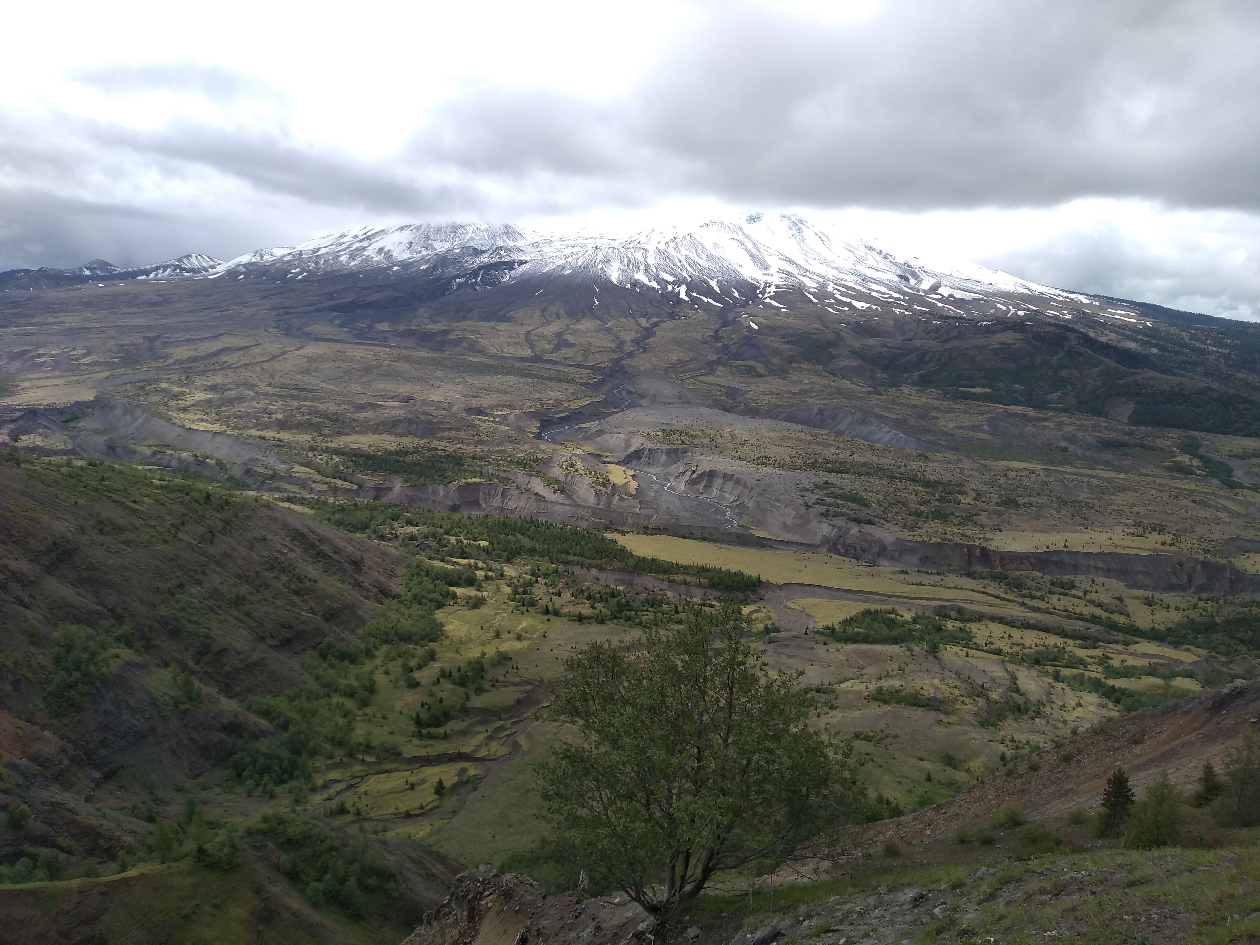
The left side of the mountain was blasted away. At the base of the mountain a thick layer of ash is being carved up by streams.
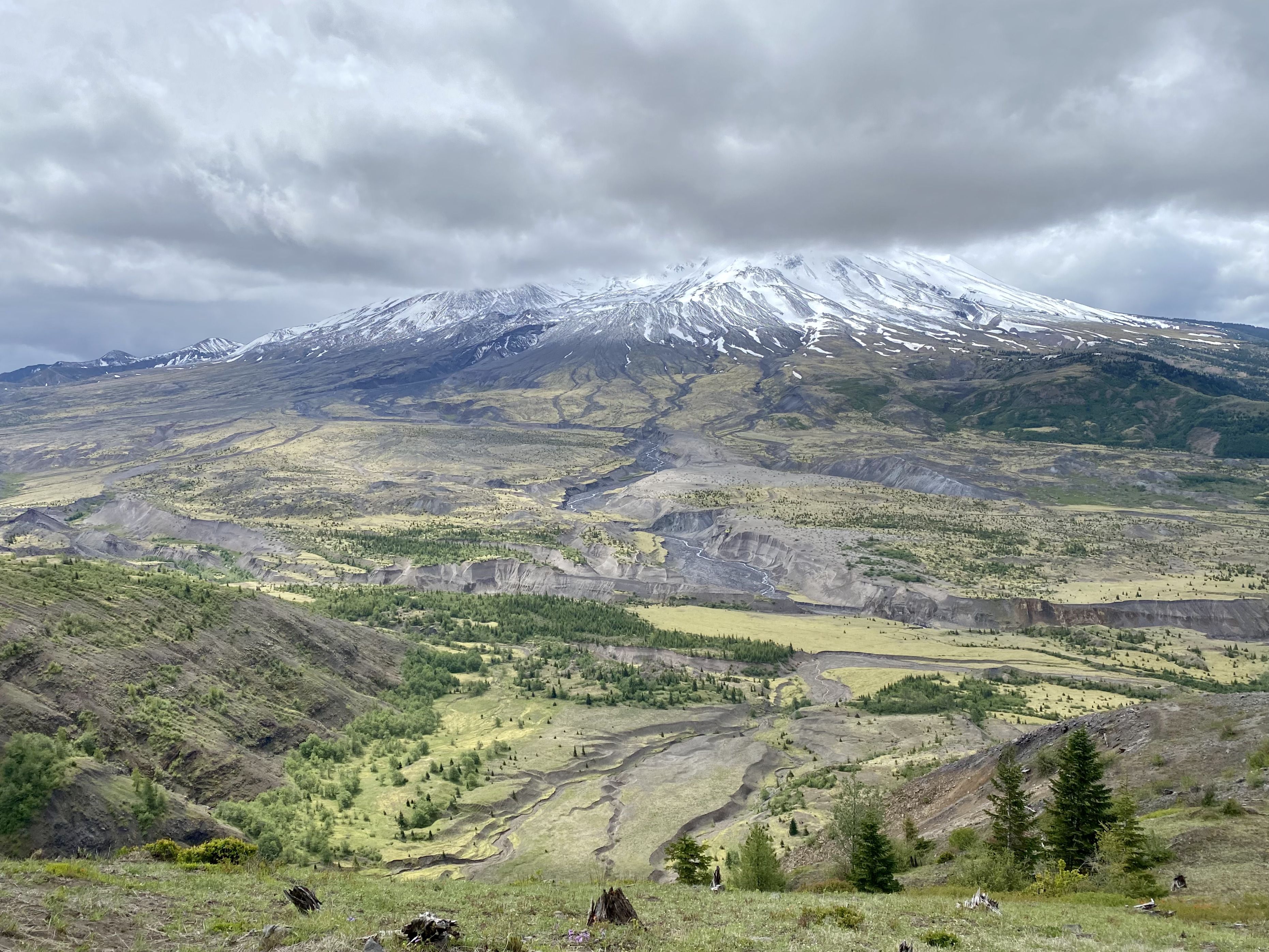
Dave's version; better color
We go for a short walk and discuss satellite Internet and the theory of musical dissonance. Ron has many ideas about Dave's epic poem project.
We drive back to I-5, and to SeaTac. I'm a little worried about time, but traffic is generally we good and we get there in time. We discuss possible trips for next year; the Southwest seems to be popular.
Summary
Excellent trip. We enjoyed each other's company, we caught up, we had adventures, and we created memories. It don't get no better than this.
The climb was 5,300' vertical, which is 2nd most I've ever done in a day (Whitney, 20 years ago, was 6,000'). And I gotta say: I had plenty of energy left over. I had some soreness afterward: back, hip flexors, and feet. But this went away in a day or two. I'm extremely grateful that I'm able to do this kind of stuff at my age (65). I'm acutely aware that this will not always be the case.