Utah National Parks Tour
April 17-24, 2016 |
random trip report |
[Click images for large version and again for full resolution]
Sun April 17
My hiking poles won't fit in my carry-on, so I need a medium-sized suitcase. There's one in Erica's basement. It's covered with rat droppings from an infestation last year; I clean it well, but there's still a peculiar musty smell.
I meet Y in the Las Vegas airport, after her long journey from the International Terminal. She comments on the suitcase smell, which now has the character of fermented varietal rat urine.
We take the shuttle to the car rental center. At the Thrifty counter I'm told that my reservation - through rentalcars.com - can't be honored because it has me as a European, invalidating the insurance coverage (which I don't need anyway). Nothing can be done. I call the agency (in England) and cancel the reservation, and pay Thrifty's list price ($540 vs $250). Grrr. But at least we get a full-size car. We consider Hyundai Sonata and Nissan Altima, and choose the latter because it has a CD player.
The suitcase is getting worse - we move it 10 or 15 feet away. It's clear that I won't be able to bring it into motel rooms. Y gets on her phone and locates a Target on the way out of town.
Getting out of Las Vegas does not go smoothly. My GPS doesn't seem to have up to date info. We arrive at the Target. The cheapest option is $62 and comes with 3 bonus pieces. I pick the zebra-stripe option, and transfer my belongings to it. We drive around to the back, where there are several dumpsters. I heave the reeking rat-excrement-laced abomination into one of these, and feel that a huge weight is off my chest.
We drive ~2.5 hours to Springdale, a little cluster of motels and businesses near the Zion park entrance, with towering red sandstone cliffs on either side. We're staying at the Quality Inn, which also has a large campground/RV park. The large Mormon-ish guy at the desk touts their breakfast. The room has one of those very loud heating/cooling units.
We get veggie pizza and beer at Zion Pizza and Noodle. The pizza is unusual; the crust is slightly cookie-like and has heart-shaped pieces.
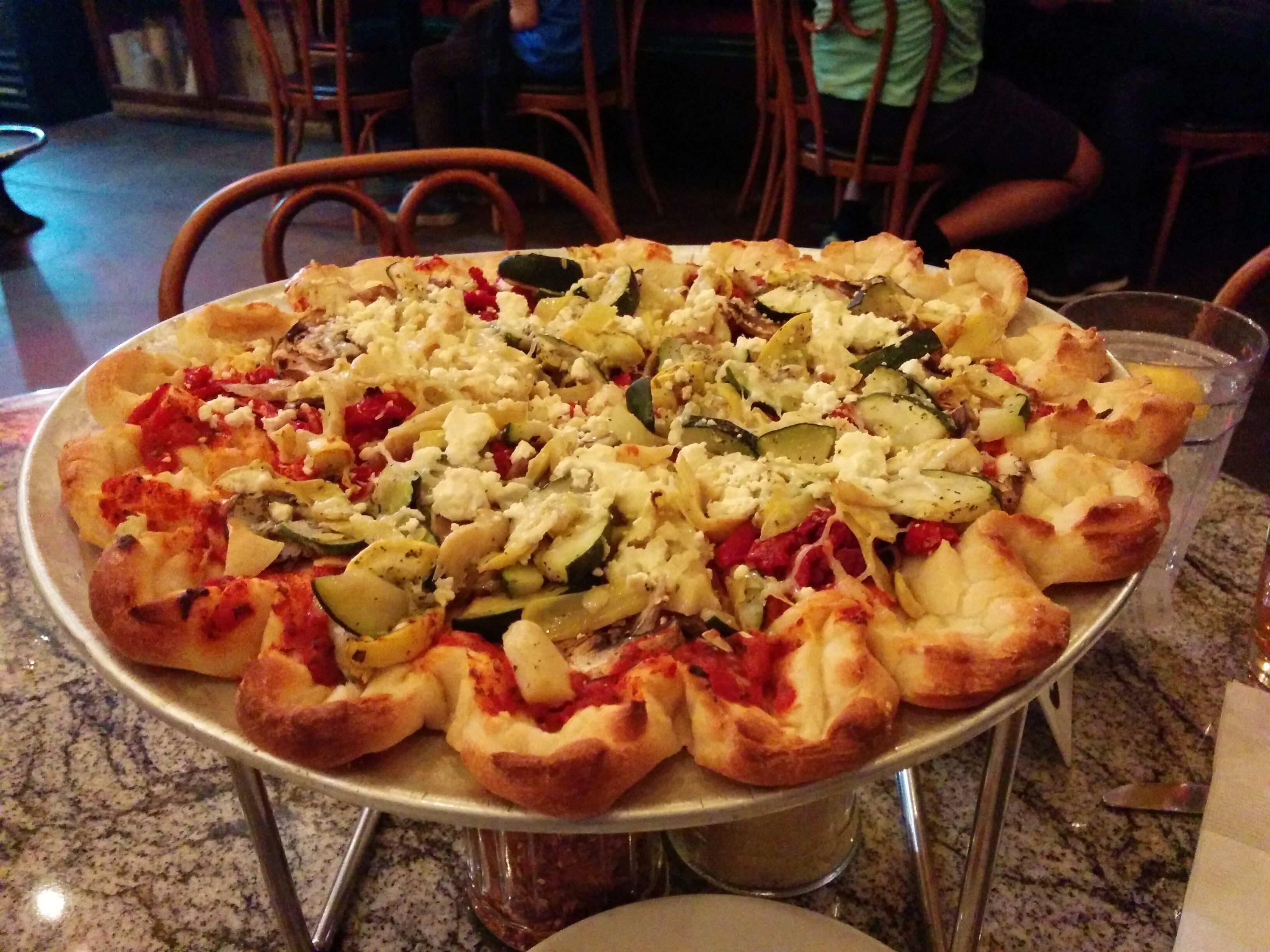
Photo credit: Y
Y is completely smitten with it. She recalls a scene from the book "Eat Pray Love" where the author eats a pizza so good, she's convinced it "loves her back".
We tour the campground and go down to the river. The moonlit river is a beautiful black and white tableau. One group is traveling in two classic VW vans with trailers, and there's quite a party scene under their festively-lit canopy.
Monday April 18
D has near-zero sleep night. Y is an accomplished and unfazed sleeper. The supposedly great breakfast is lame.
We walk ~10 min. to the park entrance. It's "National Parks Week" so they're all free - woo hoo!
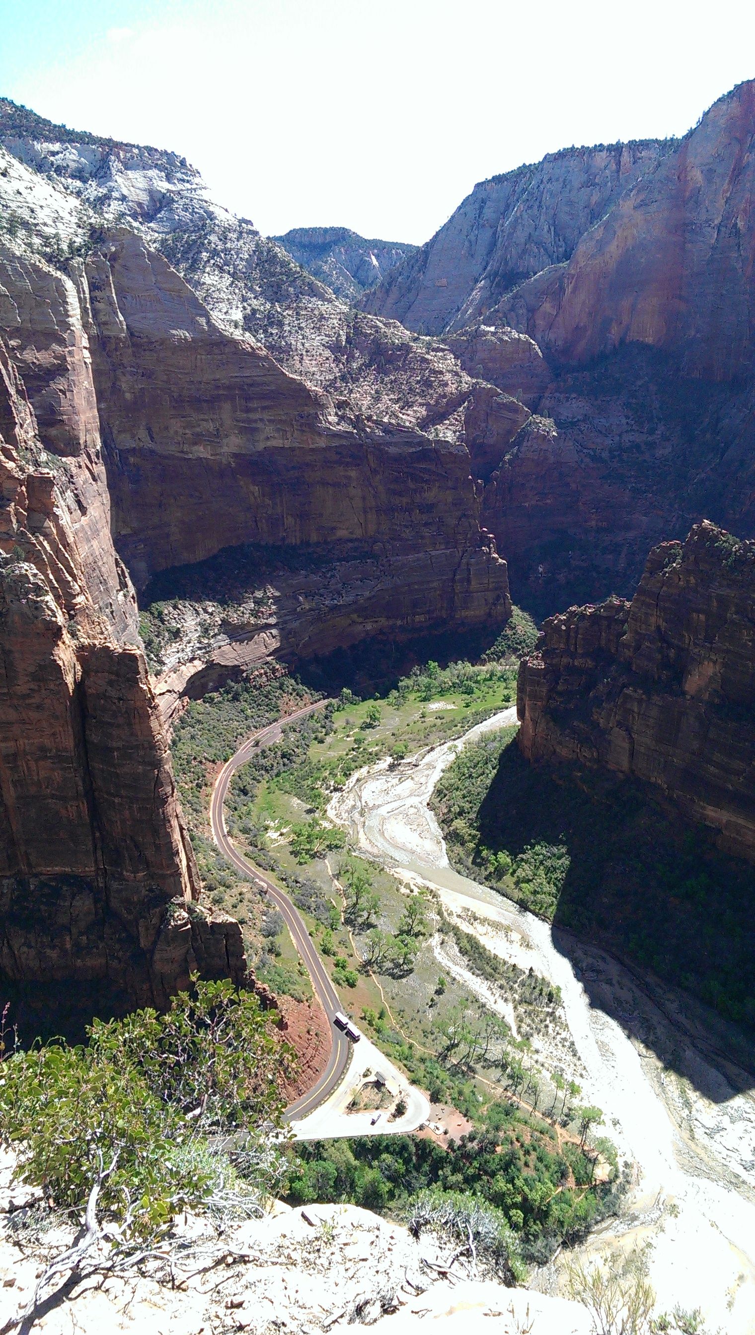
The park has shuttle buses and no cars, which is great. It's similar to Yosemite Valley in some ways - a fairly narrow flat valley floor with multi-1000' cliffs on either side - except that the rock is red sandstone instead of gray granite. The valley was formed by water erosion, and the rock faces are scored with diagonal stripes that I guess show the slope of the river at that time.
We take the shuttle to the Grotto stop and get on the trail to Angel's Landing, which supposedly is a must-do.
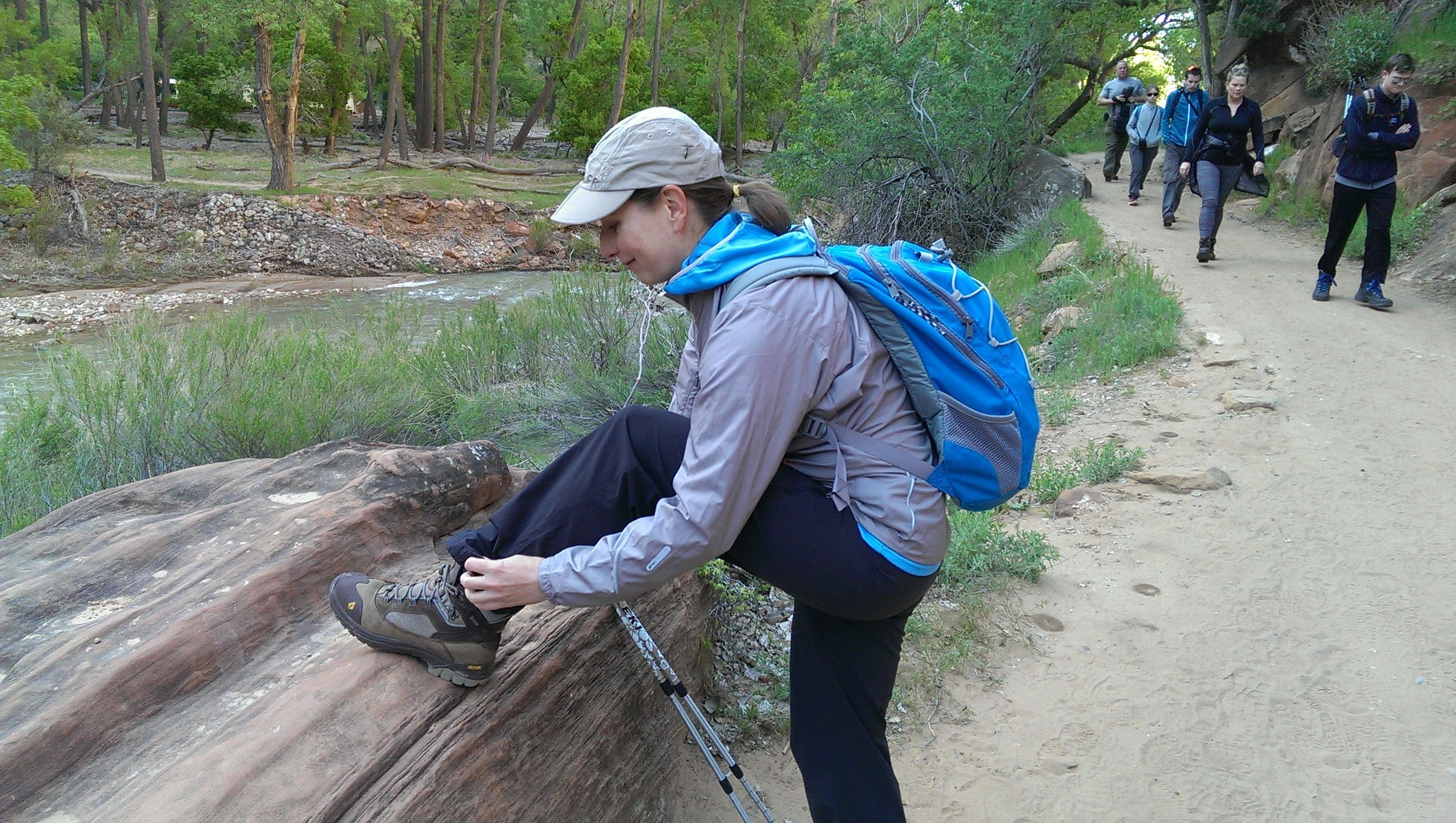
The trail is paved with concrete most of the way and has a lot of traffic. There's a set of very short/steep switchbacks called "the wiggles",
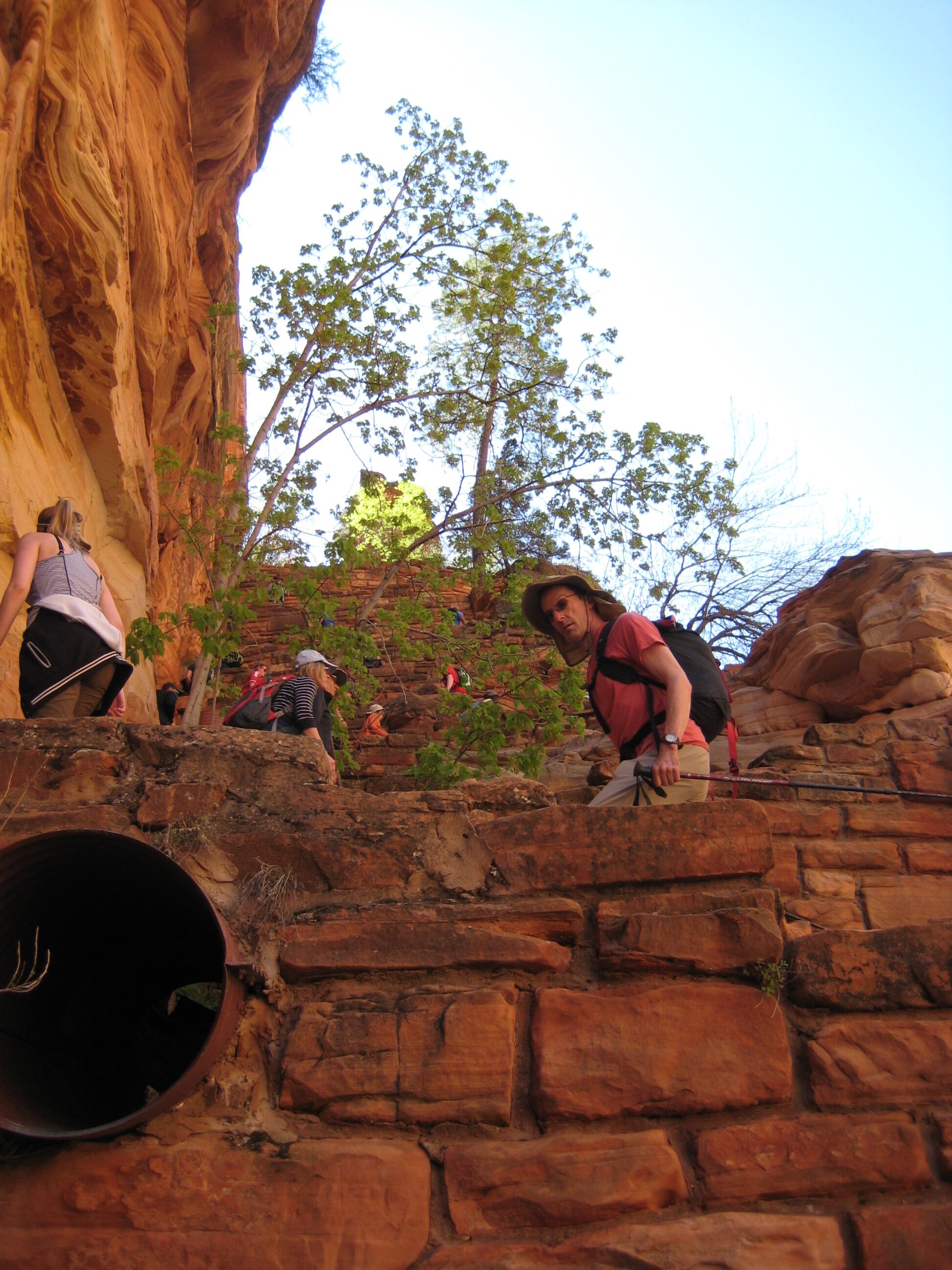
Photo credit: Y
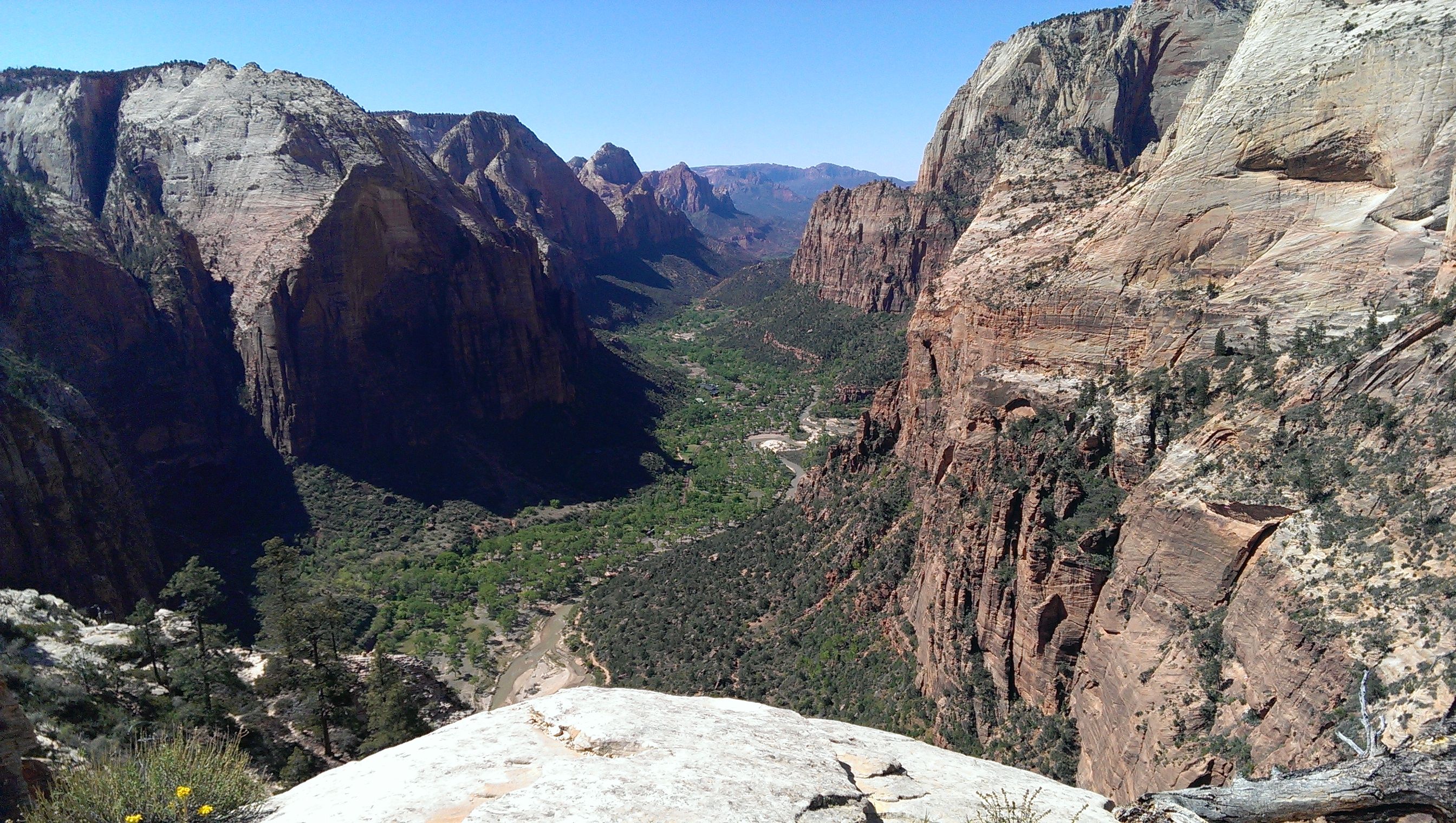
followed by a saddle, then a steep ridge going up to the top.
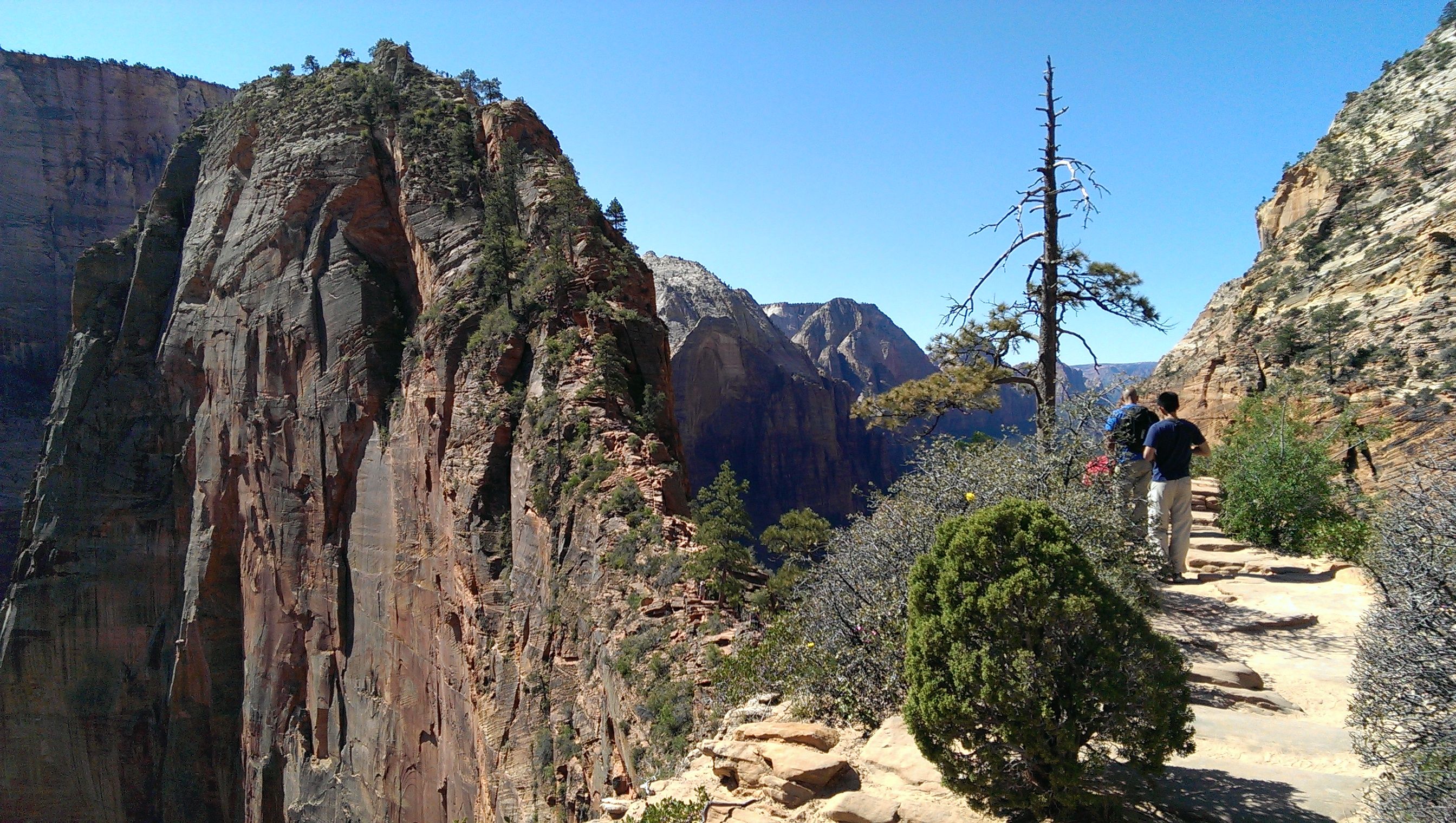
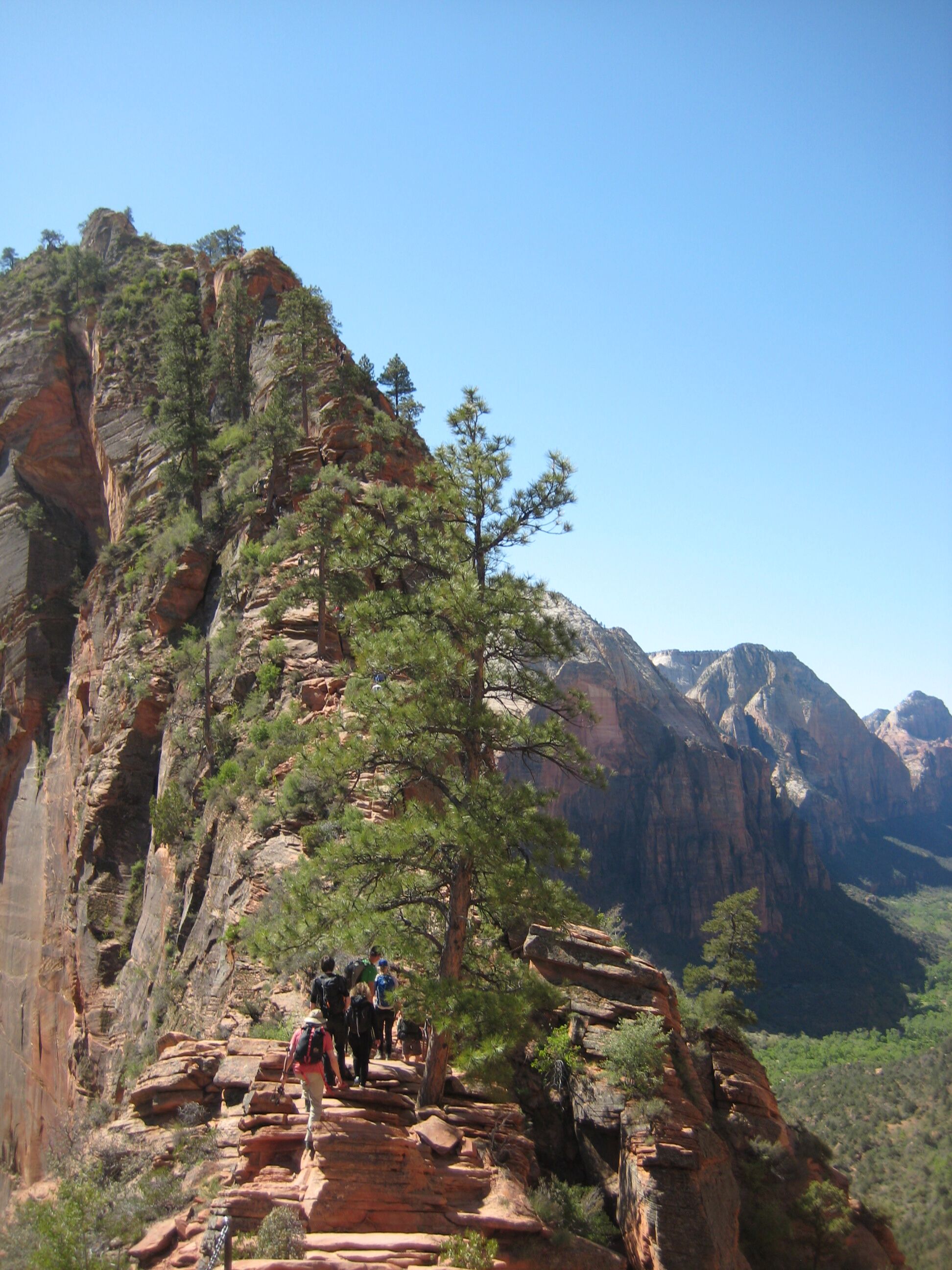
Photo credit: Y
The ridge has steep drop-offs (1,000') and there's a chain along the wall. A lot of people are freaked out and cling to the chain. This makes things worse because they're leaning over. It's better just to trust your balance. I avoid touching the chains at all. Some people are ultra-slow; I zip around them impatiently.
The top has a nice view. We snack, D whacks some nosy picas, and we descend. D gives sunscreen to a young man who says his father saved a woman's life at the top.
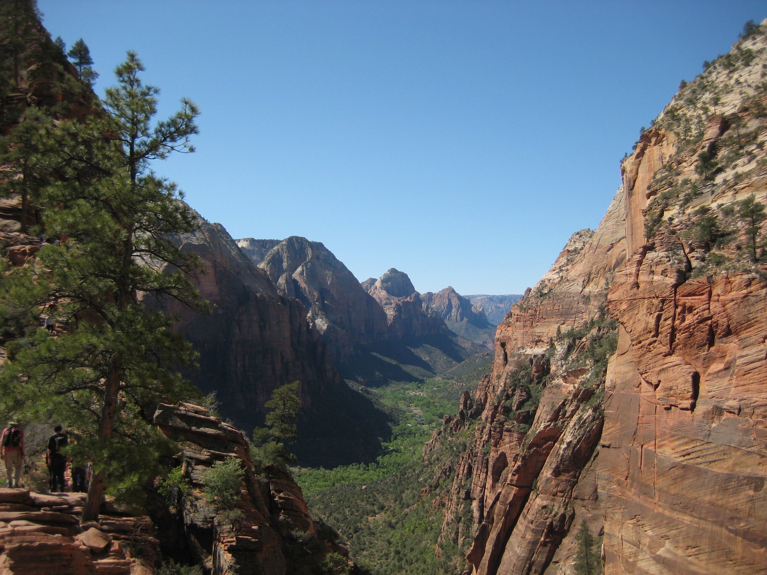
Photo credit: Y
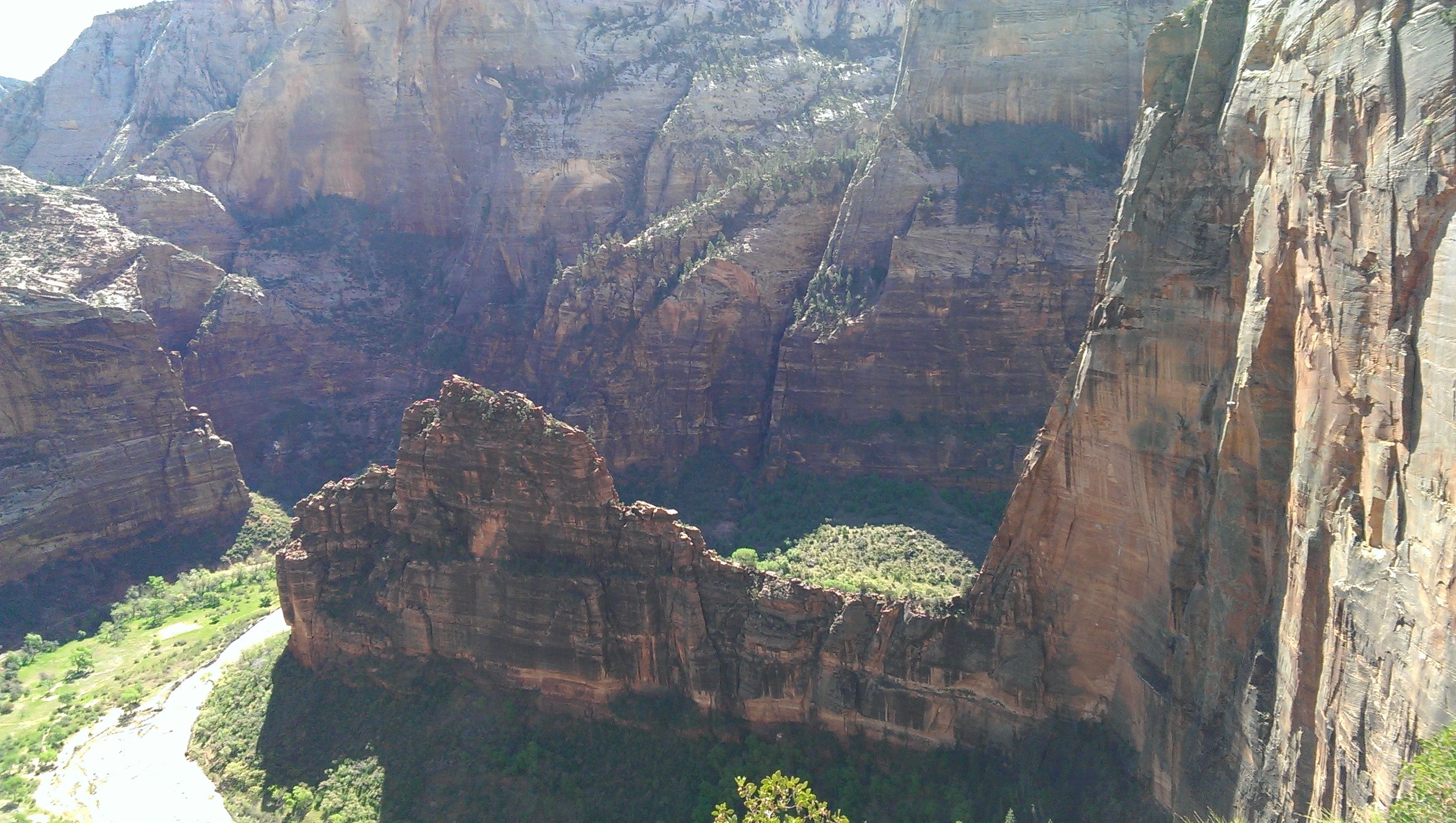
People are gawking at a pair of rock climbers descending a cliff along the way.
Despite its fame, Y gives the trail a "don't do" rating. Crowded, slow, and the view is only okay.
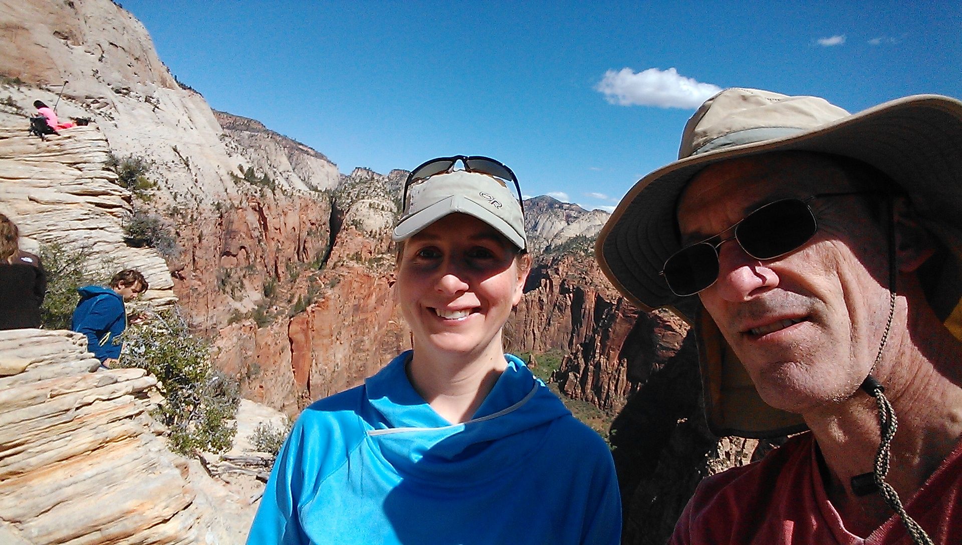
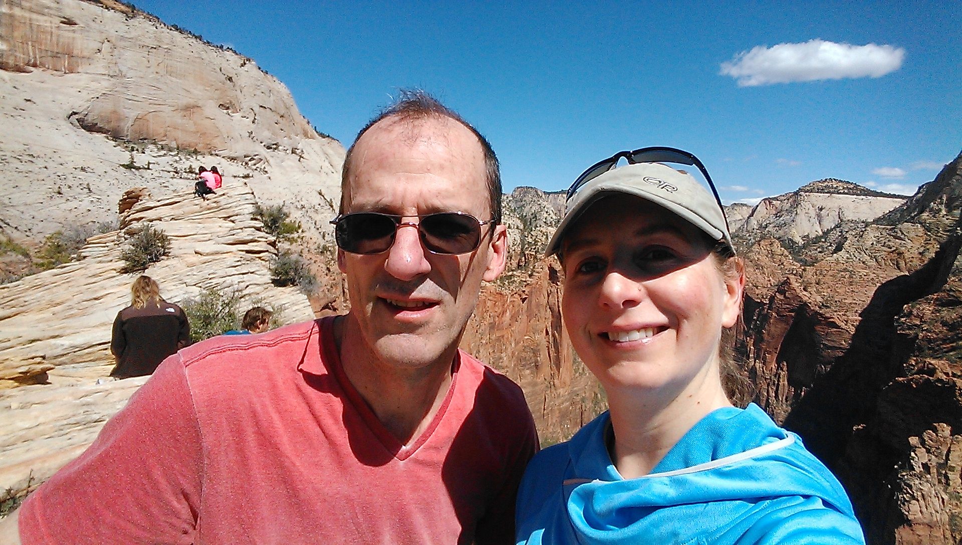
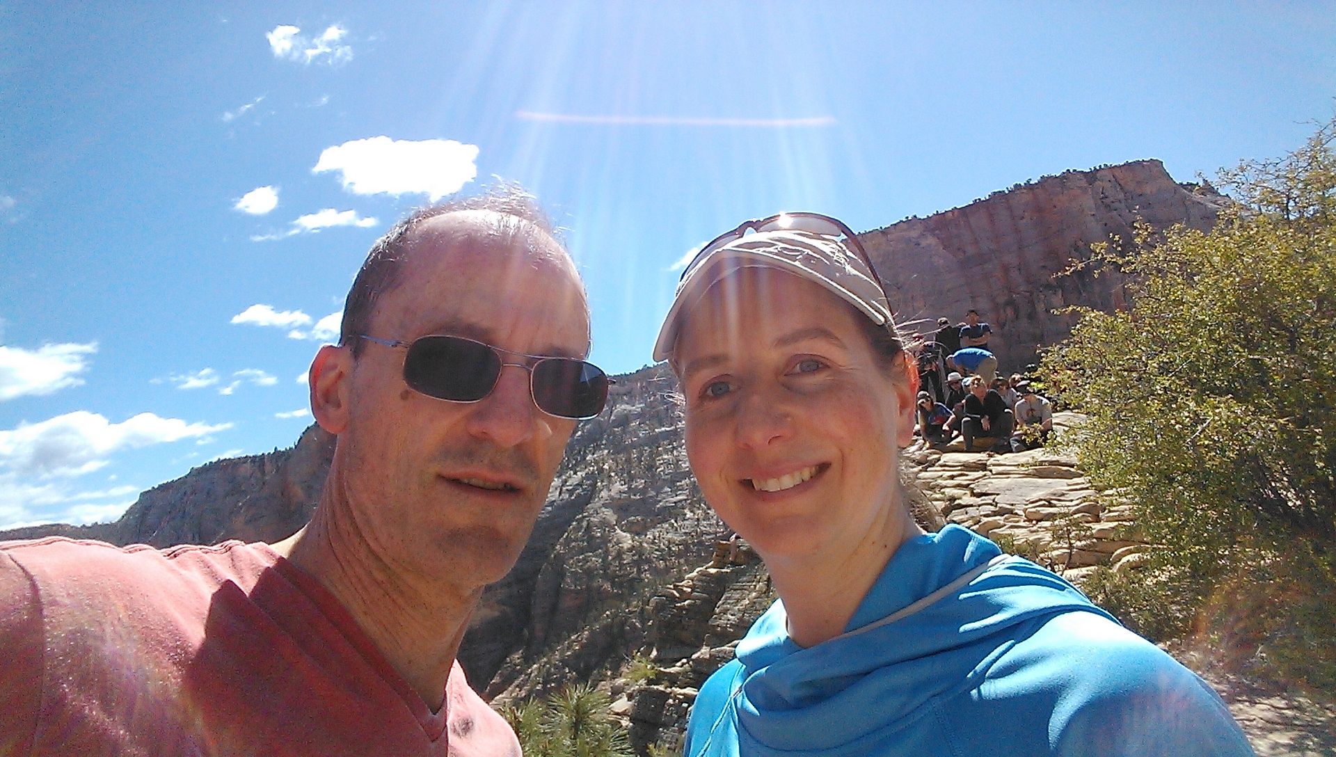
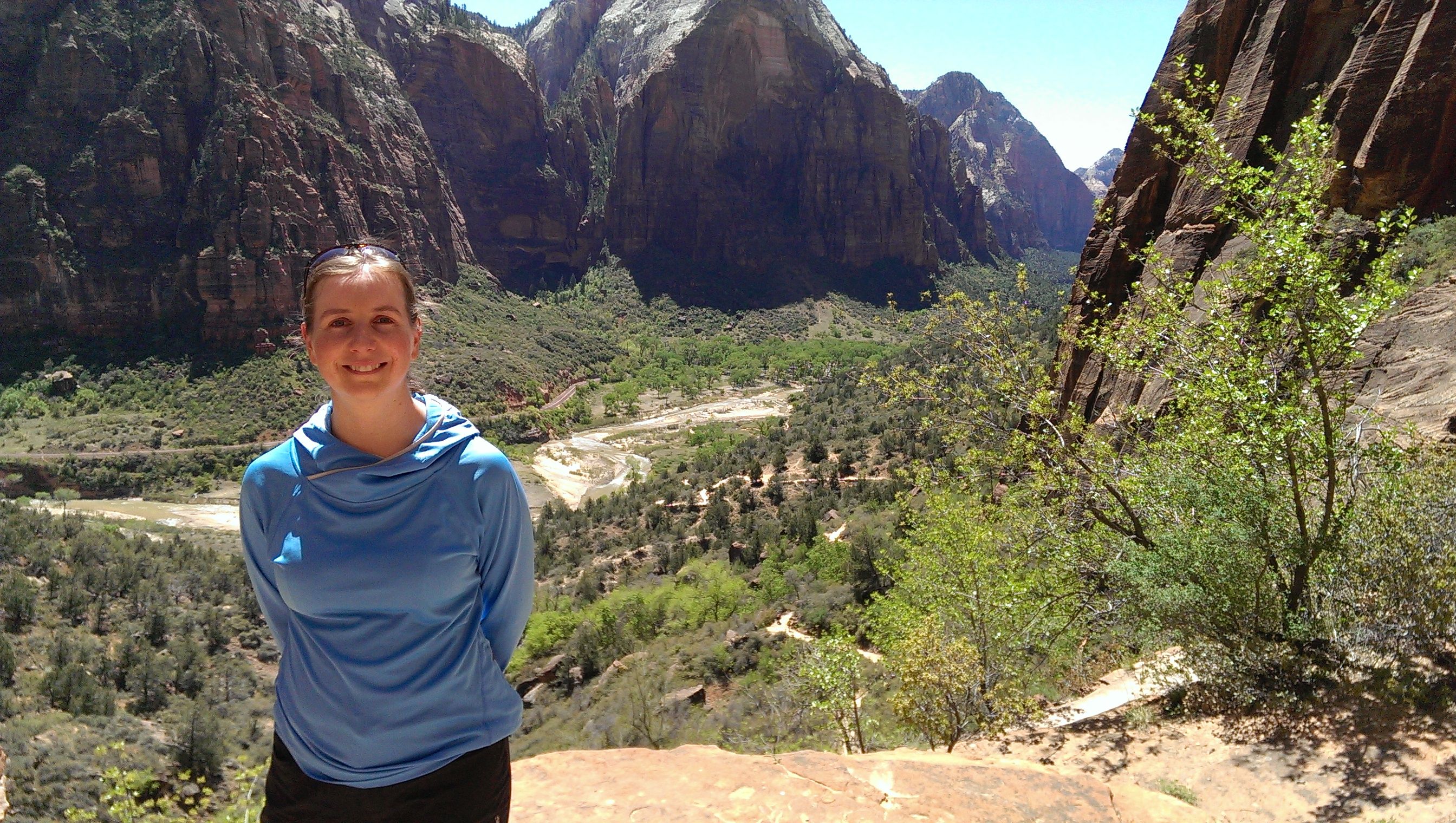
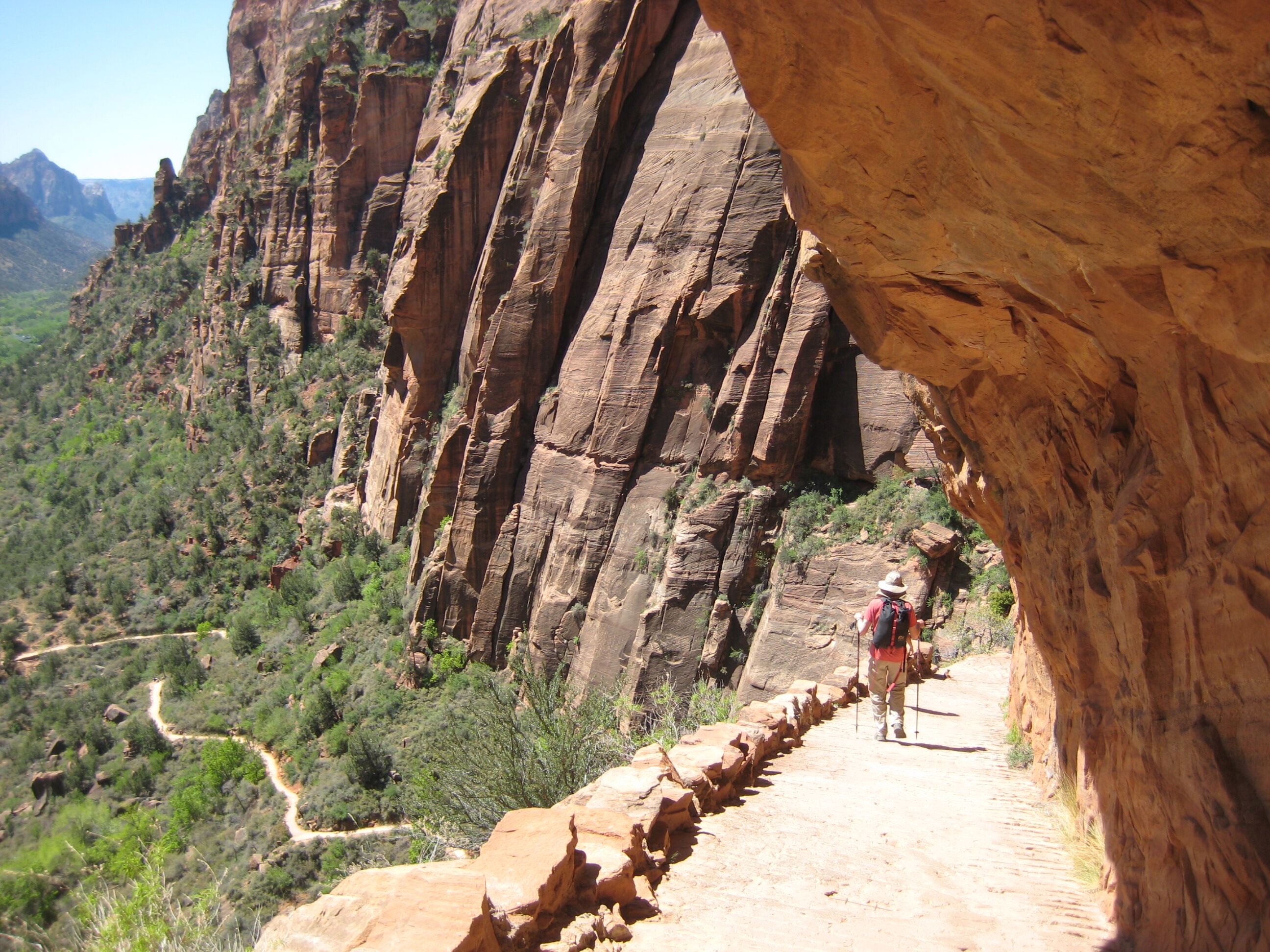
Photo credit: Y
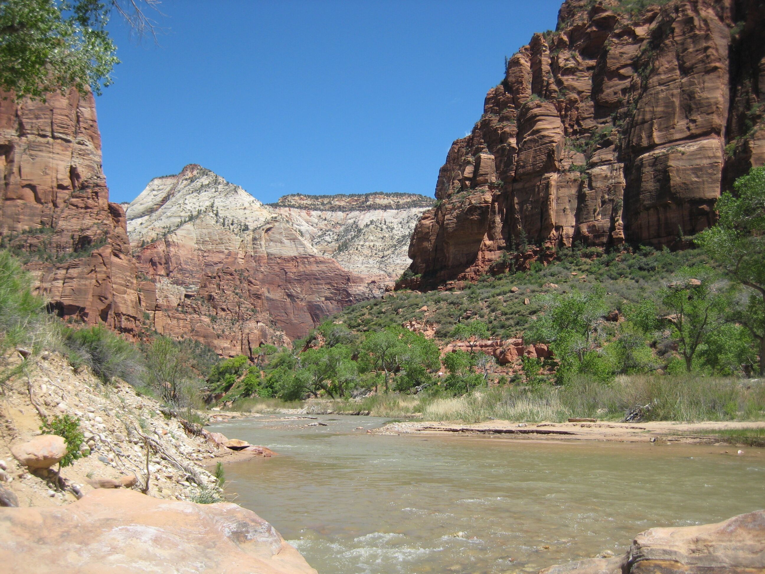
Photo credit: Y
at the bottom we rest and eat leftovers of the Greatest Pizza in the World. then we take the shuttle one more stop and do the 1-mile hike up to Hidden Canyon. This is a great little hike.
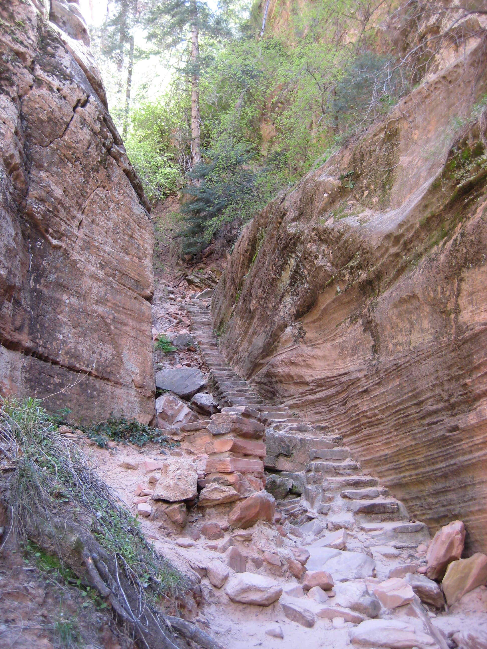
Photo credit: Y
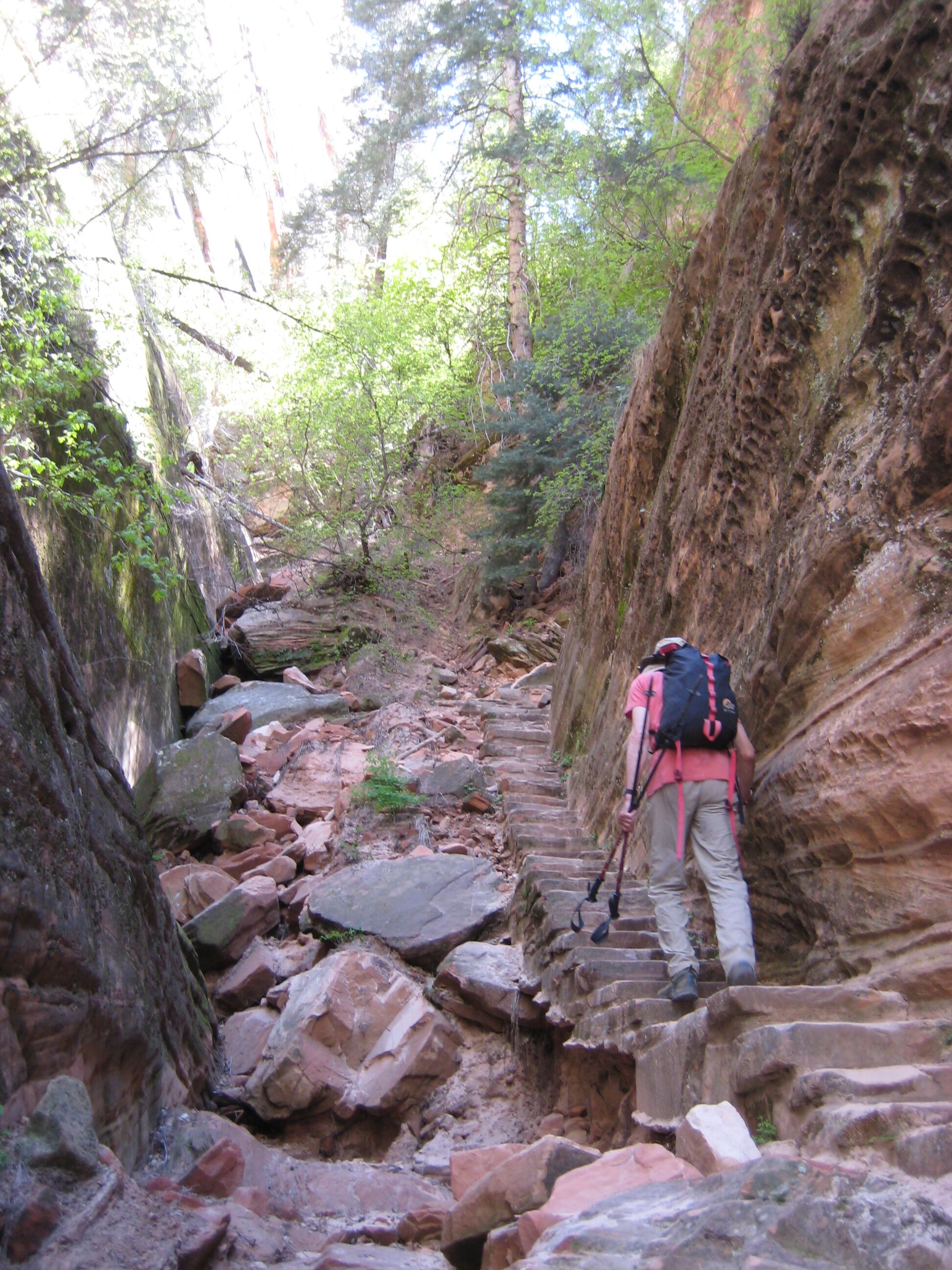
Photo credit: Y
On the way down we pass 4 mini-tractor thingies carrying concrete up the trail; they're like Segways with rubber tank treads.
Y insists on taking the shuttle to the end of the line. We return (~40 min) and take another shuttle back into town. We head out of town, going the wrong way for several miles. Y uses the second pass through adorable Springdale as a chance to get some food at Sunshine Grocery.
Once righted, the drive to Bryce is awesomely spectacular. The road winds among (and sometimes through) enormous red rock formations. Even the asphalt is red. It adds up to psychedelic sensory overload.
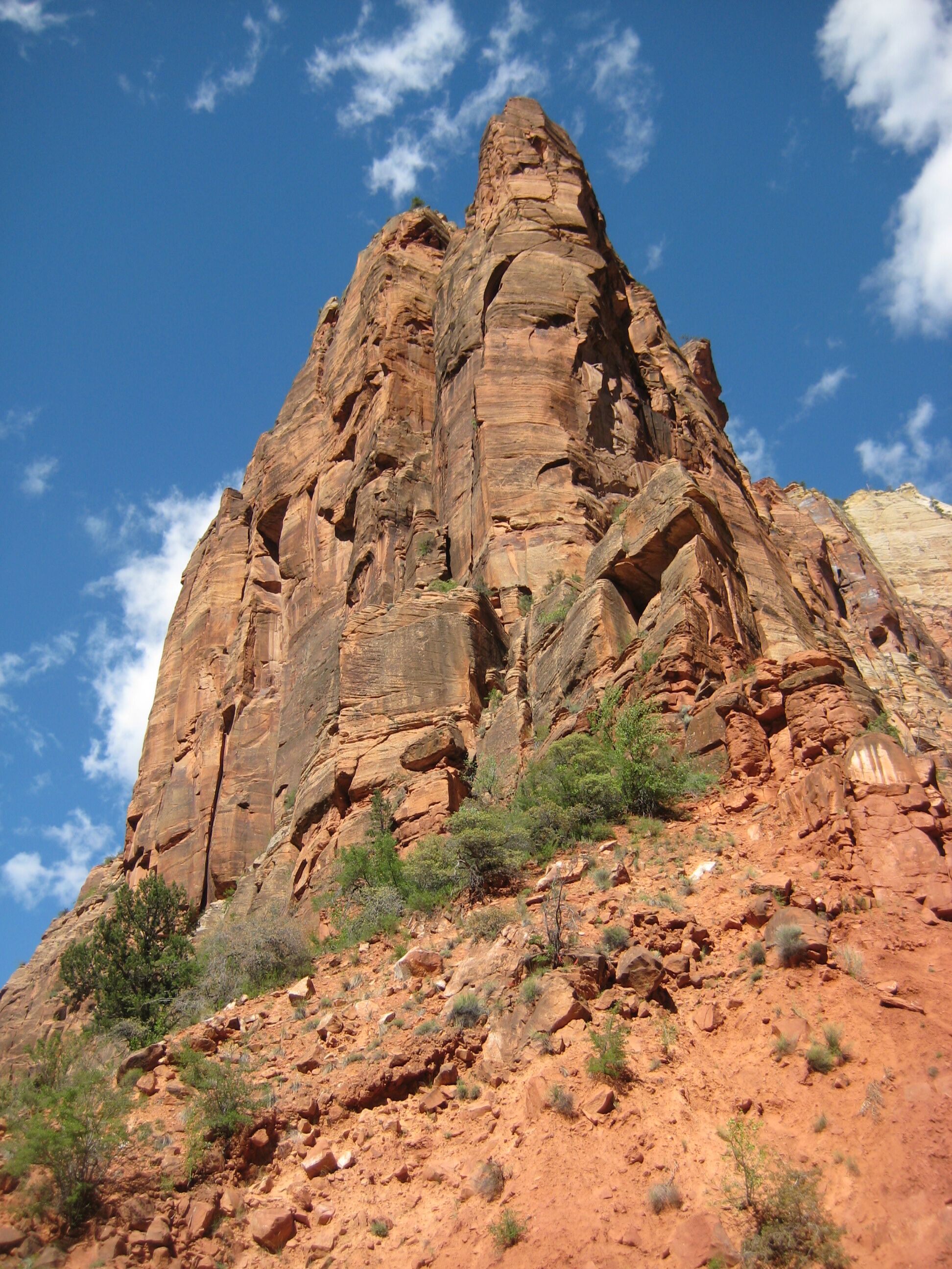
Photo credit: Y
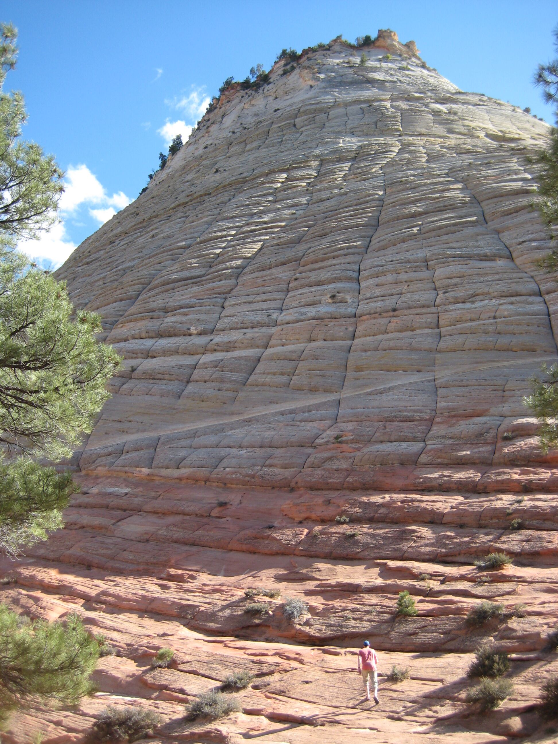
Photo credit: Y
We arrive in Bryce, which is a charmless cluster of motels and gas stations outside the park entrance. We're in the Best Western Plus Bryce Canyon Lodge, or something like that. At check-in we're behind two parties who take forever. One of them is speaking French: an Asian couple and a sordid-looking 3rd guy. They seem to have complex issues, and the clerk is a flummoxed-looking girl who, it turns out, is "still training".
We finally get our room key, but have surprising trouble finding the room. The motel has two wings, with long corridors and a disorienting lack of signage. The room is fancy but has, if anything, an even louder heating unit. We're at a higher altitude than Zion - maybe 8,000' - and it's below freezing at night.
The local dining option - the buffet at Ruby's Inn - is poorly reviewed, so we drive into the park and eat in the restaurant at the lodge. The navigation is problematic, and we end up driving along a segment of bike path. Despite the bike path detour, we are grateful Y has some Google map capabilities on her phone.
The food is good - vernal veggies for Y, and a half-portion of short ribs w/ mashed potatoes for D.
Tues April 19
D sleeps a little; heater noise issues again. The breakfast is as good as you're going to find in an American motel - eggs, potatoes, sausage, bacon, biscuits n' gravy, real orange juice, etc. Note: Y recommends staying in a nearby town, not in Bryce.
Bryce Canyon is a long plateau overlooking a huge area of "hoodoos" - eroded towers - and wildly colored dunes. There's a road along the rim, and various lookout points. We go to Sunrise point and take the Fairyland trail, which descends into the valley, meanders around, and goes back up to Fairyland Point, from which you take the Rim Trail back to the car.
The trail is amazing. Every few hundred yards reveals a new jaw-droppingly spectacular view. We're concerned that after this, everything else on the trip will seem blah; there is something to that.
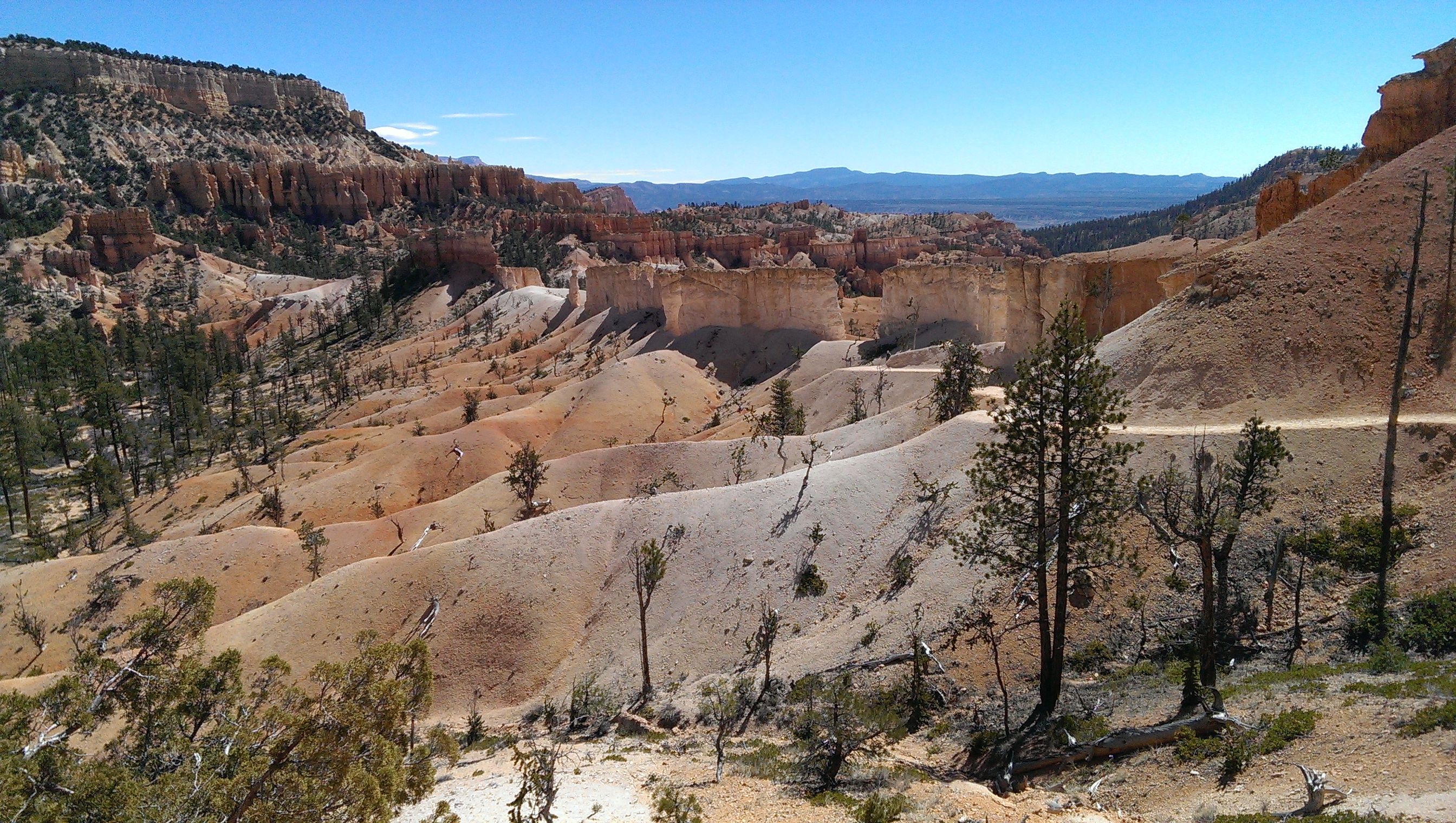
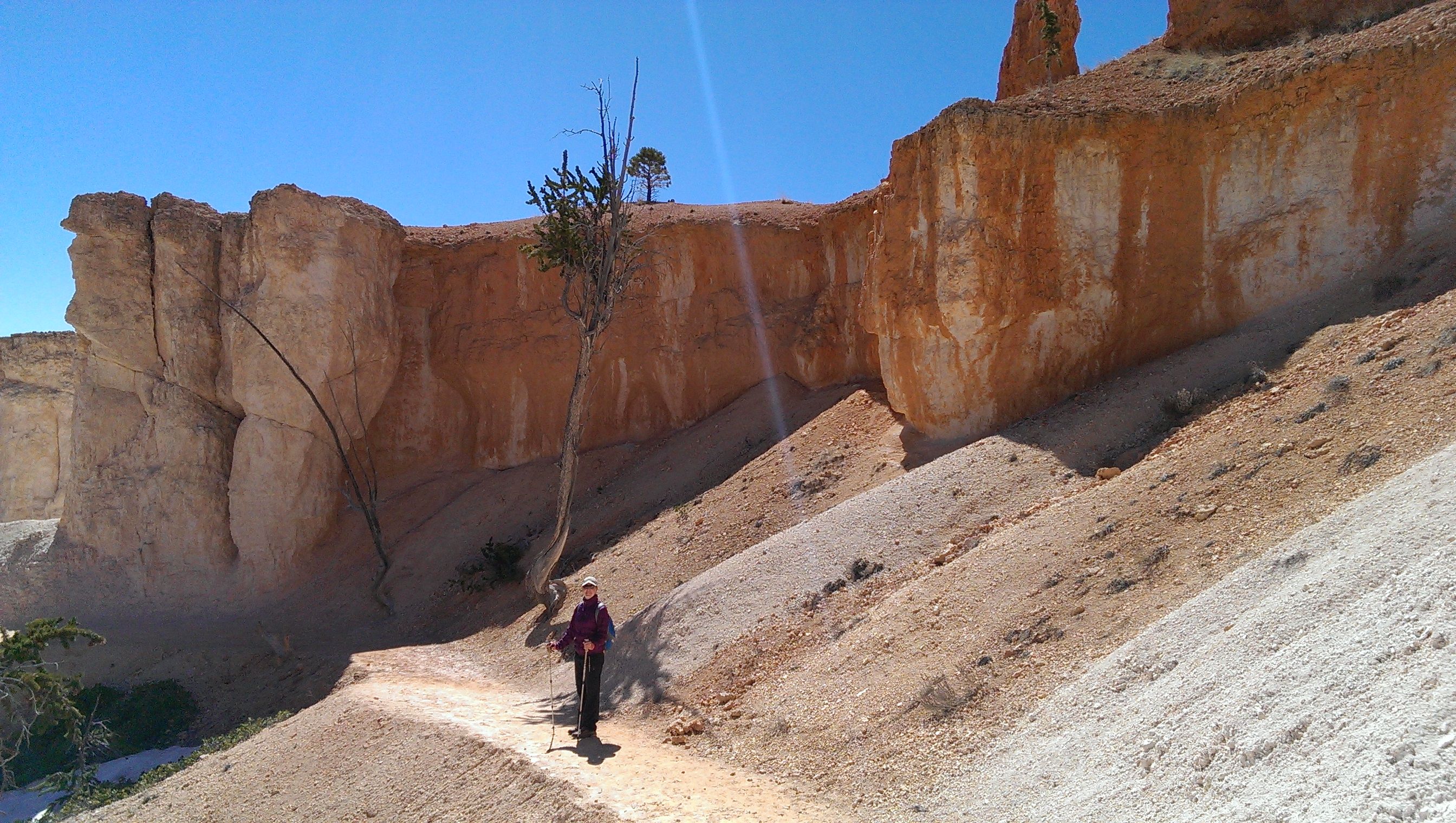
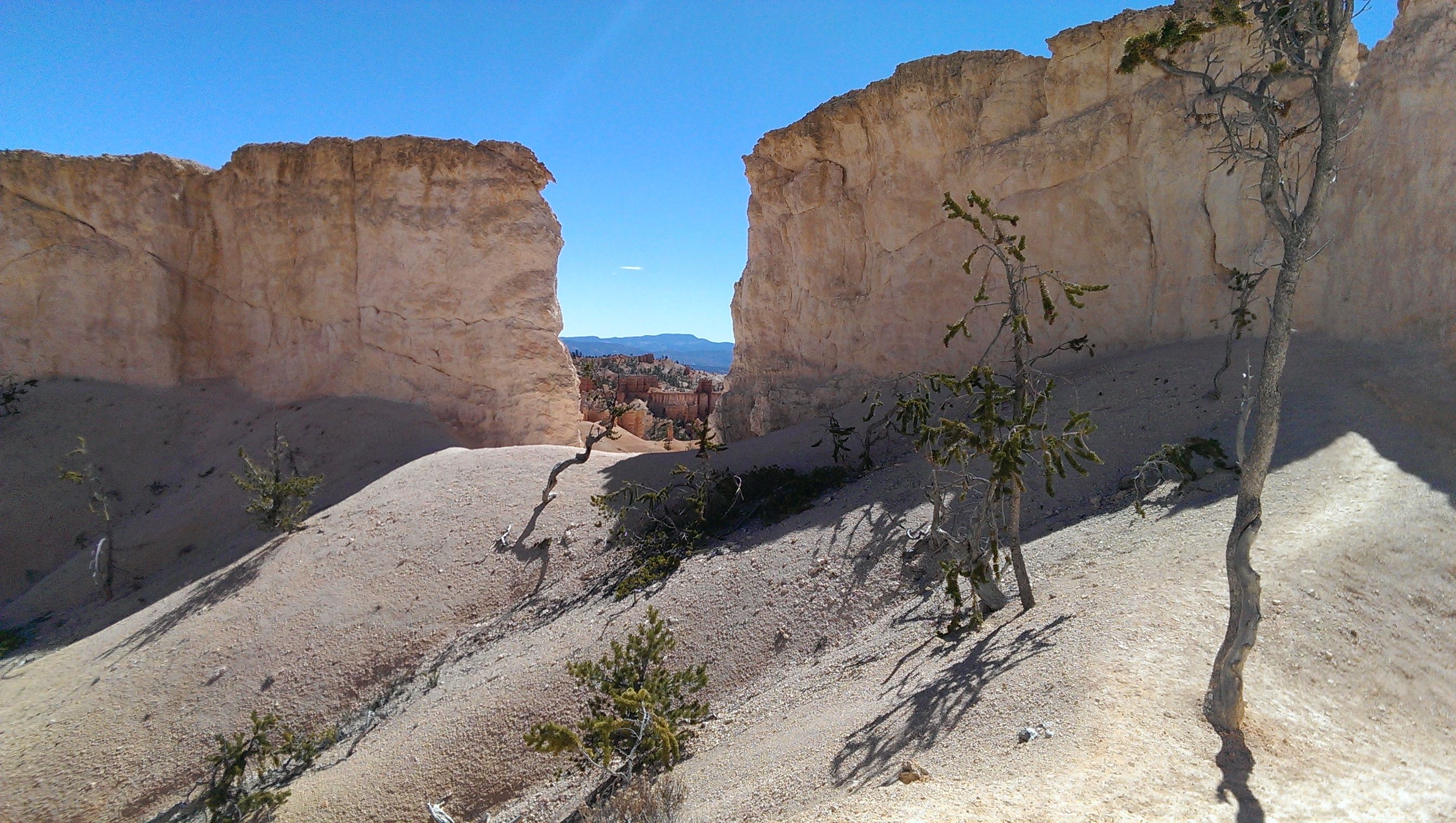
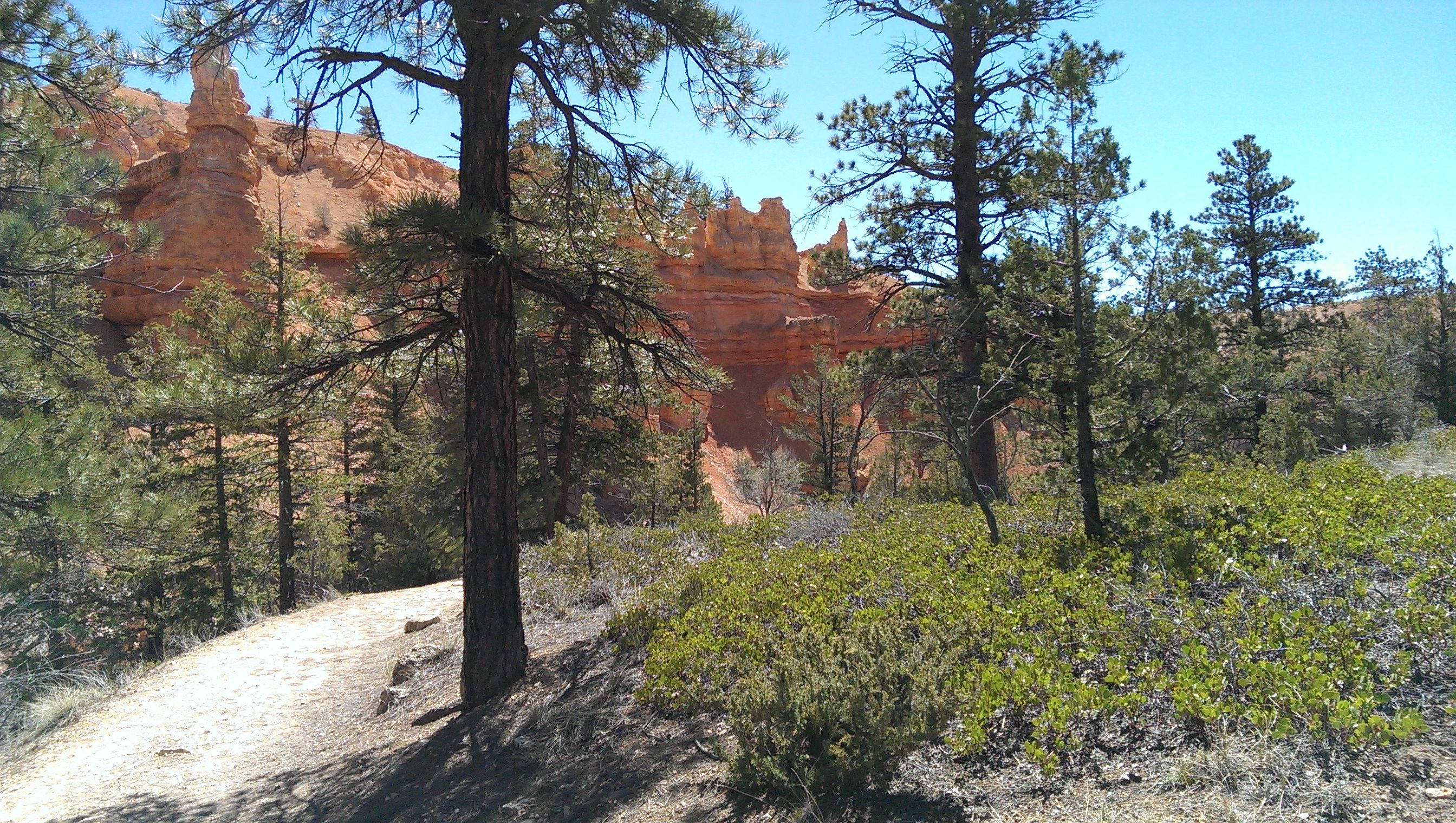
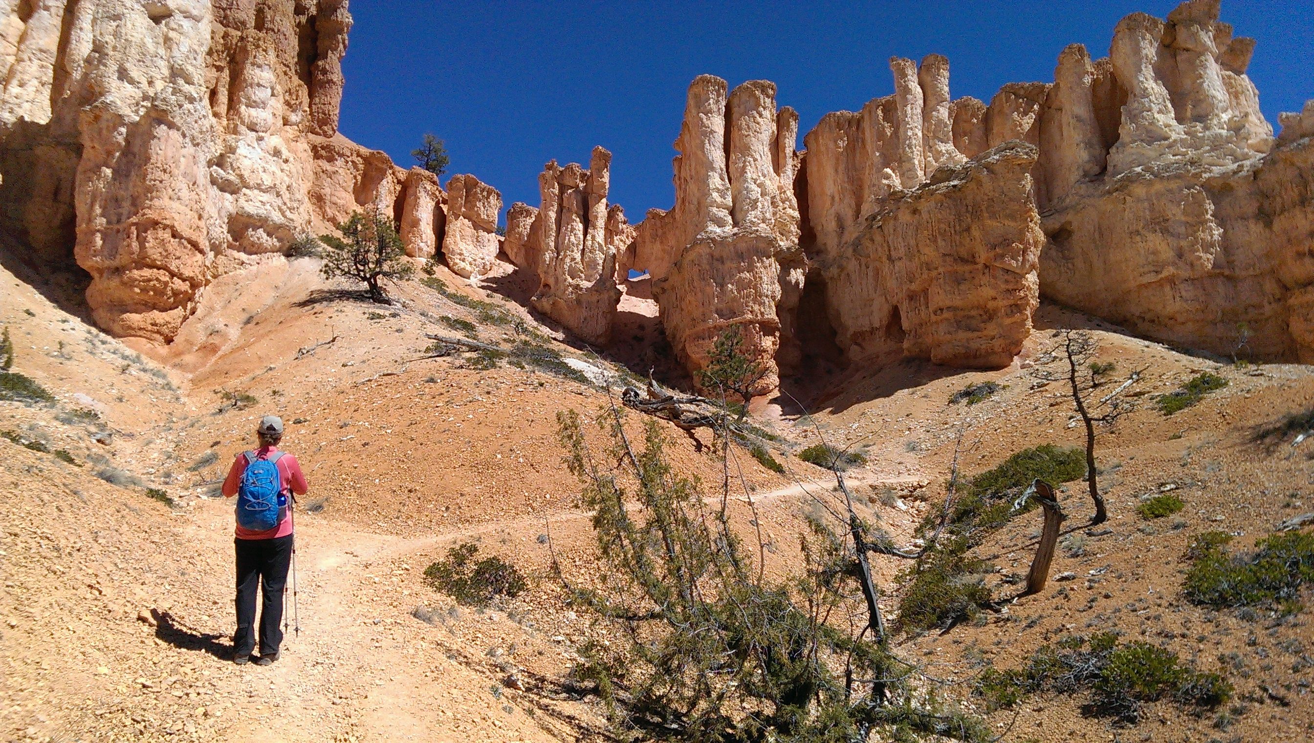
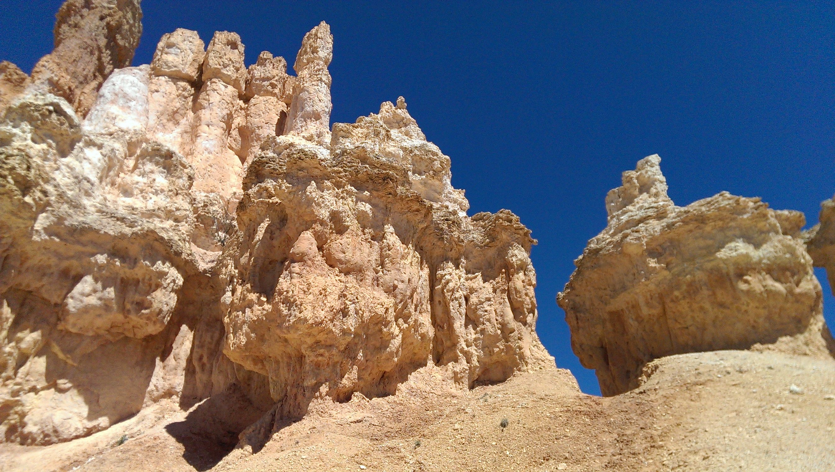
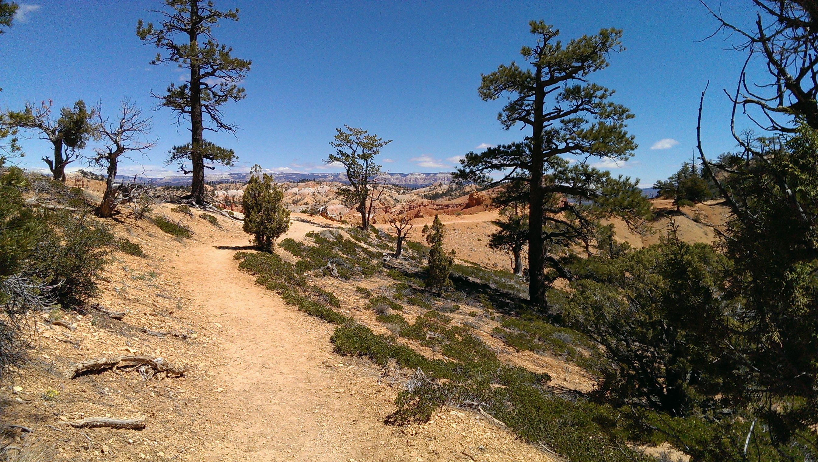
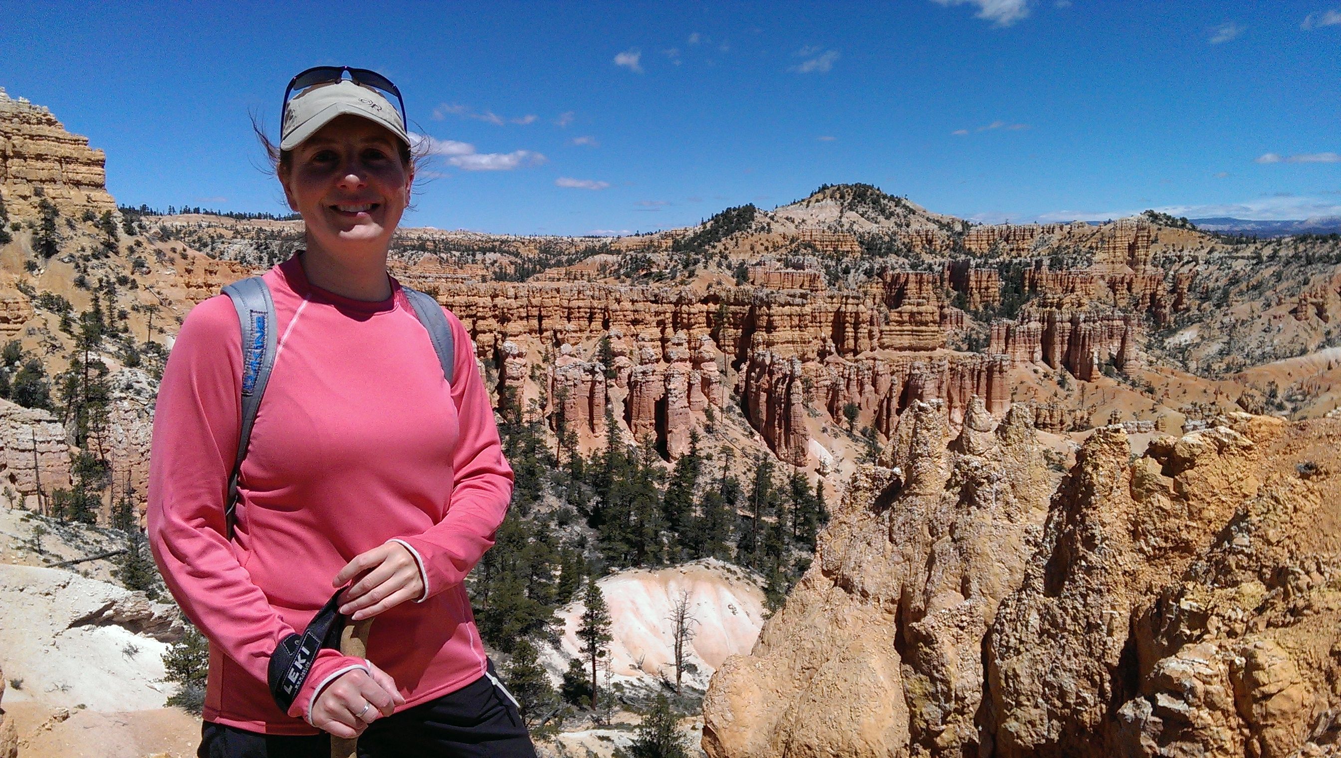
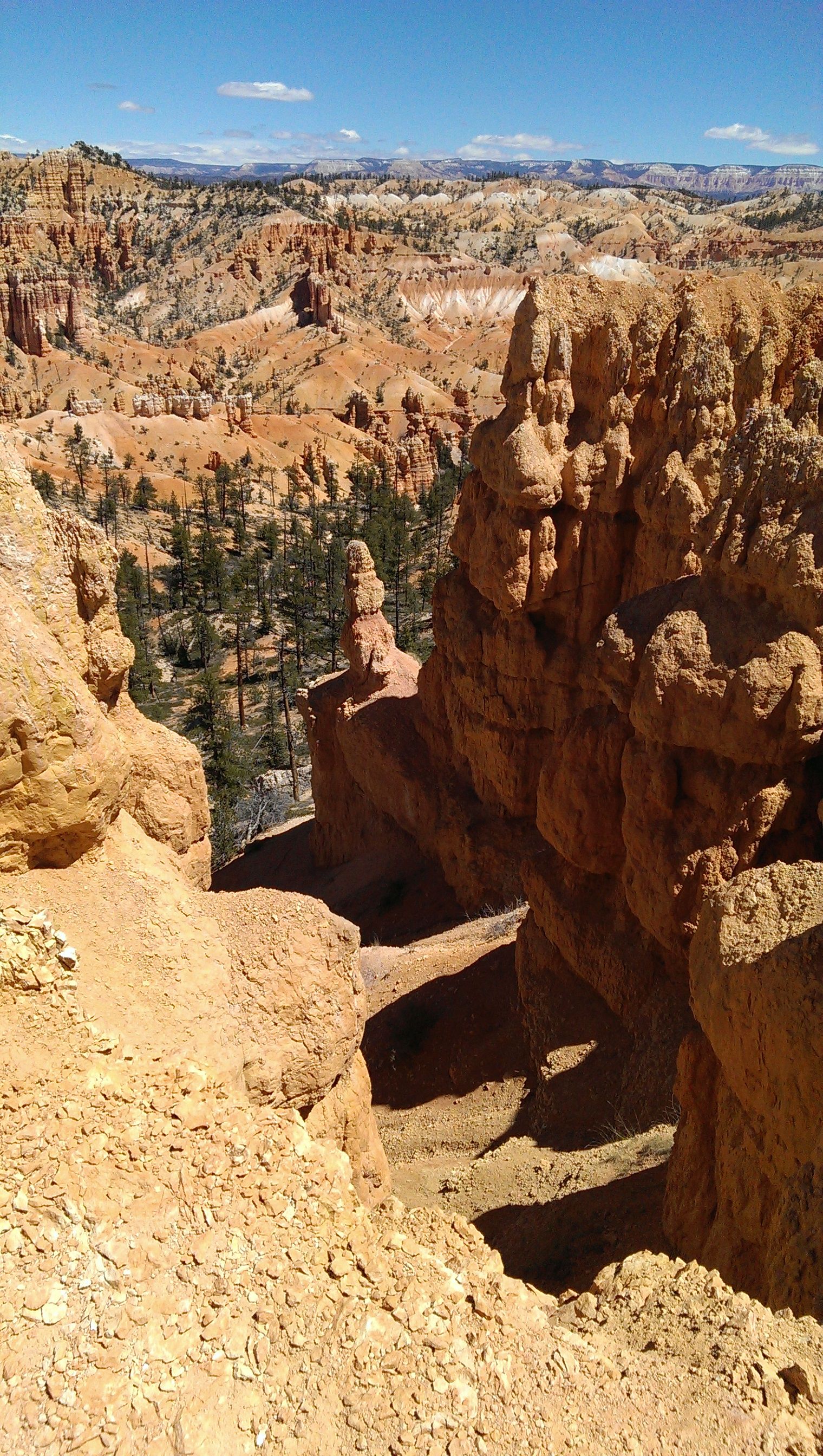
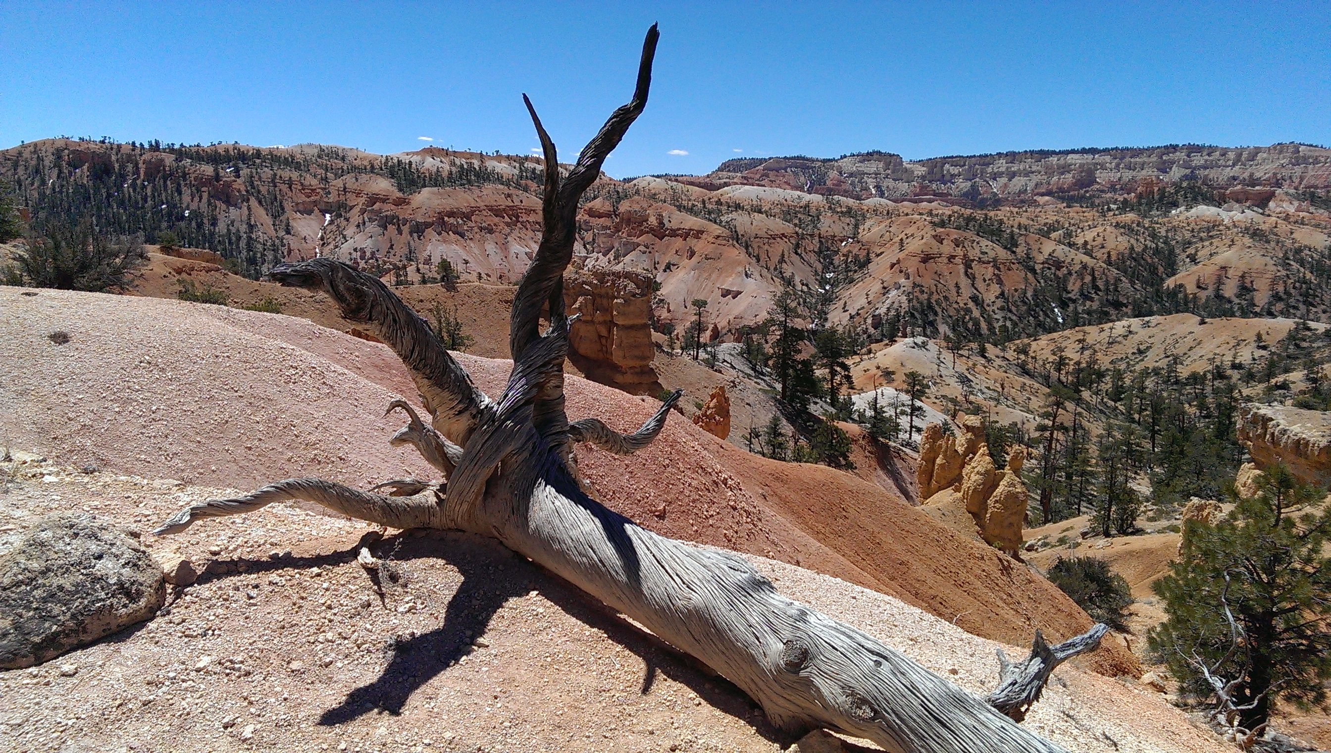
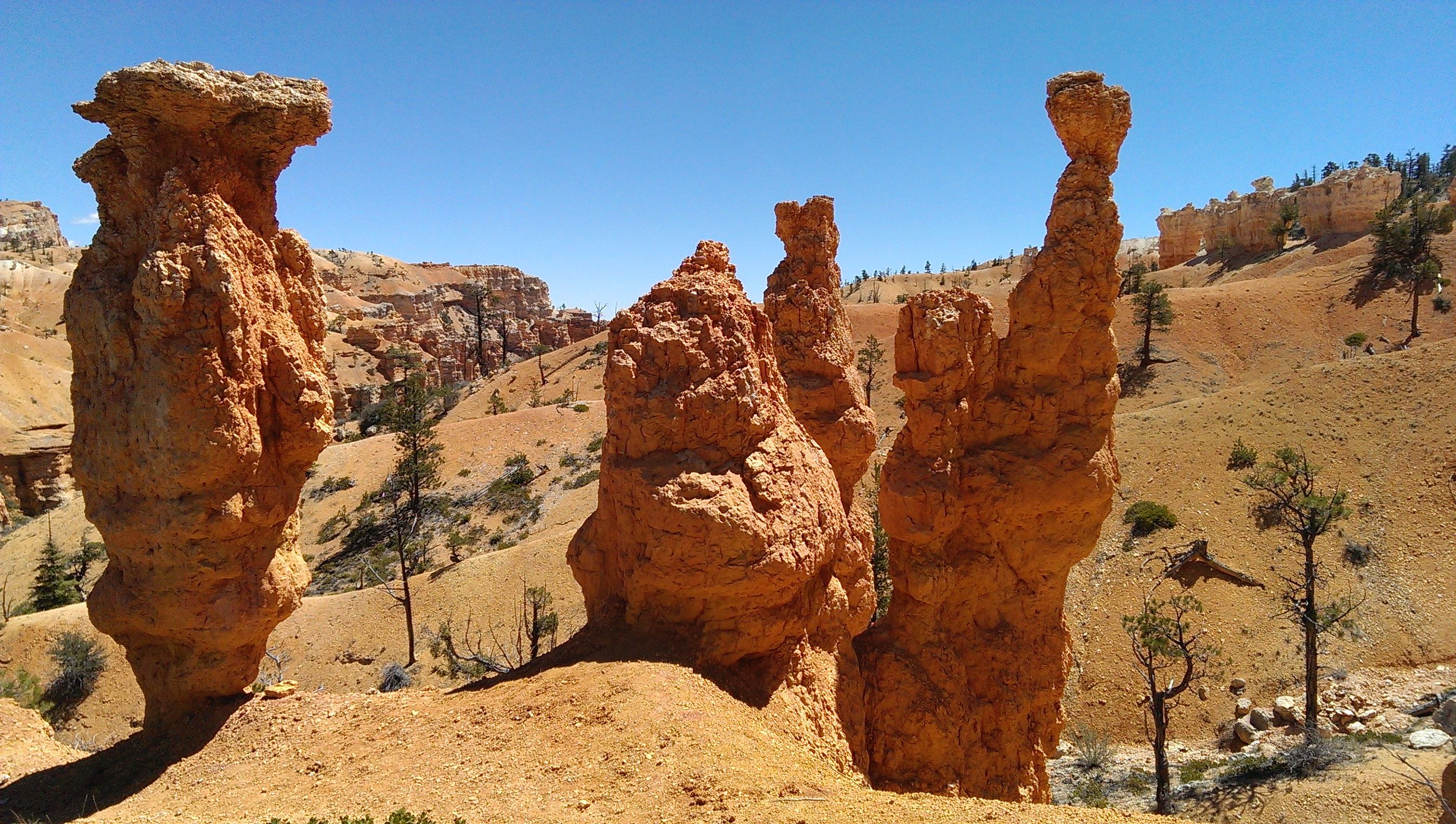
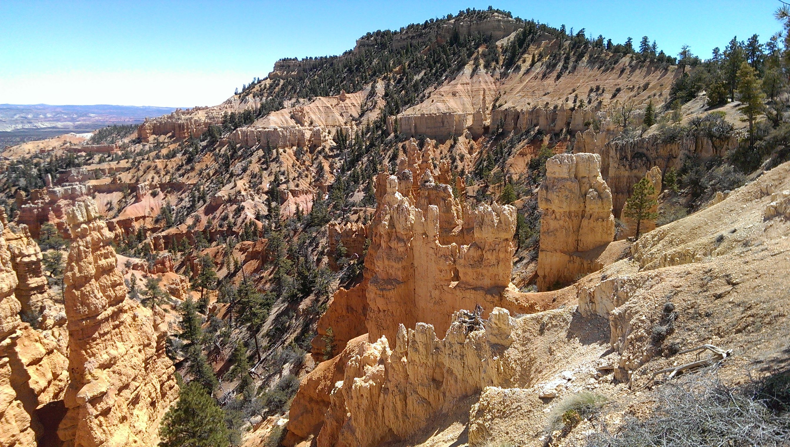

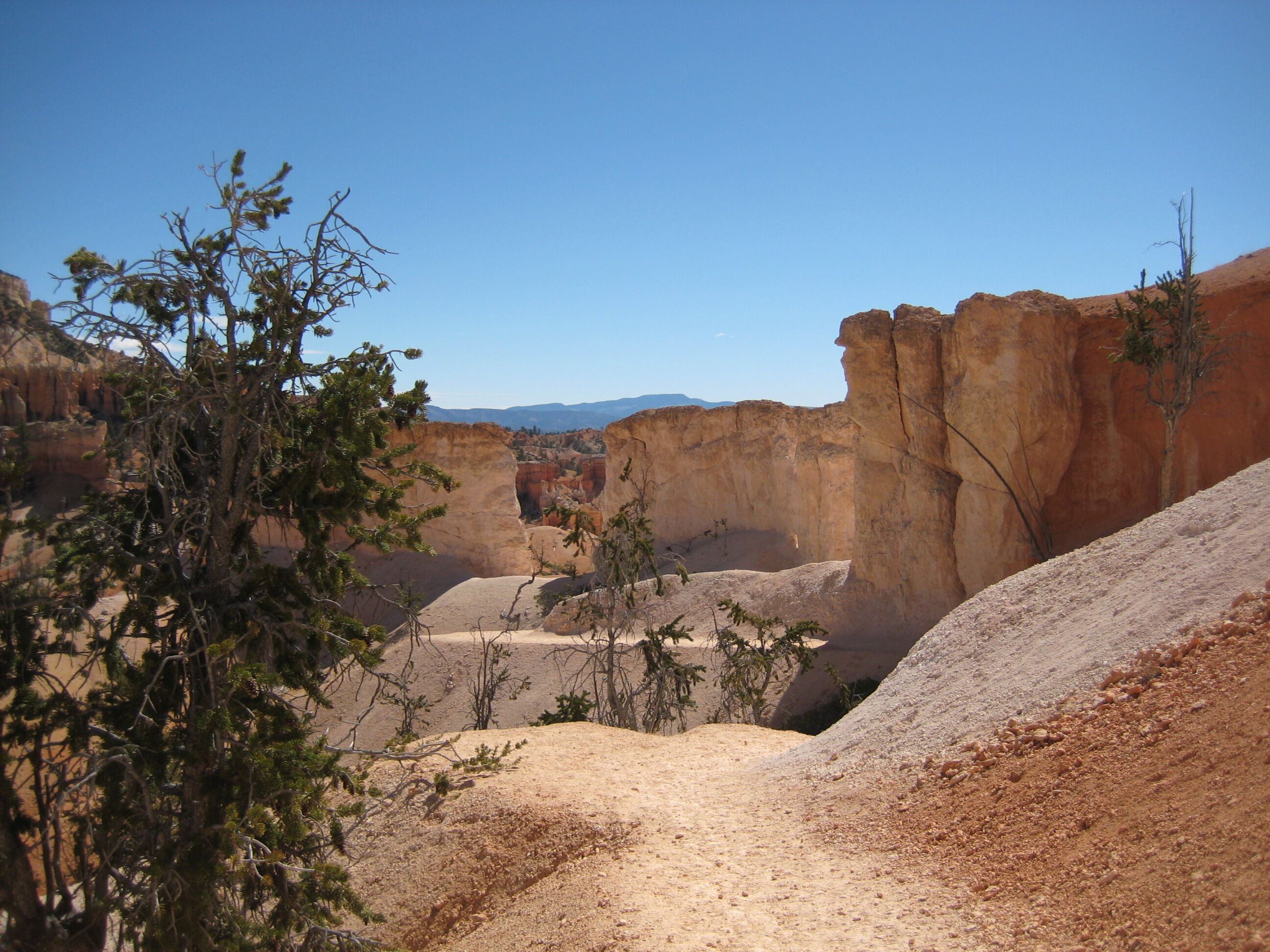
Photo credit: Y
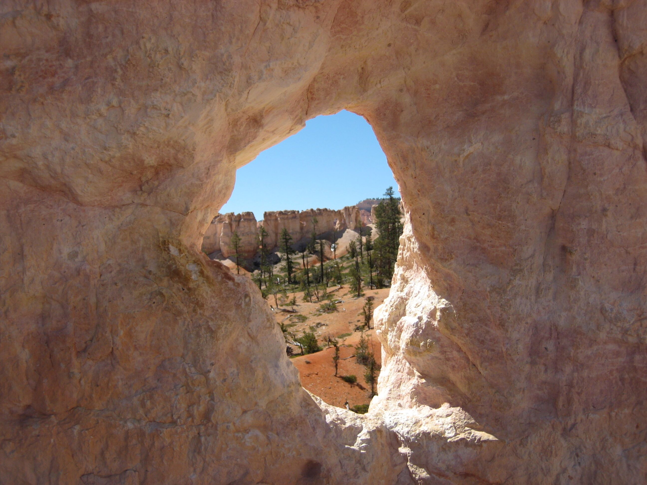
Photo credit: Y
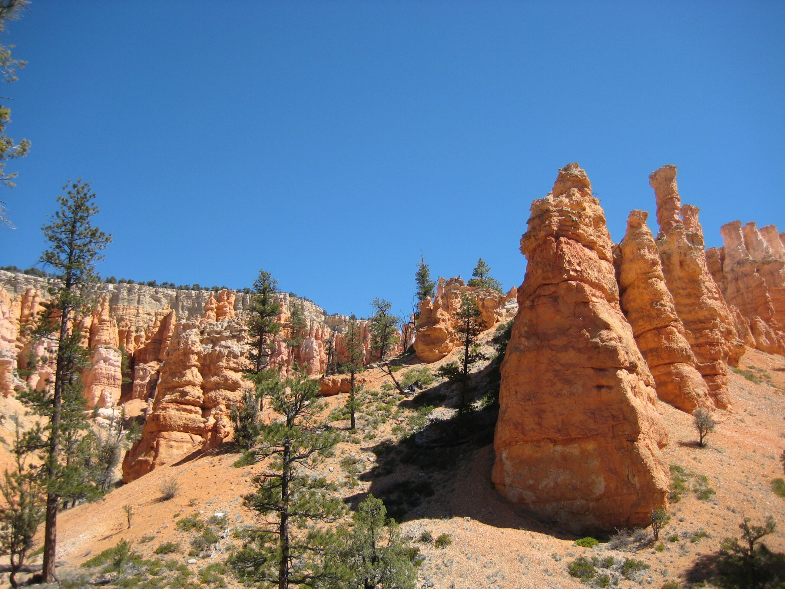
Photo credit: Y
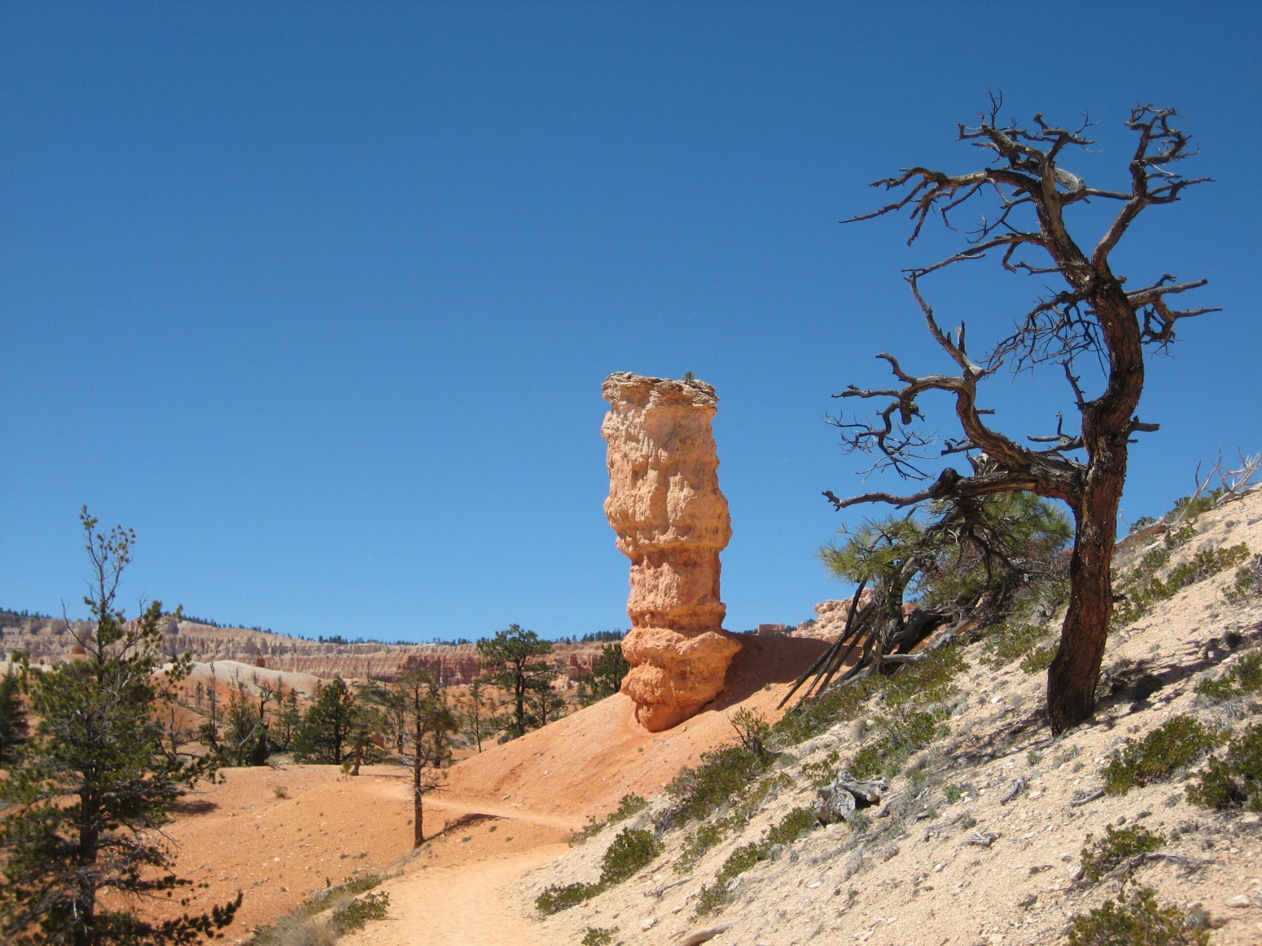
Photo credit: Y
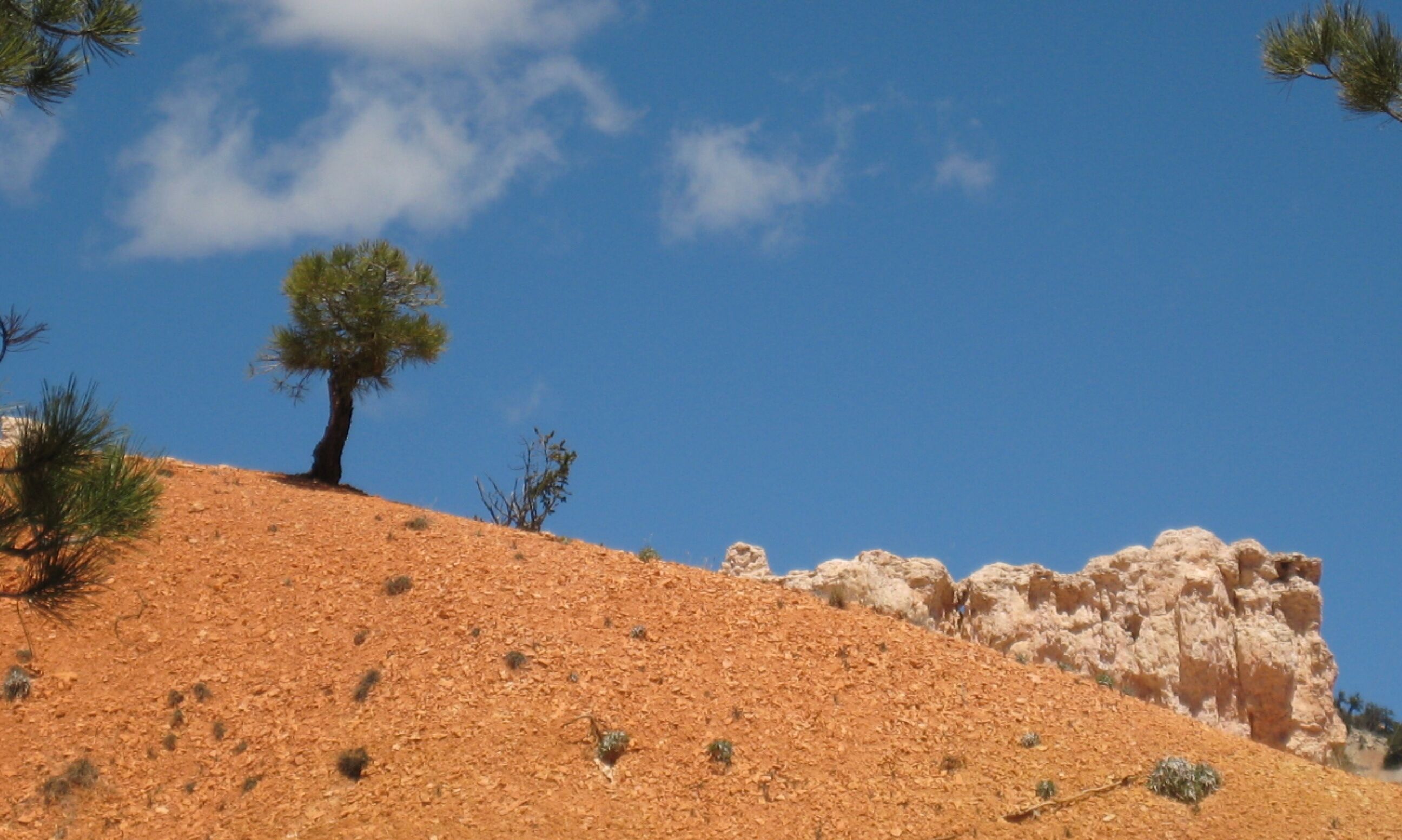
Photo credit: Y
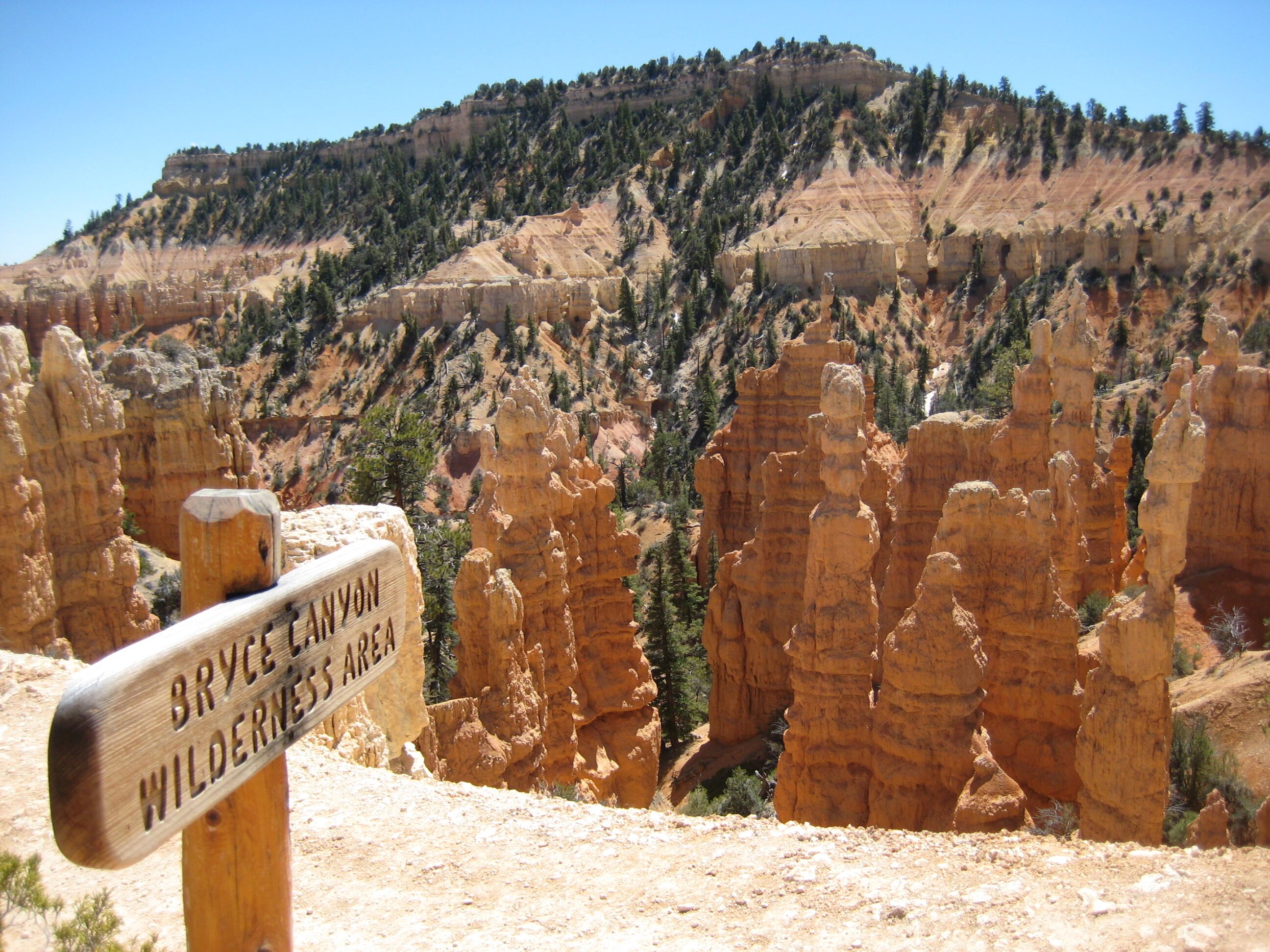
Photo credit: Y
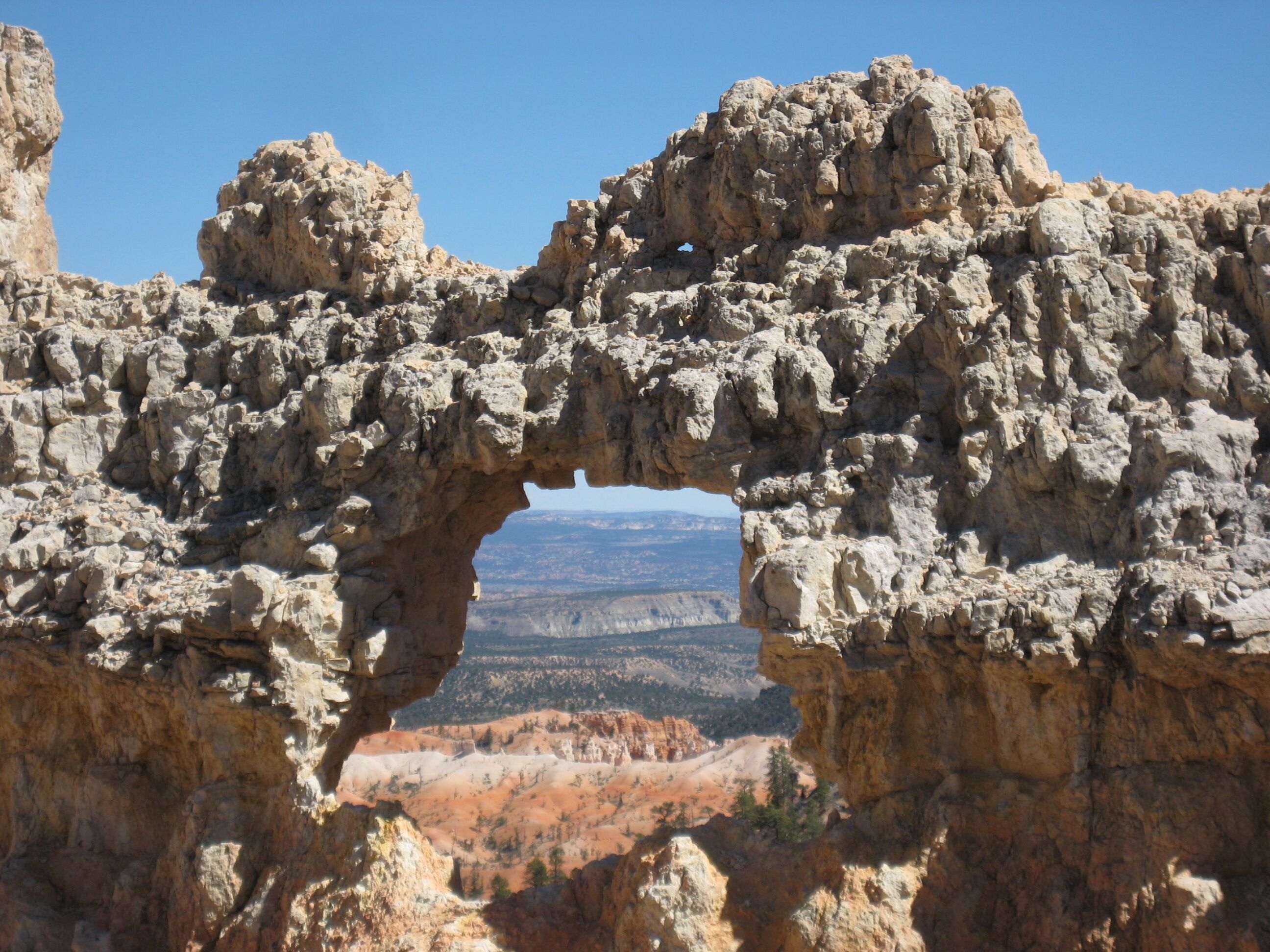
Photo credit: Y
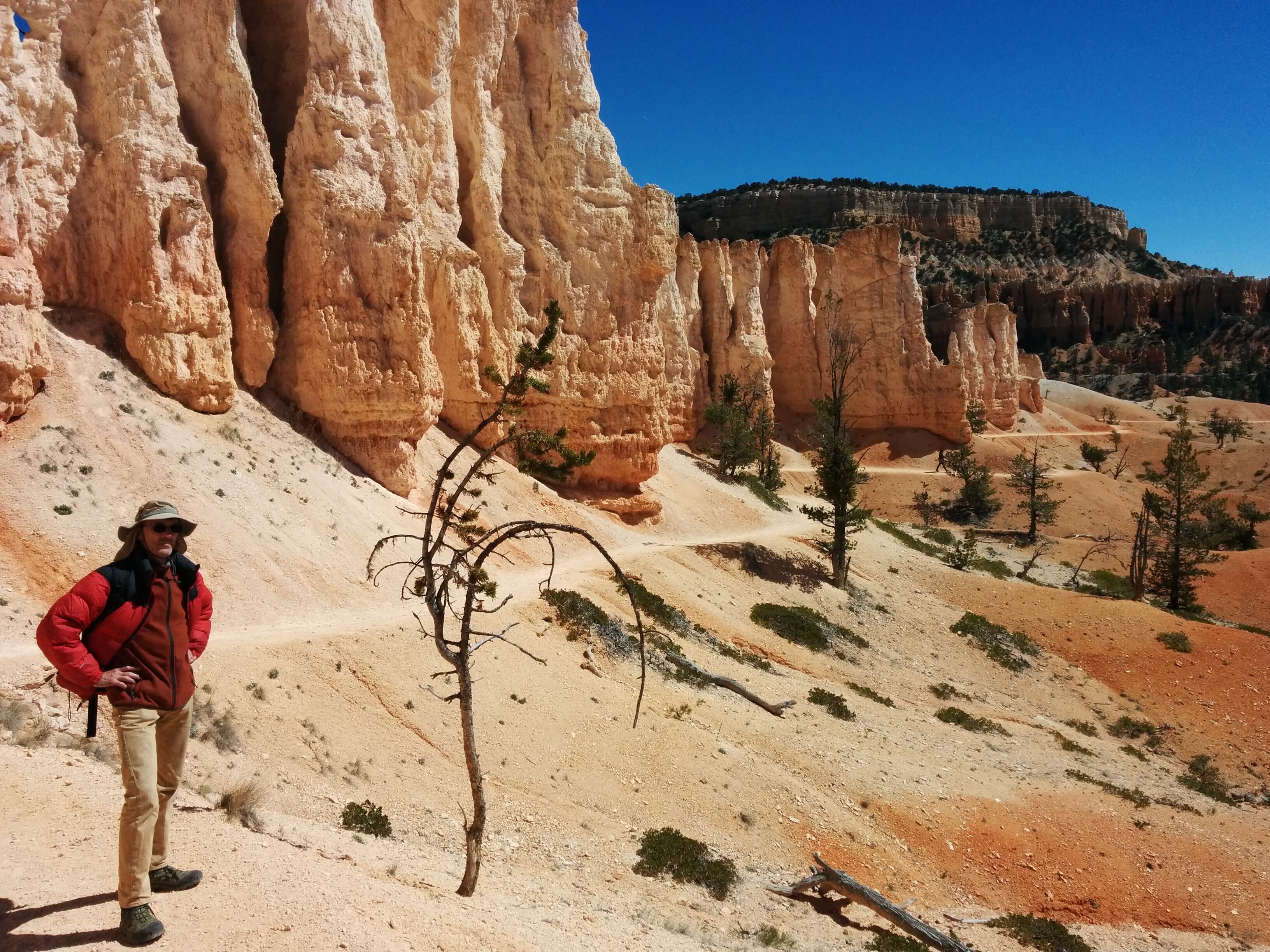
Photo credit: Y
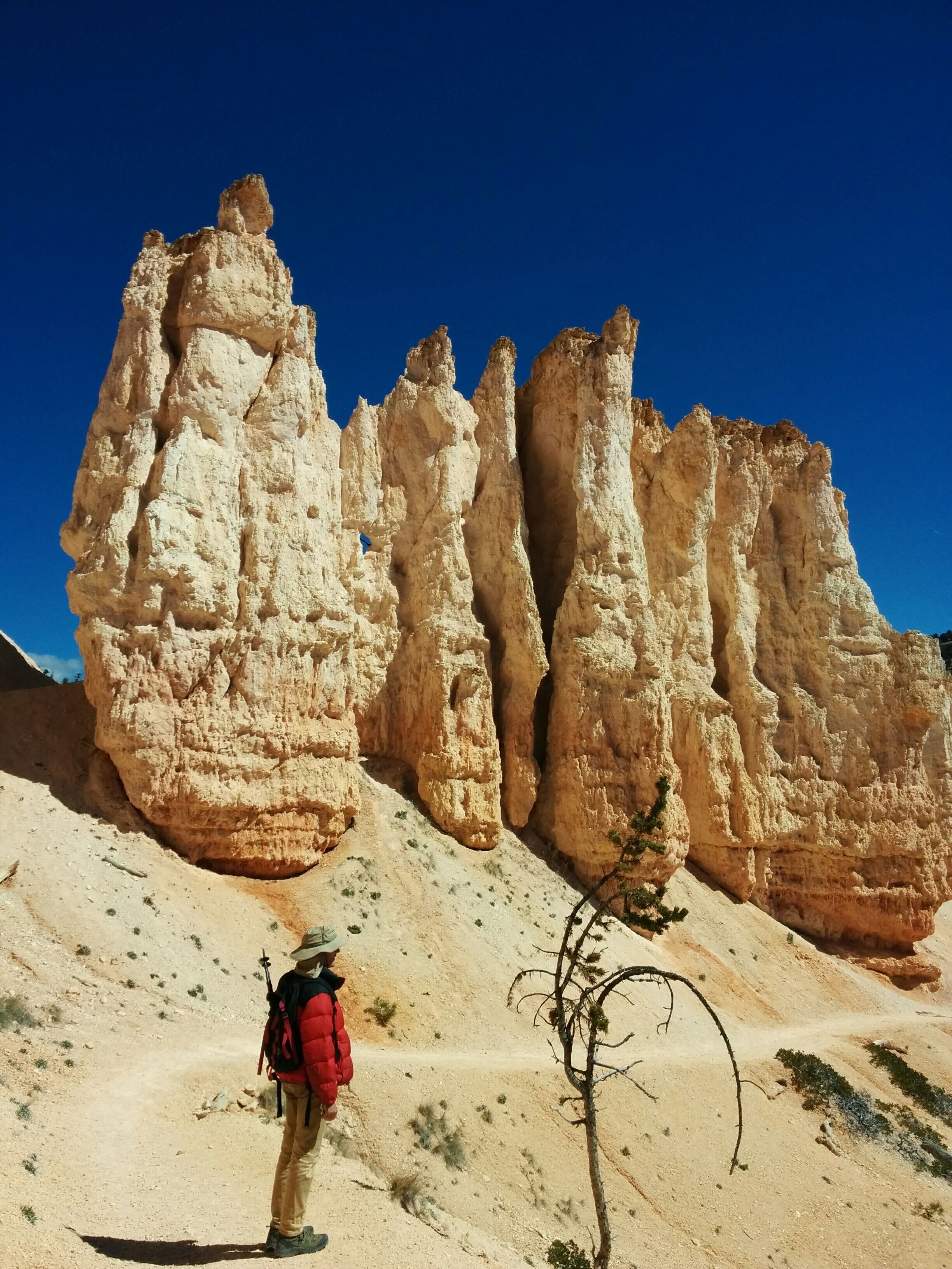
Photo credit: Y
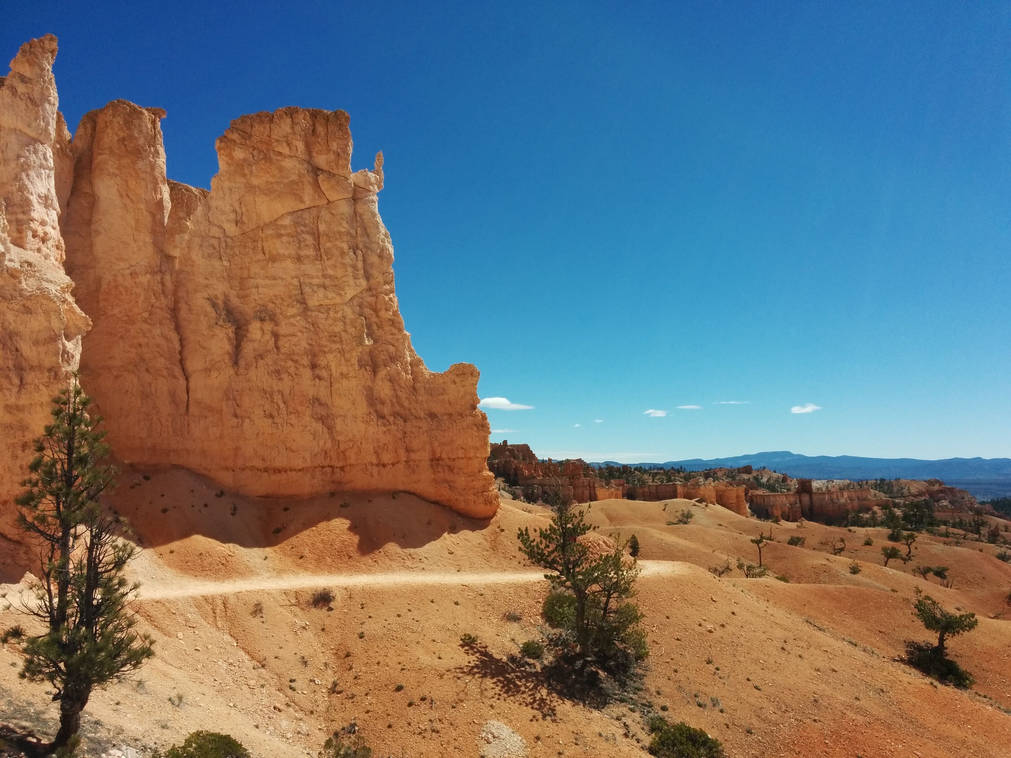
Photo credit: Y
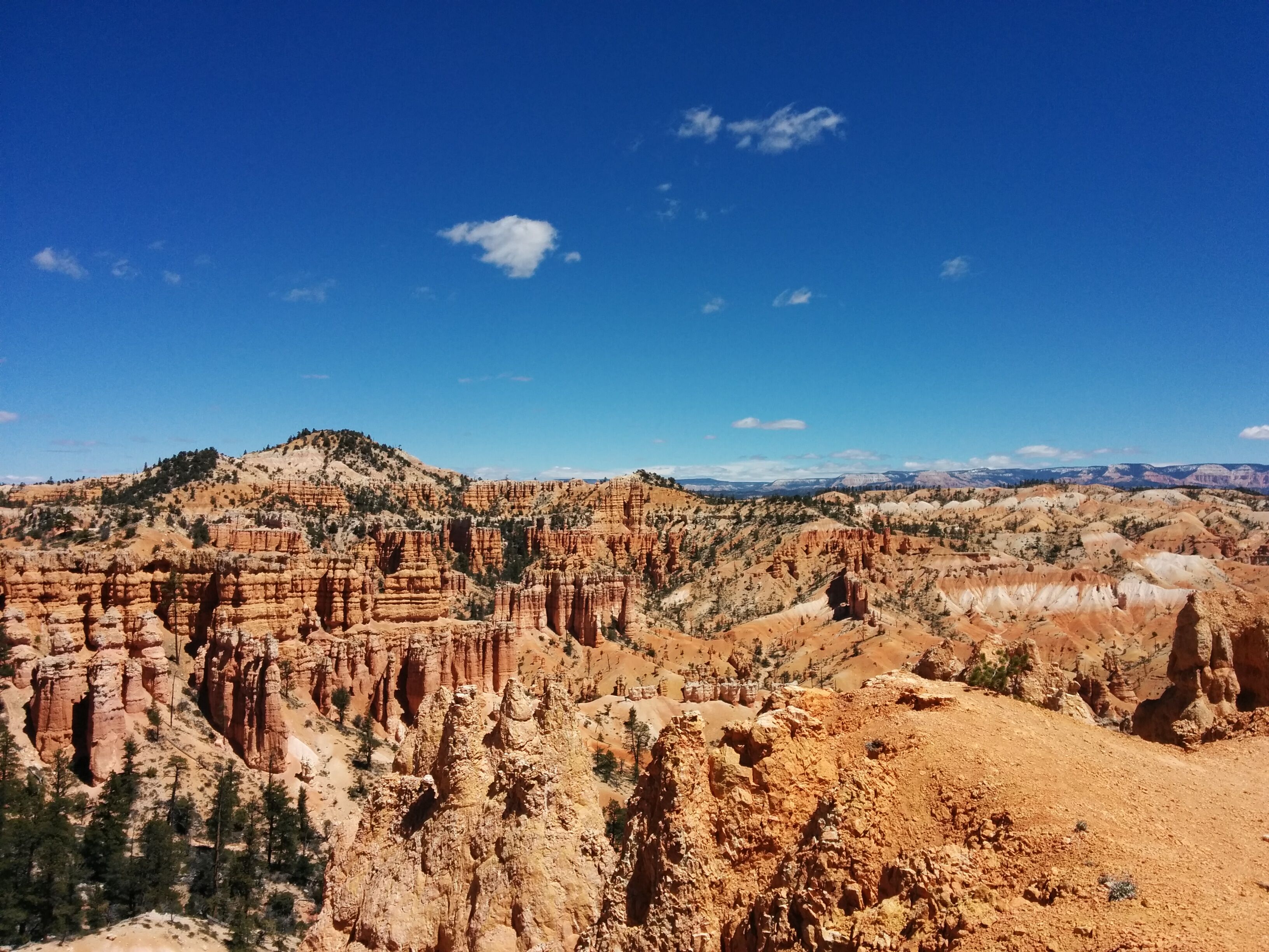
Photo credit: Y
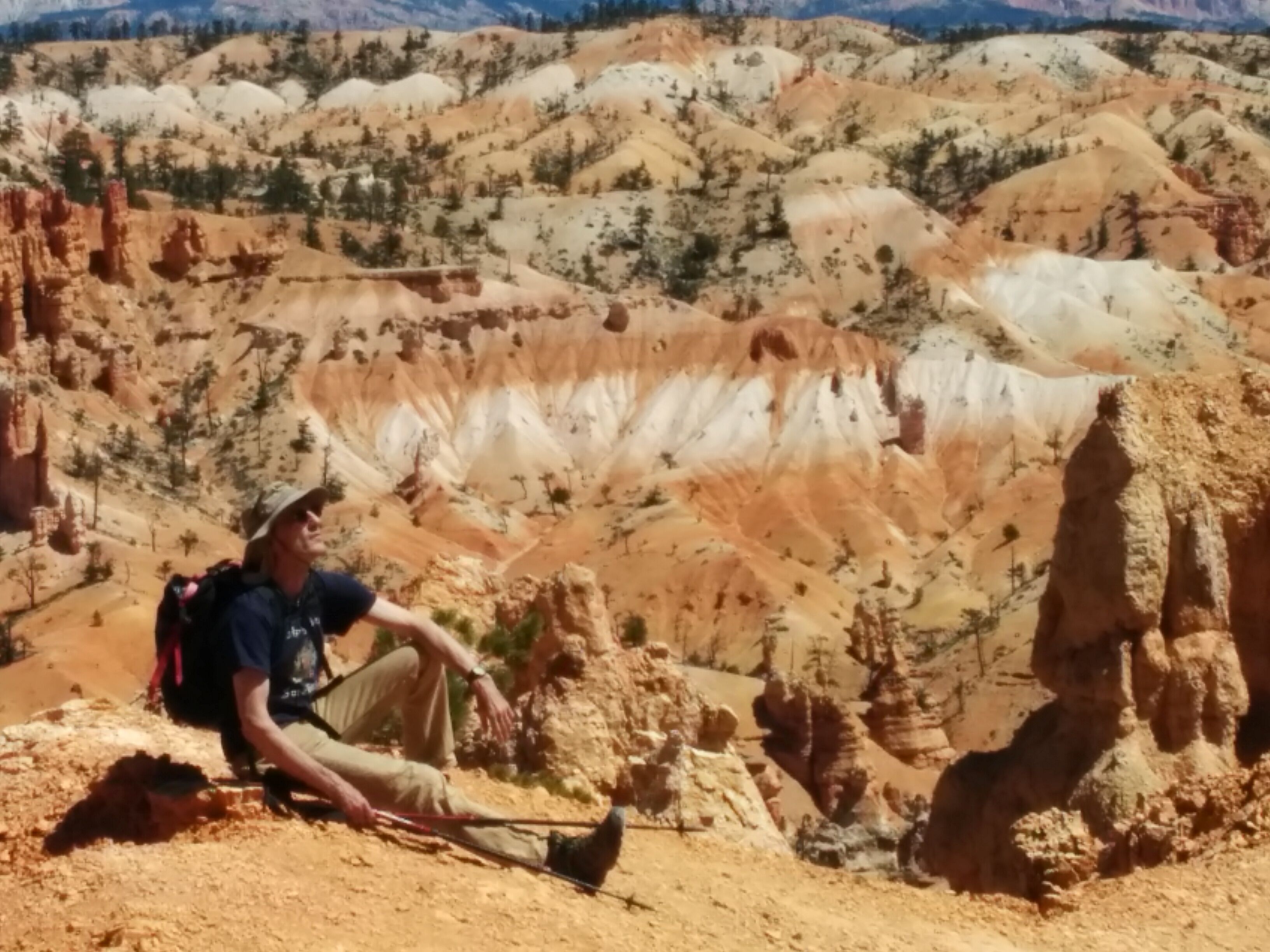
Photo credit: Y
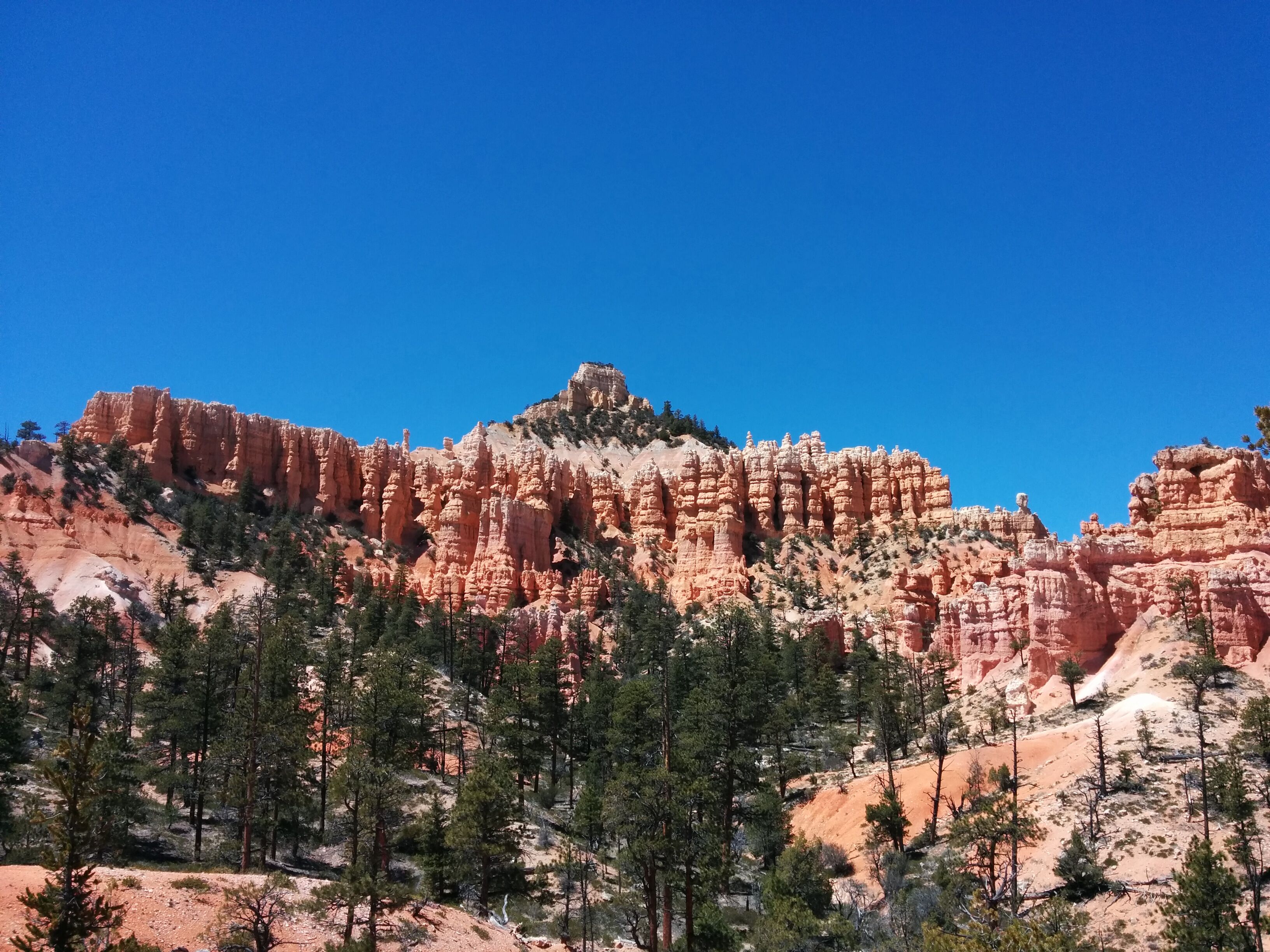
Photo credit: Y
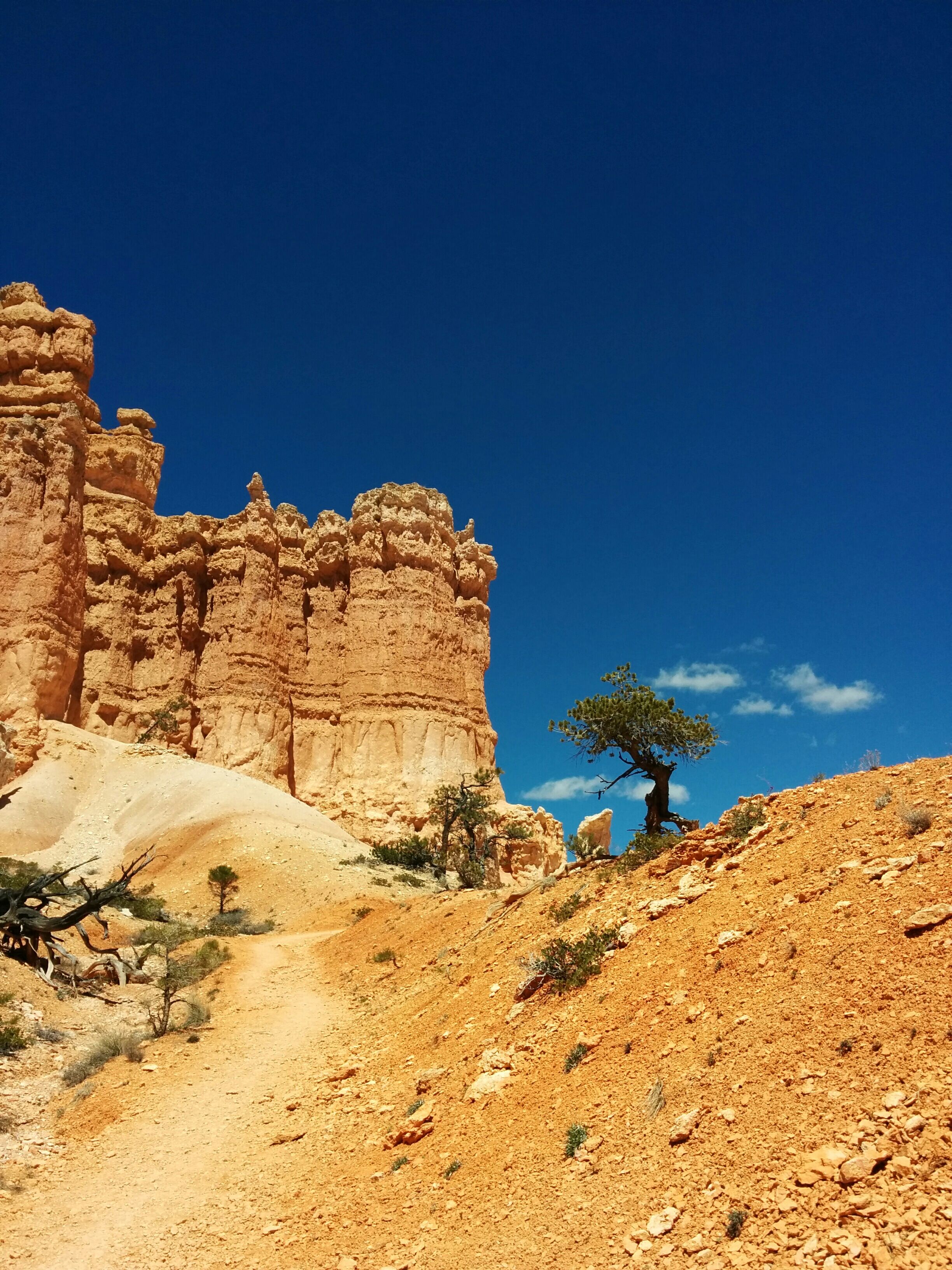
Photo credit: Y
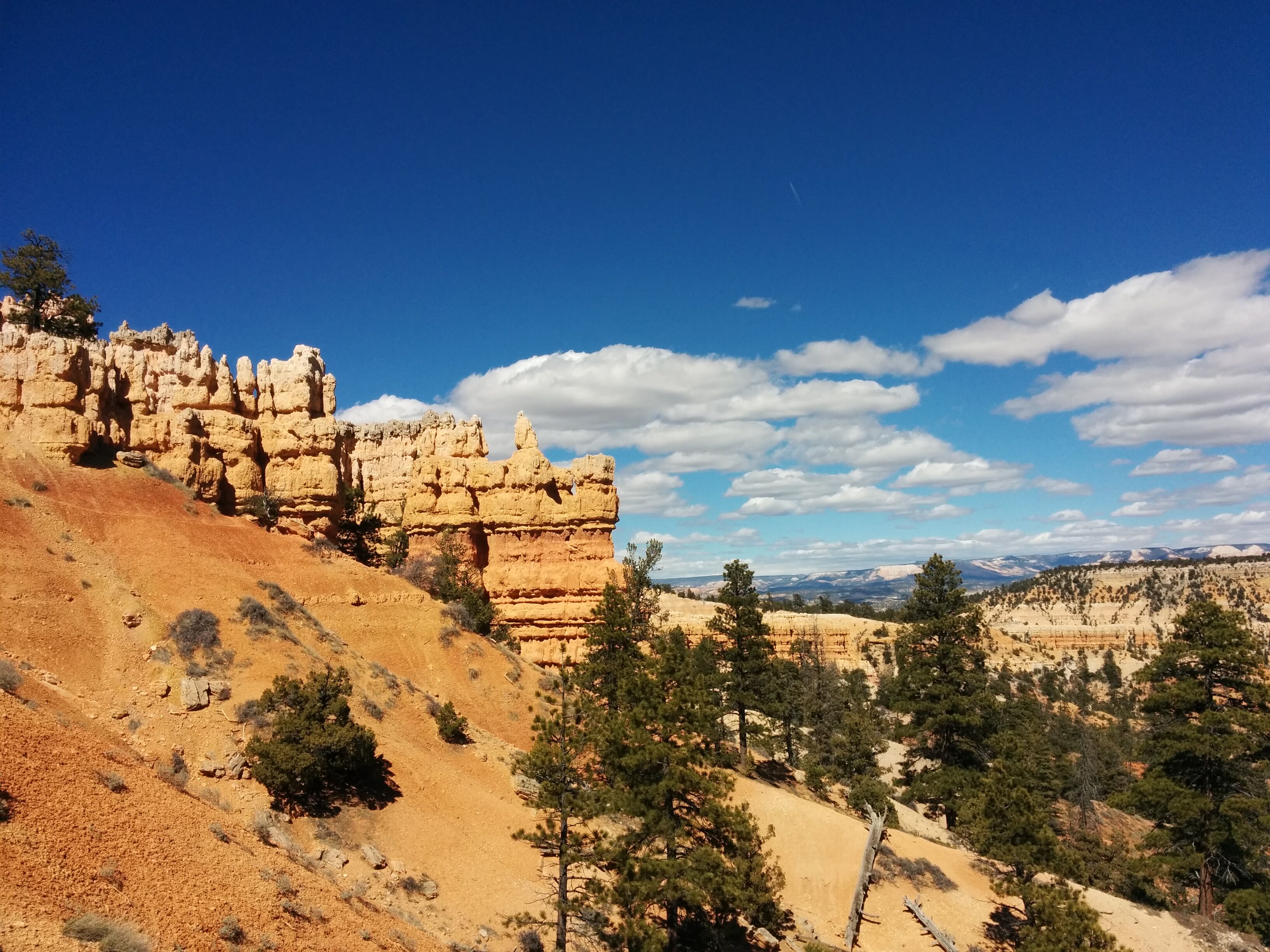
Photo credit: Y
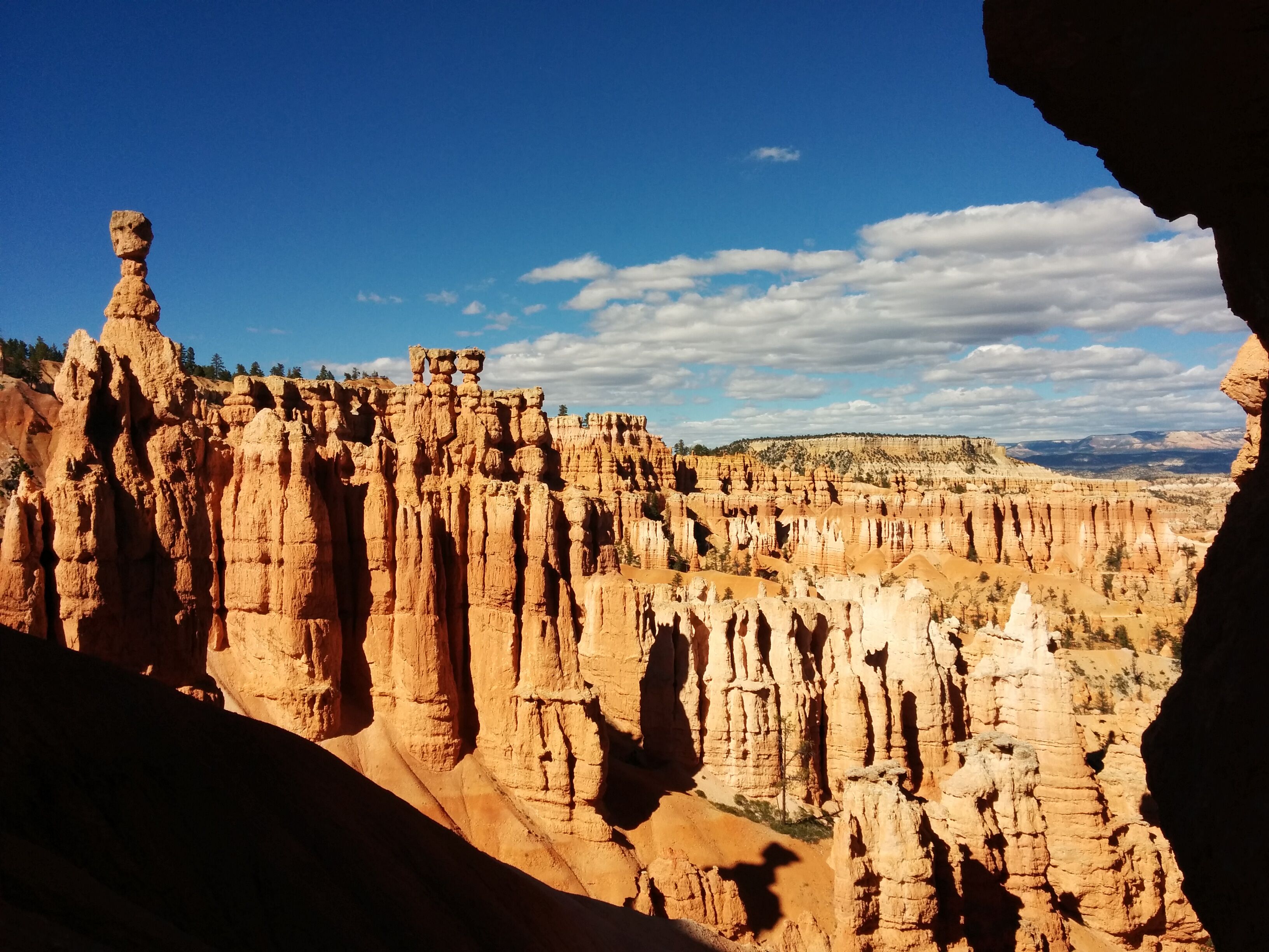
Photo credit: Y
Photo credit: Y
Photo credit: Y
The group of 3 weird Frenchies passes us going the other way, the woman looking miserable.
D picks up a piece of fossilized (unchewed) chewing gum. It tastes OK but doesn't really chew.
For Y, a sudden delight is spotting a random cluster of 5 little blue daisy-like flowers growing on an arid slope next to the trail. They're very cute and perky.
We discuss the protocols of greeting oncoming hikers after an over-zealous guy says "How's it going, gang?". Y's theory: more hikers, fewer greetings; she felt greetings were unwarranted on the Angel's Landing hike. D's theory: the older the hiker, the more the greeting.
We enjoy self-soft-serve ice cream at the Sunrise store, then drive to Sunset point, which overlooks the Bryce Amphitheater, an especially scenic area. We walk a few hundred yards down the Navajo trail, a heavily-paved tourist trail, but still interesting.
We drive to Escalante and check into the Cowboy motel, which is kind of cutesy. Each room has a theme; we're in the "Aztec Room", which is tiny, cave-like, and filled with artifacts which in fact are not Aztec at all. The window heating unit is even louder, and blows a disturbing wind throughout the room. D tries covering it with a towel. We end up getting extra blankets and not using it.
We eat at Escalante Outfitters, a store with attached restaurant, on a deck with disturbingly loud blues music which I ask them to turn down. The pizza - another veggie combo - is large but ultimately disappointing. We both get some kind of Organic Ale which is flat and unappealing. Y doesn't like the pizza's sourdough crust. We wrap up half of it but it gets unintentionally left in the fridge the next day.
Wednesday 20 April
D sleeps a bit poorly because of high-altitude nasal congestion, unplugs from CPAP. Y suggests drinking more water.
We go to the "Natural Grocery" across the street, which is a faux-groovy place, kind of incongruous in a place like Escalante. We get coffee, scones, bananas, and banana bread.
We drive out of town and down the Hole in the Rock road (unpaved, corrugated) to the Devil's Garden, a complex of especially unusual, sculpture-like hoodoos. We wander across an expanse of red sandstone. D makes a small stone spiral. The place is (initially) empty and has a wonderfully mystical and slightly creepy feel. Y finds it peaceful and meditative.
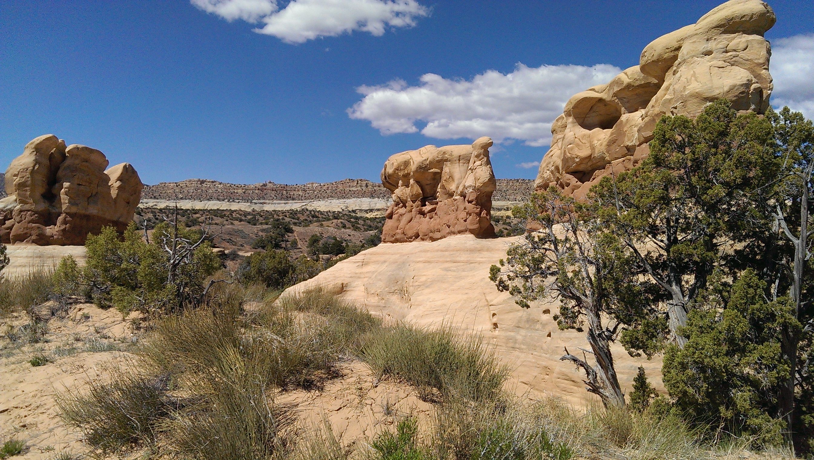
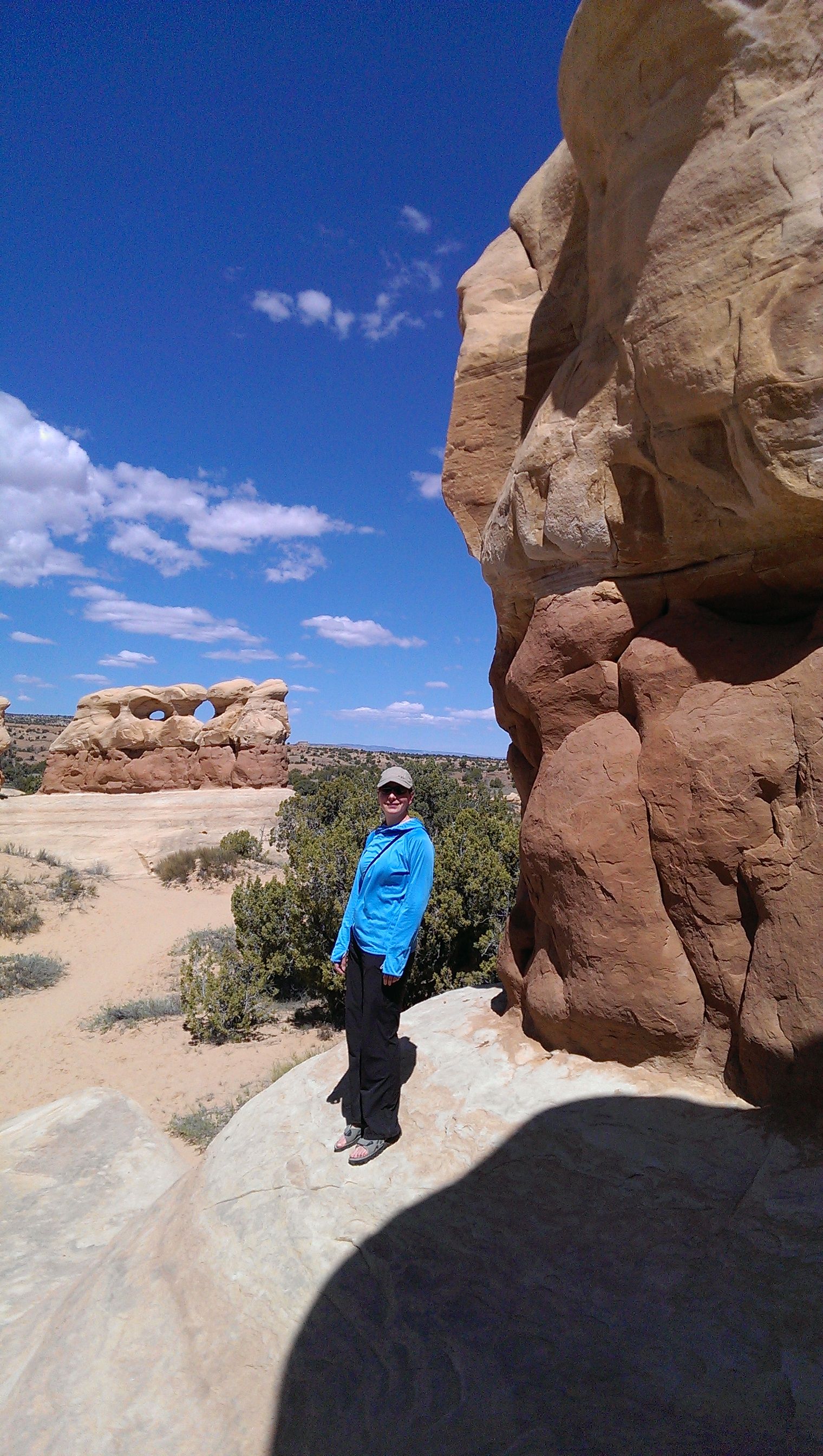
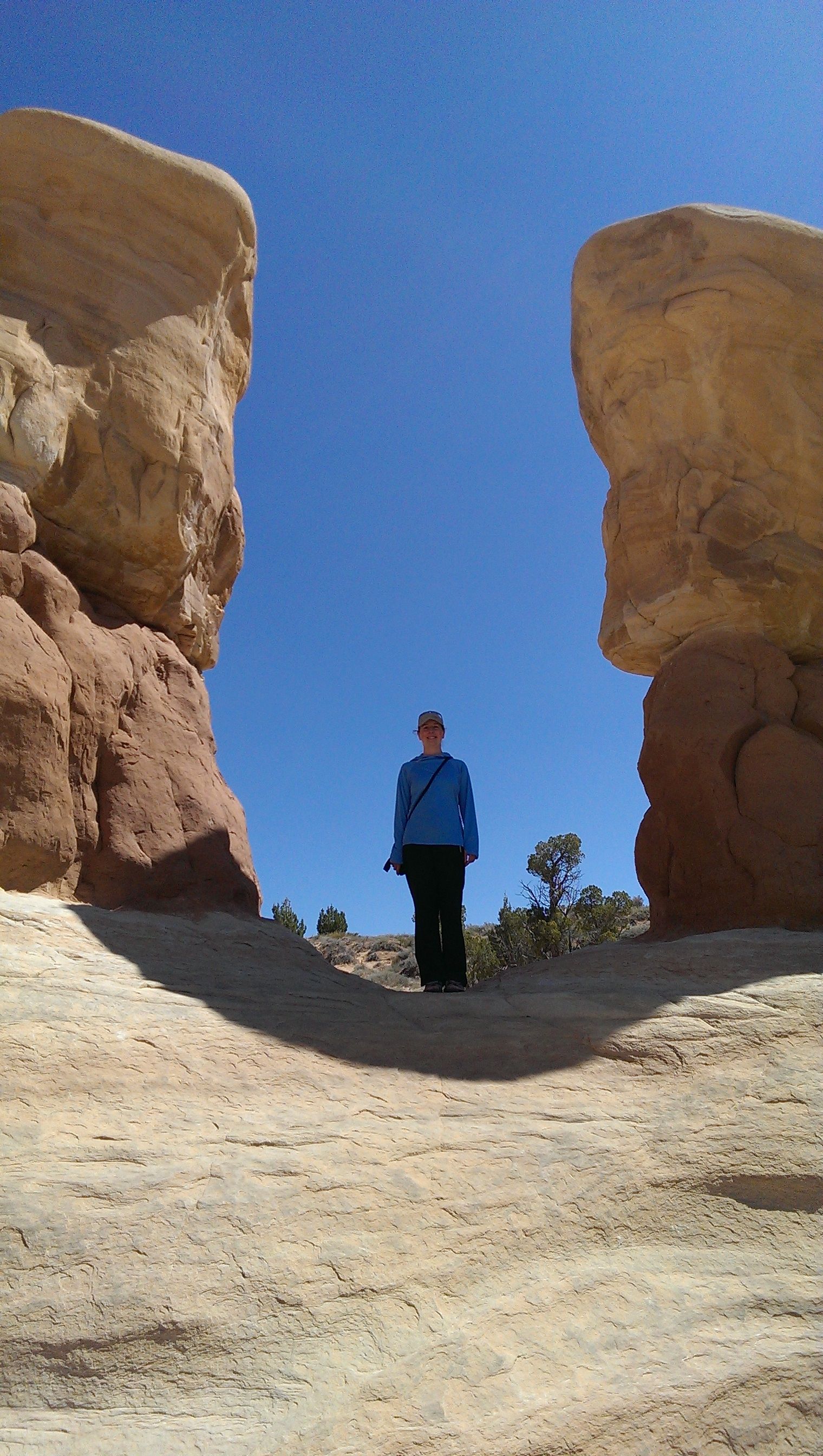
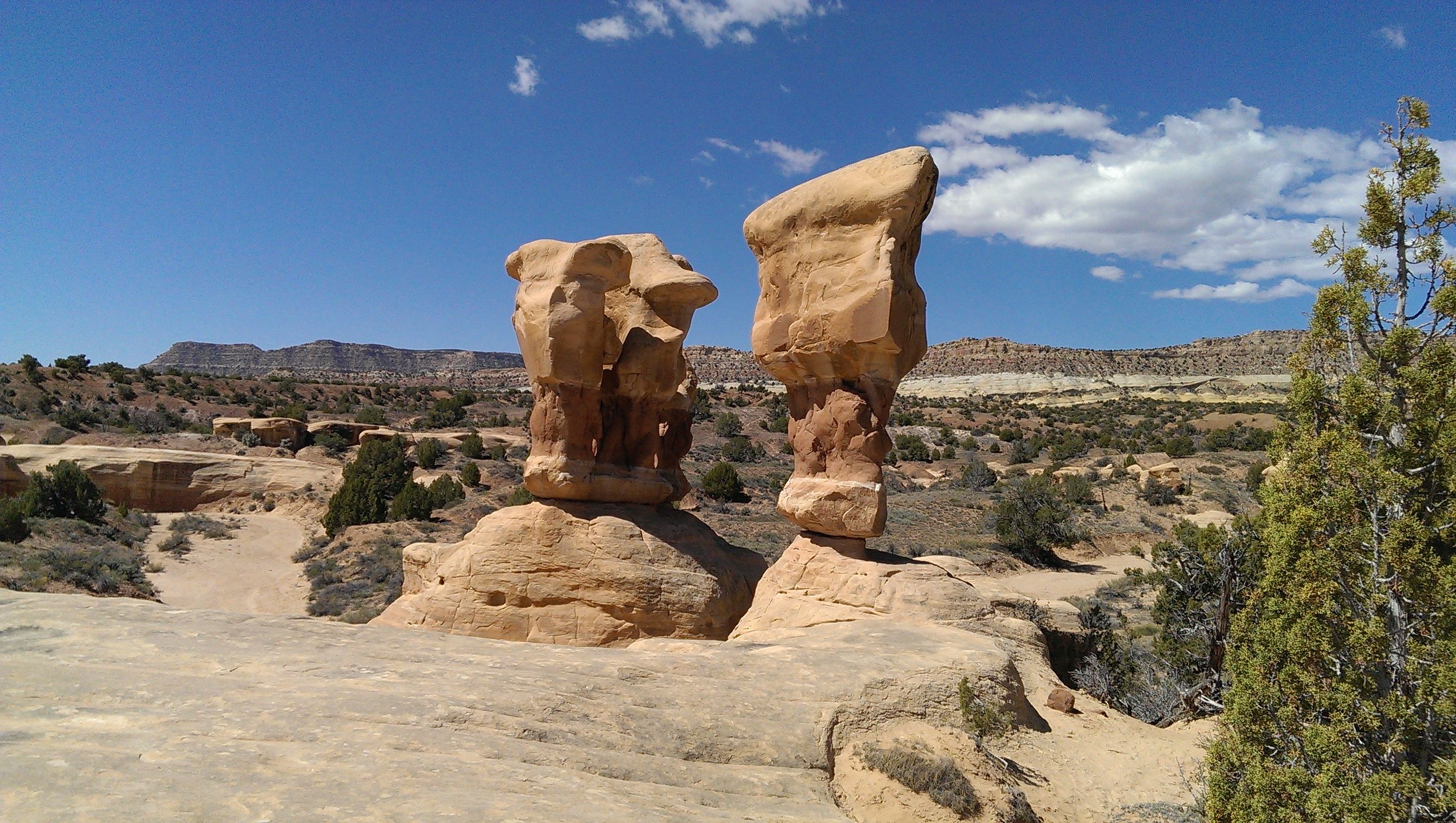
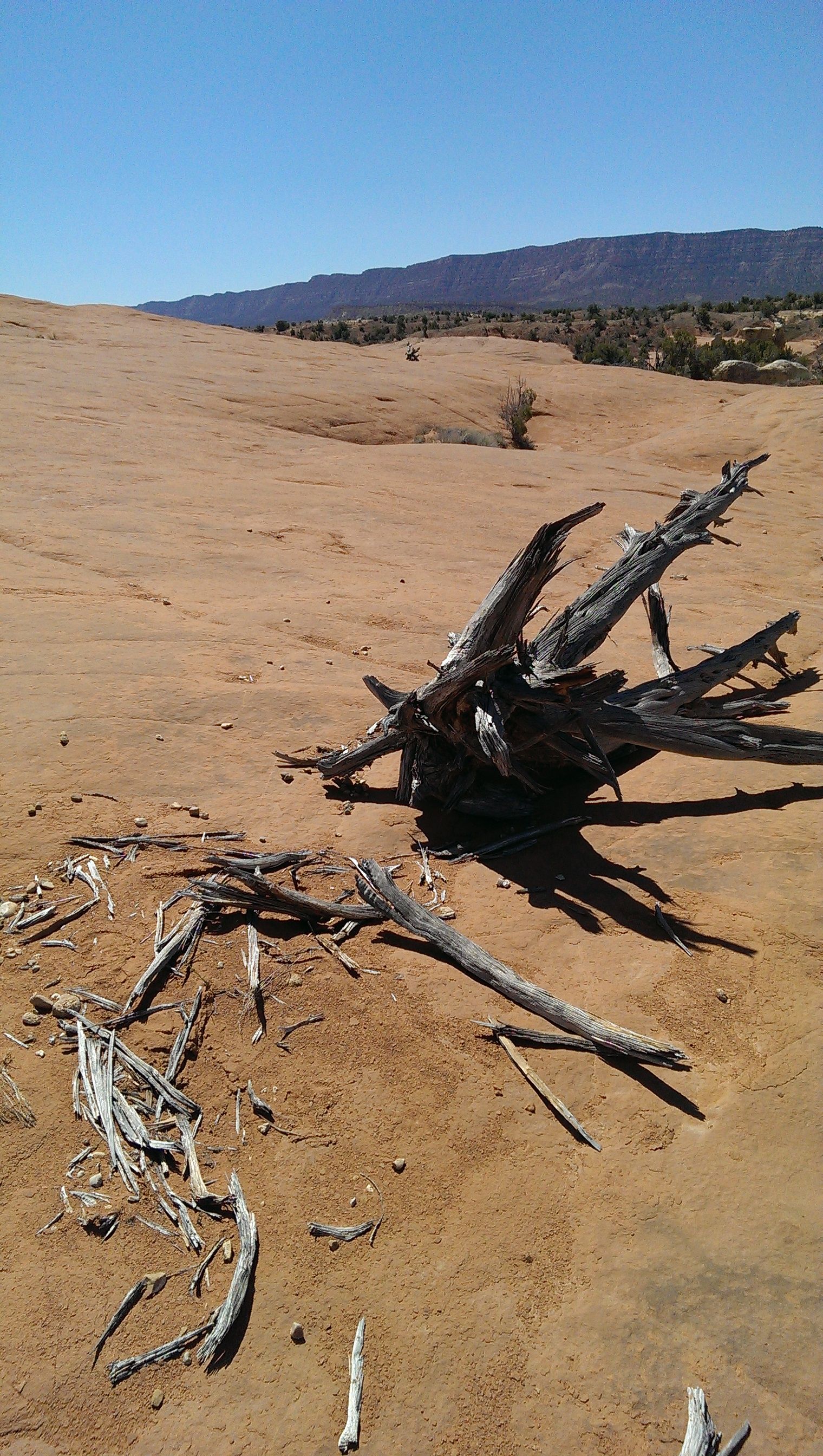
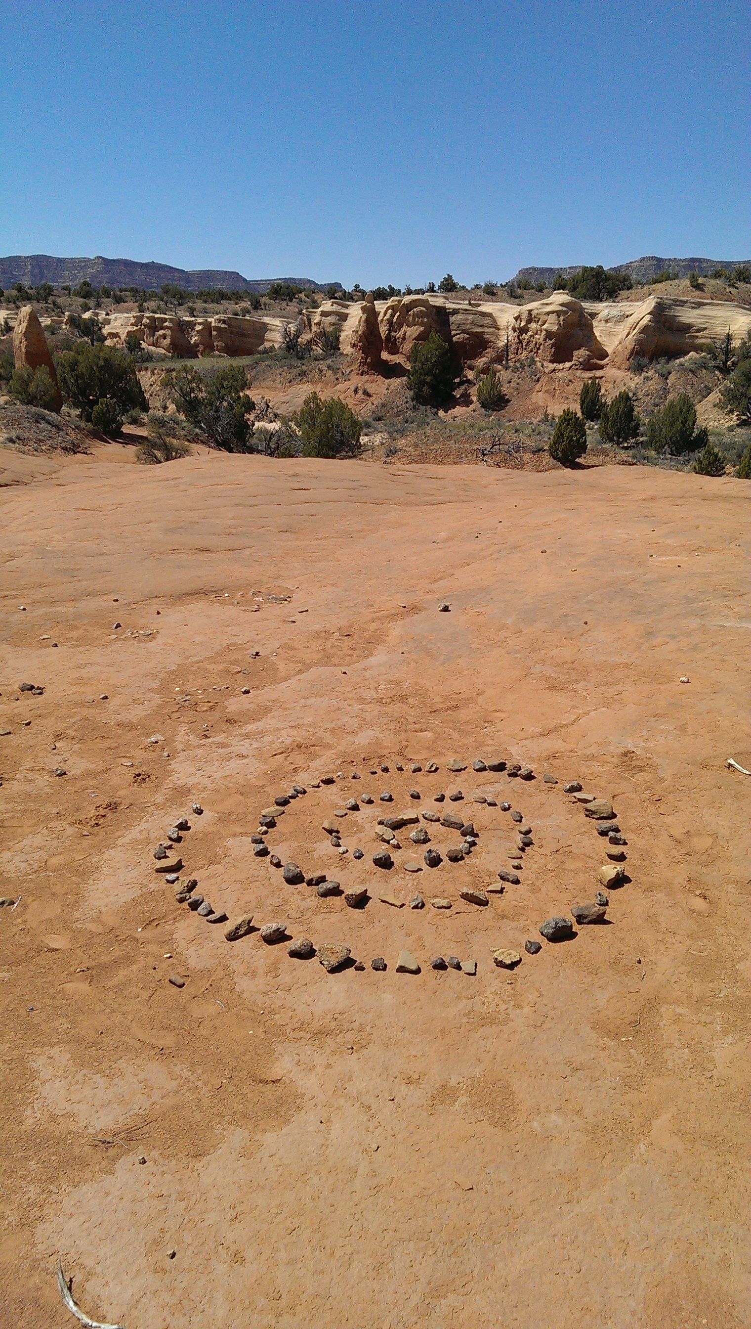
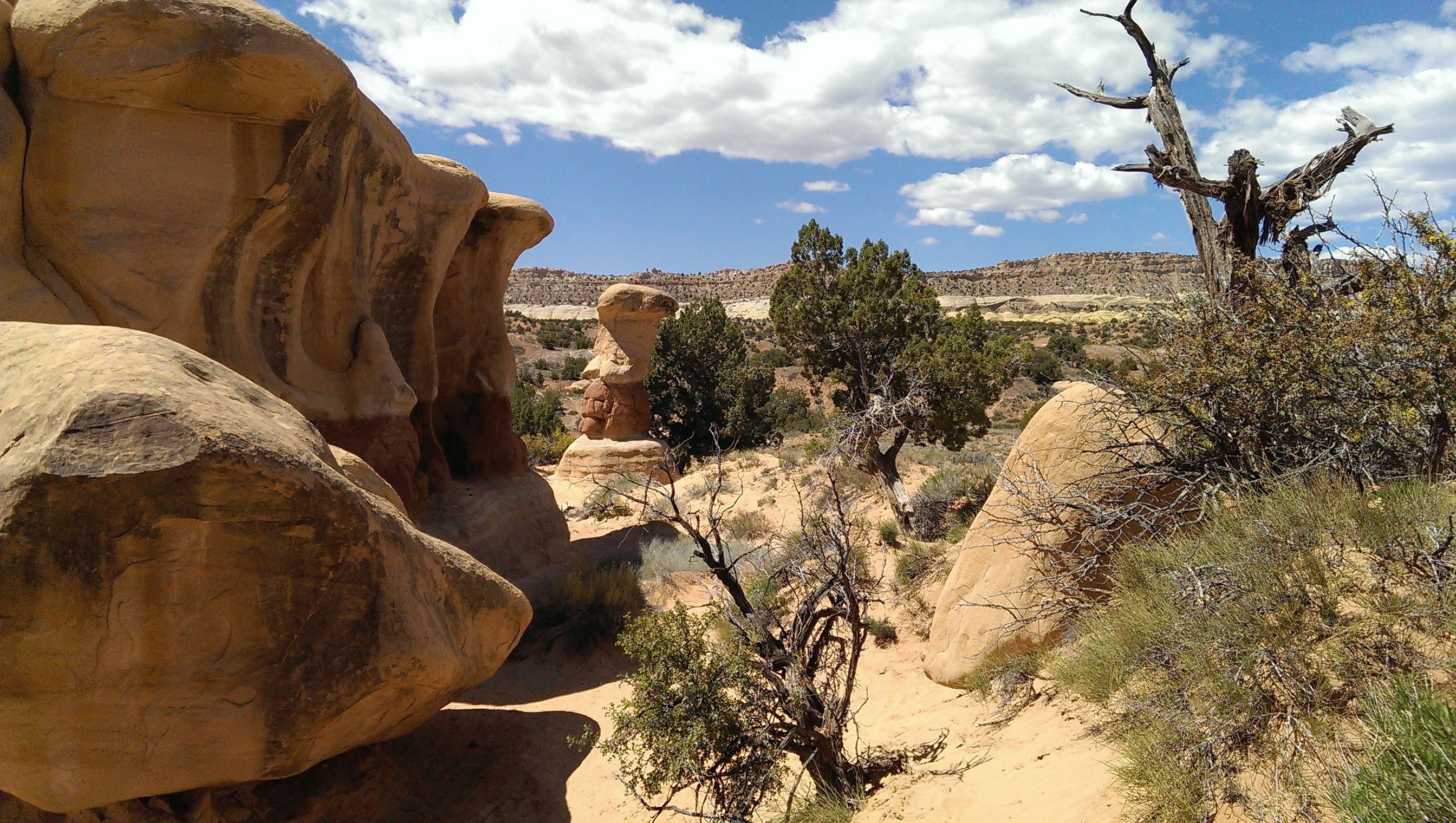
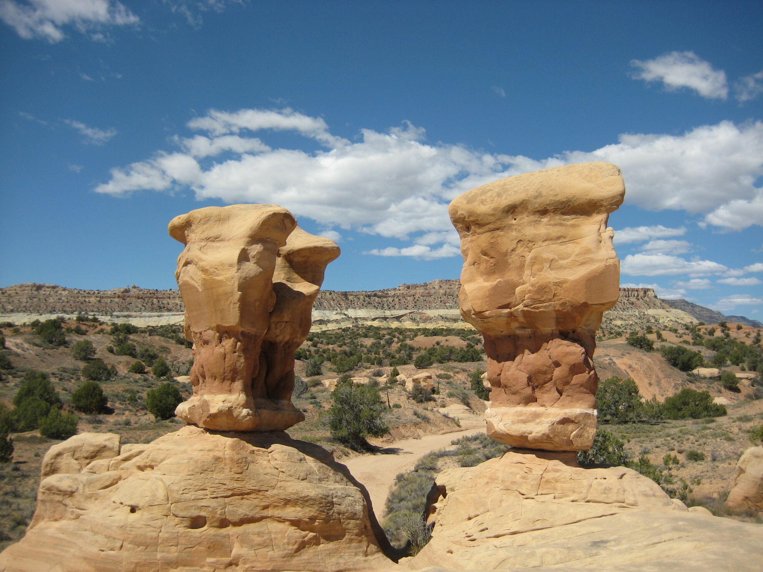
Photo credit: Y
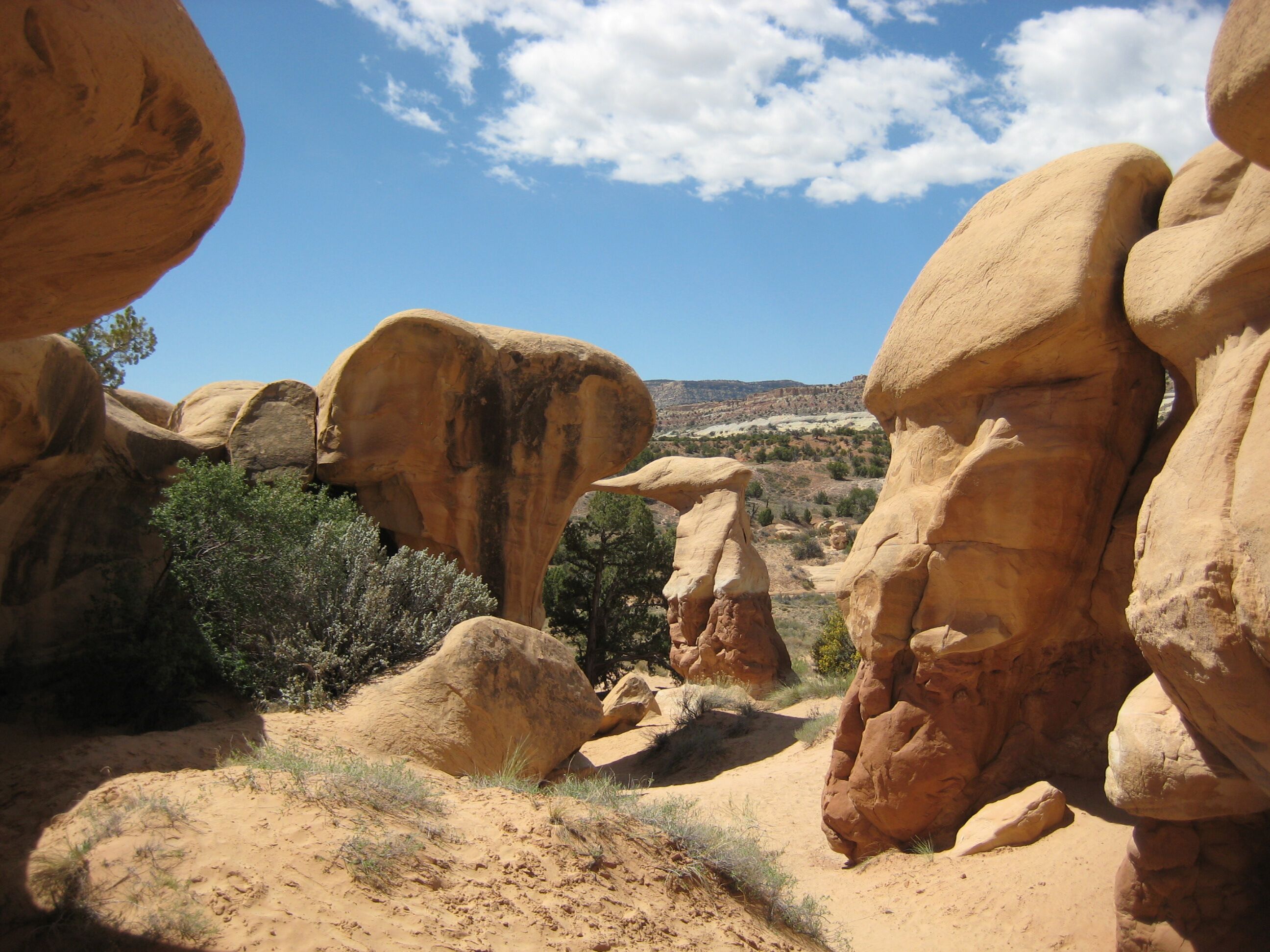
Photo credit: Y
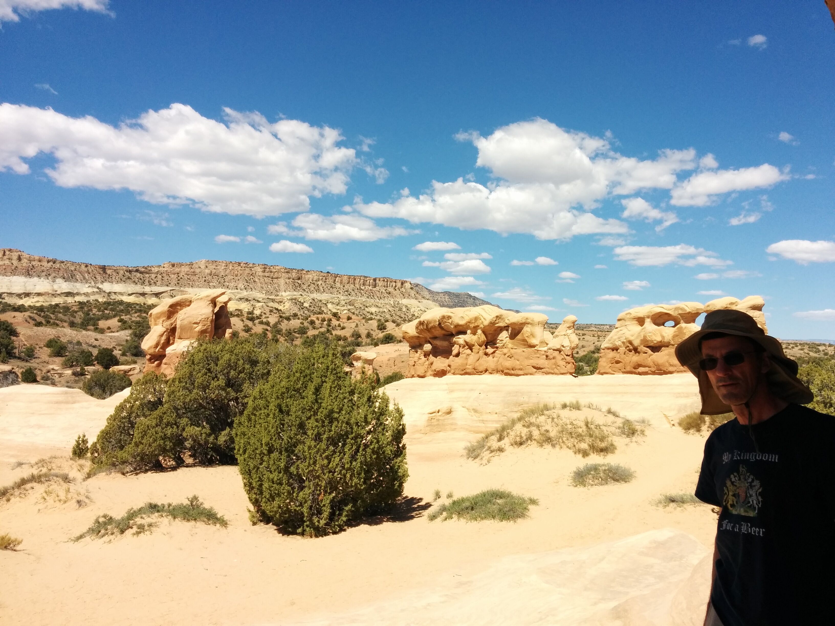
Photo credit: Y
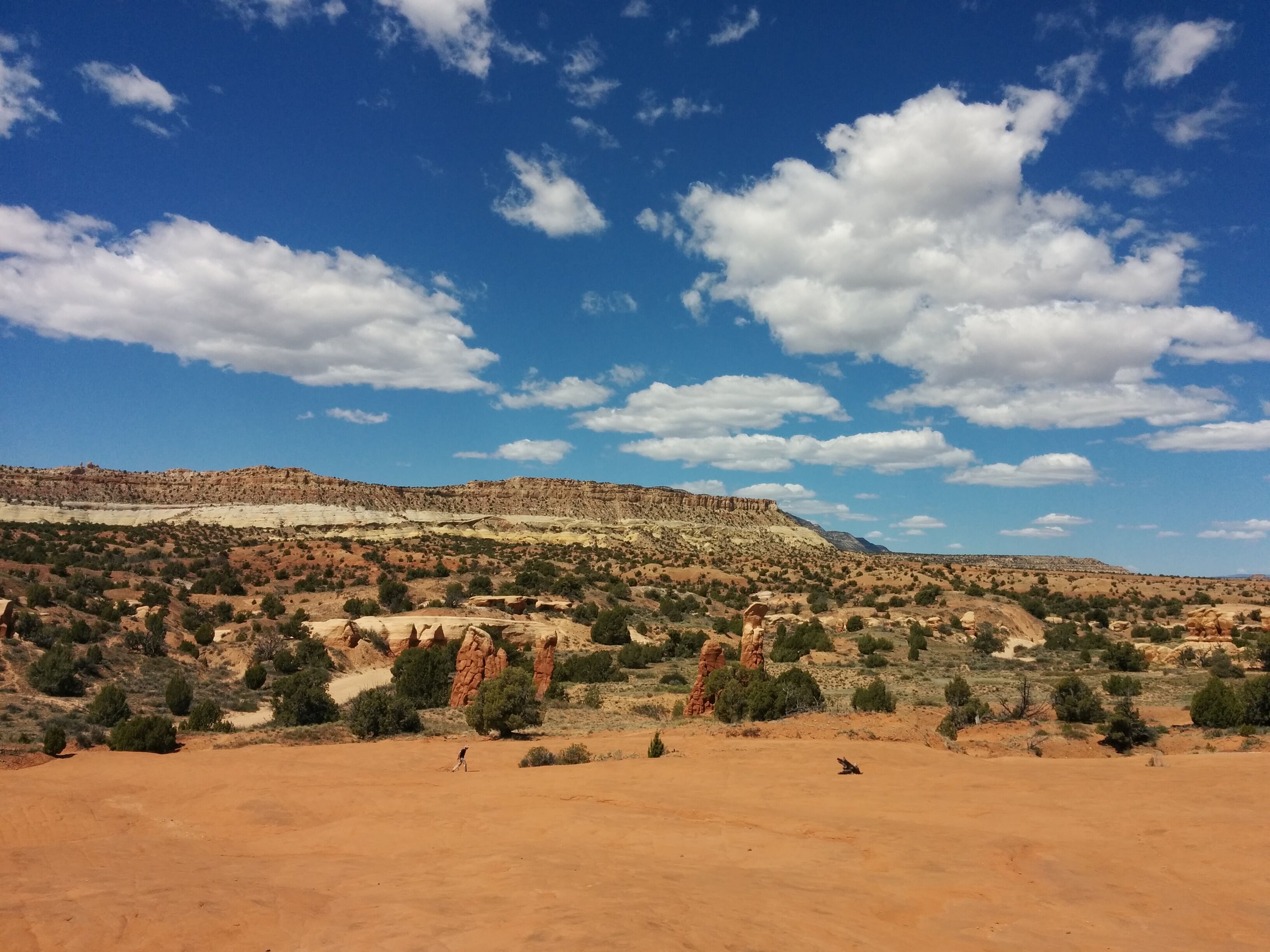
Photo credit: Y
We get back on Hwy 12 and drive to the bridge over the Escalante River. We stop at the Kiva Cafe, an extremely groovy place in the middle of nowhere built on a bluff with an amazing view. We get coffee/chai and pastries, which take an amazingly long time to arrive.
We continue to the Little Calf Creek Falls trailhead. A 2.5 mile trail along a river, with giant cliffs on both sides, leads to a beautiful 100' waterfall with its own beach. A petroglyph depicts 3 human figures.
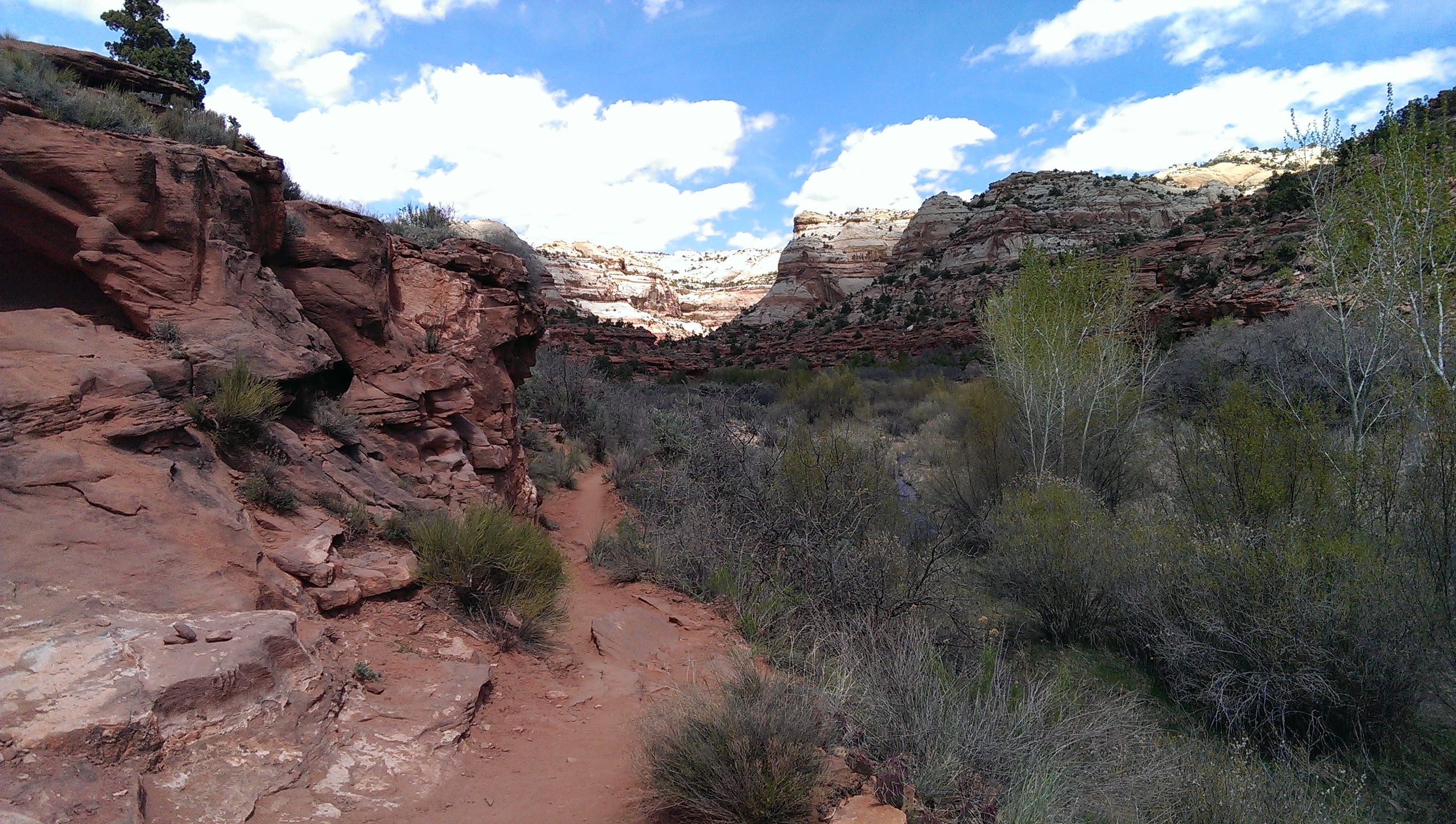
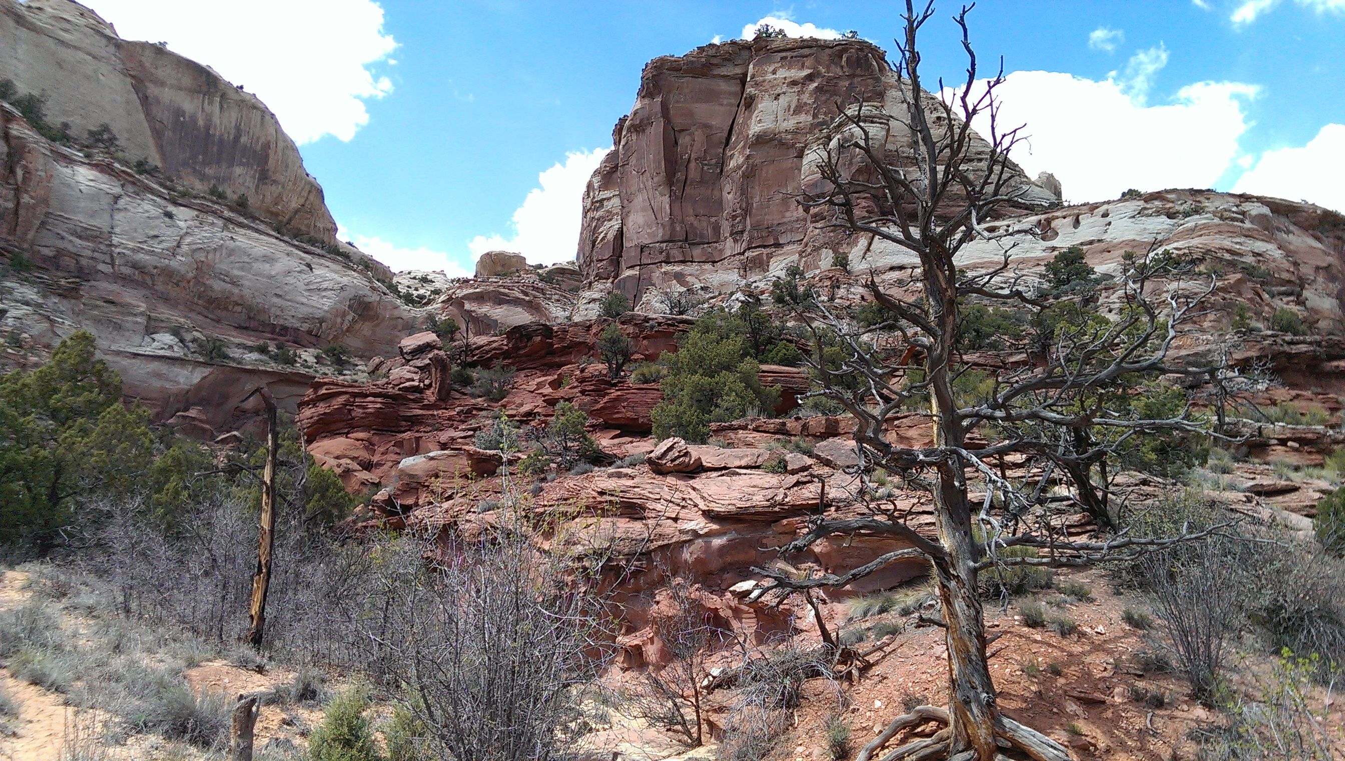
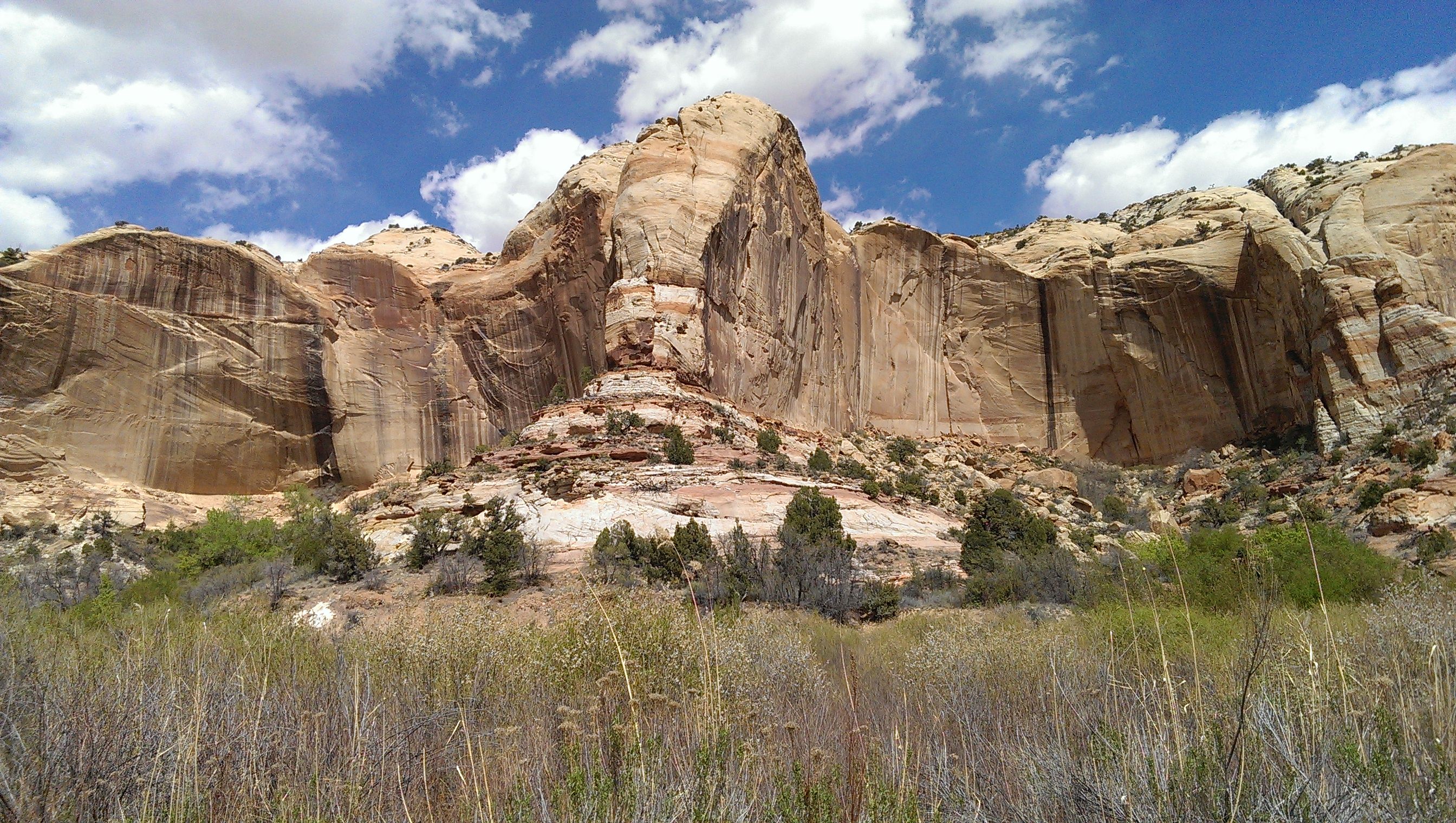
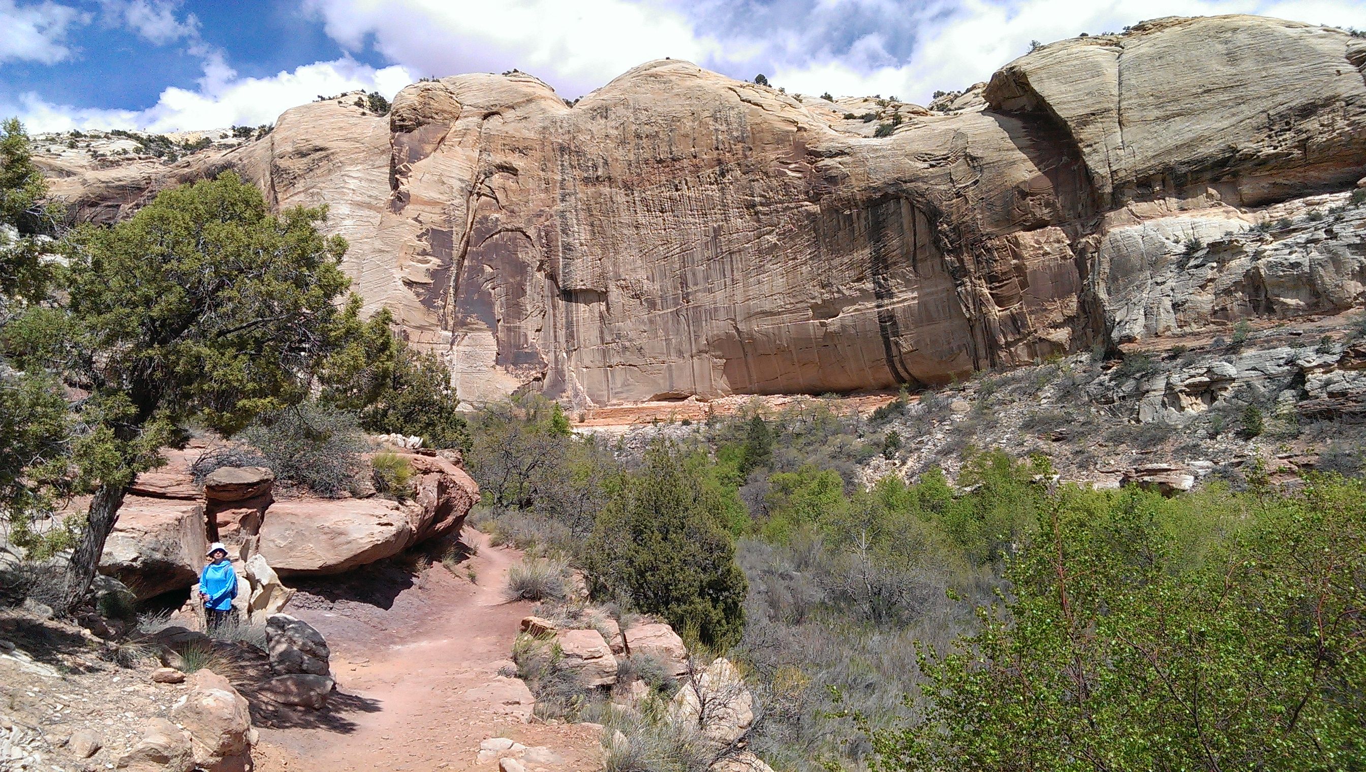
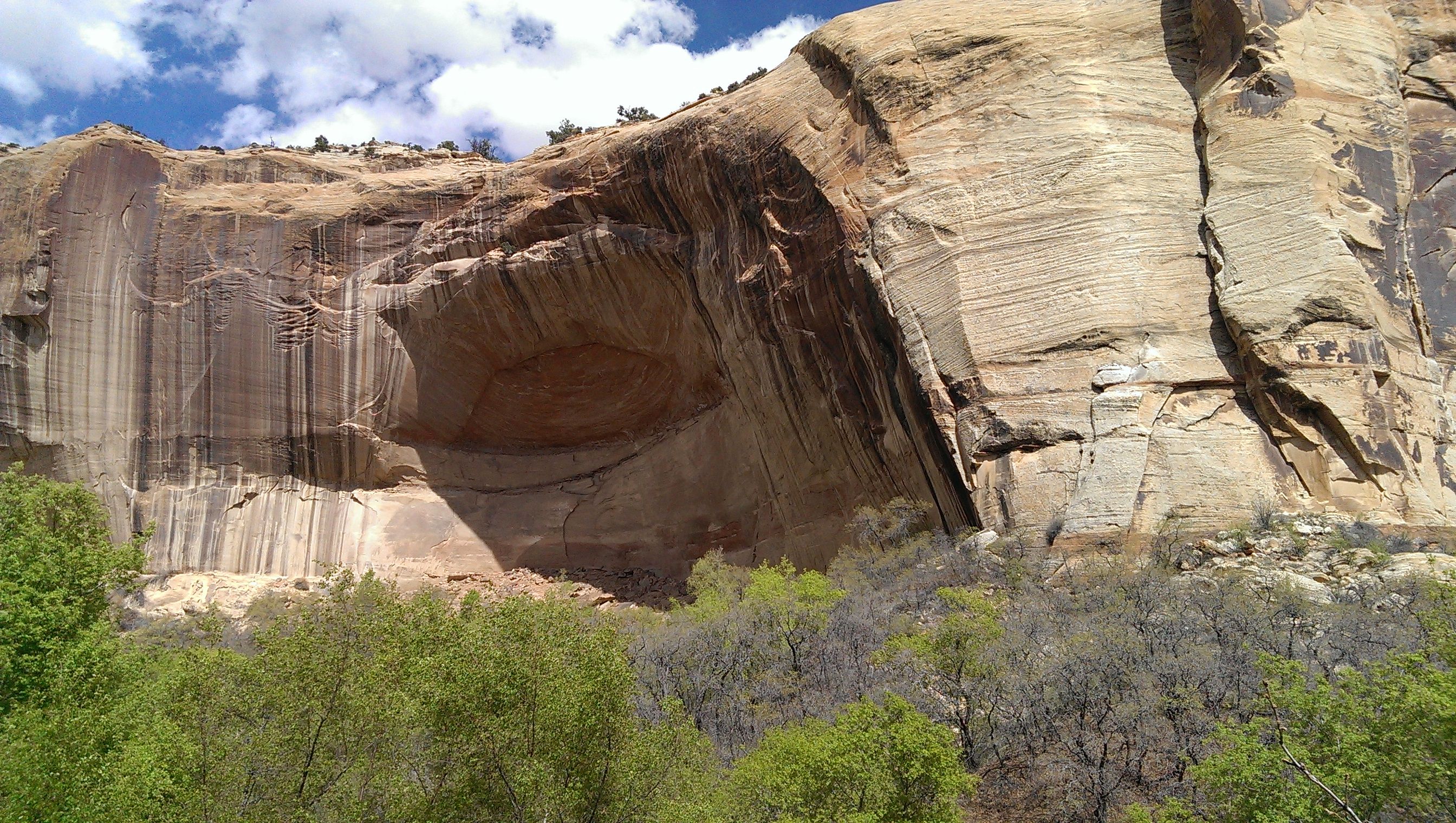
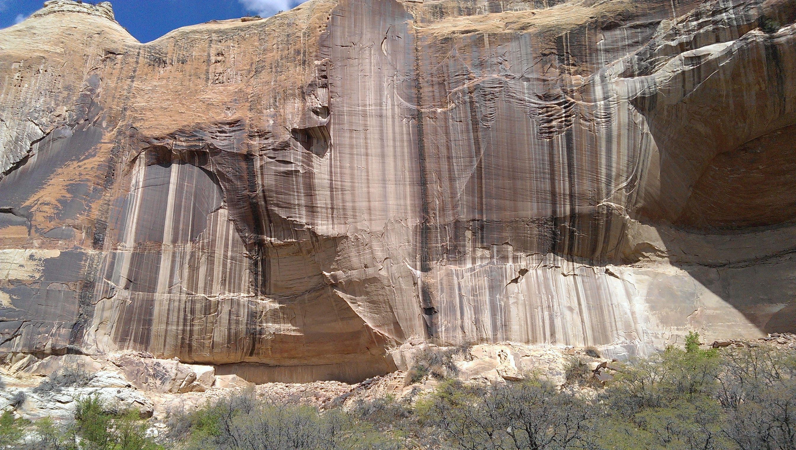
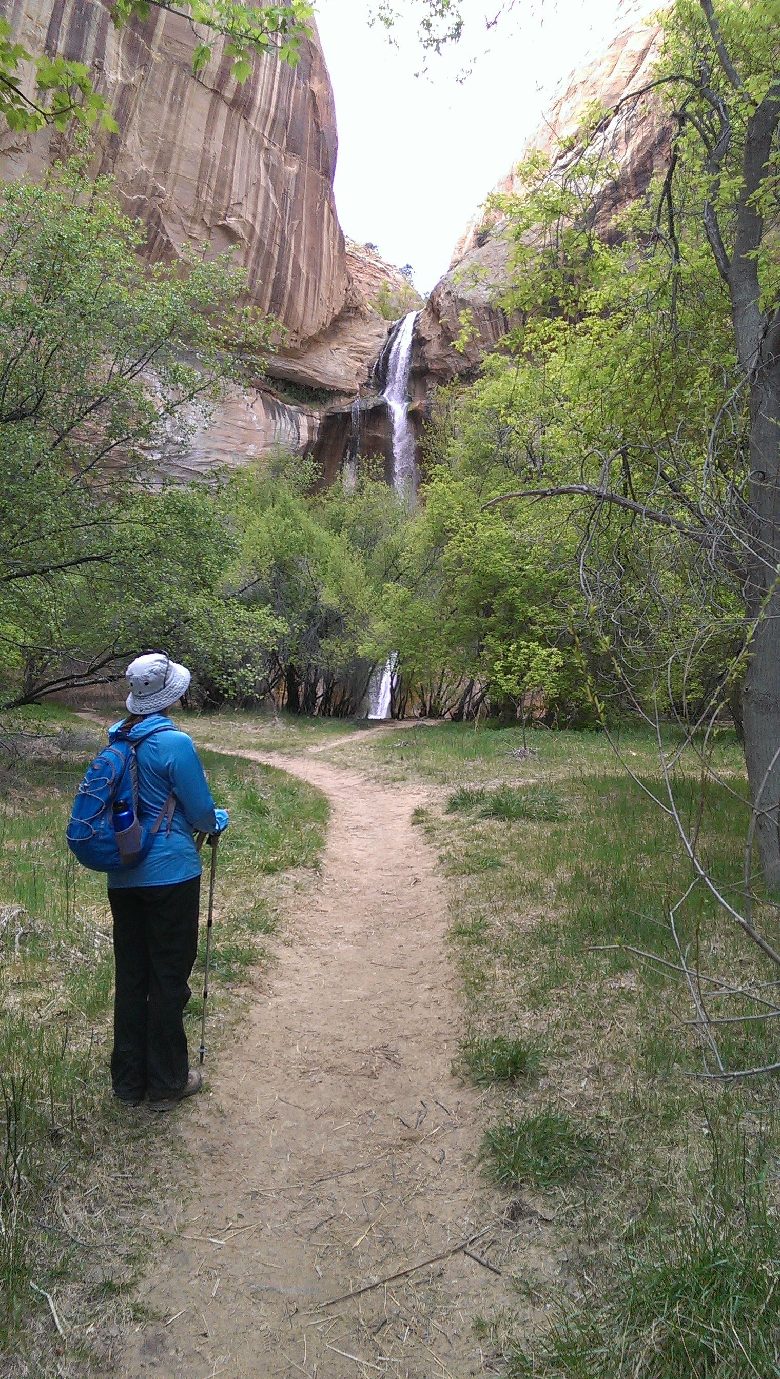
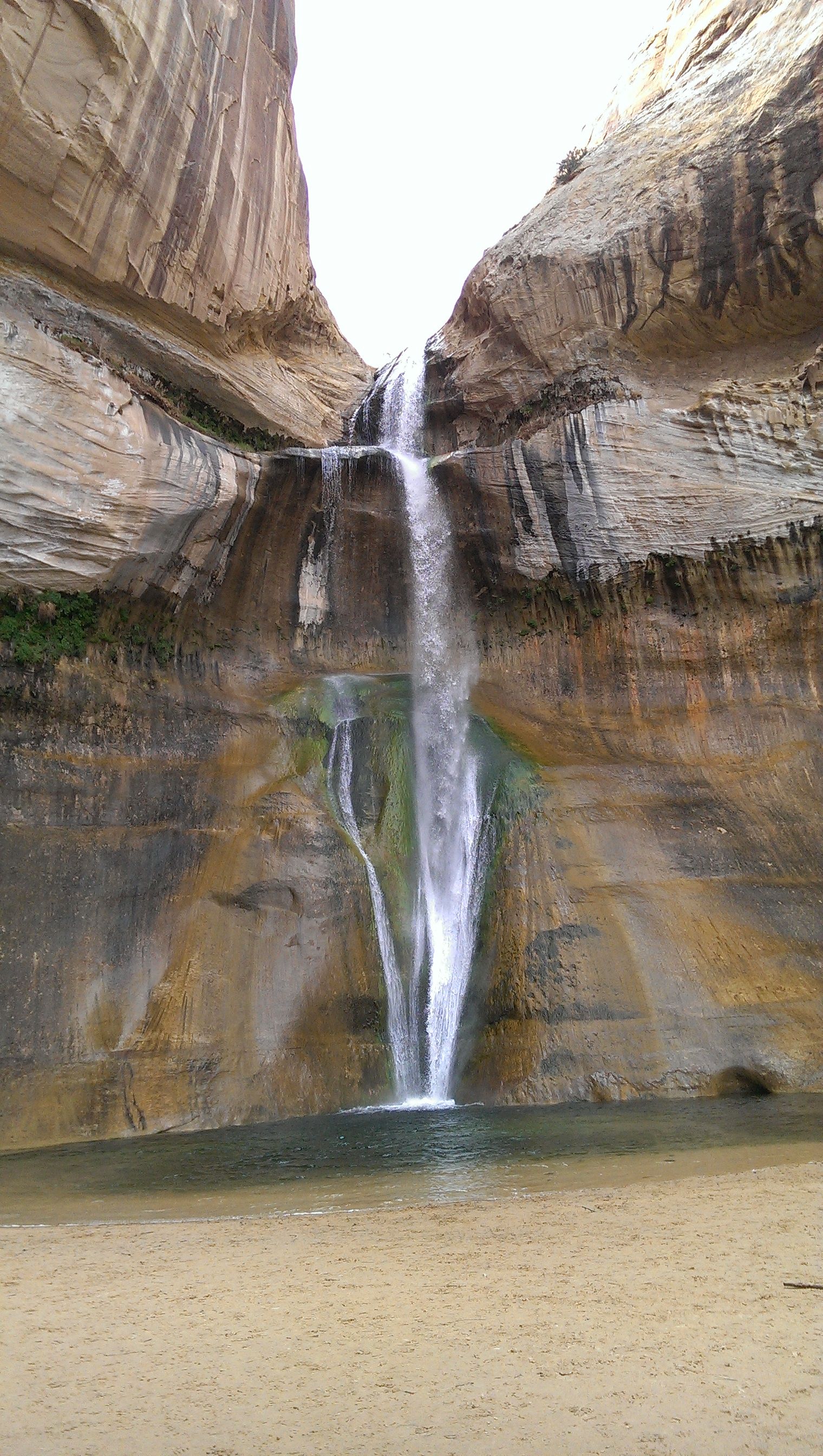
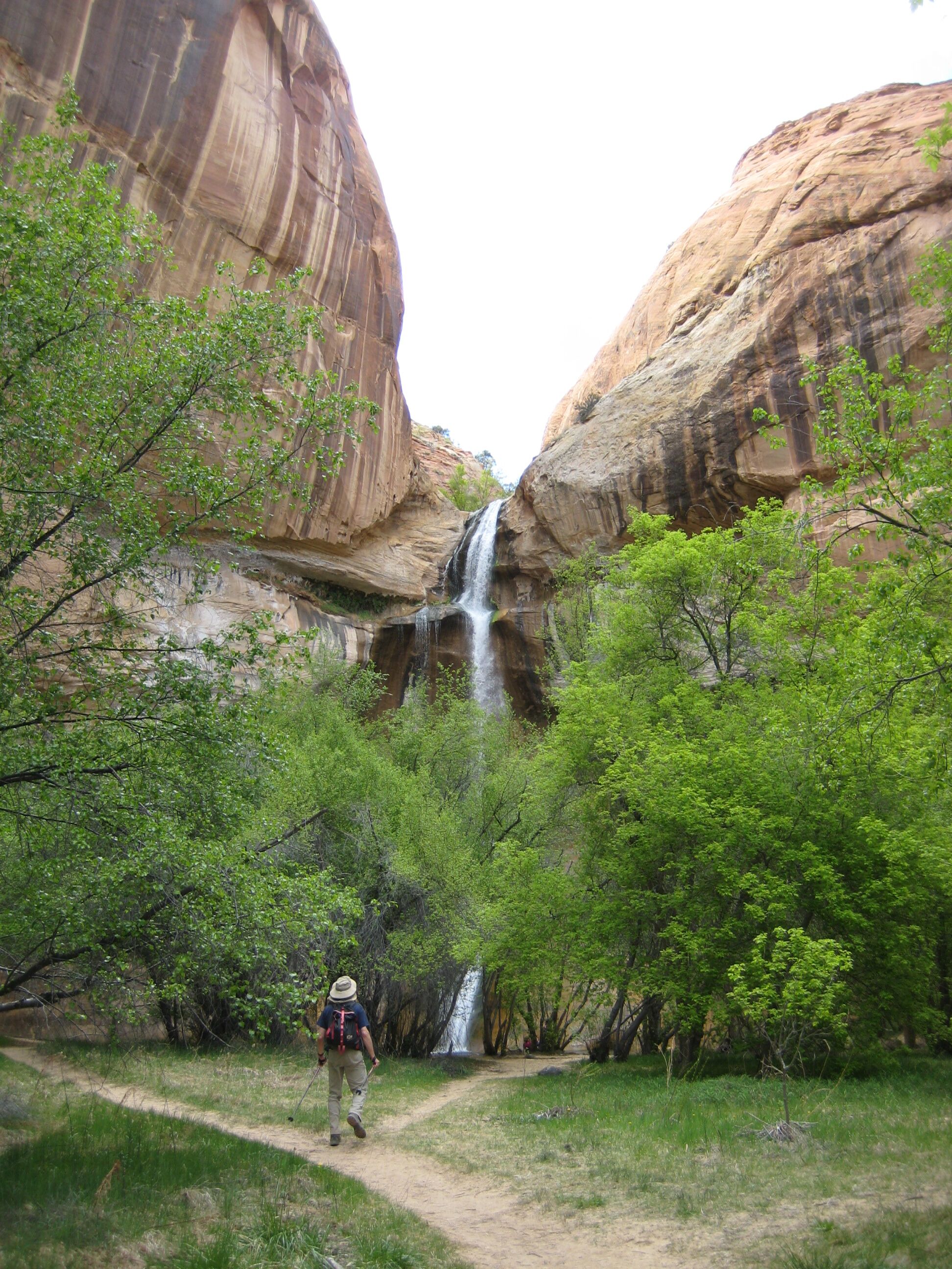
Photo credit: Y
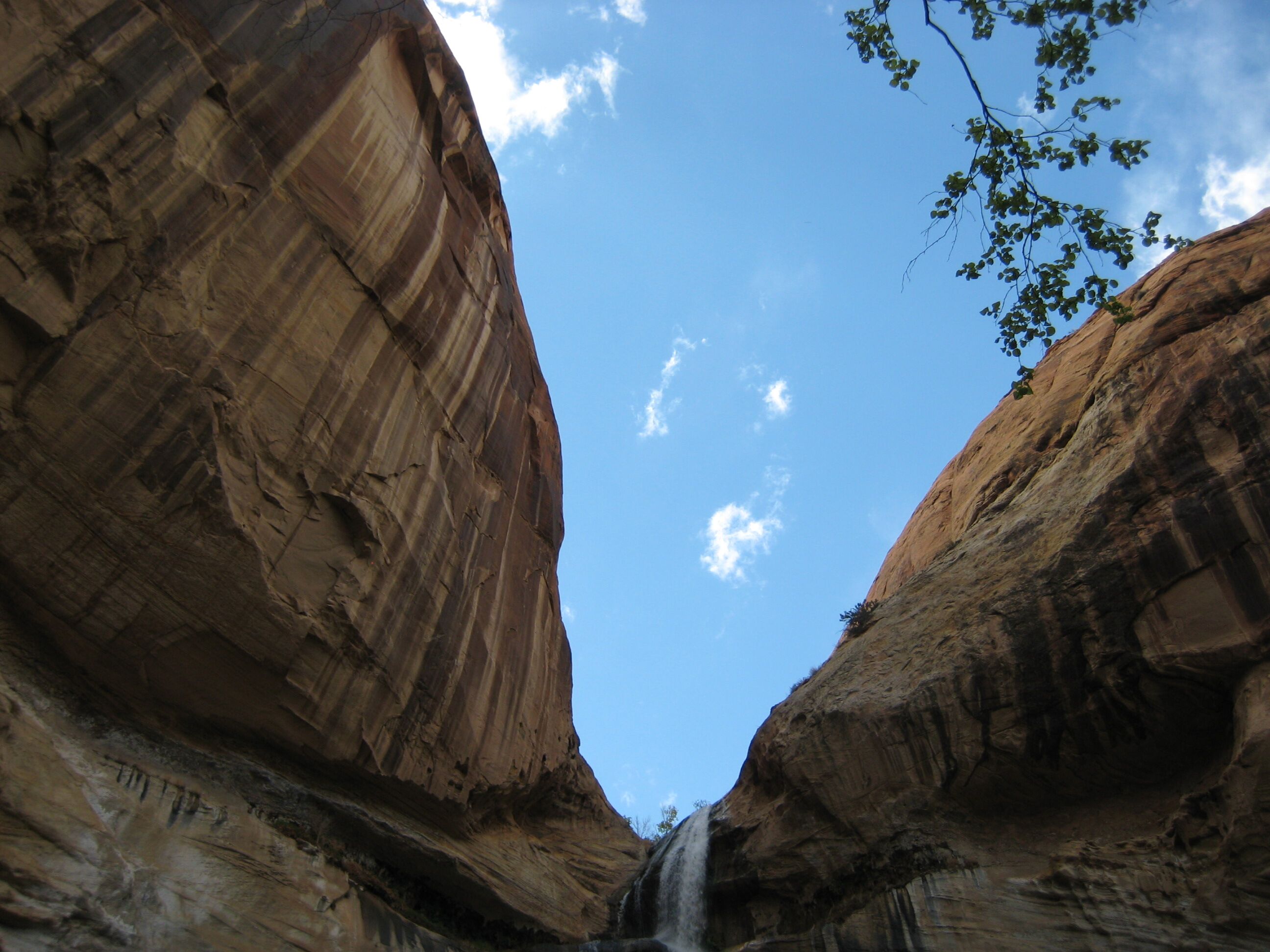
Photo credit: Y
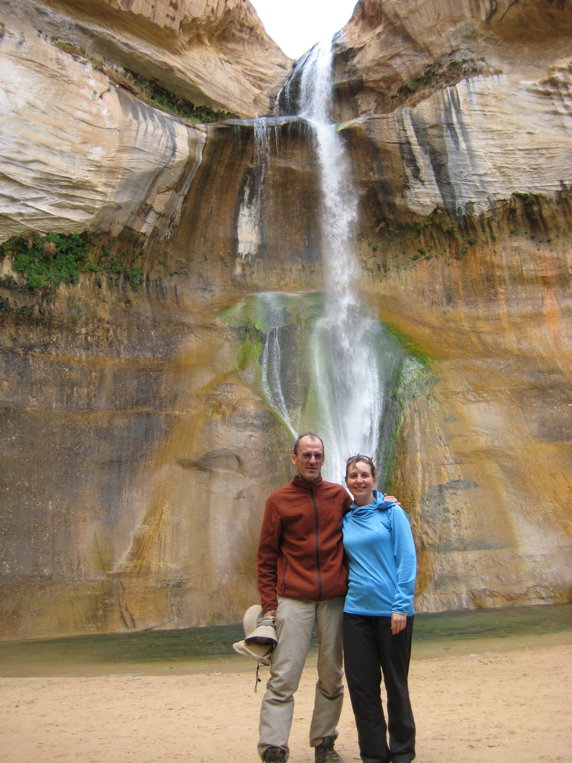
Photo credit: Y
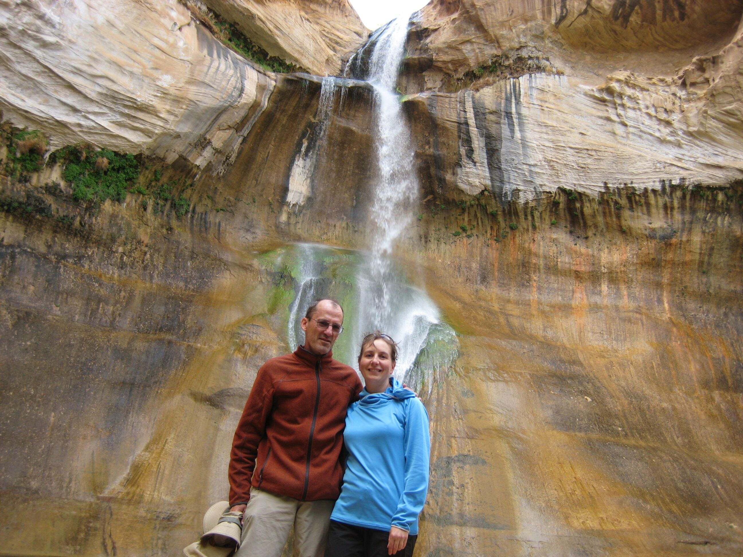
Photo credit: Y
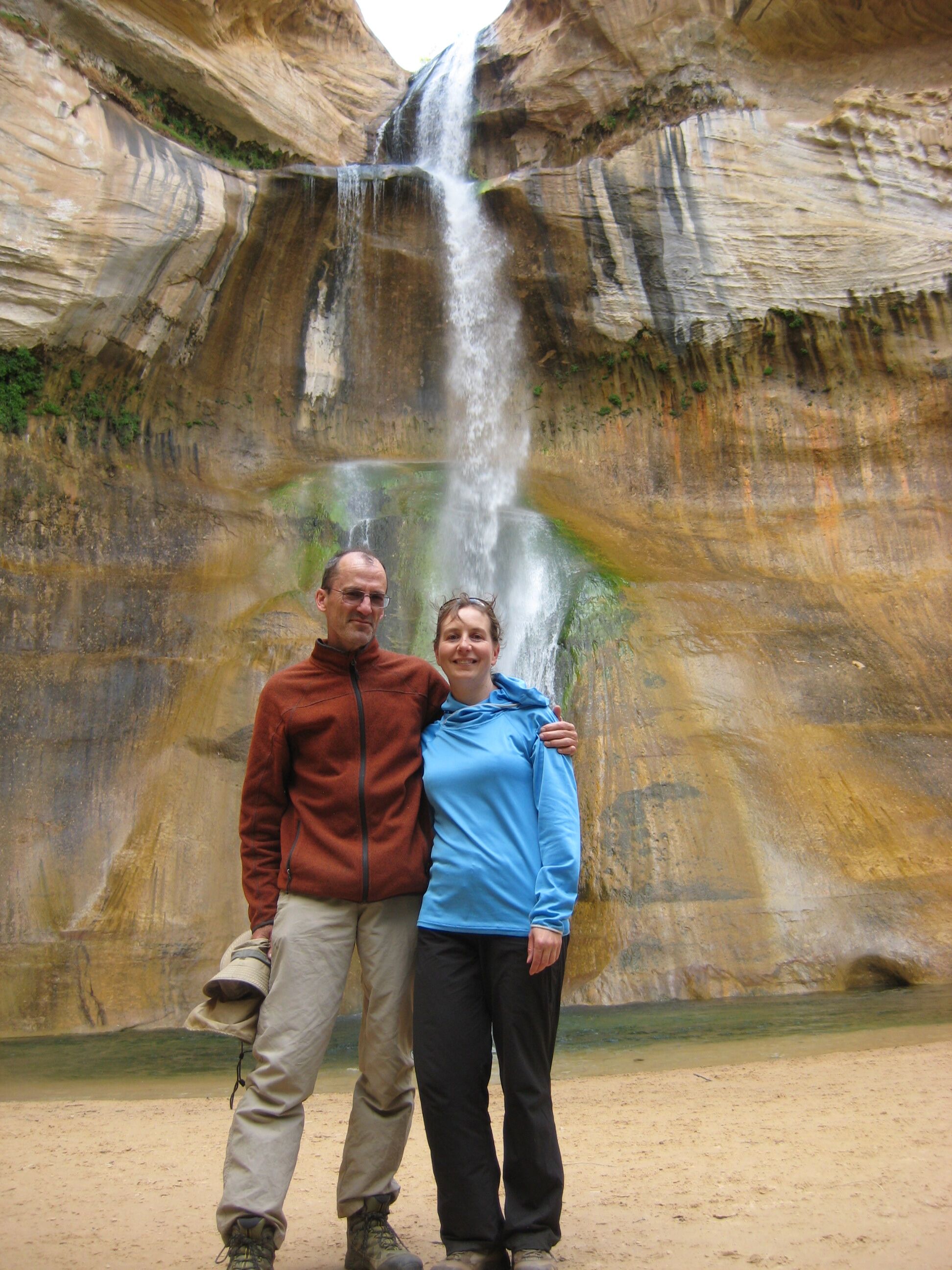
Photo credit: Y
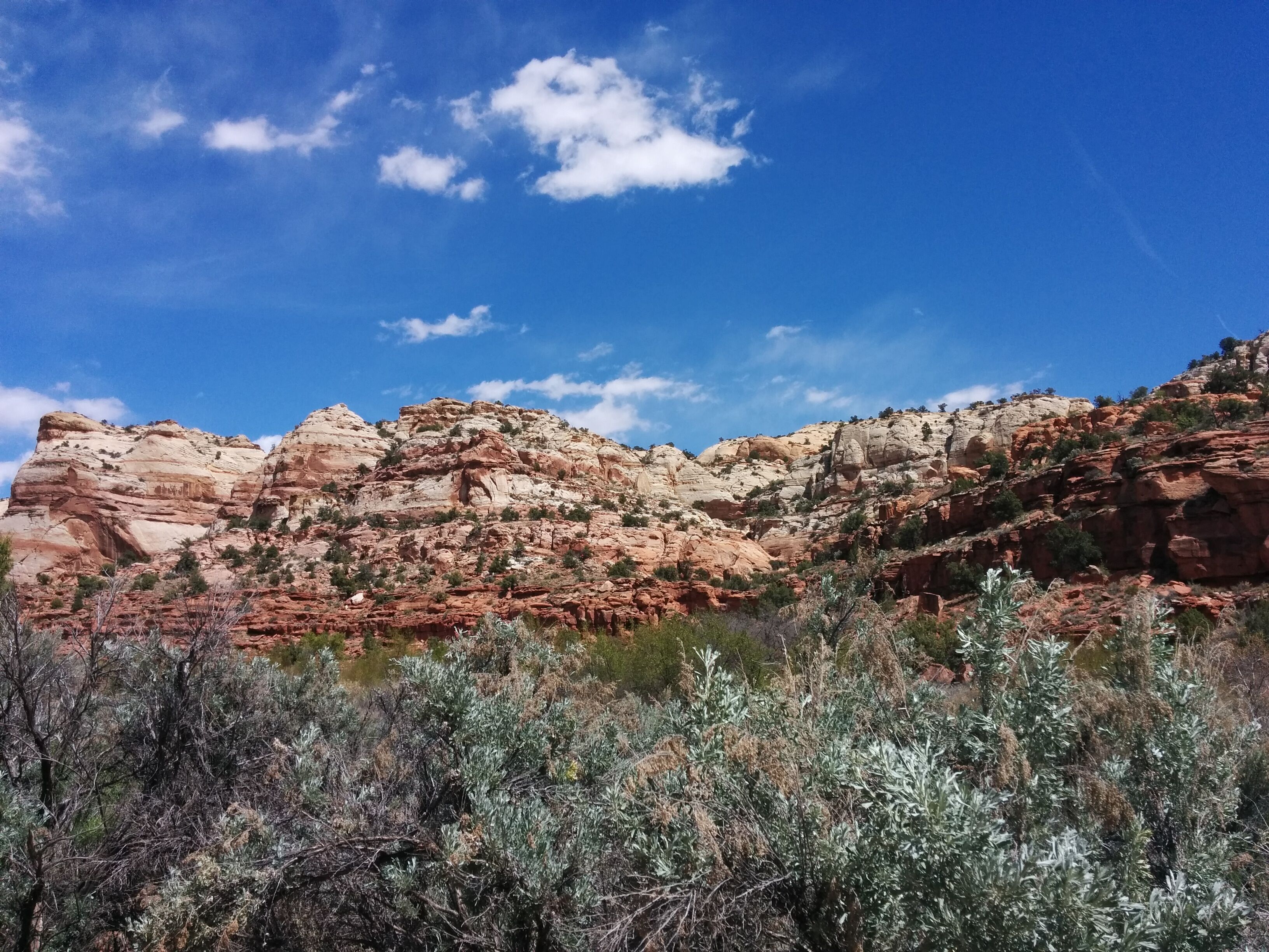
Photo credit: Y
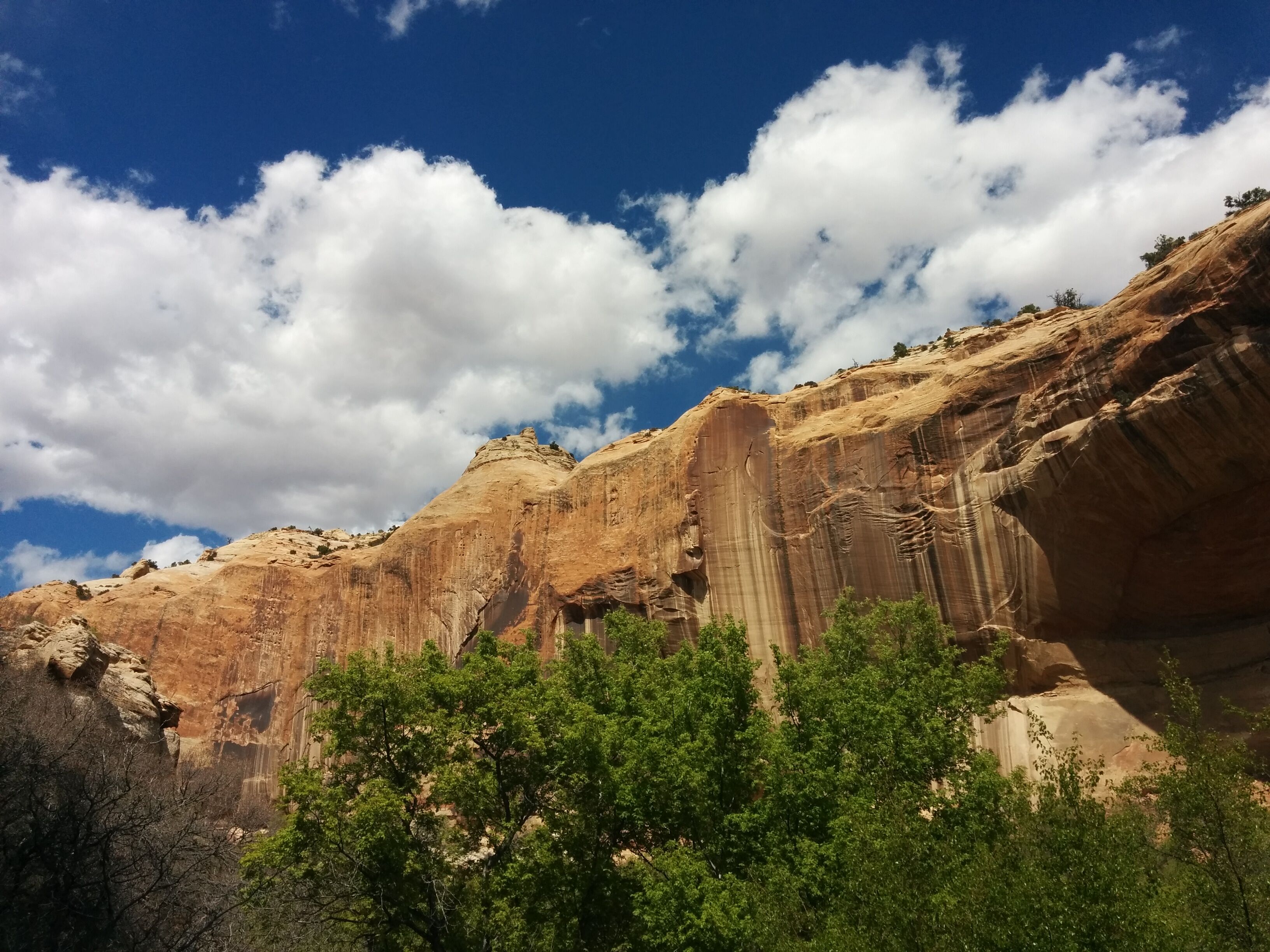
Photo credit: Y
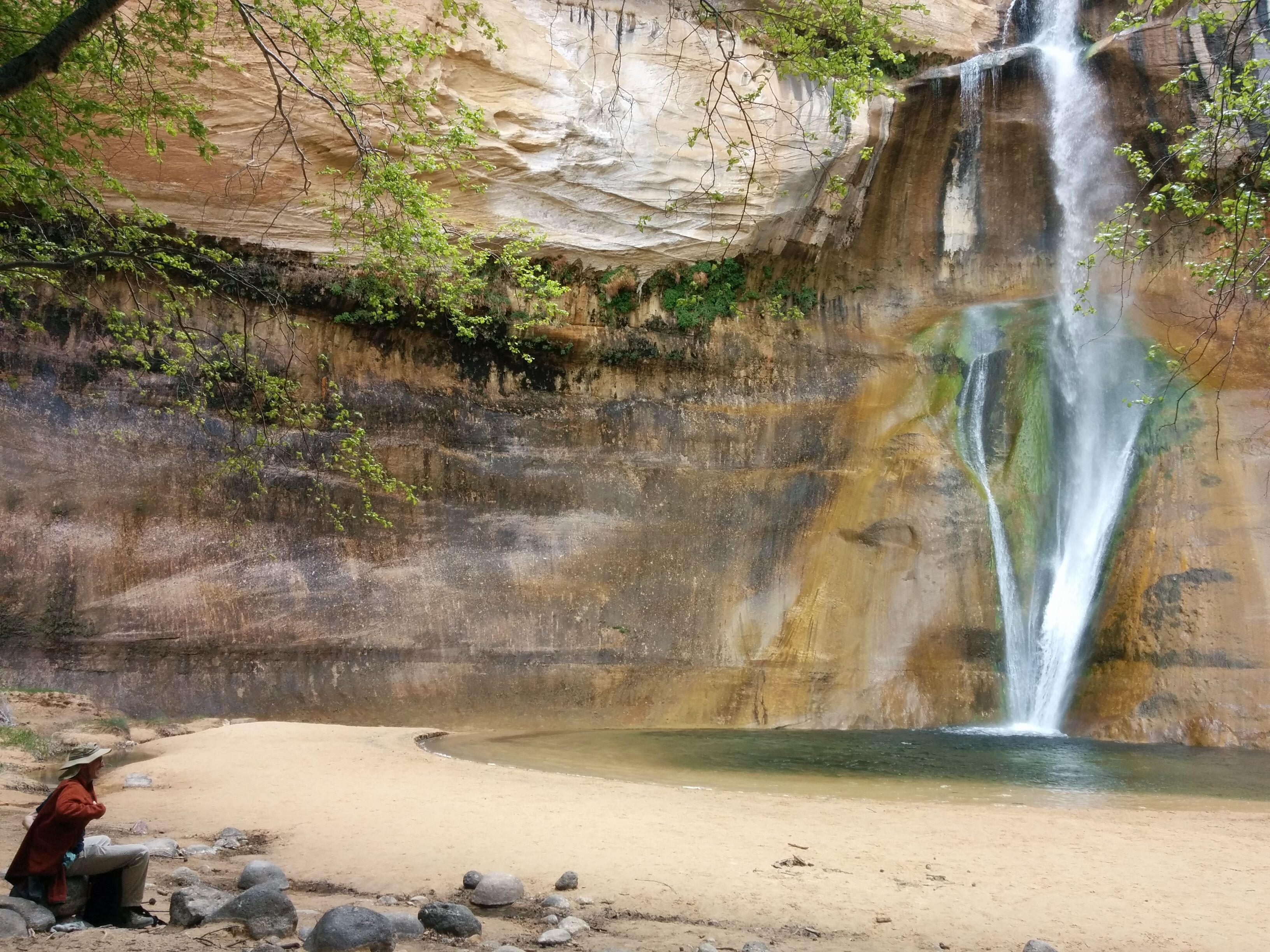
Photo credit: Y
Two different people notice D's "My Kingdom for a Beer" T-shirt. D invents the Scratch 'n Sniff T-shirt, which he'll think about more later. Y volunteers to be an early adopter.
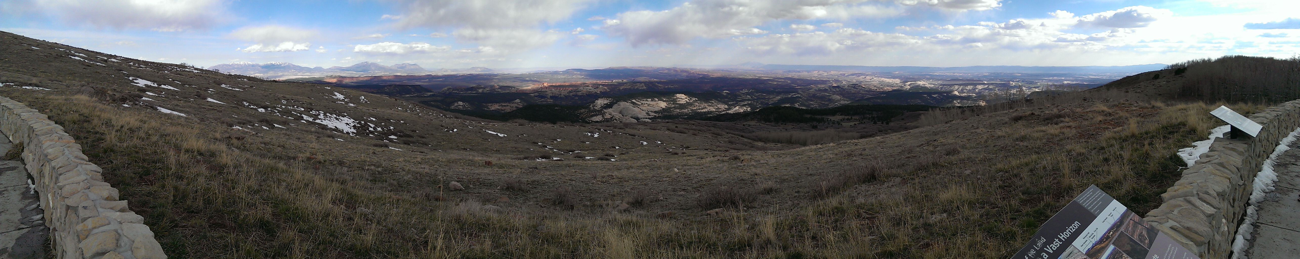
The drive from Bryce to Torrey goes over some 9000'+ mountain passes and snowy forests of barren deciduous trees.
We stay at the Capitol Reef Inn and Cafe in Torrey. The room is large and freshly varnished. We eat at the Cafe, which is OK. D considers buying a logo cap for $17.50 but passes (in retrospect erroneously).
Thu 21 April
Late wake-up and slow breakfast at the Cafe. Drive to Capitol Reef. The park ranger is excited when we express interest in the Navajo Knobs hike, which is 10m round trip, 2,400' gross elevation gain. The Rim Overlook is halfway, then a long decline and ascent on large sandstone slabs. We're passed by stocky guy, who we chat with at the top. He's from Germany.
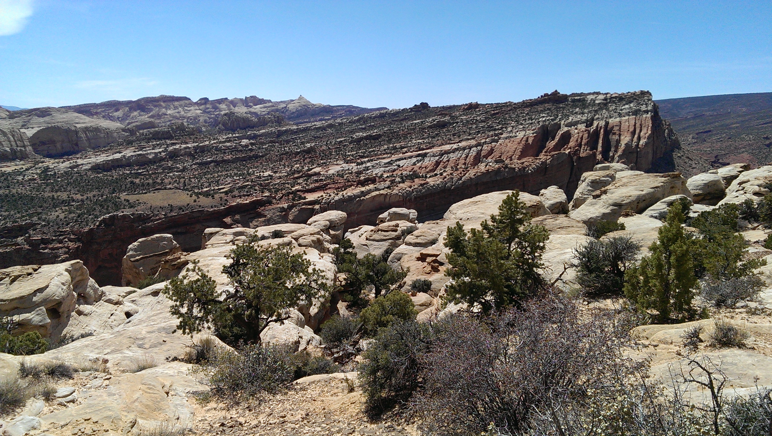
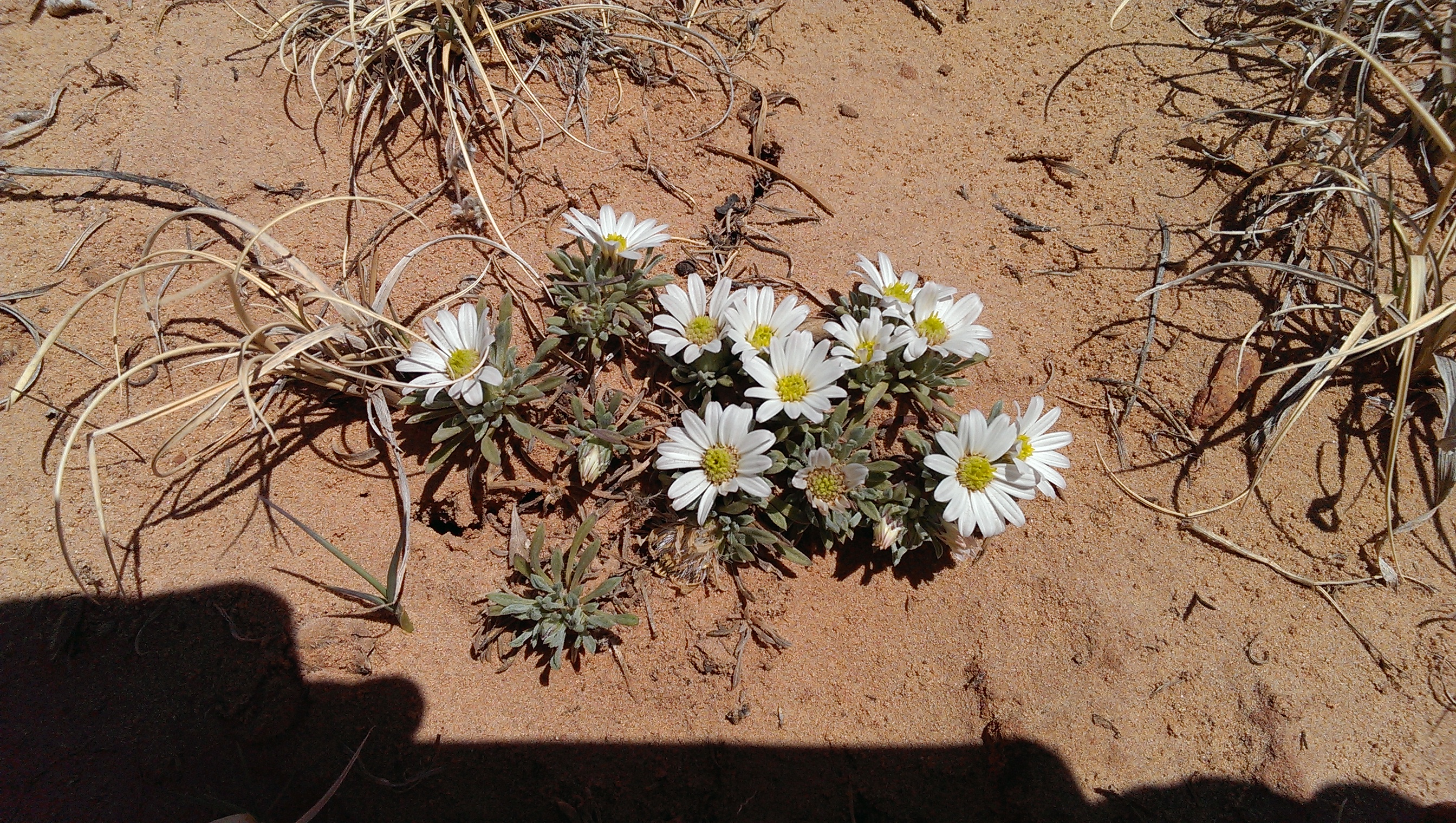
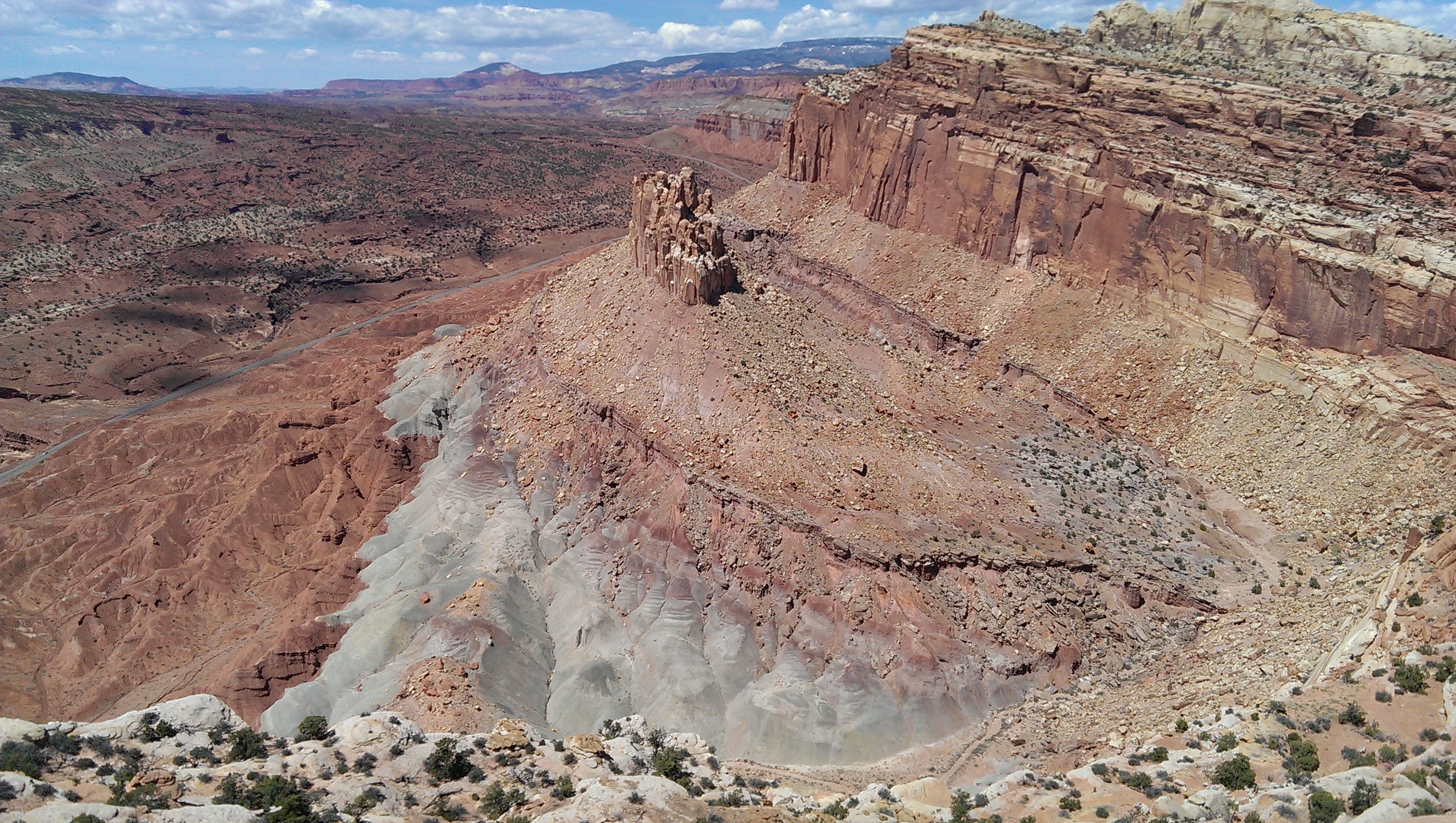
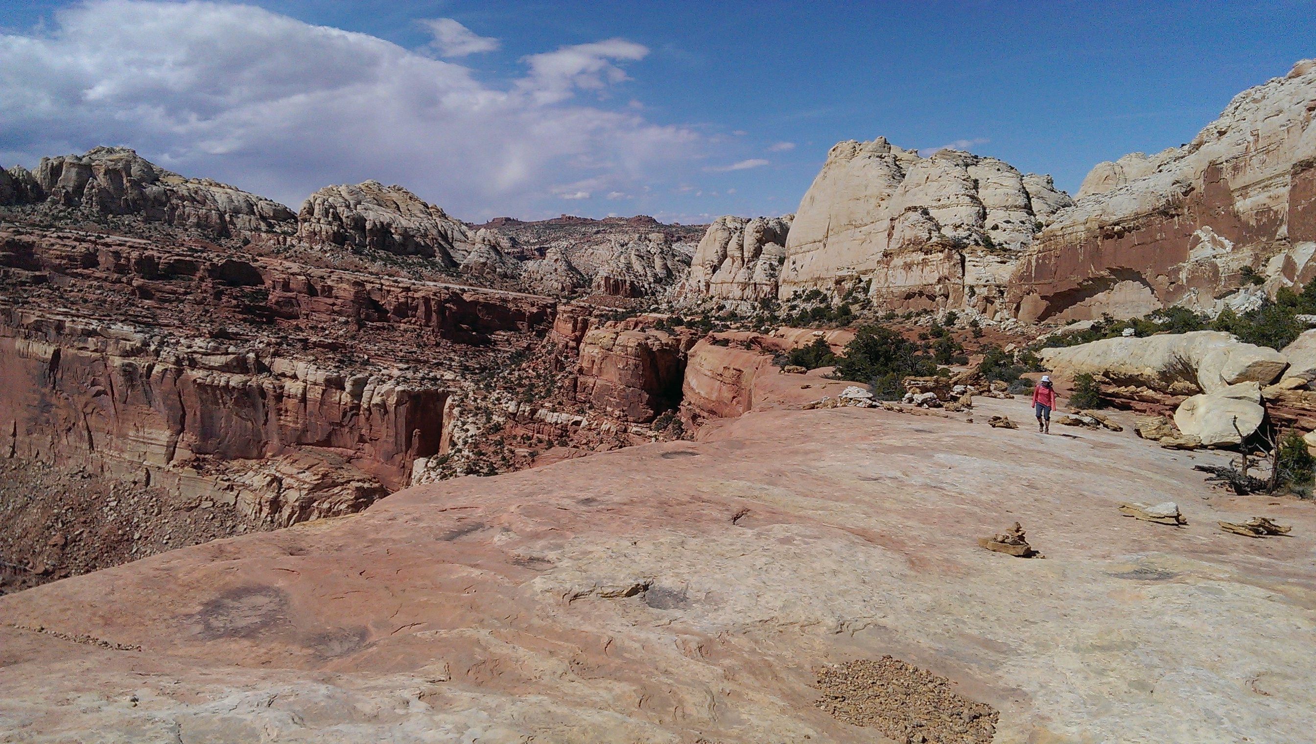
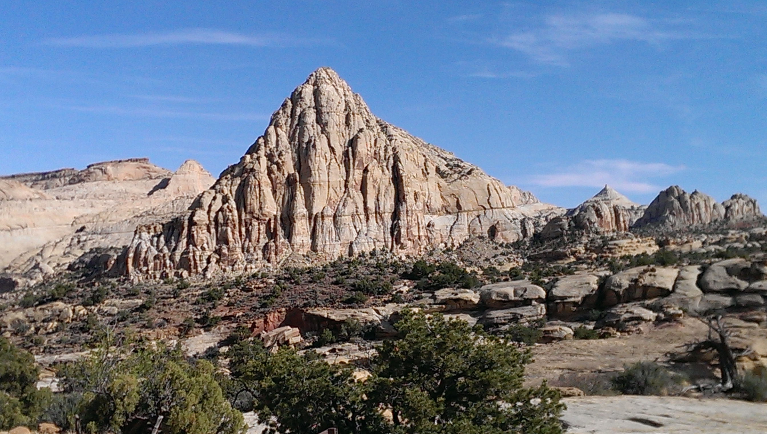
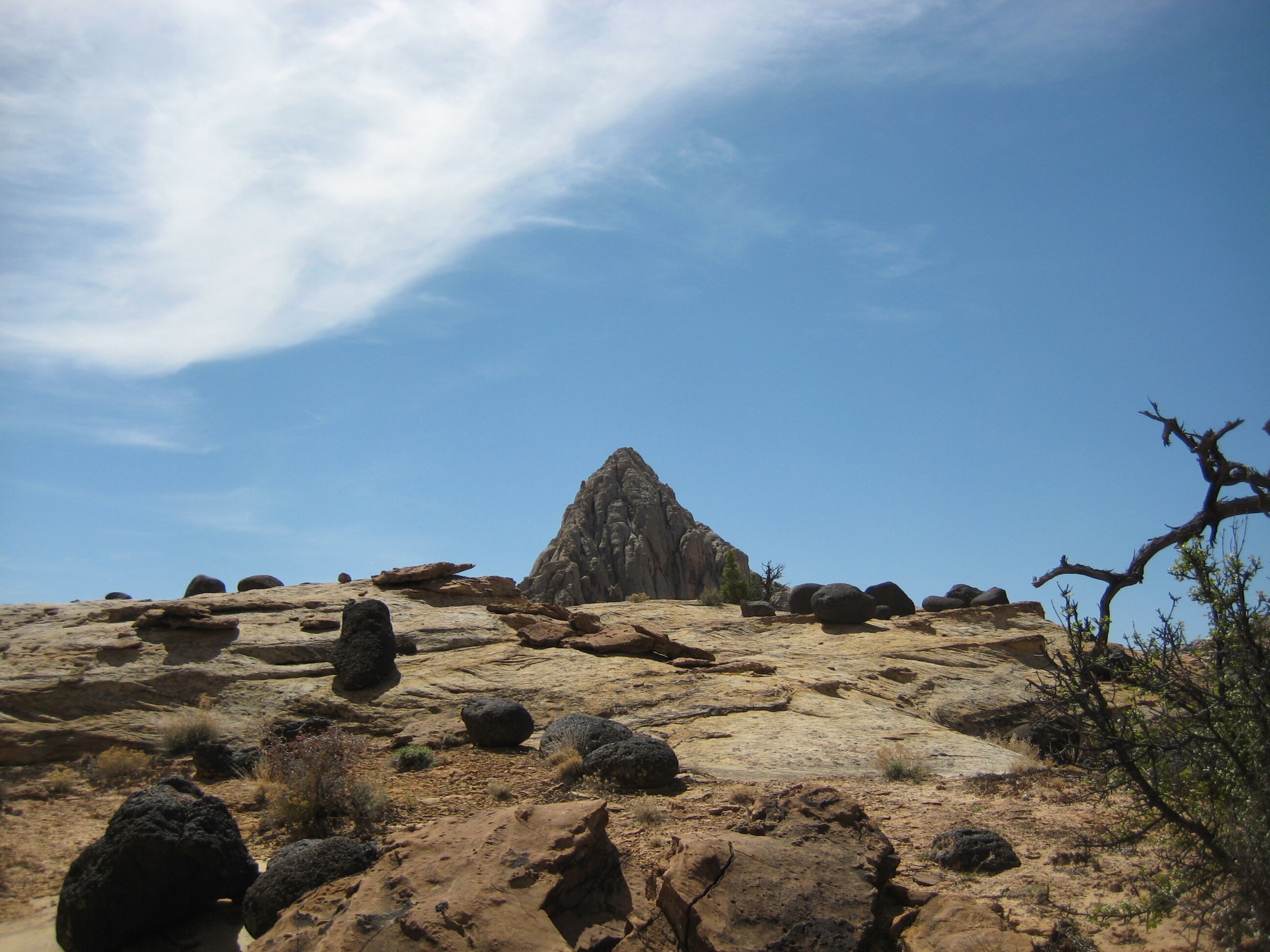
Photo credit: Y
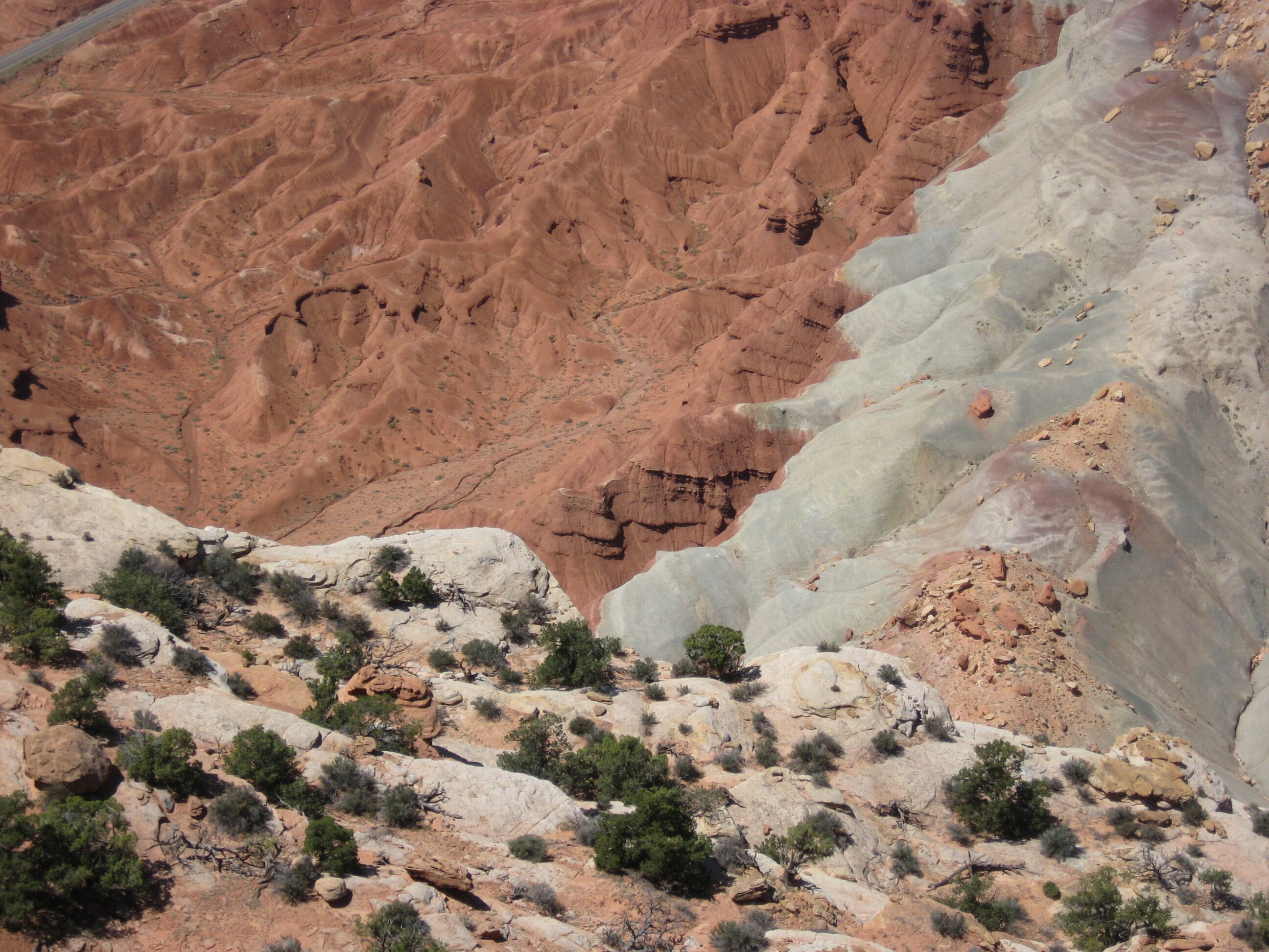
Photo credit: Y
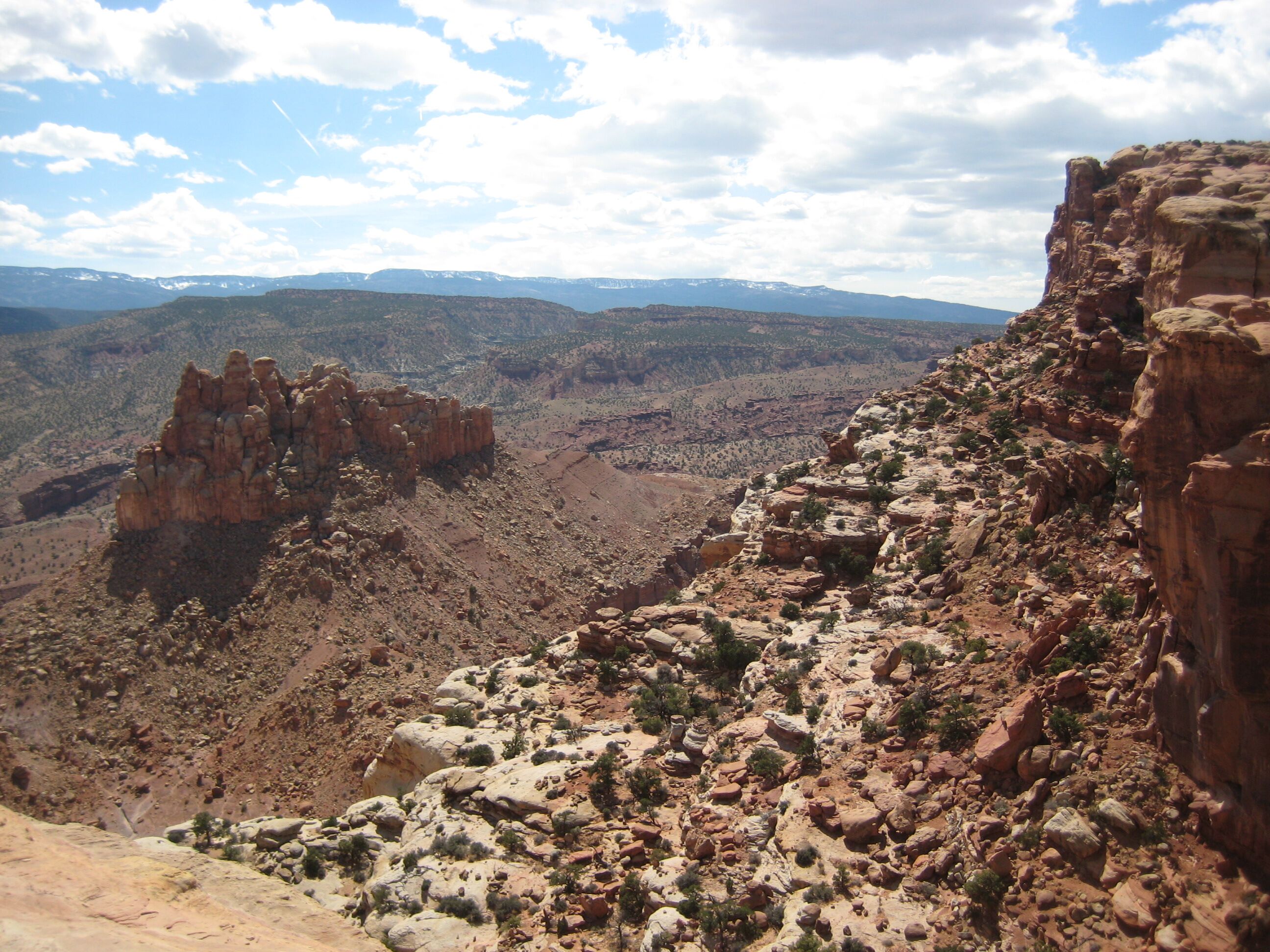
Photo credit: Y
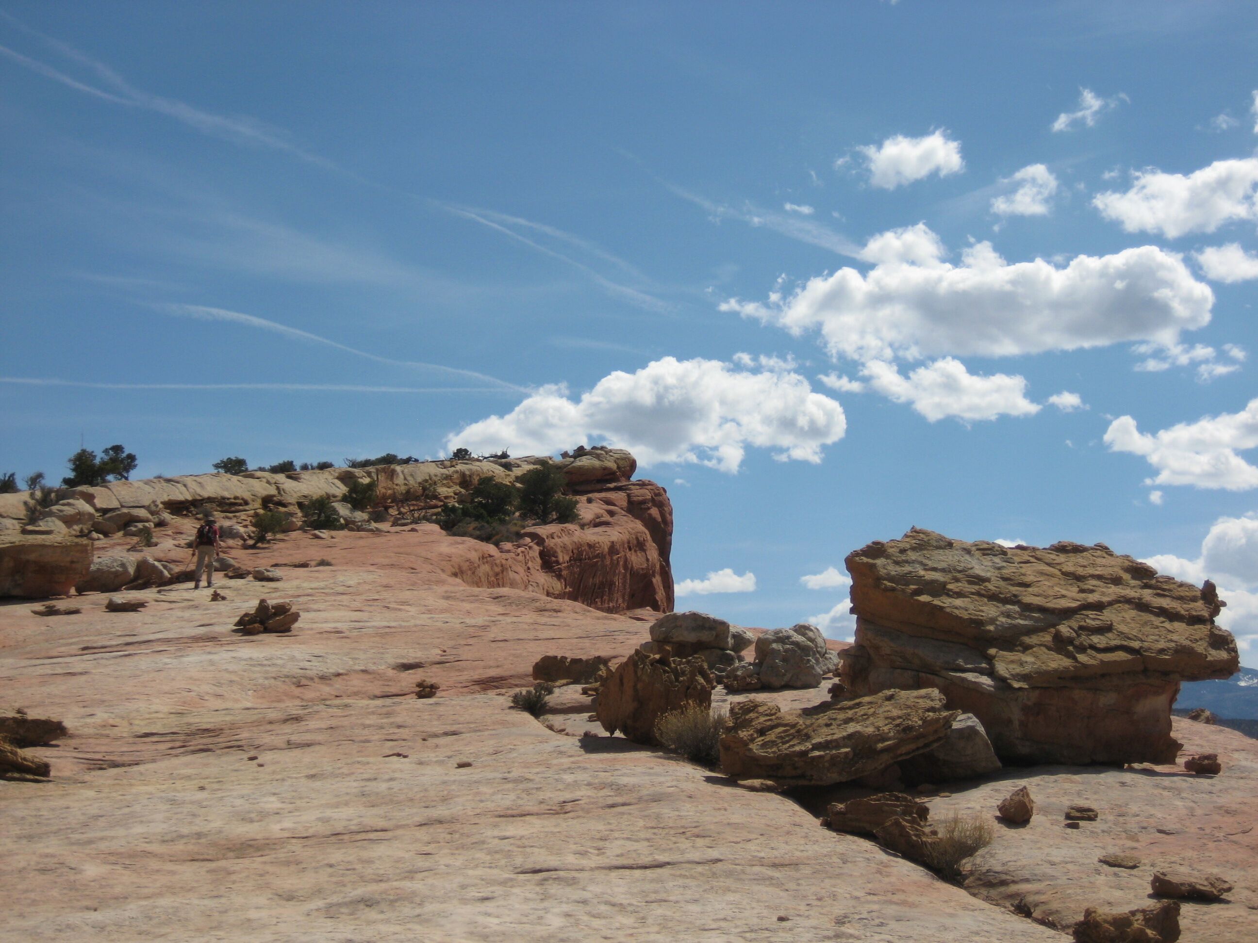
Photo credit: Y
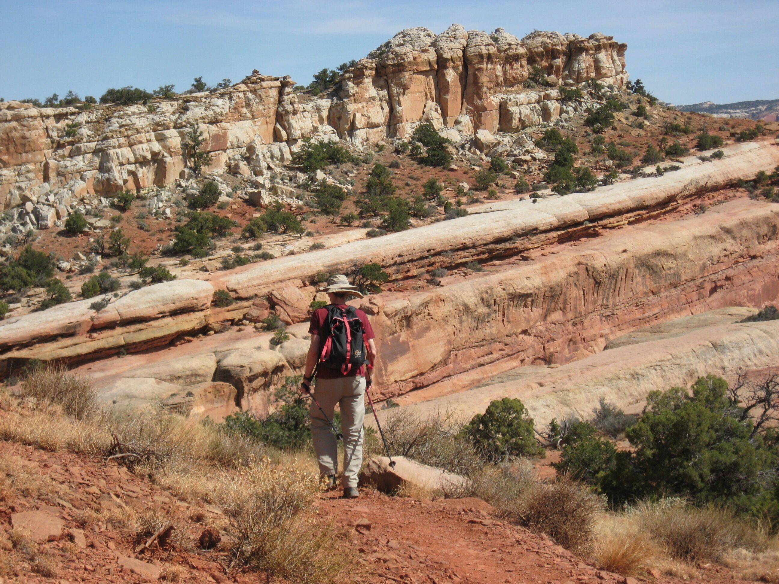
Photo credit: Y
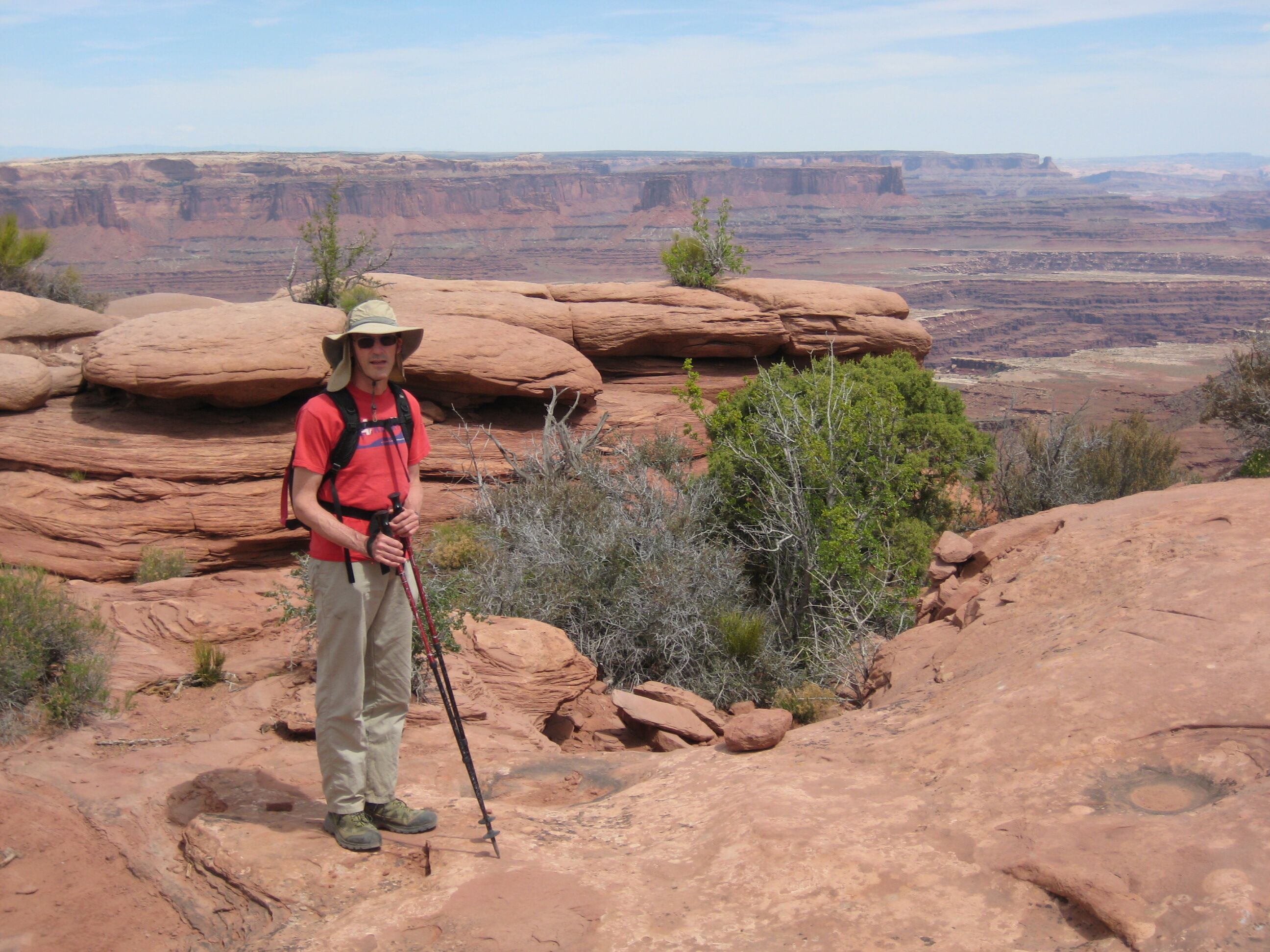
Photo credit: Y
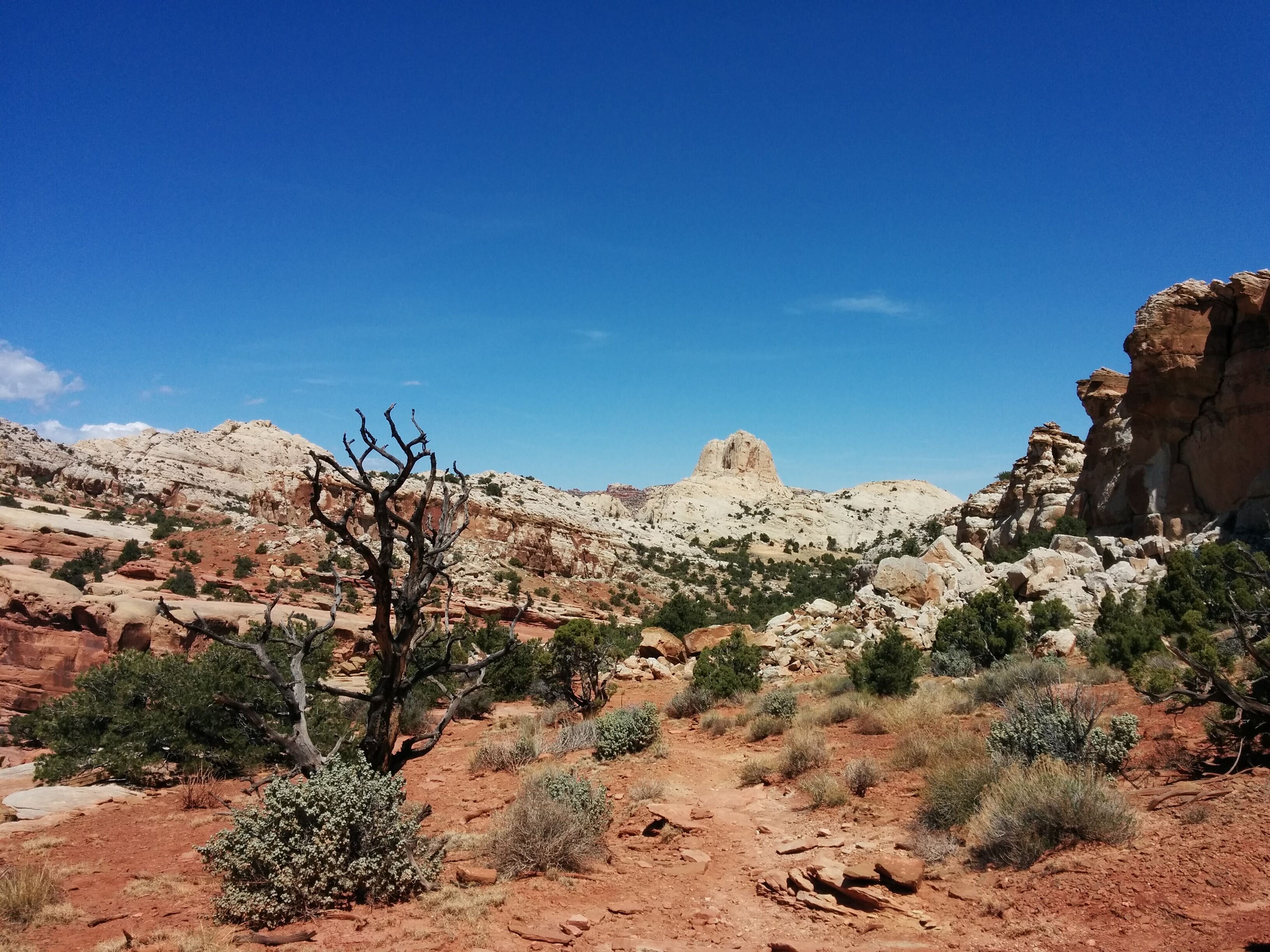
Photo credit: Y
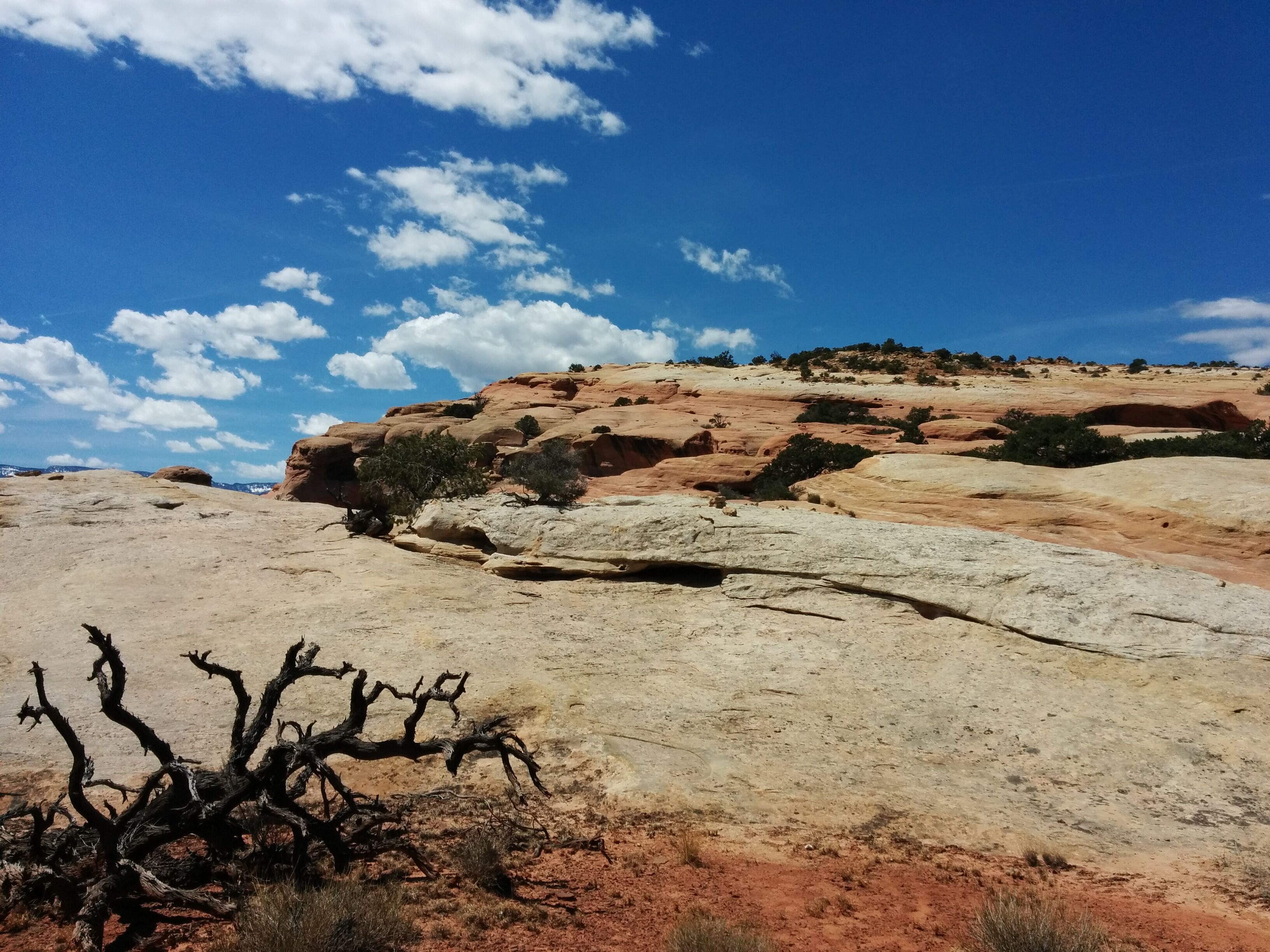
Photo credit: Y
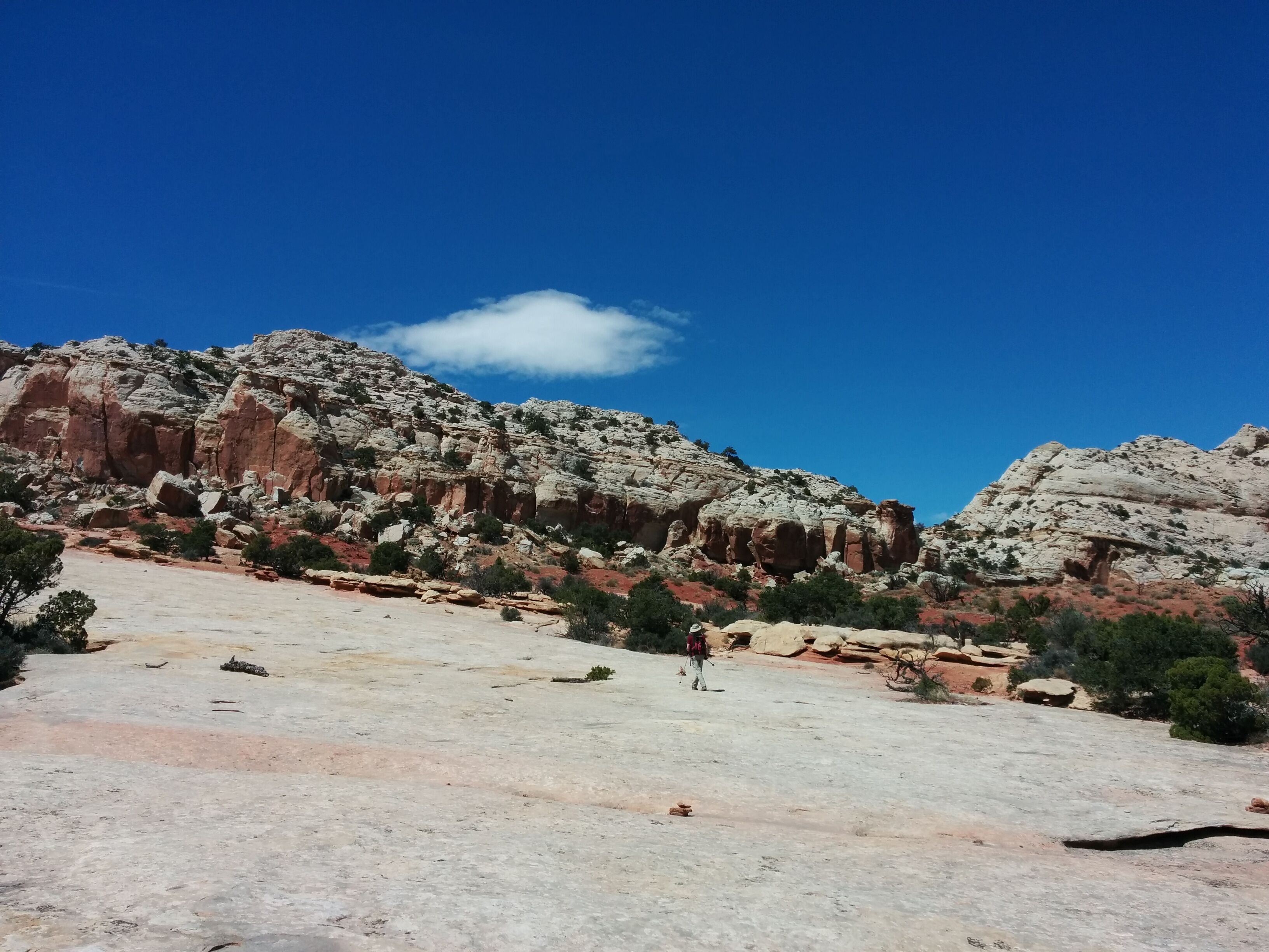
Photo credit: Y
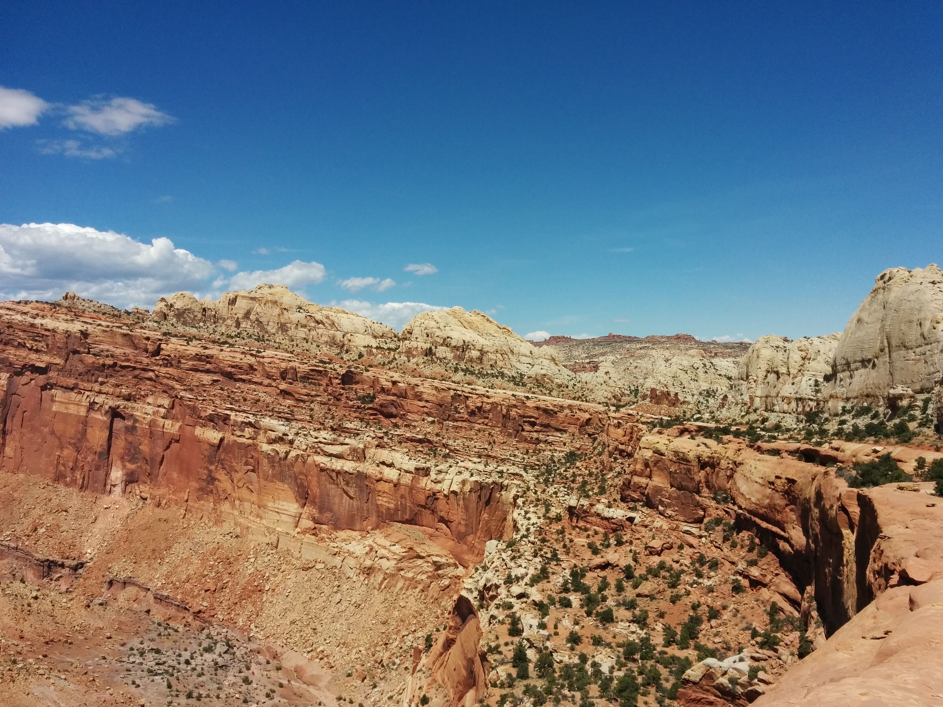
Photo credit: Y
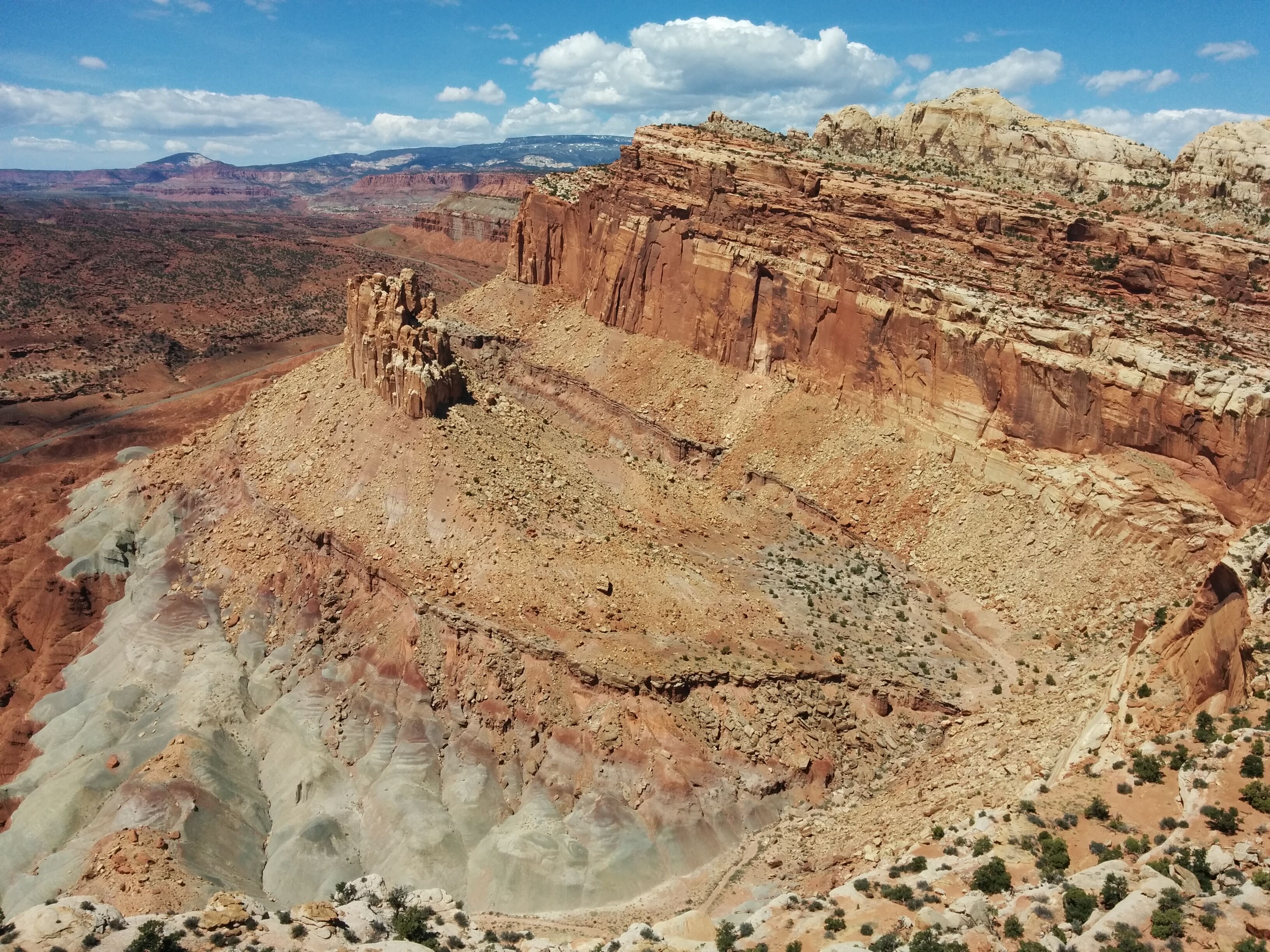
Photo credit: Y
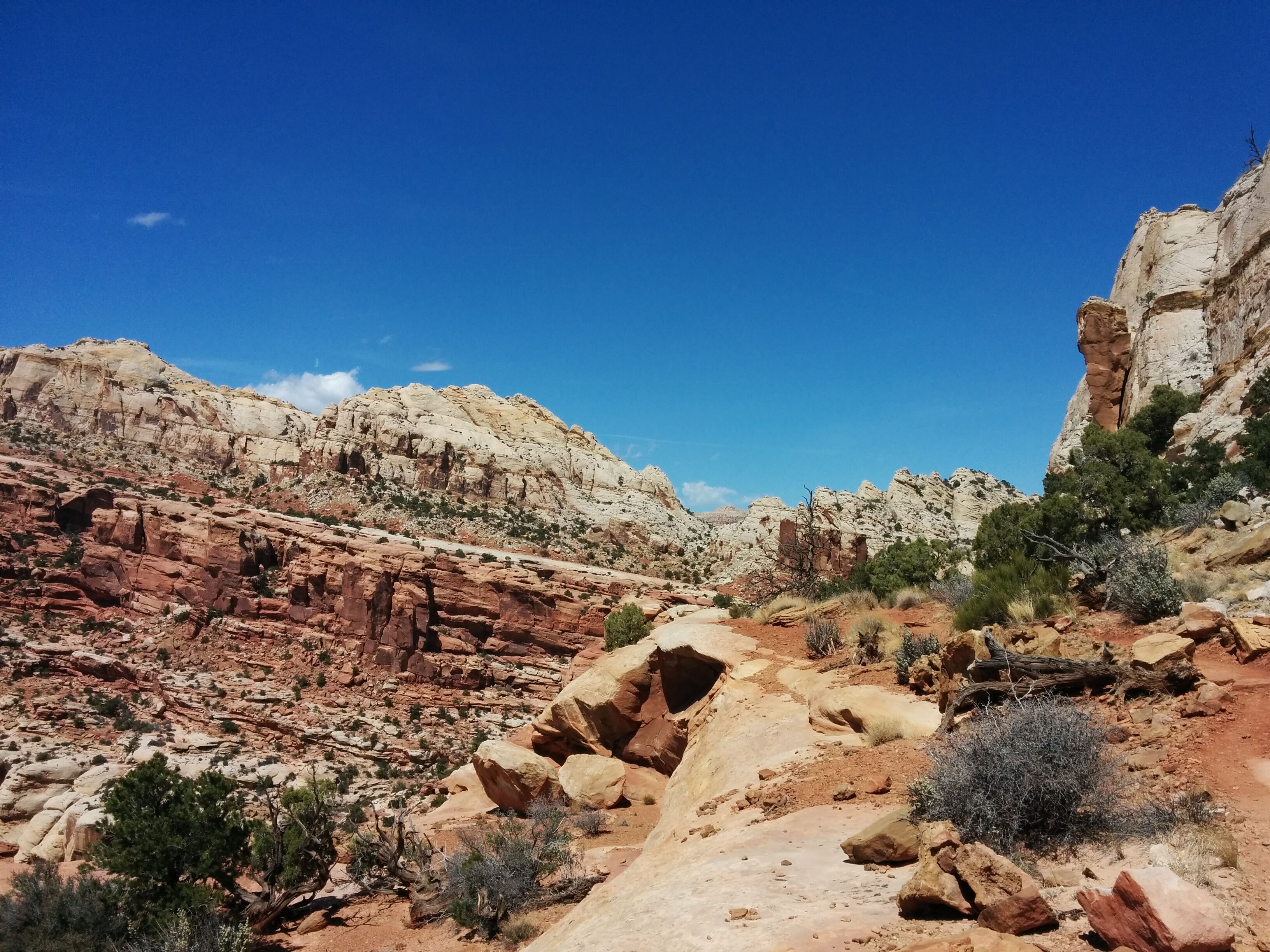
Photo credit: Y
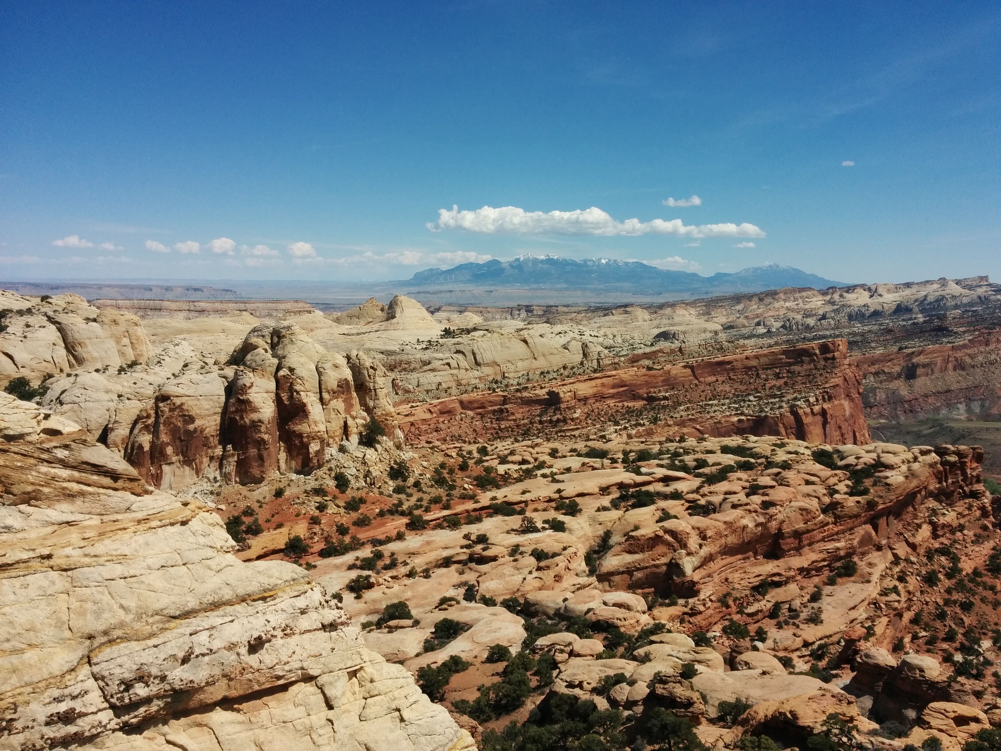
Photo credit: Y
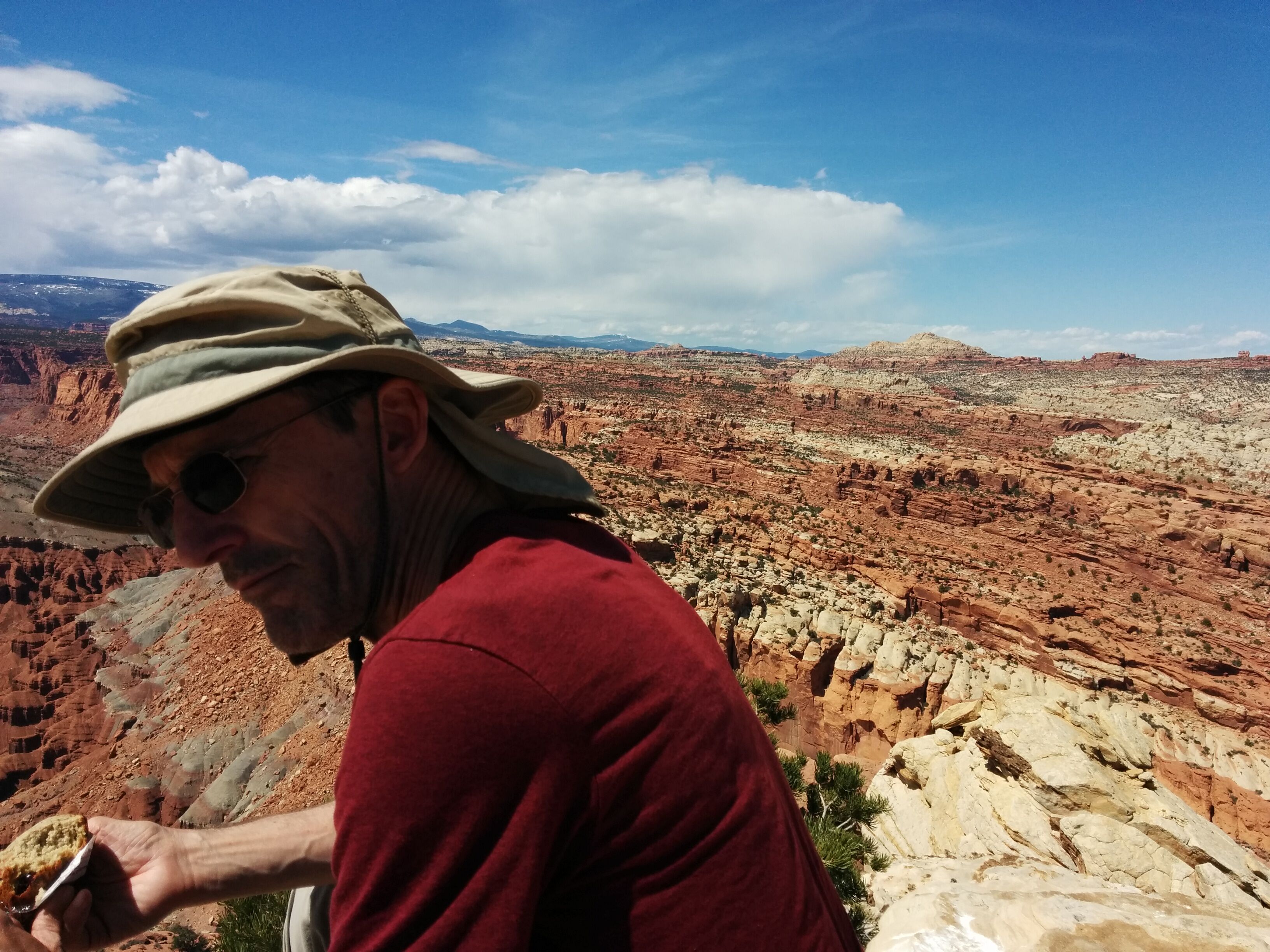
Photo credit: Y
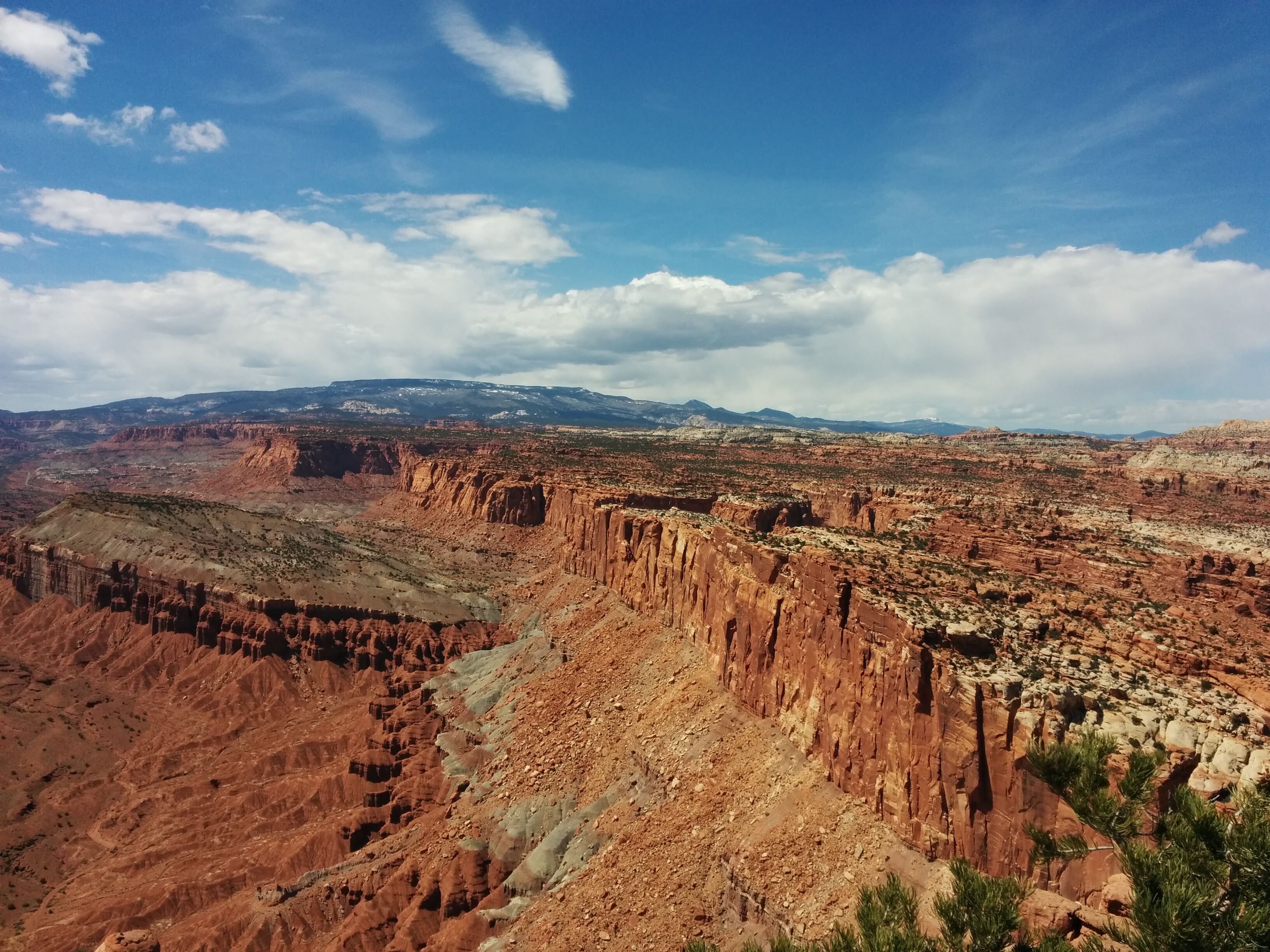
Photo credit: Y
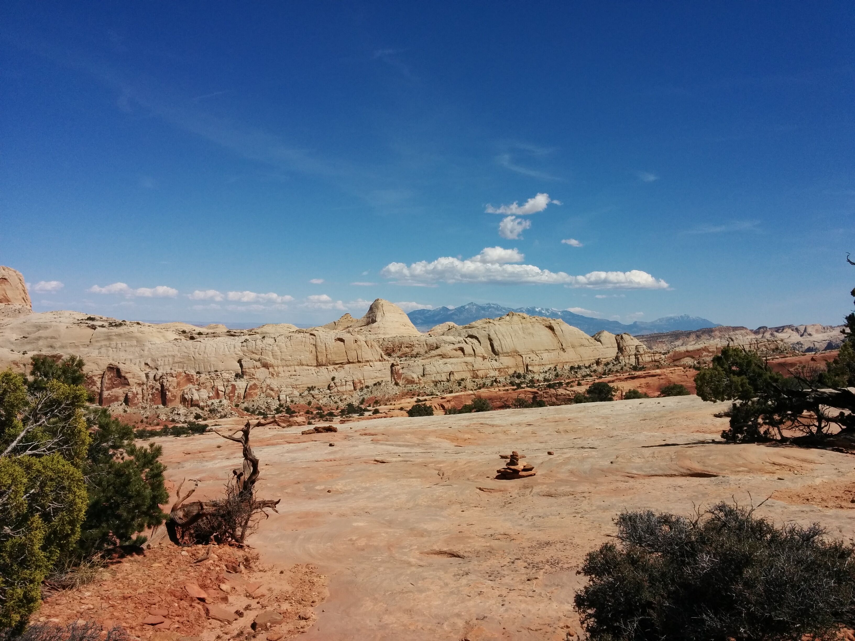
Photo credit: Y
On the way down we run into a Bear couple at the Rim Overlook, bare to the waist and with appropriate paunches. They're doing a Utah circuit like ours but in a different order. We somewhat awkwardly recommend the Fairyland Loop trail to them.
In the valley there are fruit orchards, originally planted by the Mormons and now maintained by the park service. Griffin House (home of great pies) is sadly closed. We drive ~5 miles up a scenic drive.
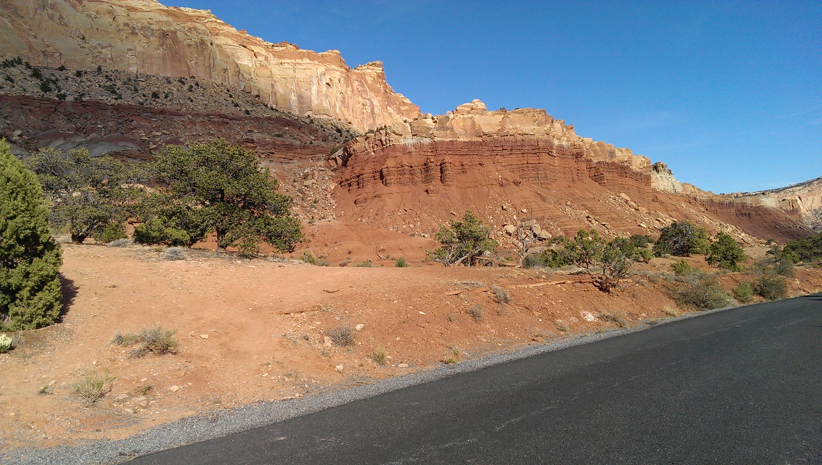
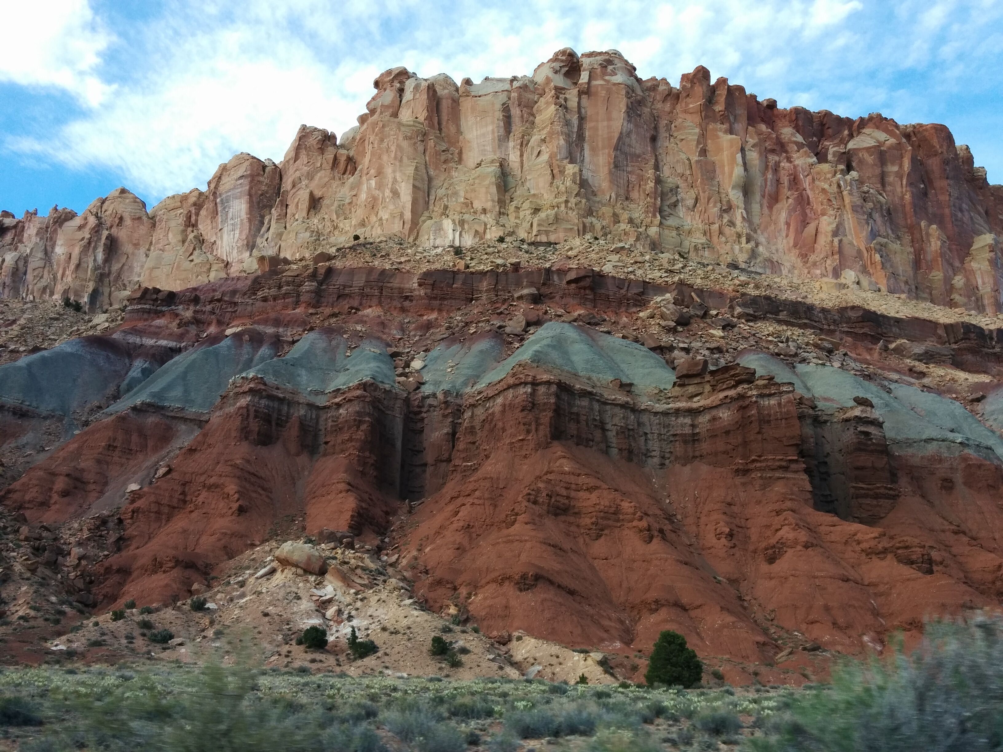
Photo credit: Y
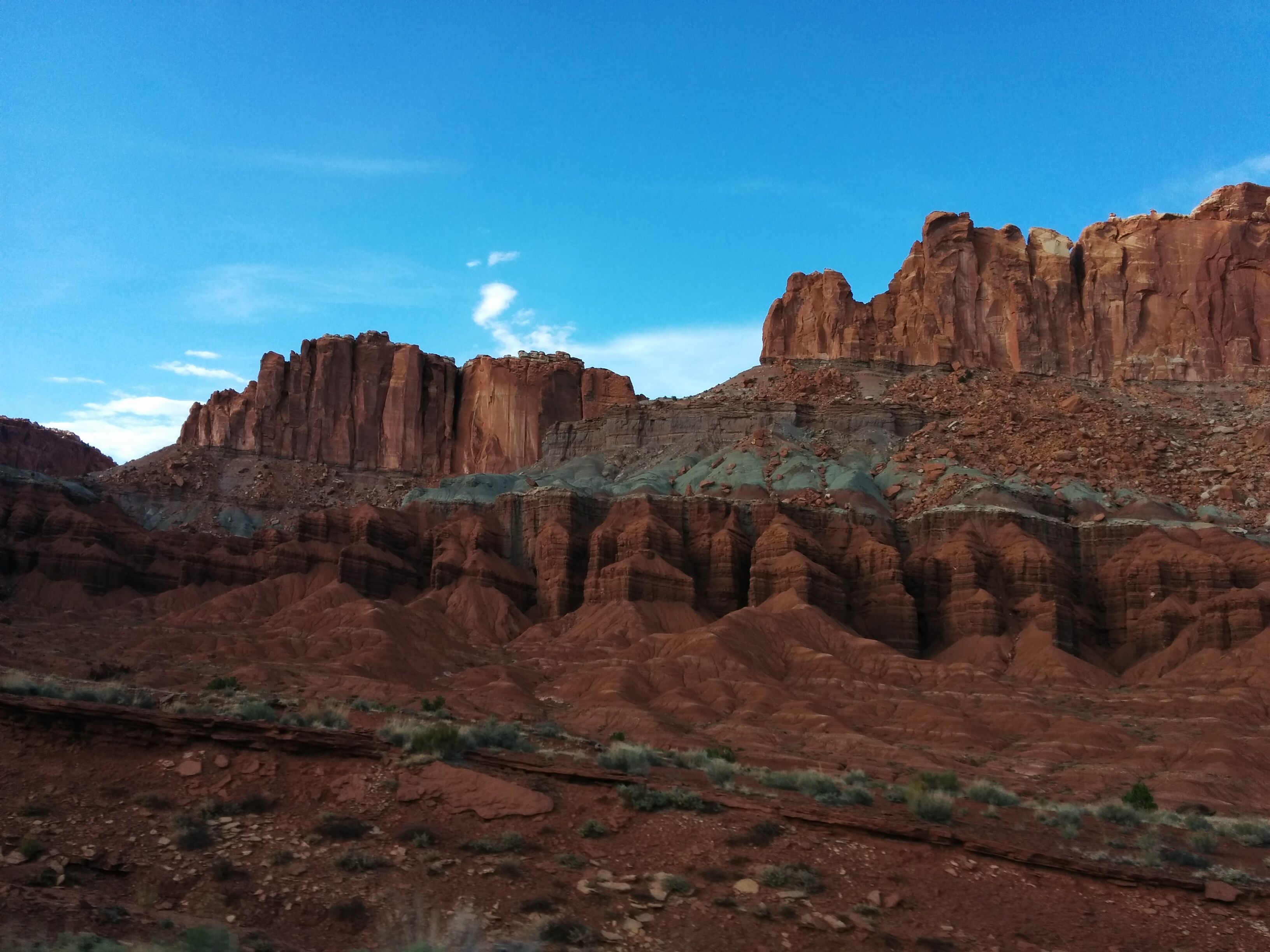
Photo credit: Y
We return to Torrey for burgers and shakes at Slacker's, waiting for our food while breeder families eat enormous soft-serve cones.

We drive to Green River via Fremont and I-70 (very scenic for an Interstate). We pass a turnoff for "Mussentuchit", which we assume has to do with anti-masturbation ordinances (but that turns not to be the case). A full moon rises directly in front of us.
Green River is a pathetic dying truck-stop of a town, which is trying to market itself as a tourist destination based on river rafting and a watermelon festival in Sept.
Robber's Roost motel is OK for $52. We try to get beer; Ray's Tavern is closed (because of unexpected delay :-), the convenience store has a high-security locked "beer room" with Bud and Bud Lite. We settle for high-sugar drinks and potato chips.
Friday April 22
More unexpected delay. We go to a cute grocery store, get yucky take-out breakfast/lunch (salty pasta salad), and drive into Canyonlands. Compared to other parks, it's vast, stately and unpretentious. It has three distinct layers: high mesa, middle plain, and white-rimmed deep canyons.
We discuss trails with ranger. Syncline is ruled out because it's too late in the day. We waffle between a 10-mile loop and Gooseberry, a 6-mile out and back. We select the latter, and it's a win. It starts off with a 1,400' very steep descent down a gully in a huge cliff. Way more scary than Angel's Landing.
Then it levels out in a spectacular wash with rocks of all colors. People have built sculpture-cairns whose purpose is beauty rather than navigation.
The trail ends at the edge of a 500' deep canyon that is rimmed by white rock, but is made up of dark maroon rock. Y pokes her head over the edge.
On the way back we have a navigational issue: we come to a fork, go to the left (which has cairns) but after a few 100' it looks unfamiliar, and we go back and take the other fork, but it quickly is obviously wrong so we cut back to the left.
The climb up the gully is daunting but actually goes by pretty quickly; the complexity of the trail forces you to go pretty slow.
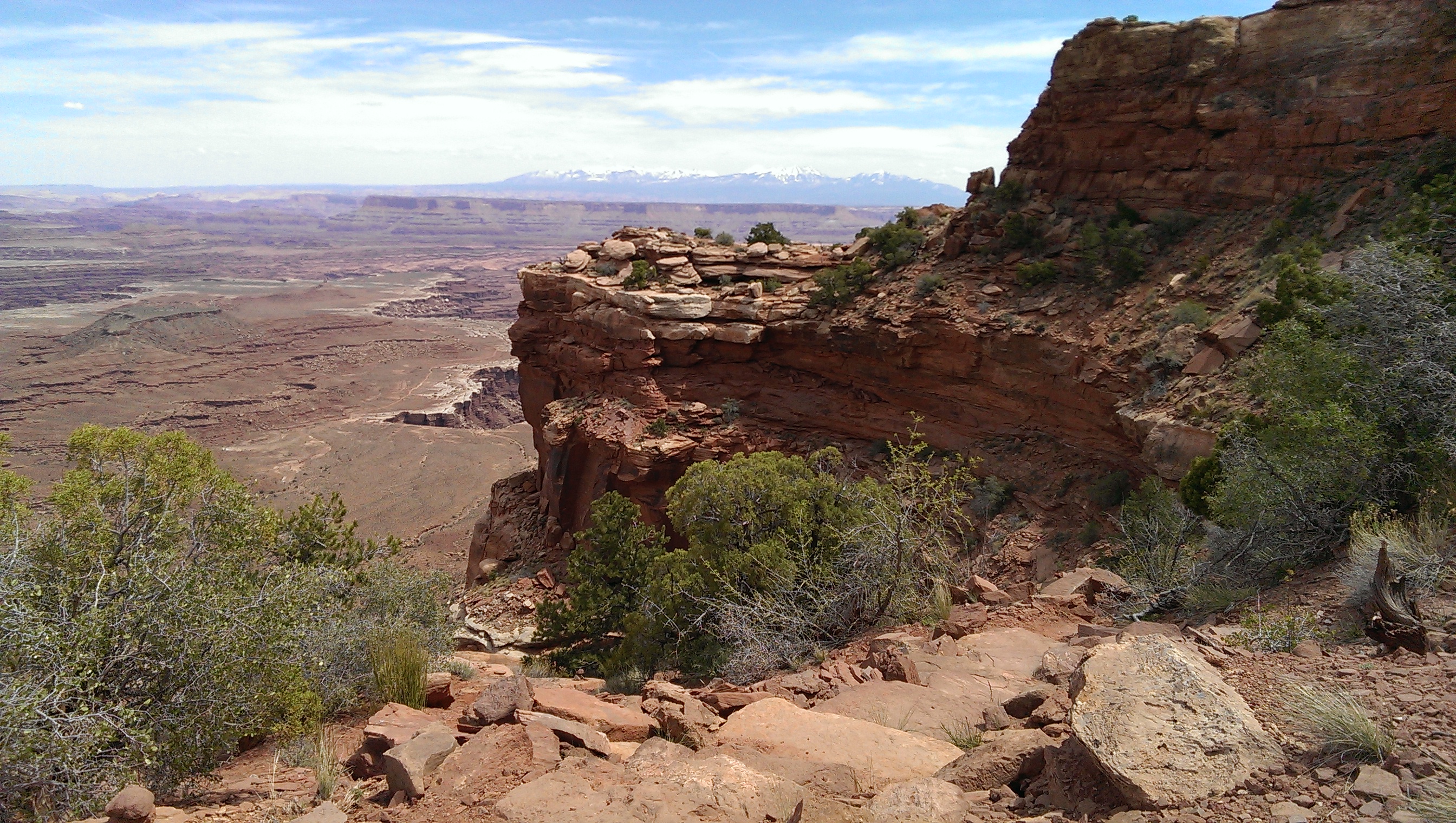
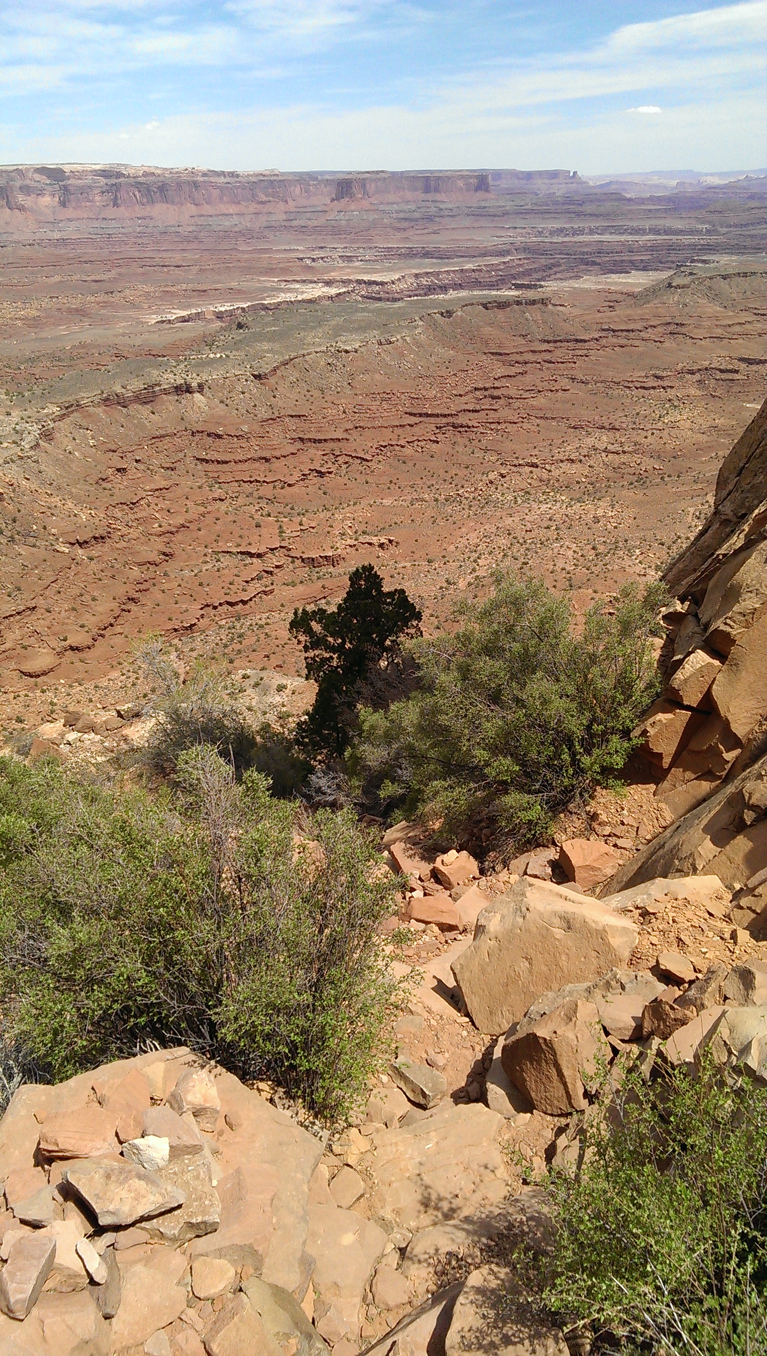
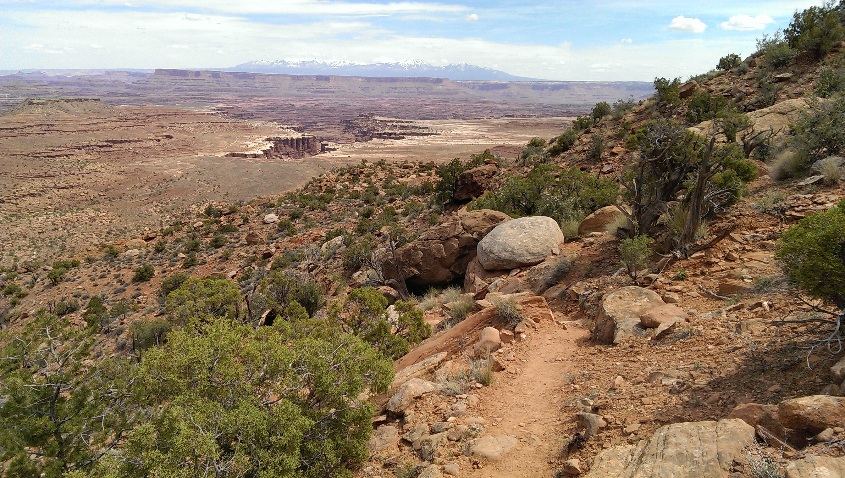
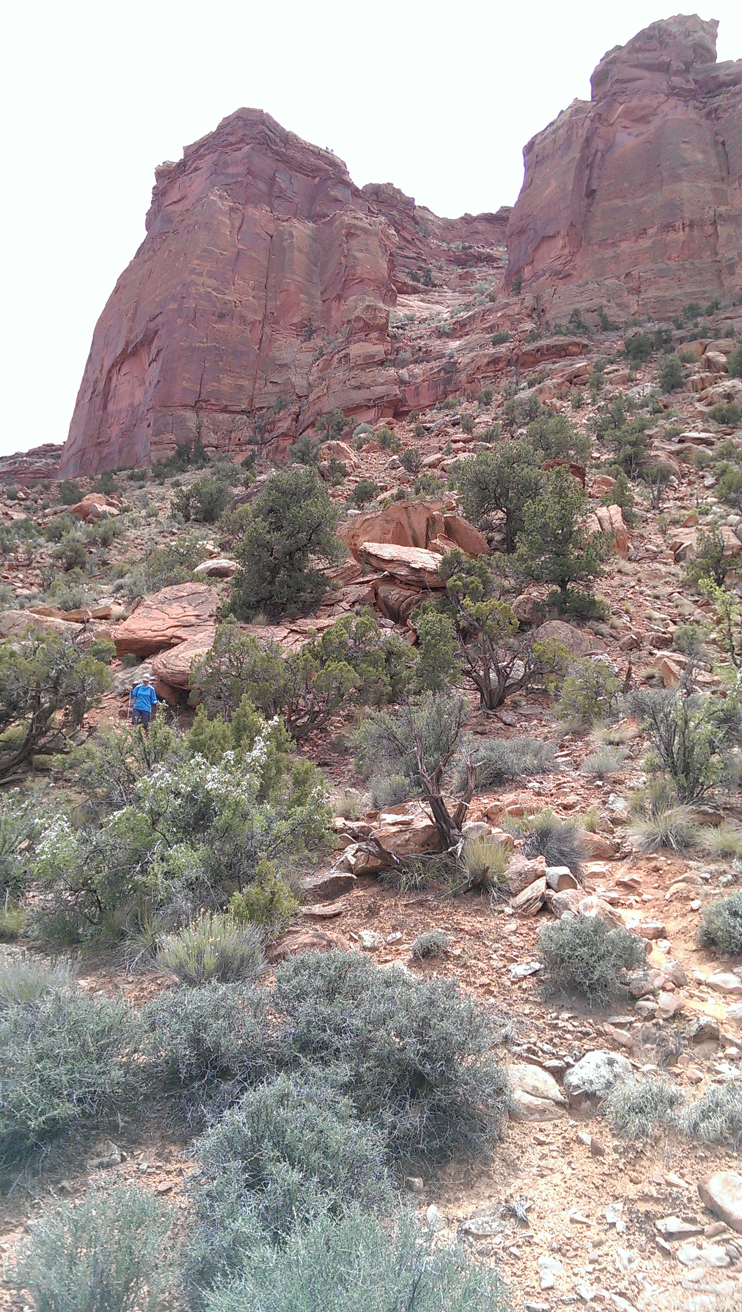
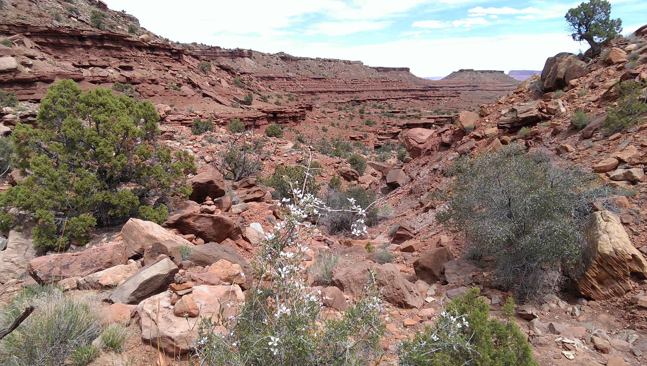
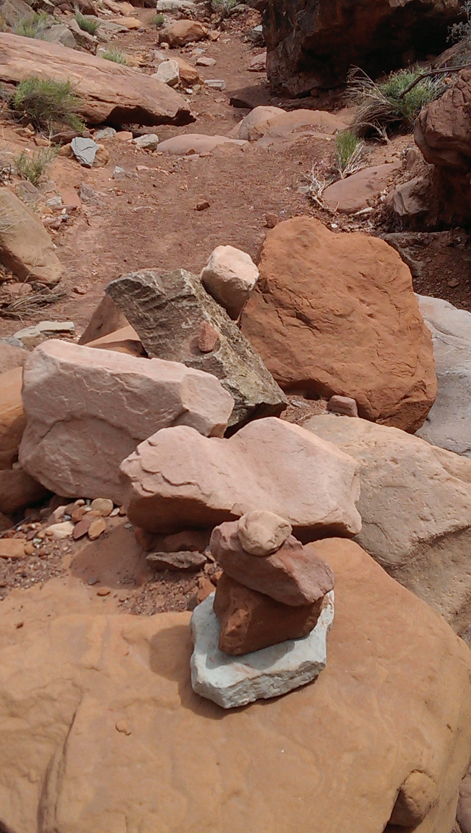
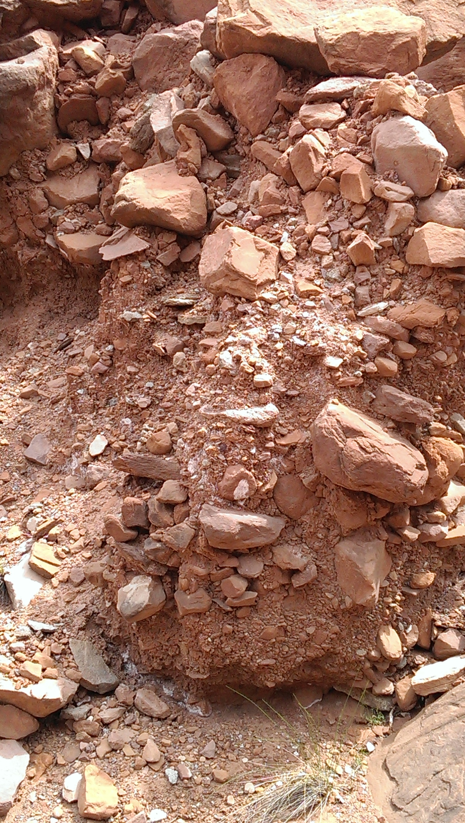
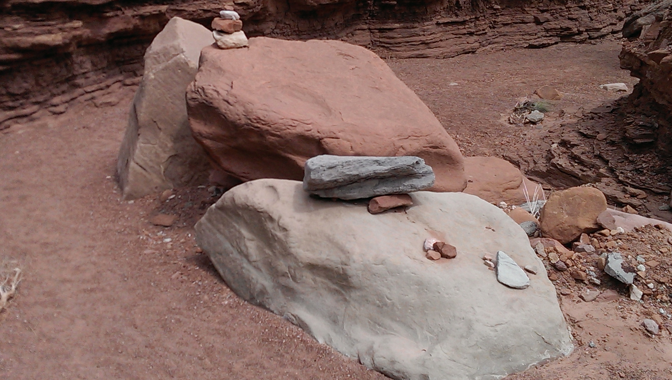
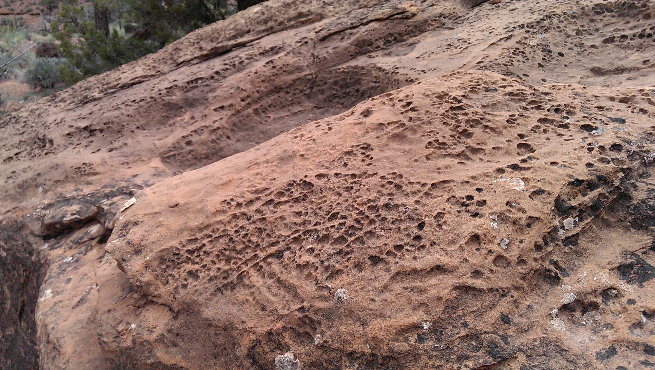
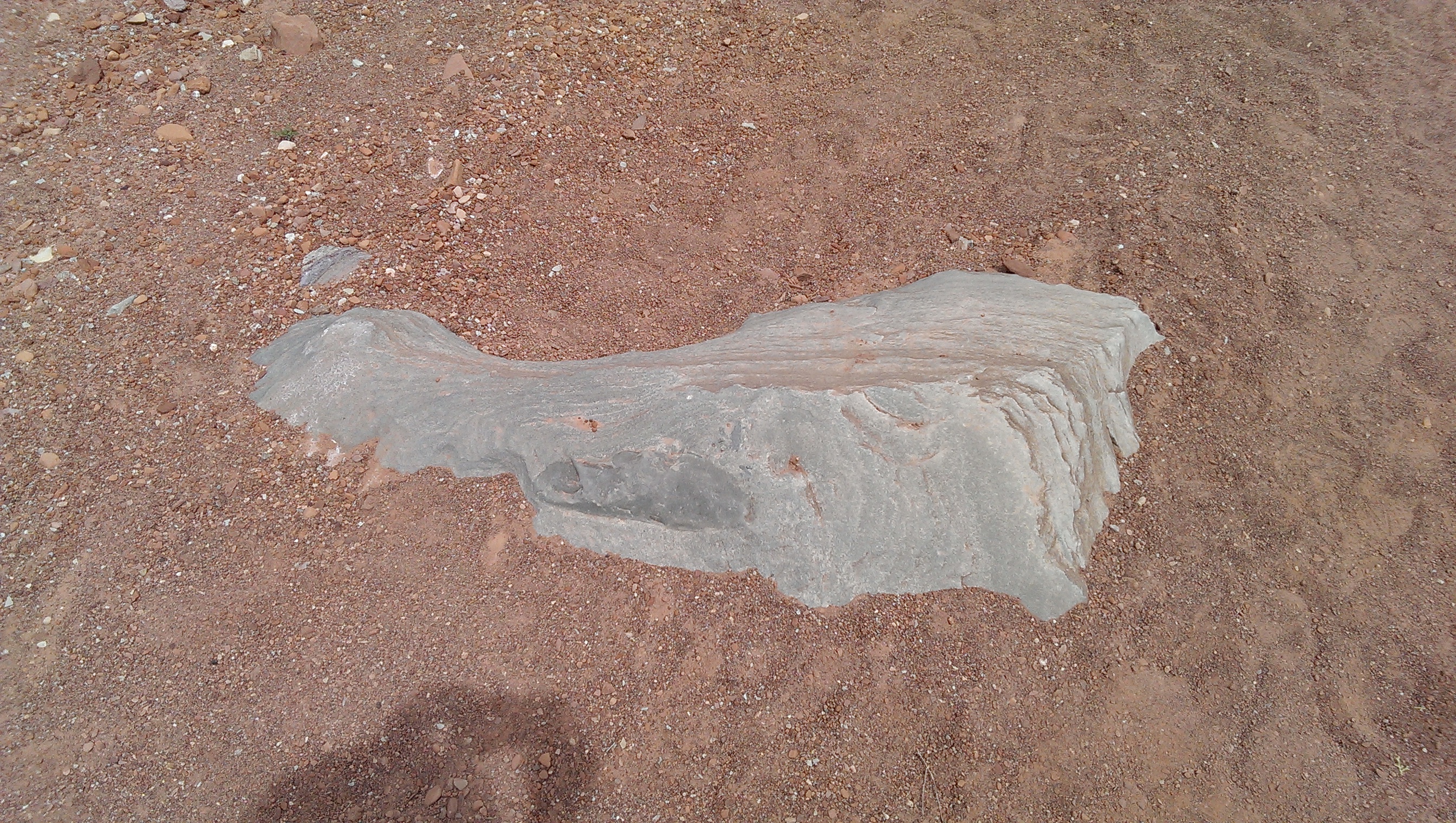
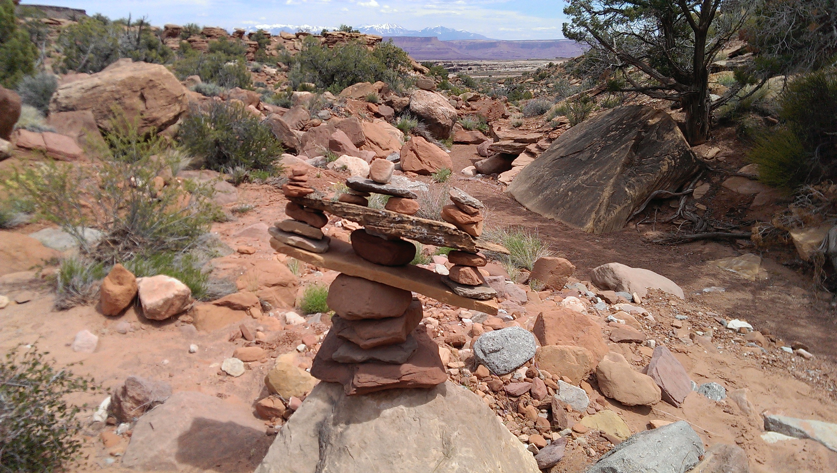
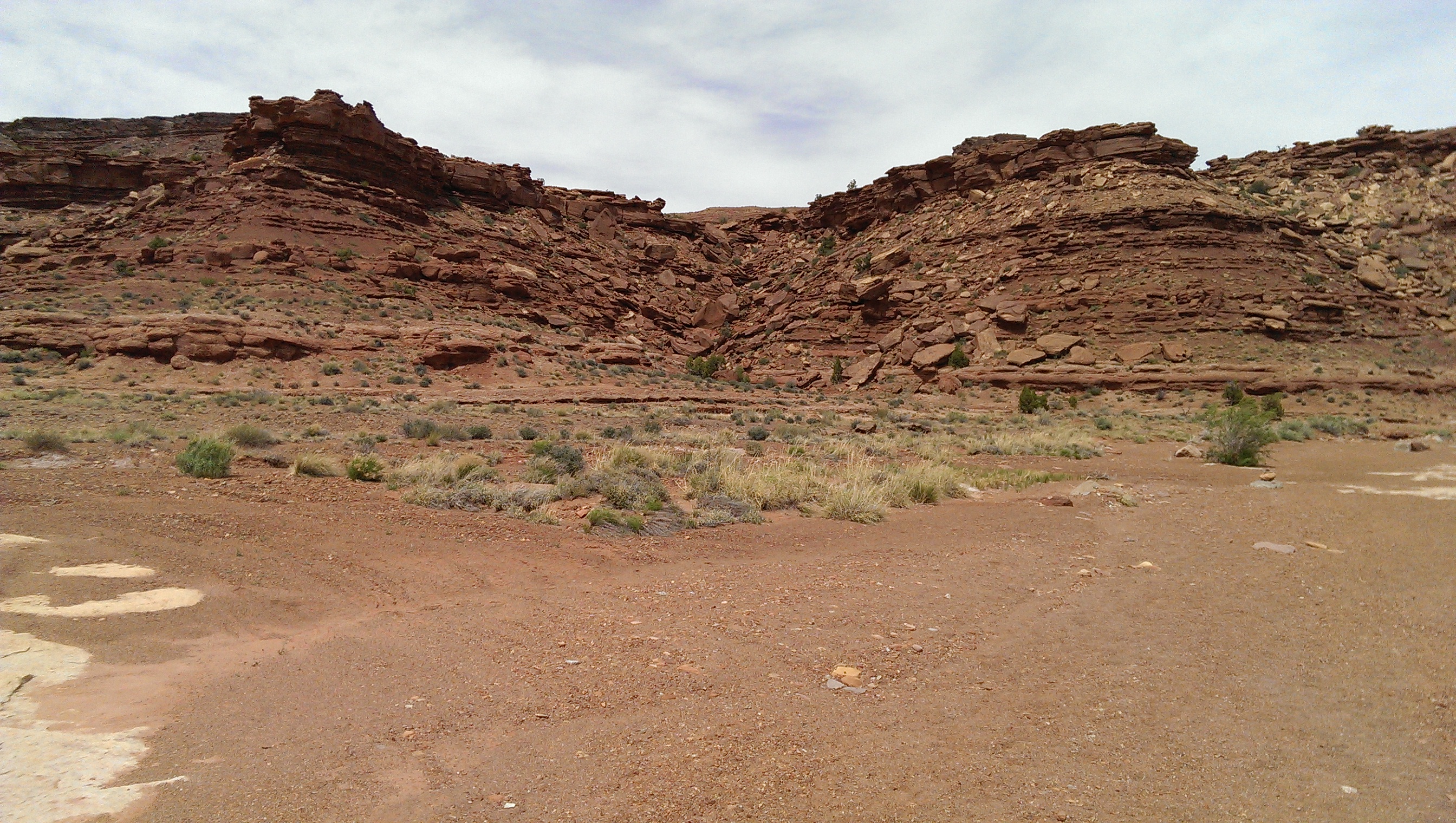
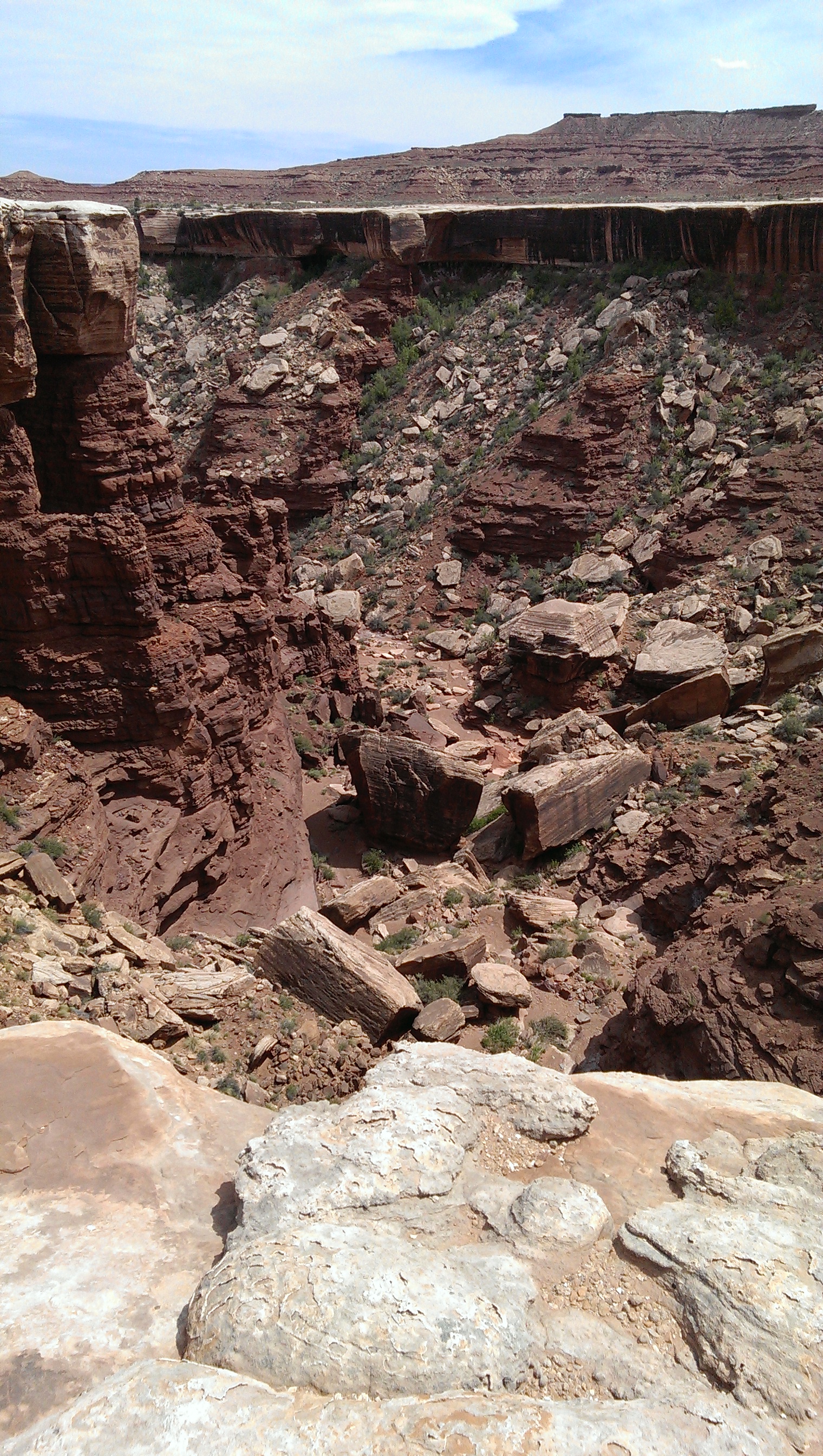
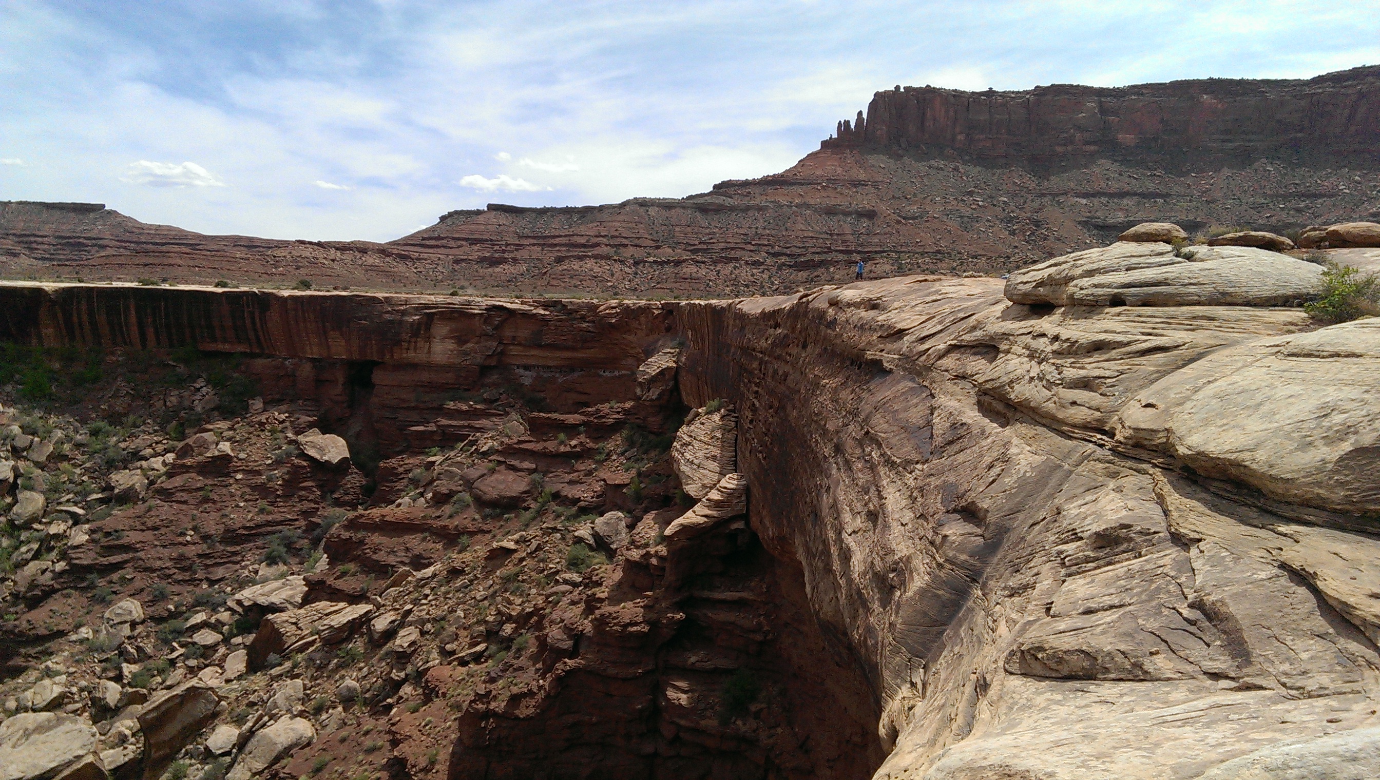
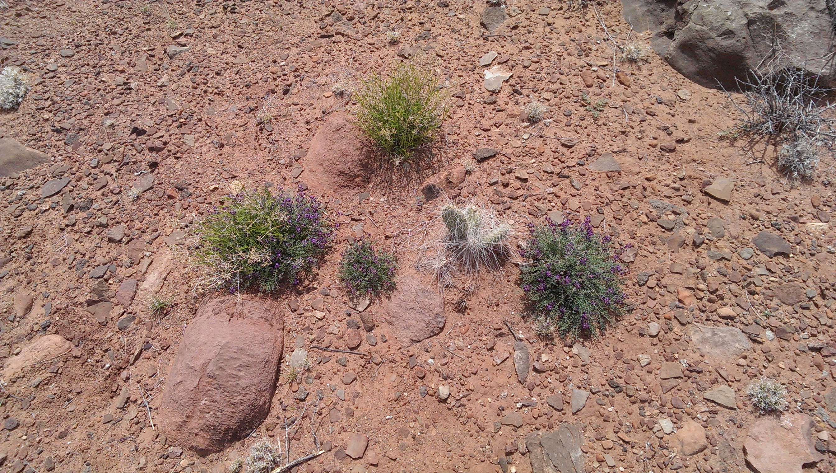
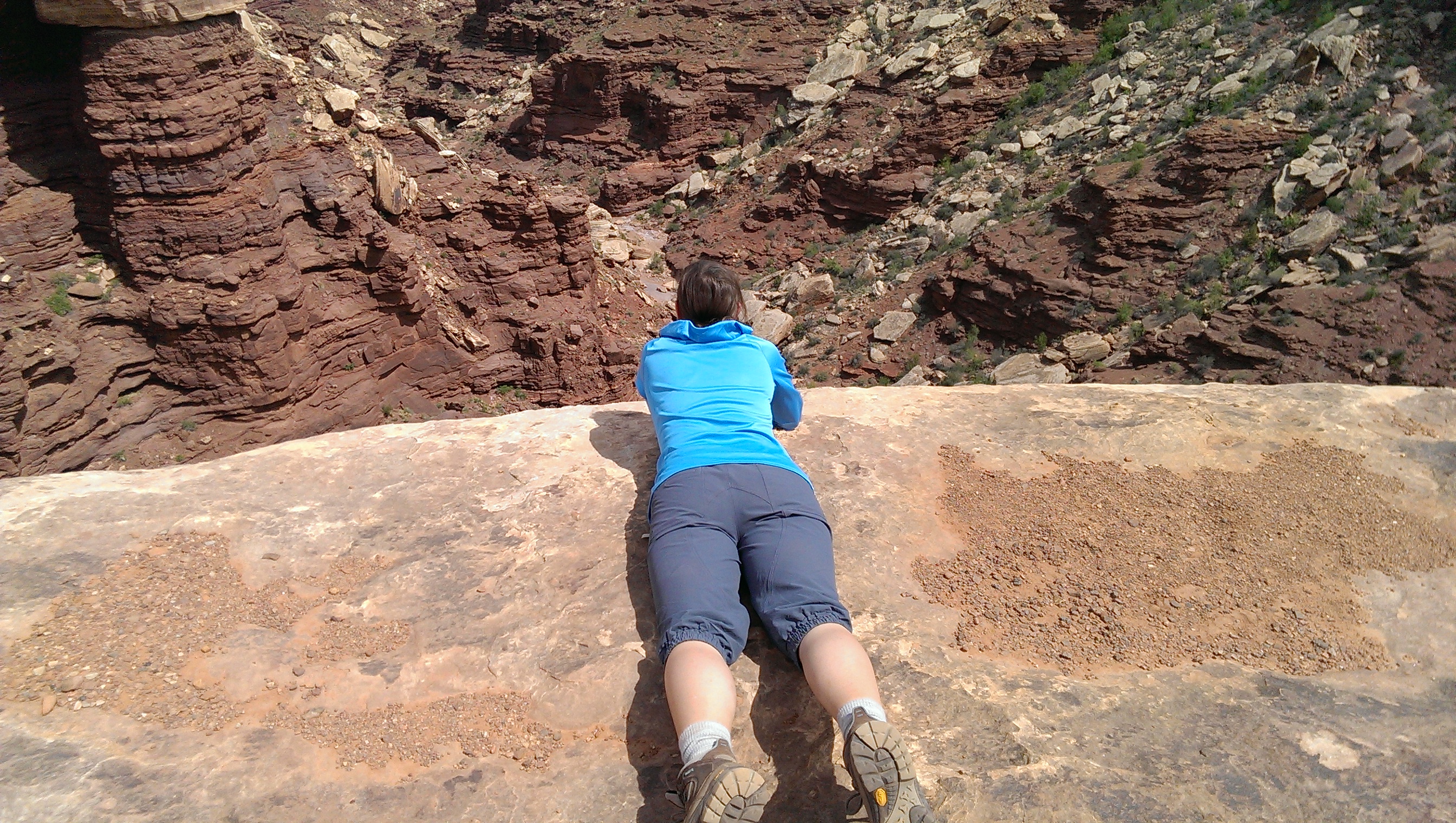
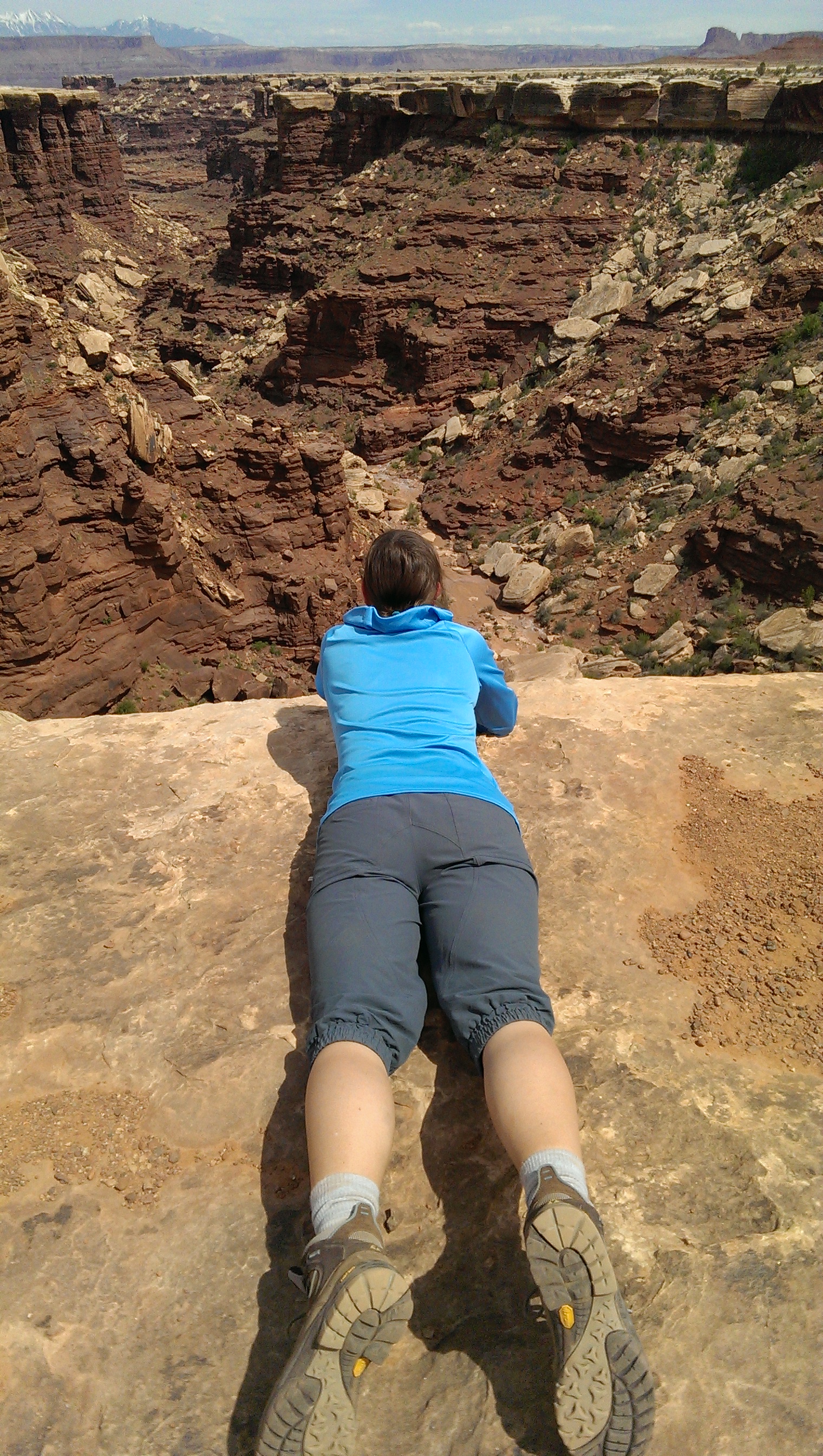
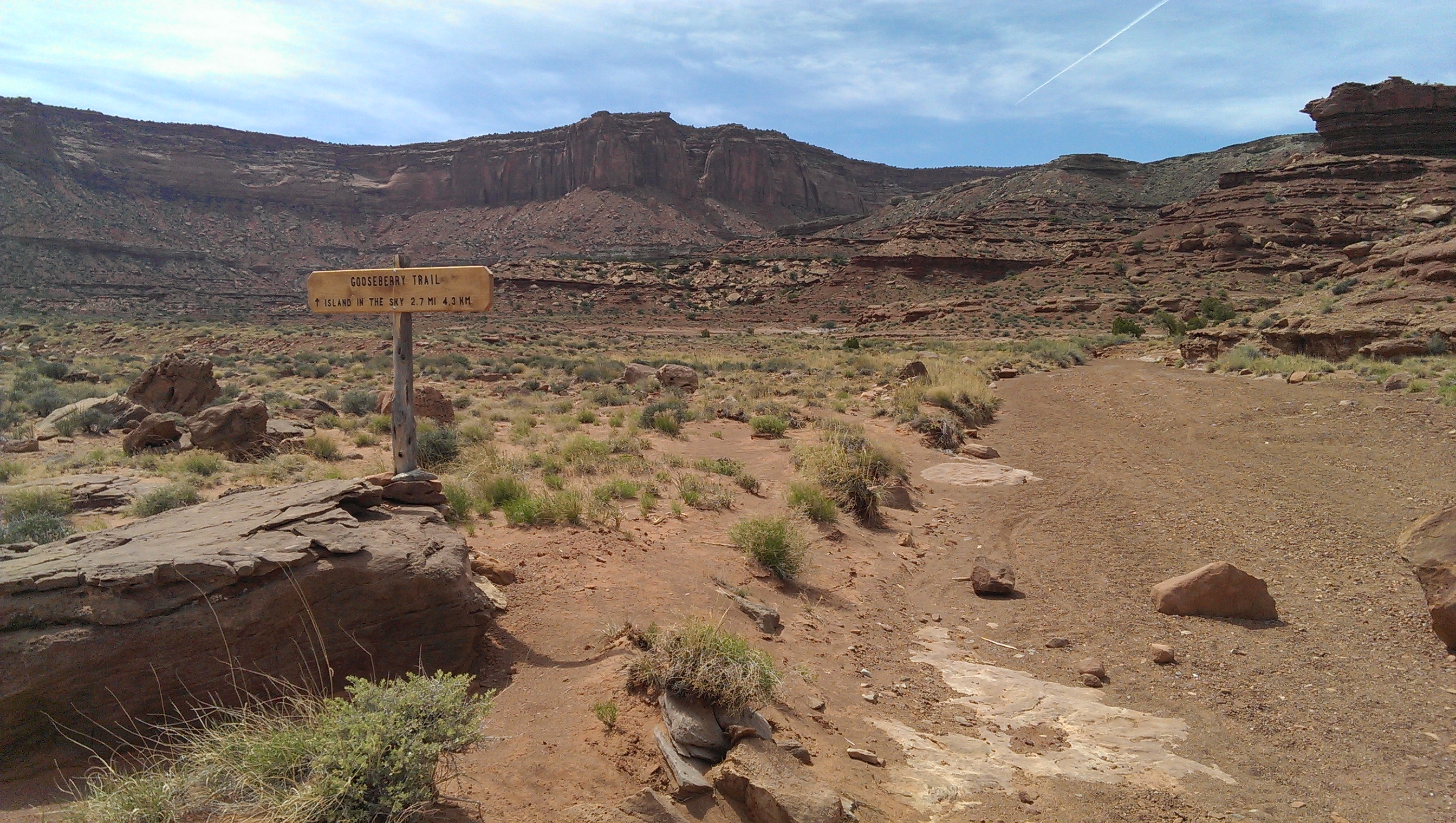
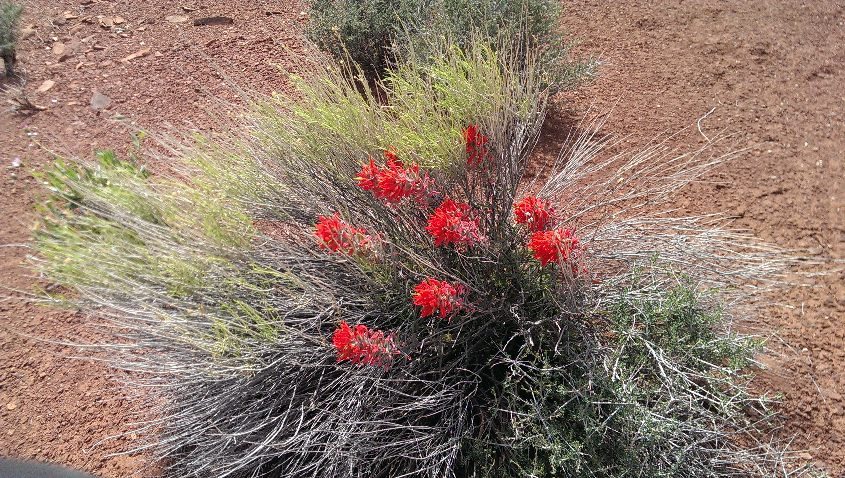
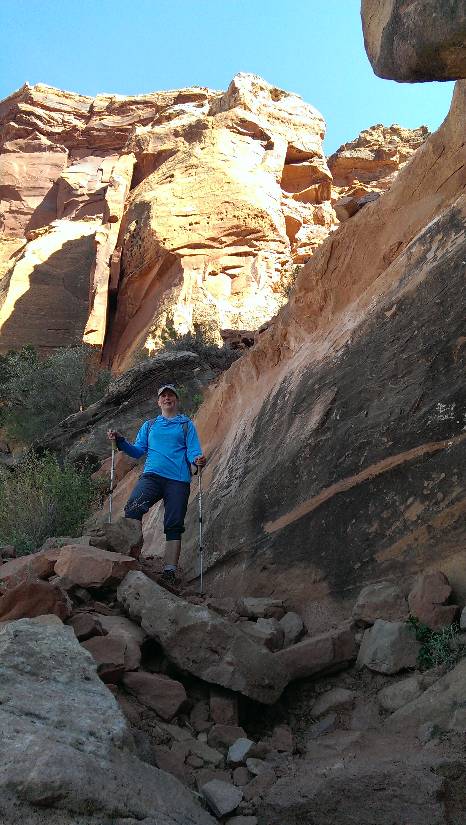
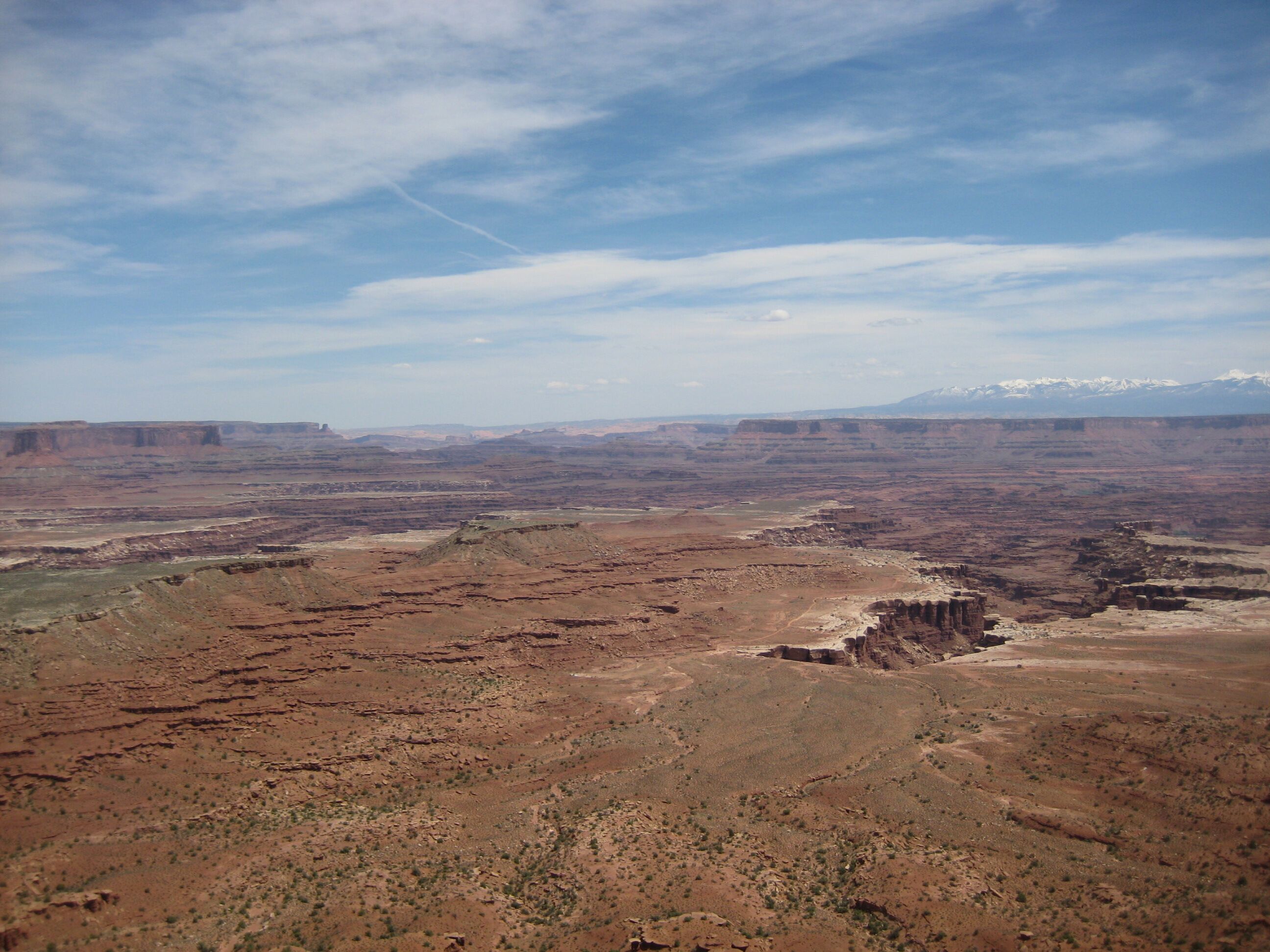
Photo credit: Y
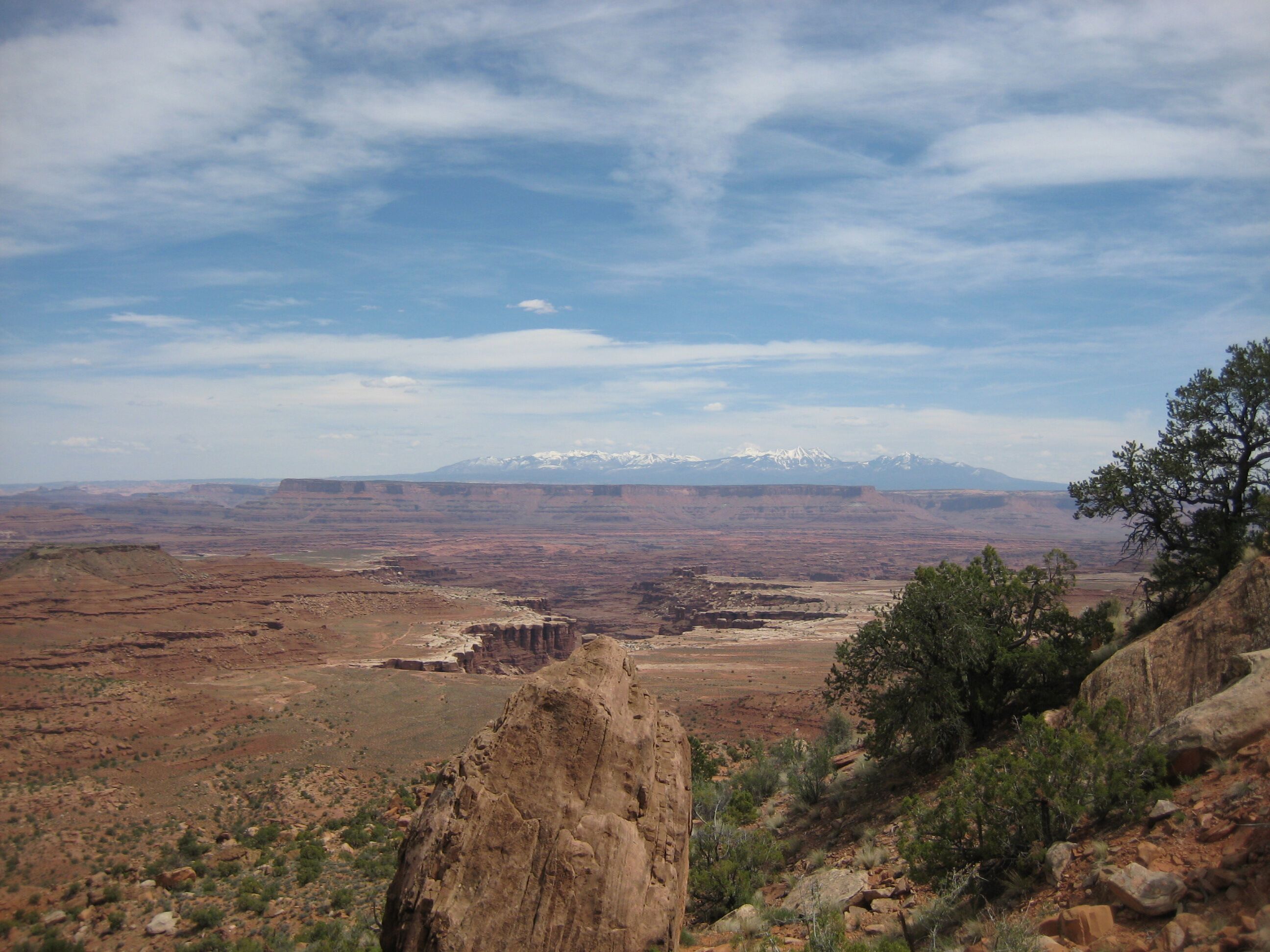
Photo credit: Y
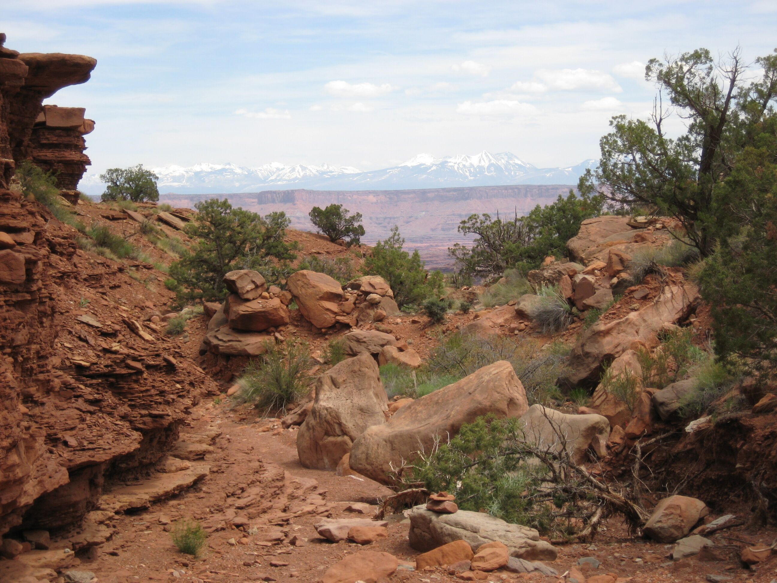
Photo credit: Y
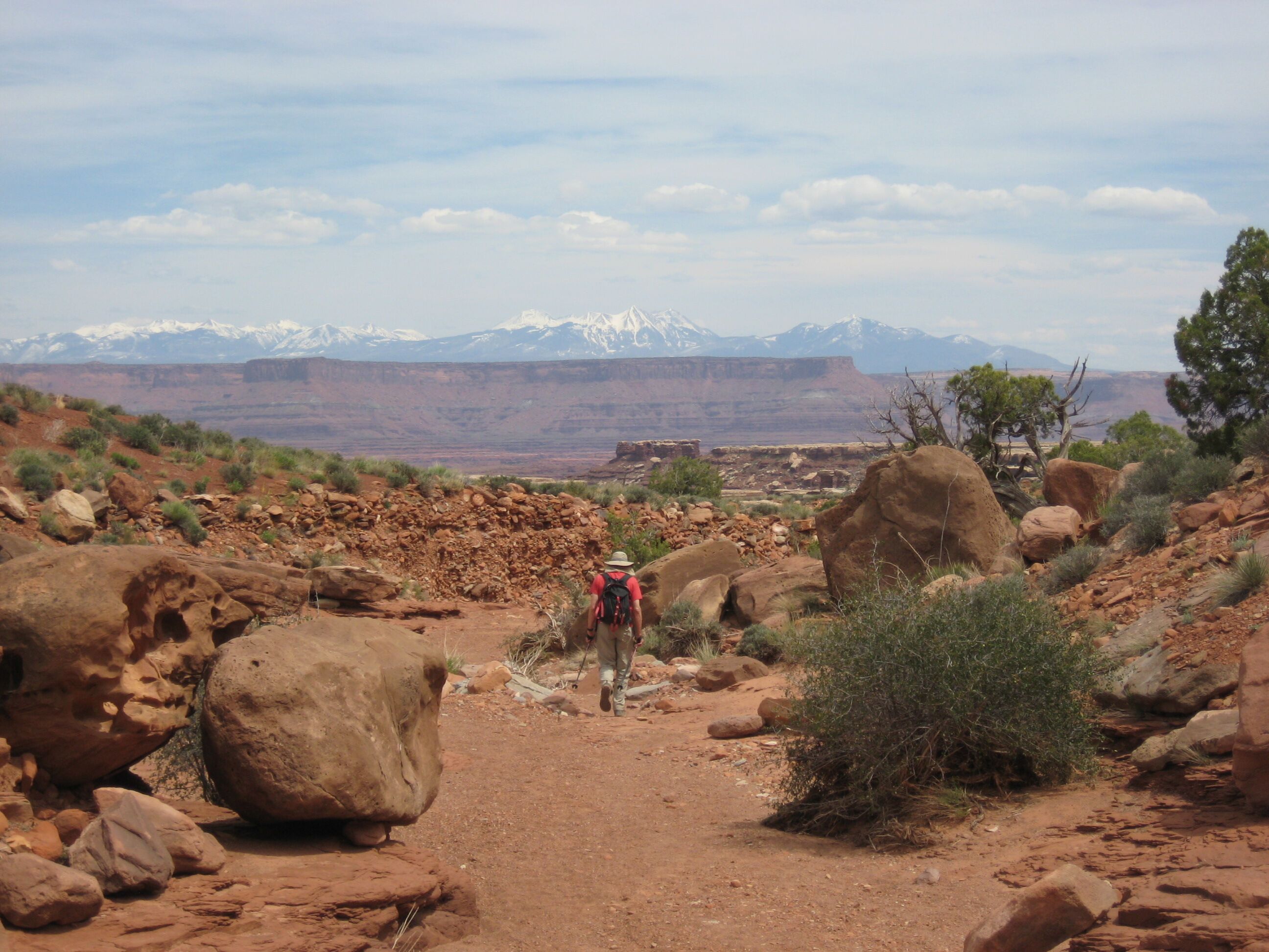
Photo credit: Y
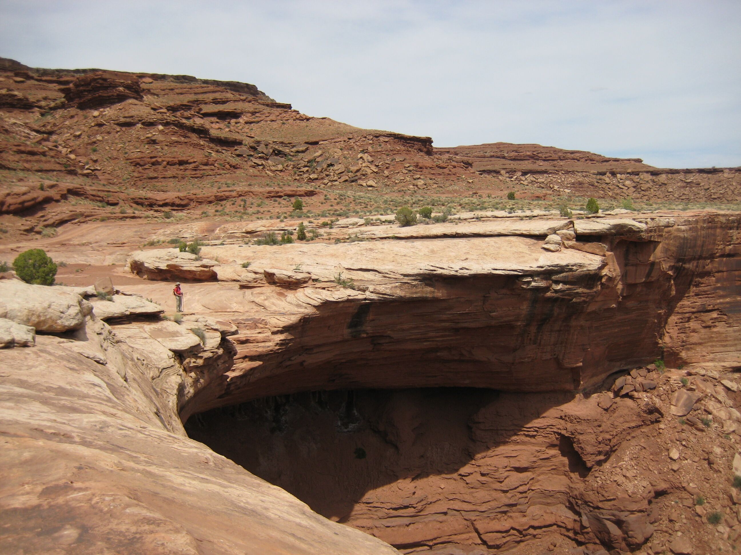
Photo credit: Y
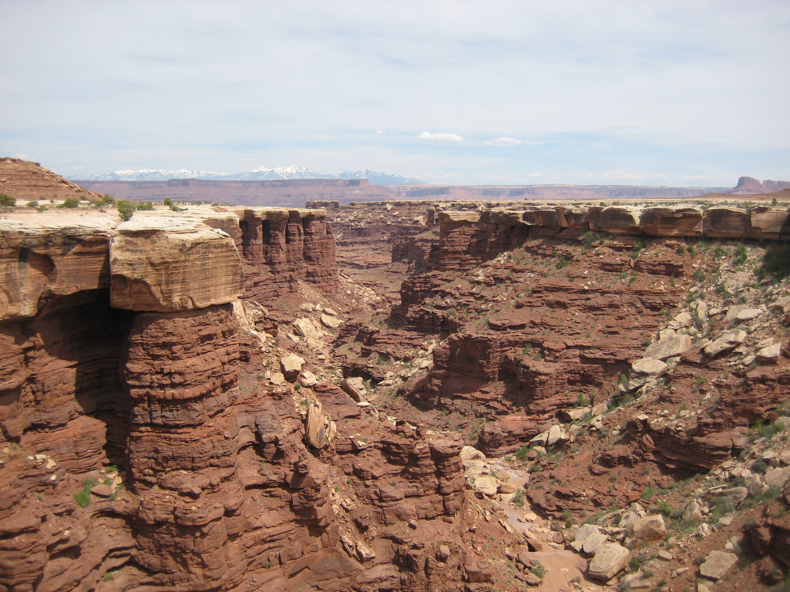
Photo credit: Y
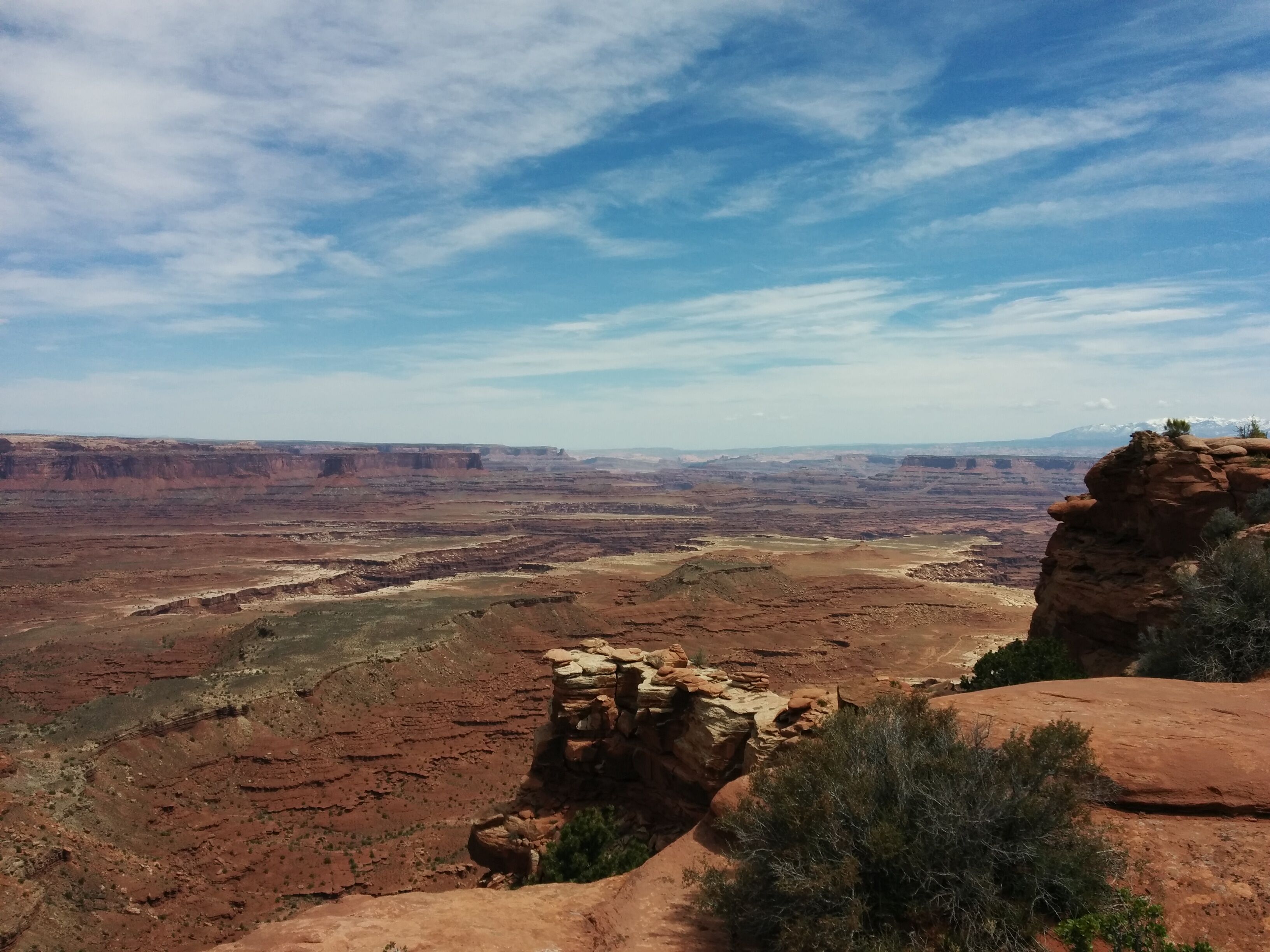
Photo credit: Y
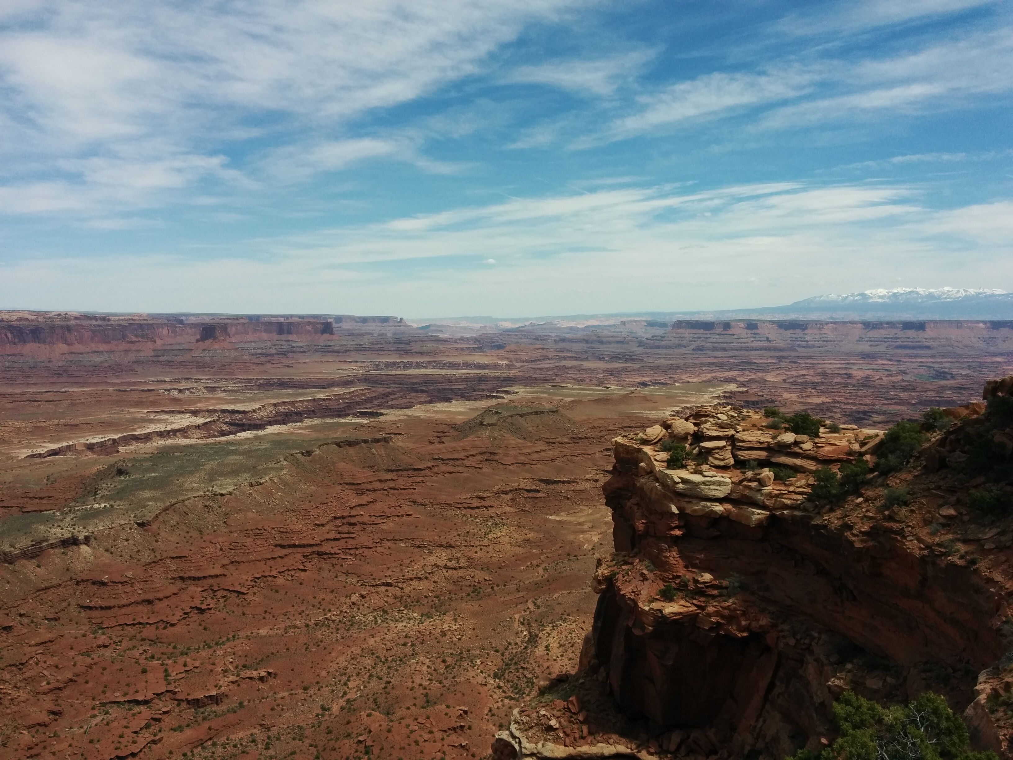
Photo credit: Y
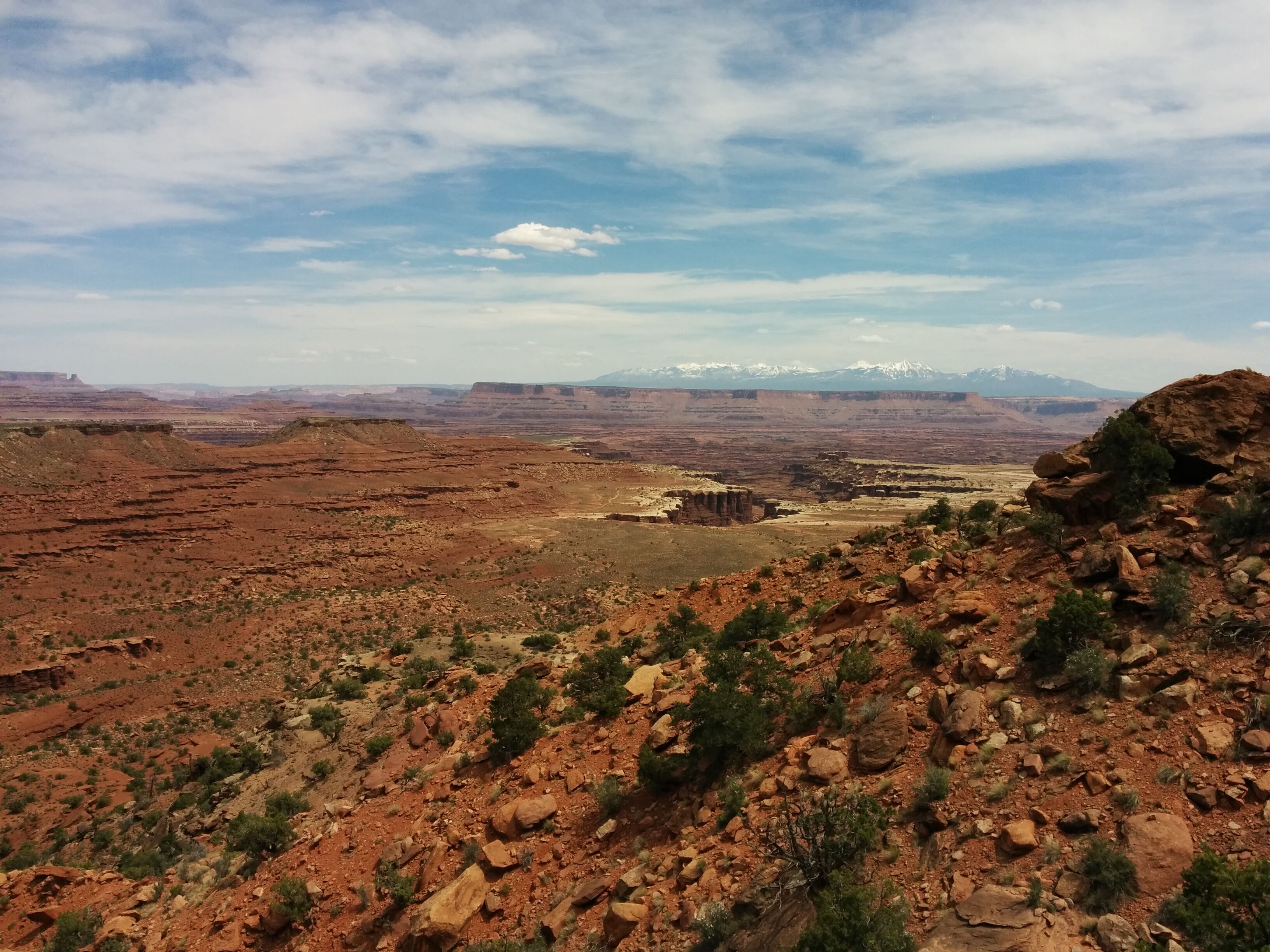
Photo credit: Y
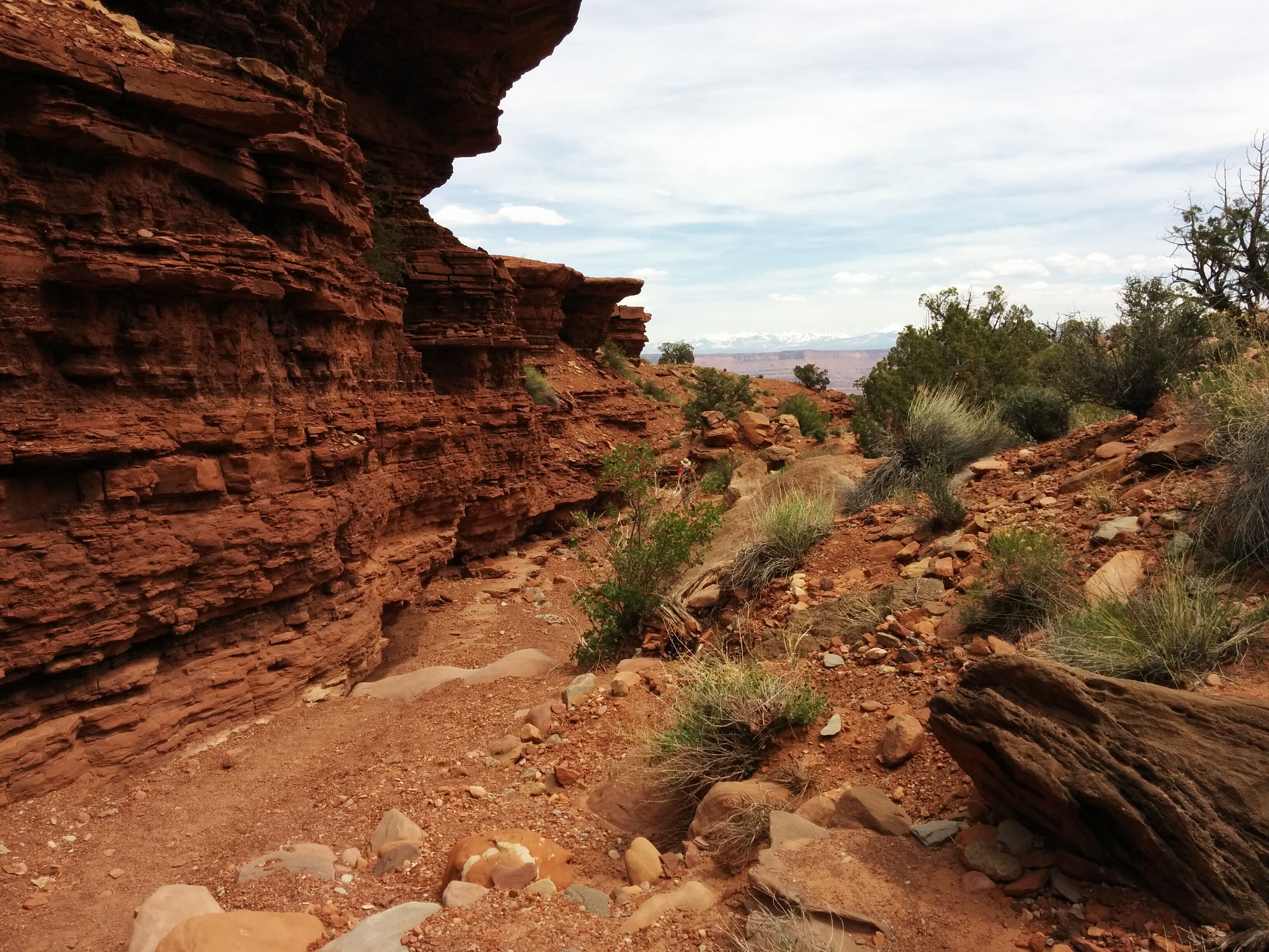
Photo credit: Y
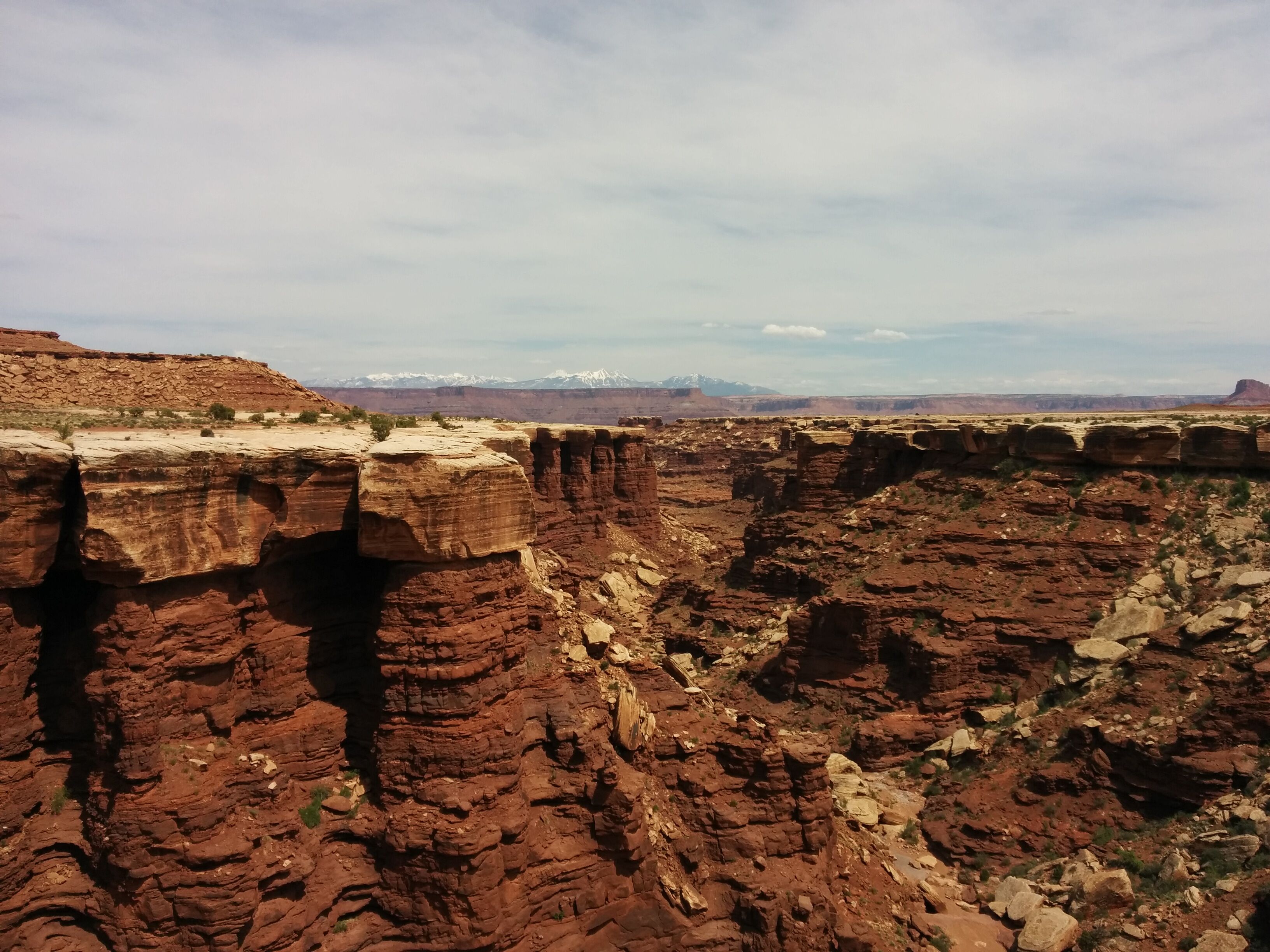
Photo credit: Y
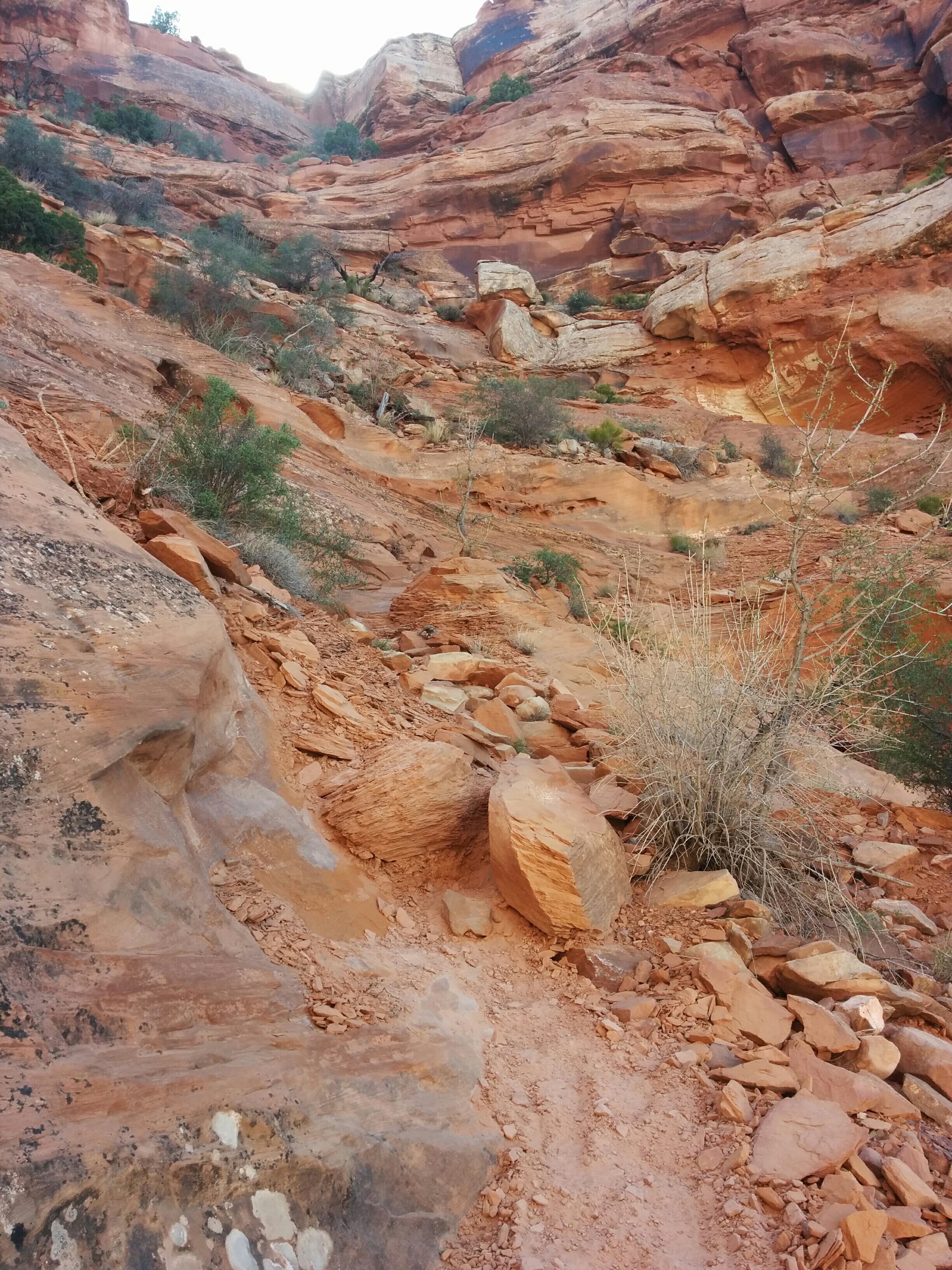
Photo credit: Y
We stop at the "Overlooked Overlook", which has a spectacular view and is extremely windy, almost claiming D's cap.
Drive to Moab. We expected it to be a hip outdoorsy bicycle-friendly town, but instead it's bullshit - swarming with giant ATVs SUVs, and dirt bikes. The businesses are all along the highway.
Chili Cycles is out of bikes, but we manage to rent the last 2 bikes at Moab Cyclery. Similarly, D apparently failed to actually make a reservation at the Bowen Motel, but we get the last remaining room. Fortuna smiles.
We stroll the main drag looking for dinner. The popular places are packed, with long waits. We end up at a Mexican chain restaurant which is barely mediocre. Y is relieved they don't ask us how our meal is, so we don't have to lie.
We look for after-dinner beer. The State-run 3.2% liquor store closes at 7, but the Moab Brewery has to-go sales. D makes the mistake of allowing Y to select a 22-oz. syrupy-sweet Belgian beer, which we sip on the motel balcony.
Sat 23 April
Short unexpected delay. D goes to Love Muffin Cafe. Y can't find him, gets anxious.
Pick up bikes - Specialized Camber, $2800. Fancy car rack. Pedal gloves.
Drive to Moab Brands bike trail area w/ minor navigational problem.
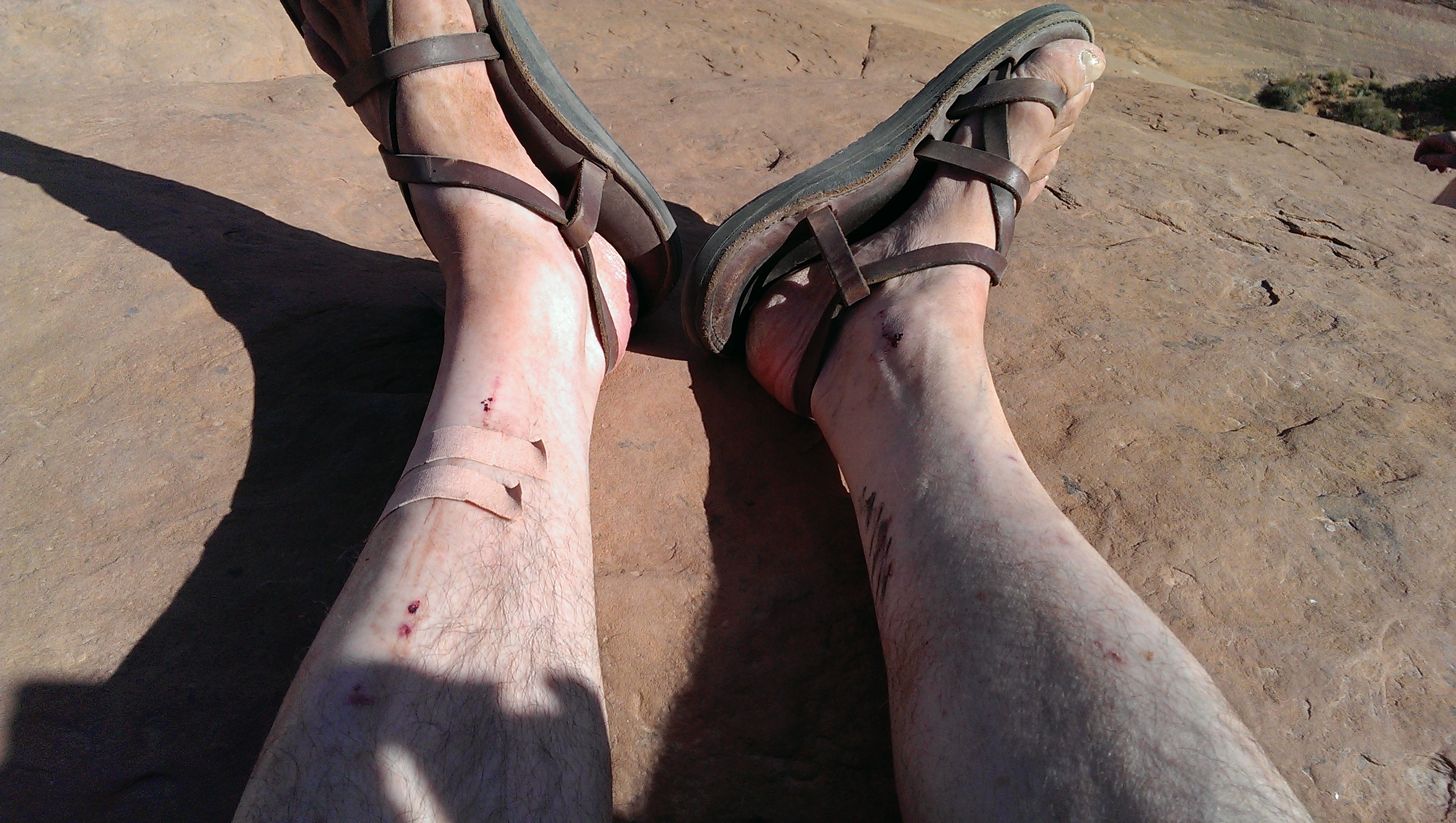
Start off on Lazy/EZ loop. Immediately challenging for D, who manages to fall over, sustaining multiple bruises and puncture wounds. Move to harder trail: Circle-O: slick-rock. A brown line marks trail across huge rolling sandstone. Unpleasantly bumpy. Howling winds make it hard to ride in straight line. Periodic V-shaped ravines. D endures repeated testicular bruising as well as bruised coccyx, bruised knee, and more puncture wounds while attempting to walk bike. Thankfully, Y has 2 band-aids with which to stanch bleeding.
Y is enjoying herself; D, not so much.
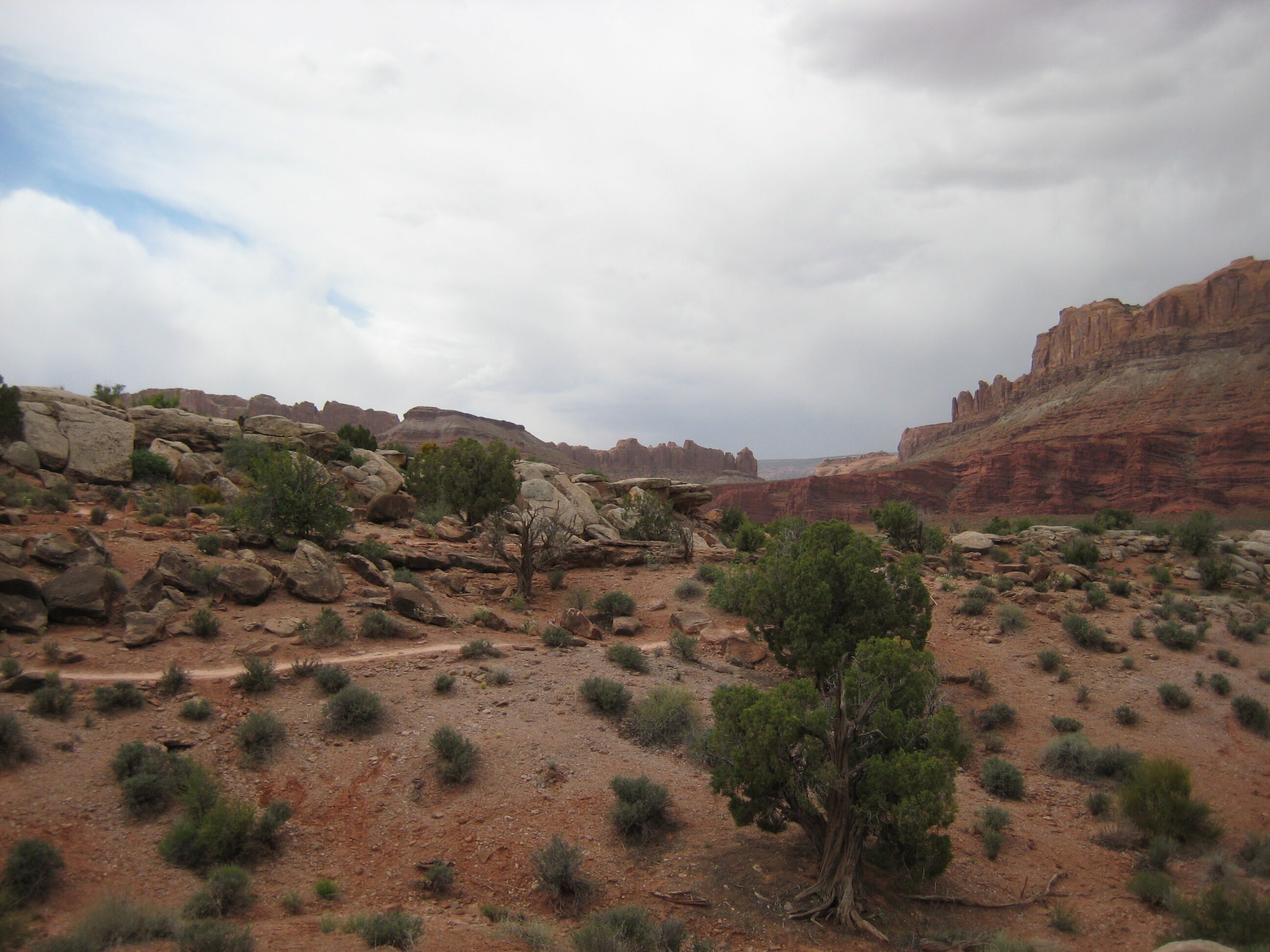
Photo credit: Y
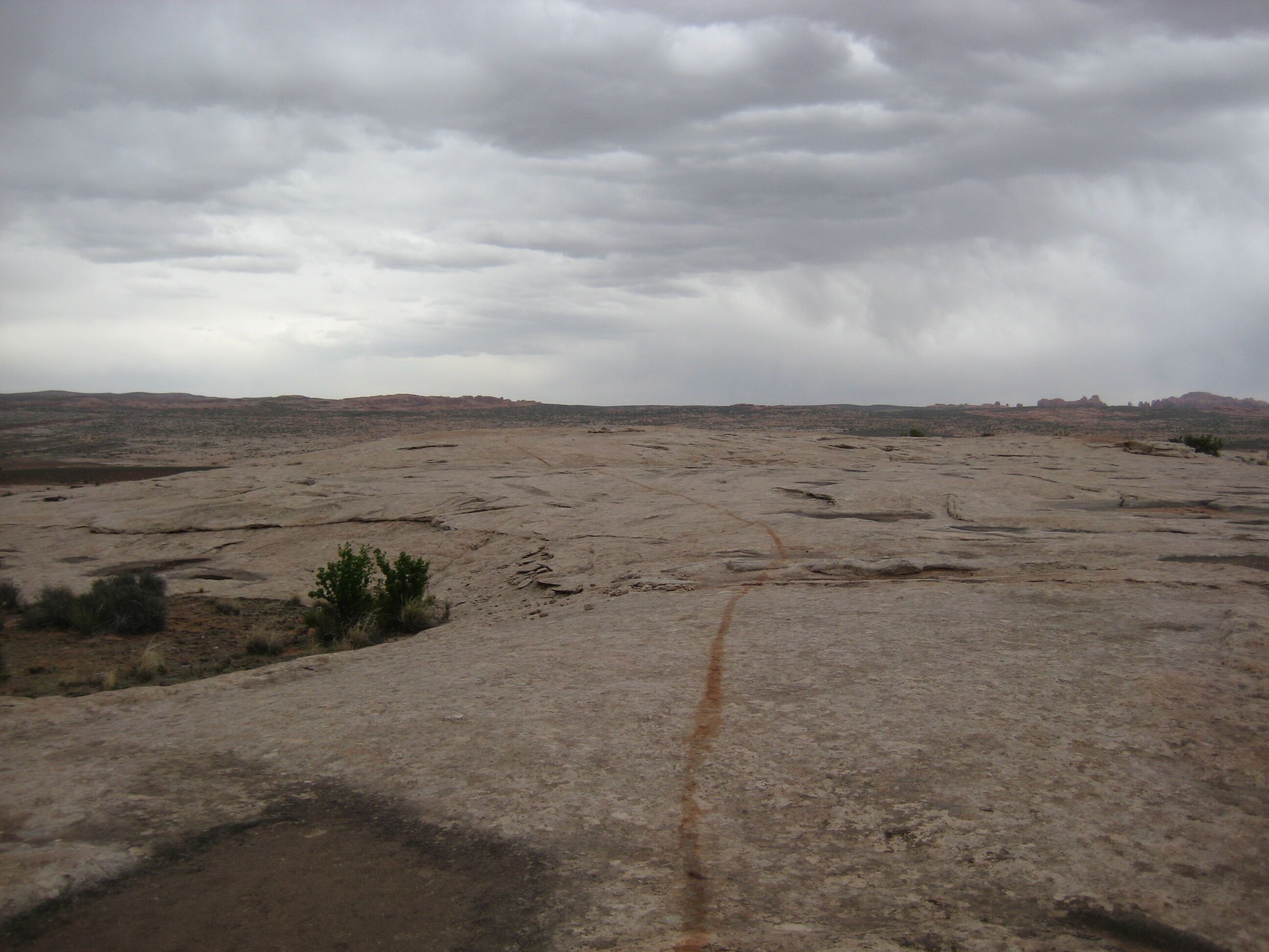
Photo credit: Y
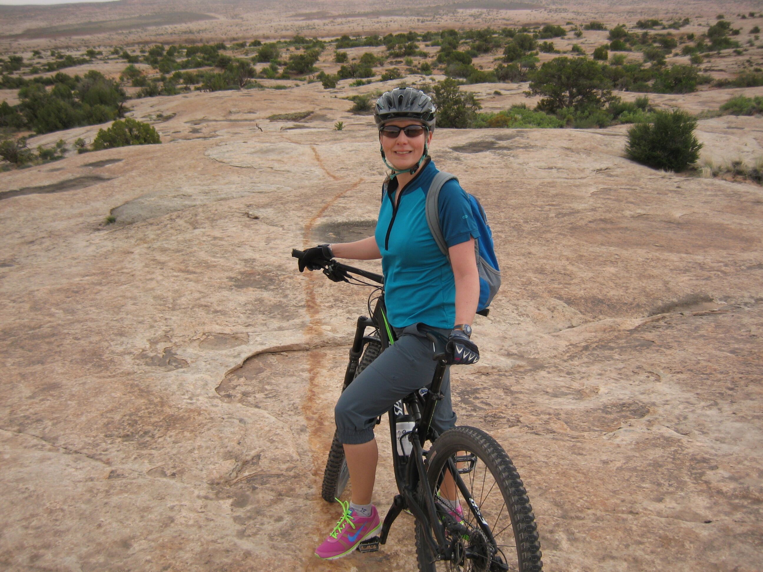
Photo credit: Y
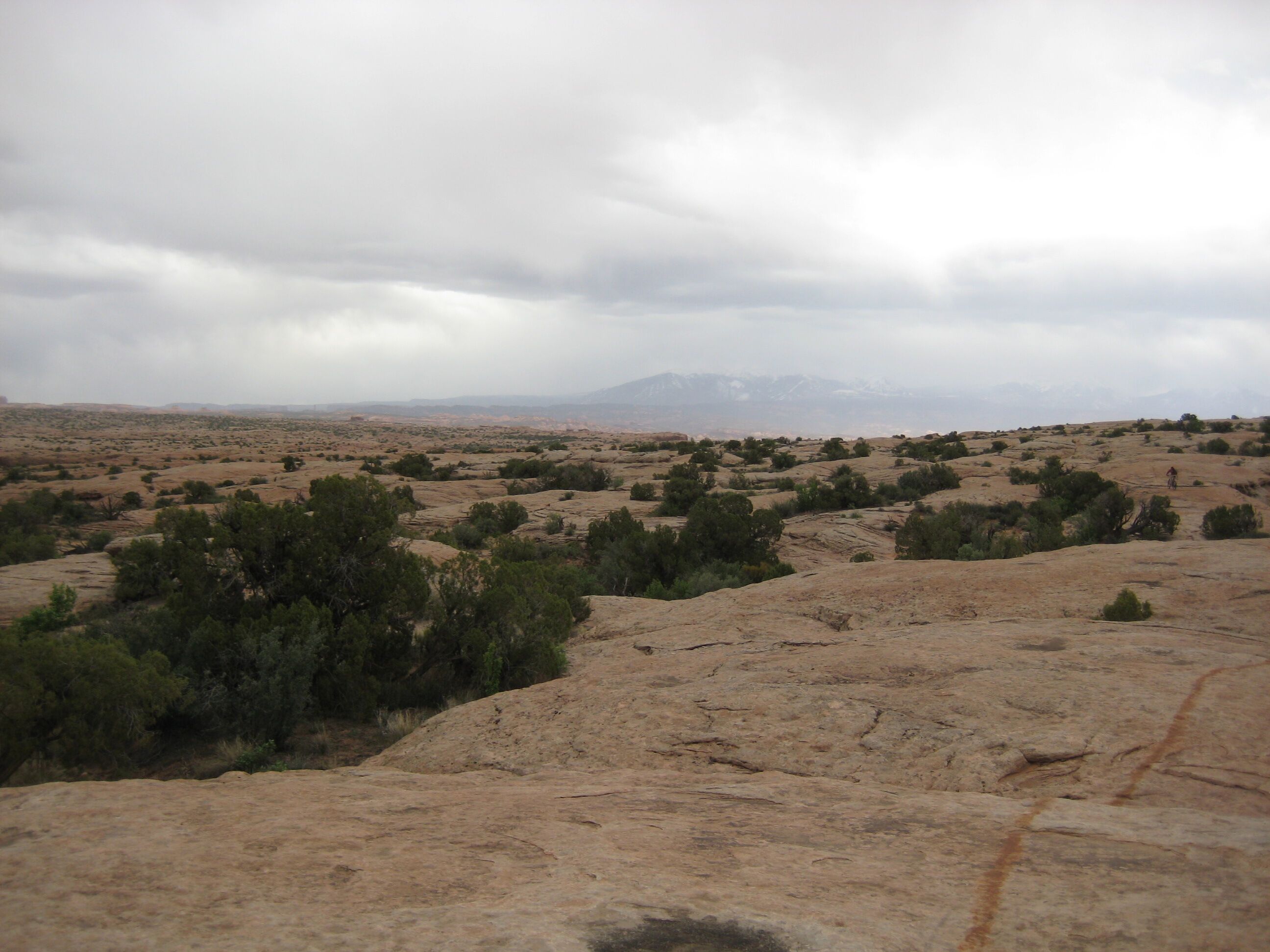
Photo credit: Y
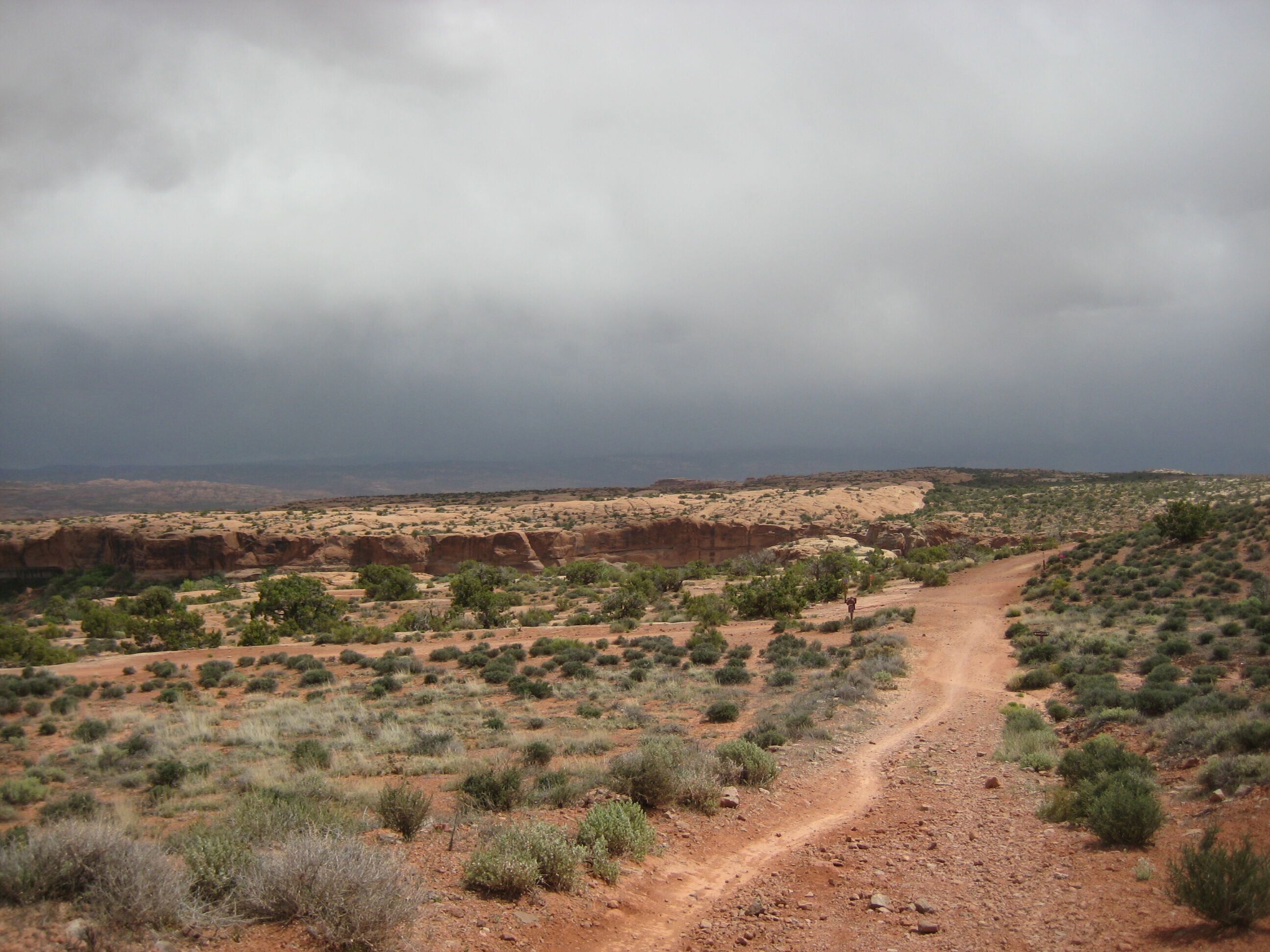
Photo credit: Y
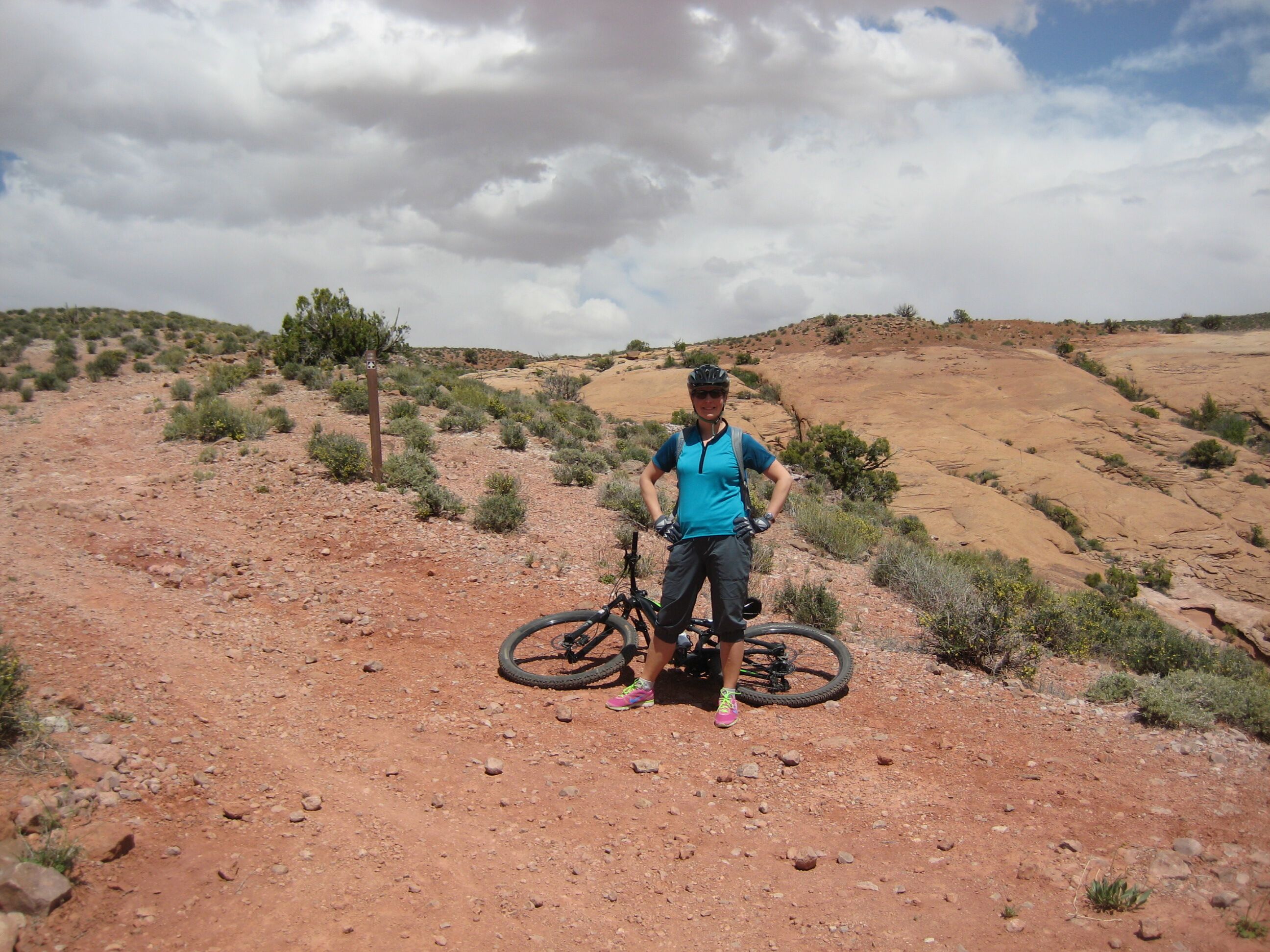
Photo credit: Y
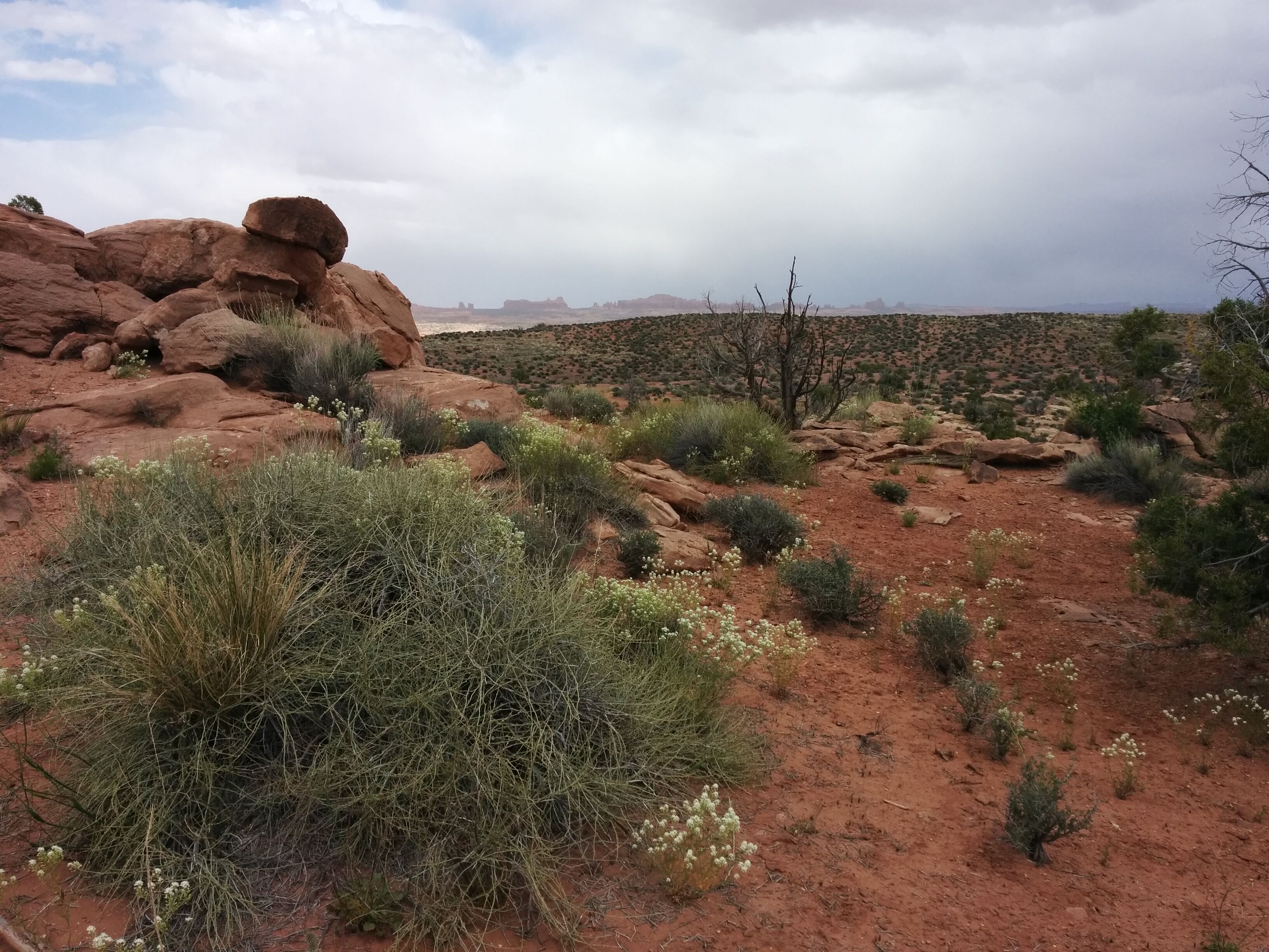
Photo credit: Y
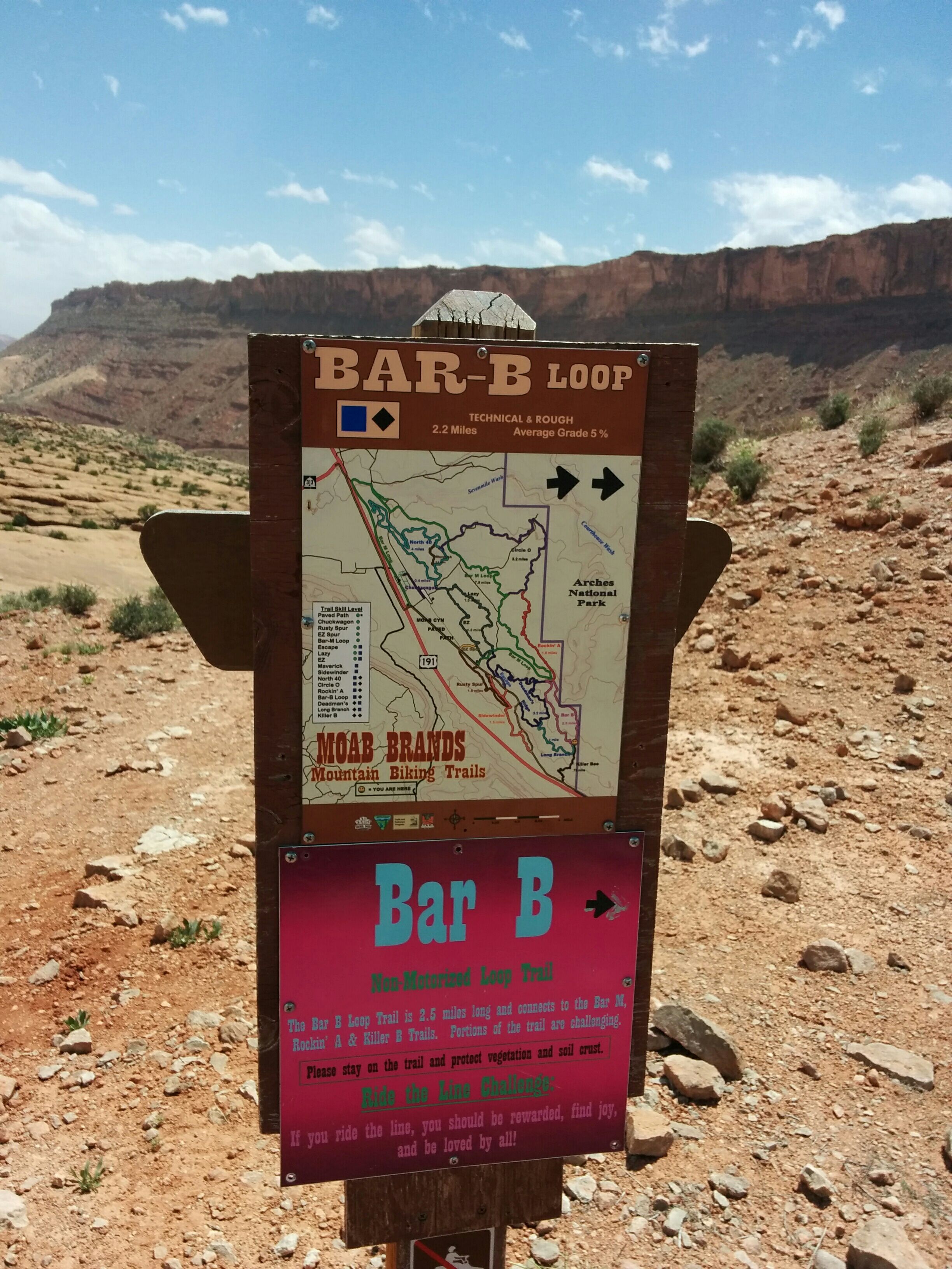
Photo credit: Y
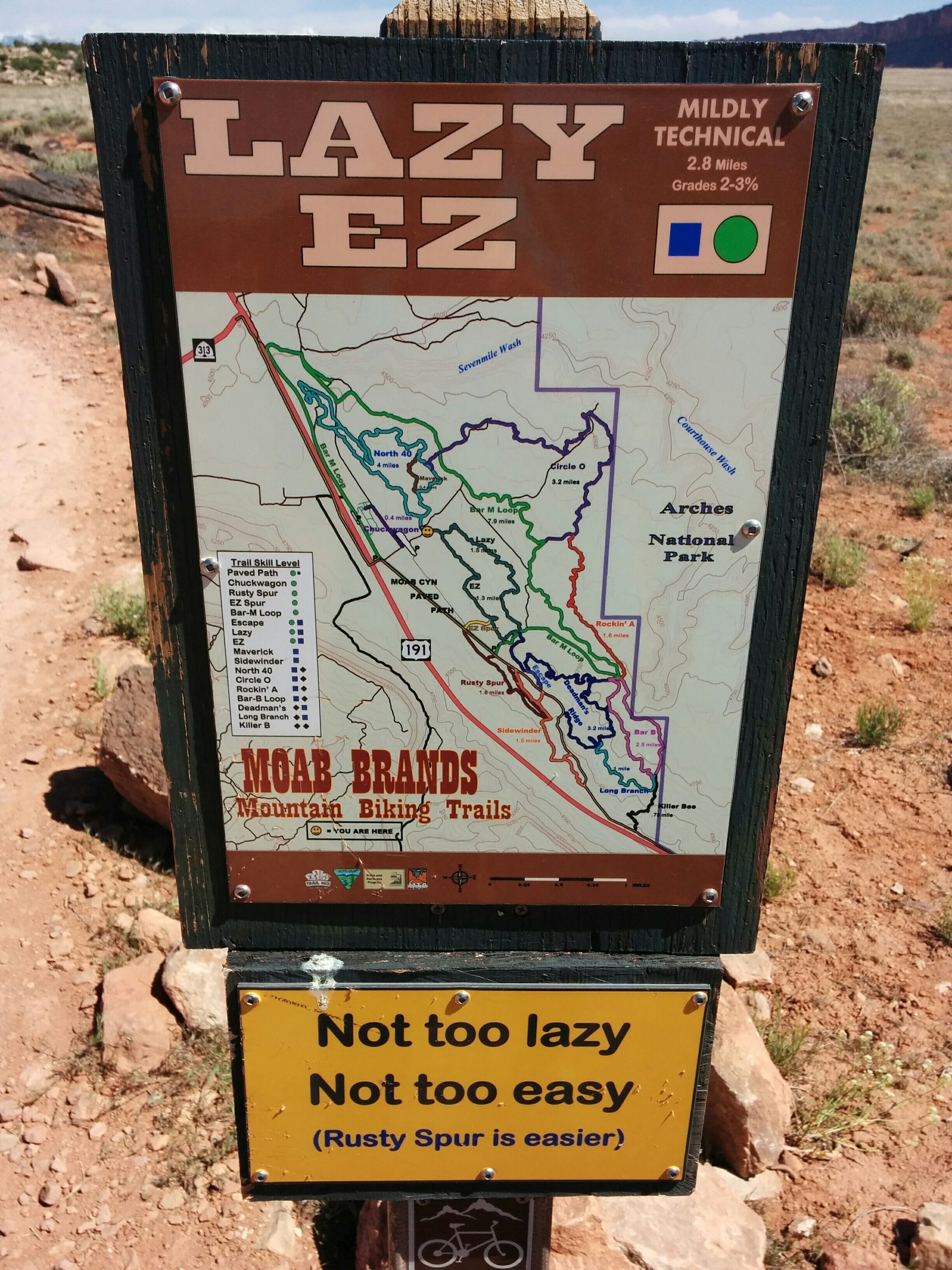
Photo credit: Y
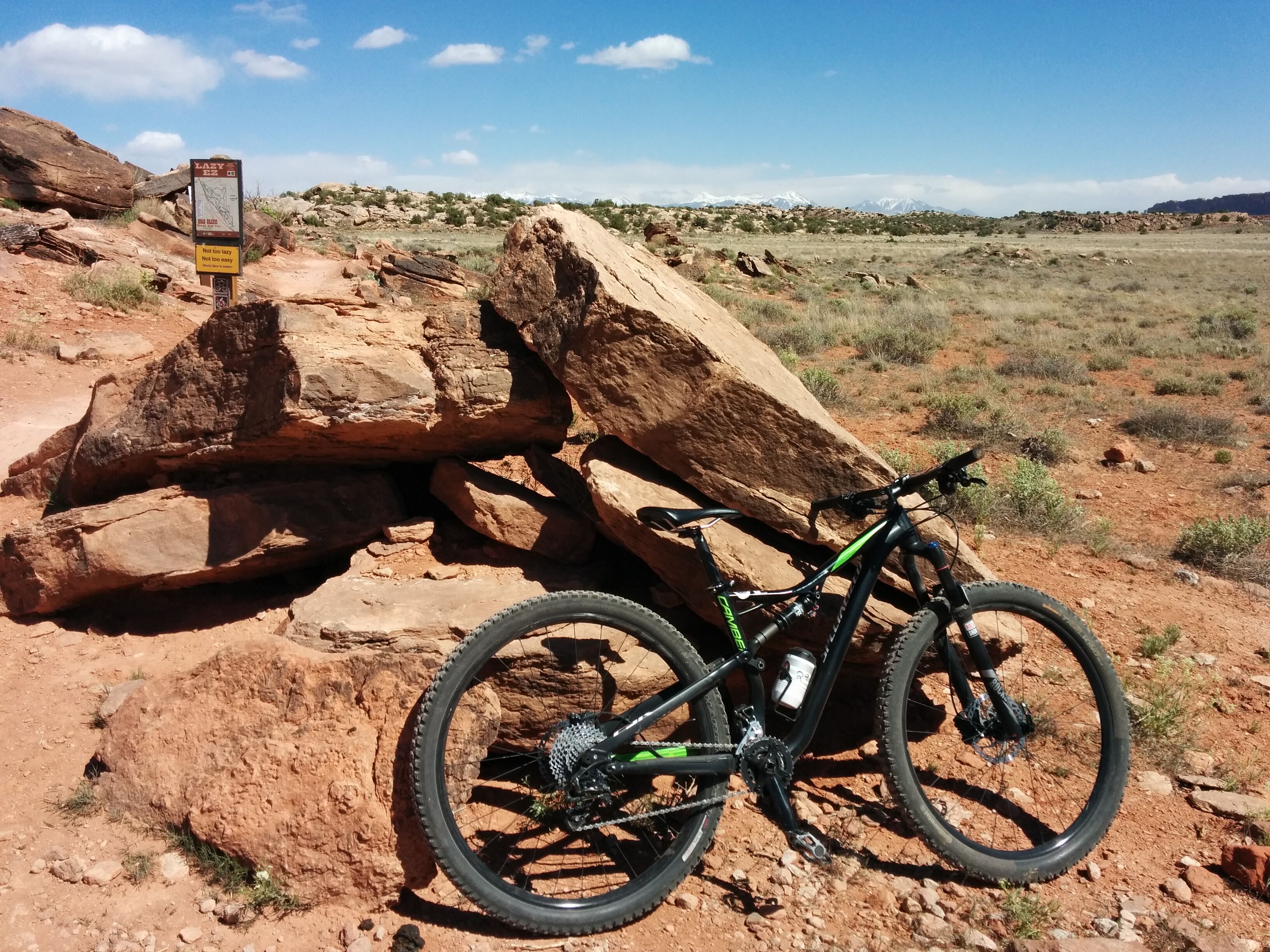
Photo credit: Y
Finally leave sandstone Hell. D, traumatized, returns to car and listens to Bach on CD player while munching potato chips. Y continues and rides 3 more hours: Bar-B and Rockin' A, which are even harder than Circle-O. Finds ride fun, spectacular, challenging but not excessively. Requires total attention. Can see why people get addicted. The bike makes her feel like powerful and amazing cyclist. Gets scoured by brief sandstorm, sand enters every orifice; takes Bar-M and Lazy/EZ to return.
Return bikes. Drive to Arches. Hike 1.5 miles to Delicate Arch: trail crosses was, goes up sandstone ramp, suddenly turn corner one spectacular amphitheater w/ arch on far side. D walks around to arch, loses blue cap to sudden gust of wind.
Y witnesses raven eating something from rock; so windy, drool is pulled from its beak, forms stream in mid-air, stains rock.
Y seeks to maximize tourist experience, drags us to windy and unimpressive Landscape Arch. Trail goes along impressively scalloped sandstone cliffs.
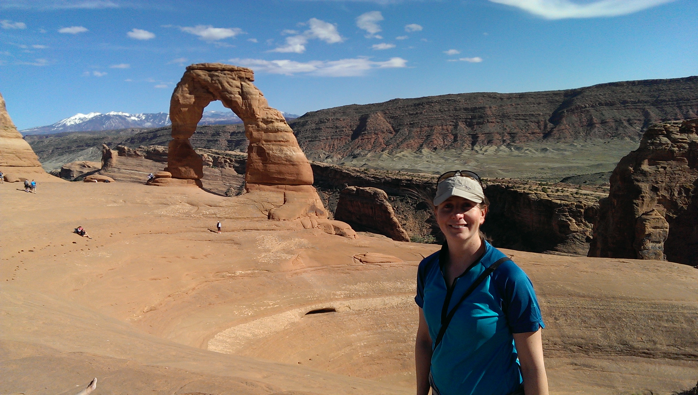
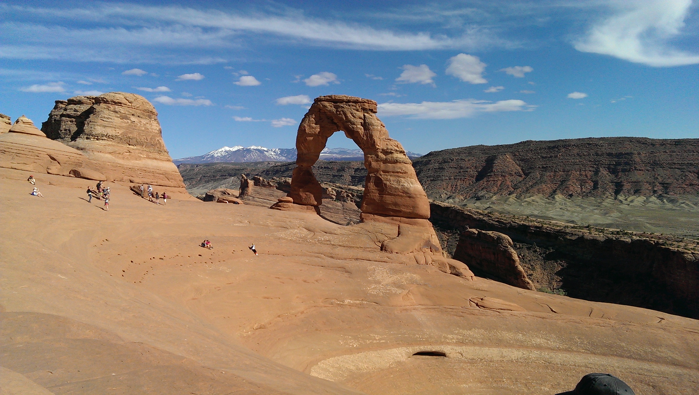
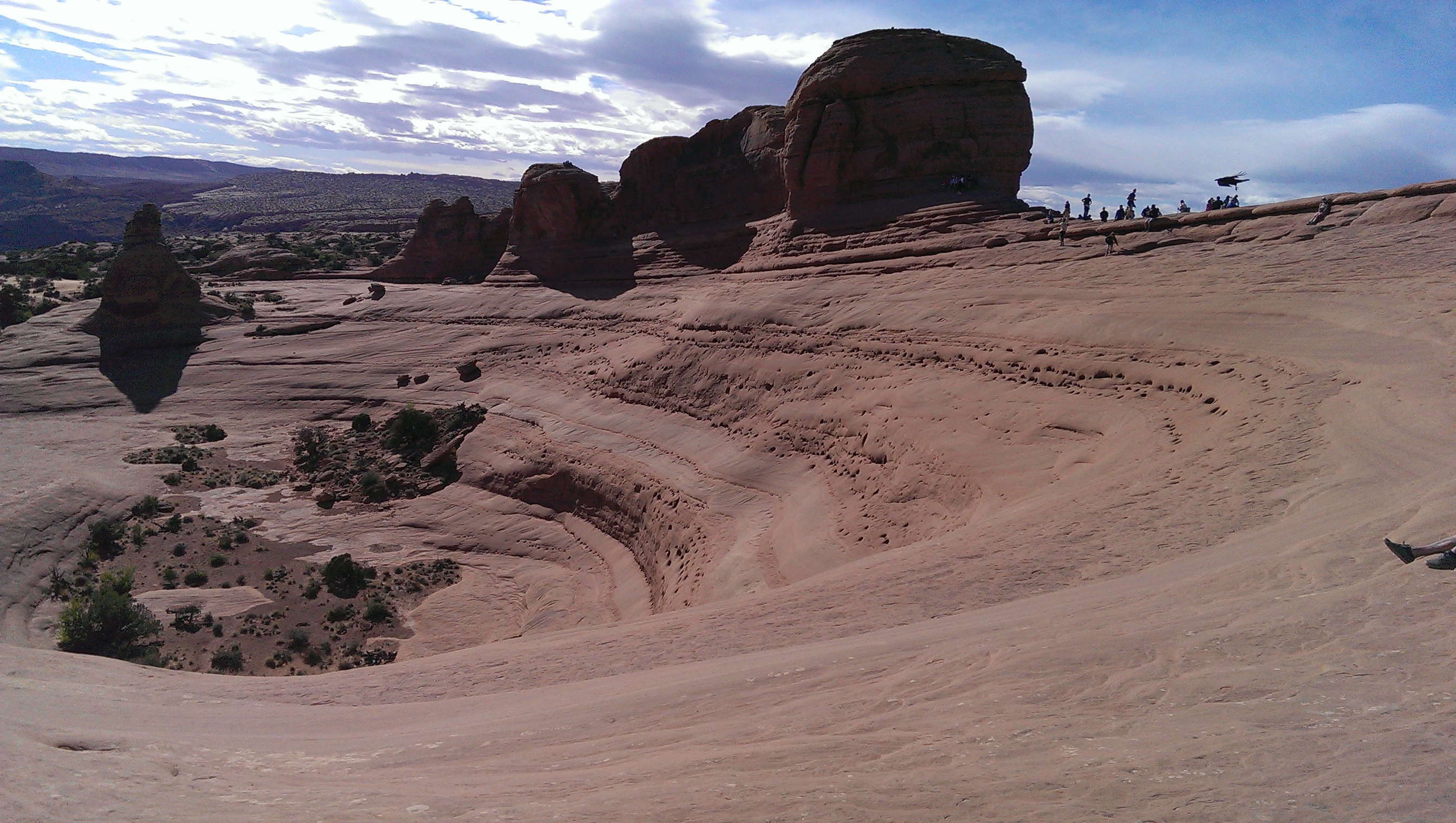
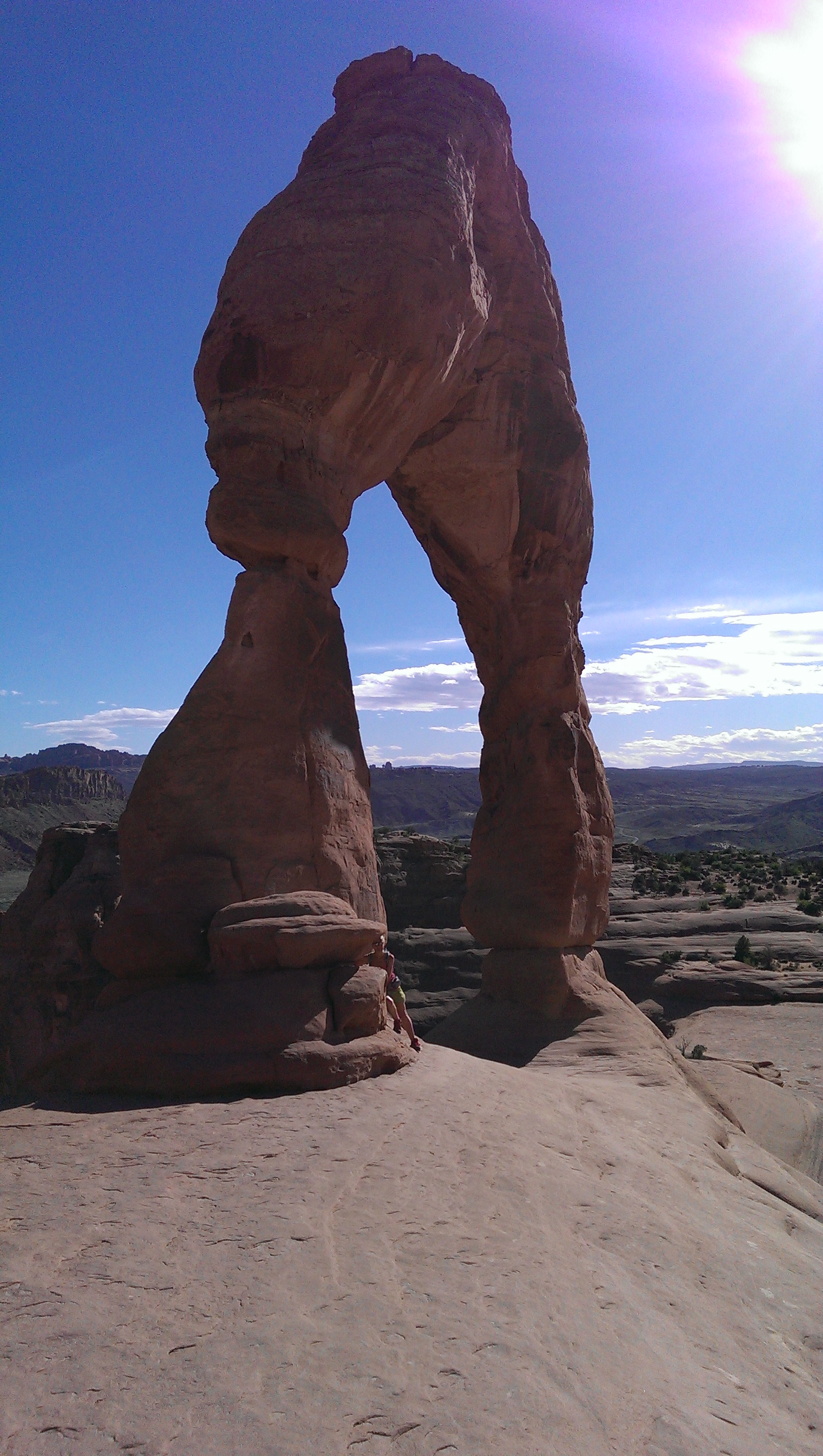
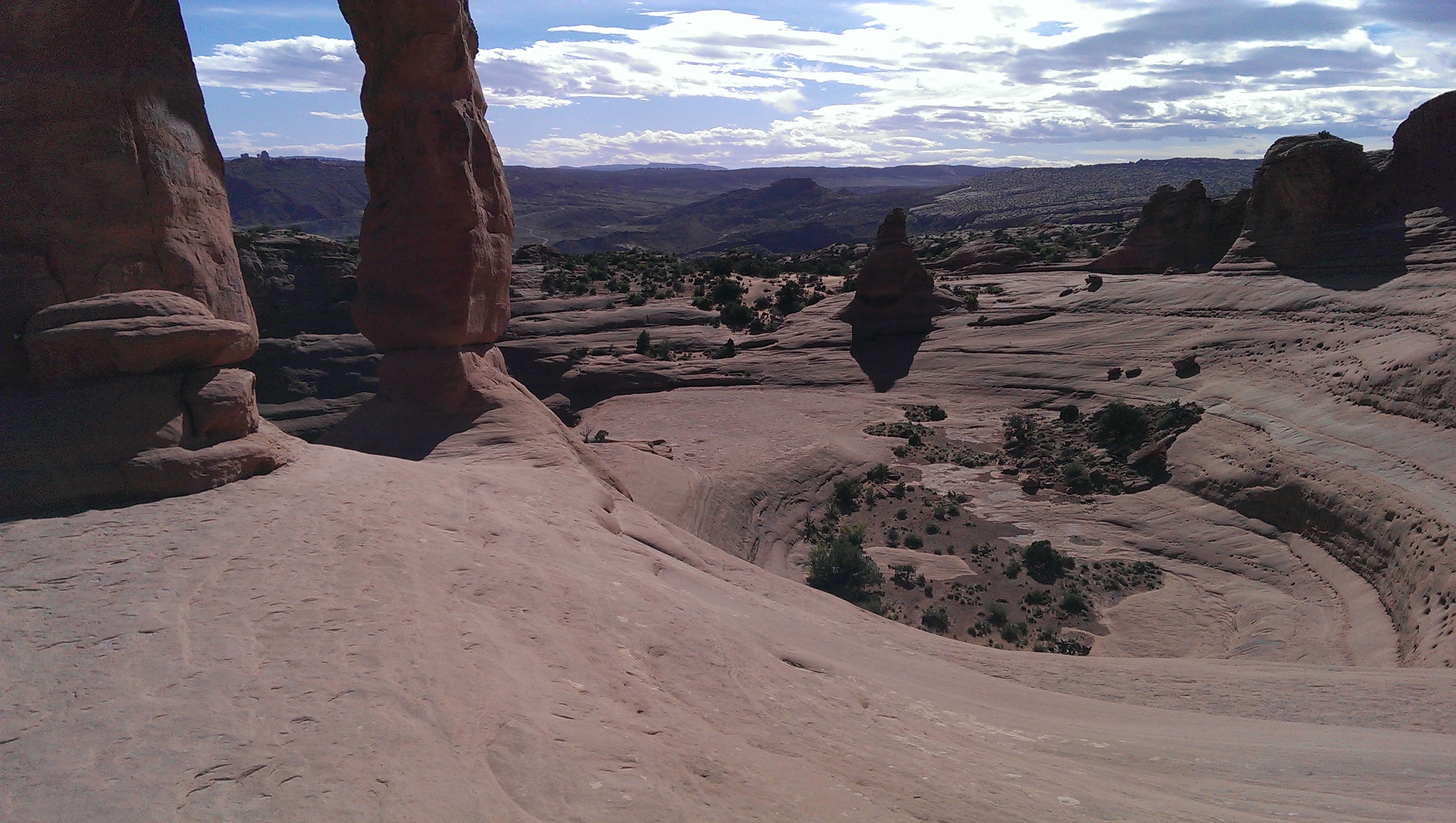
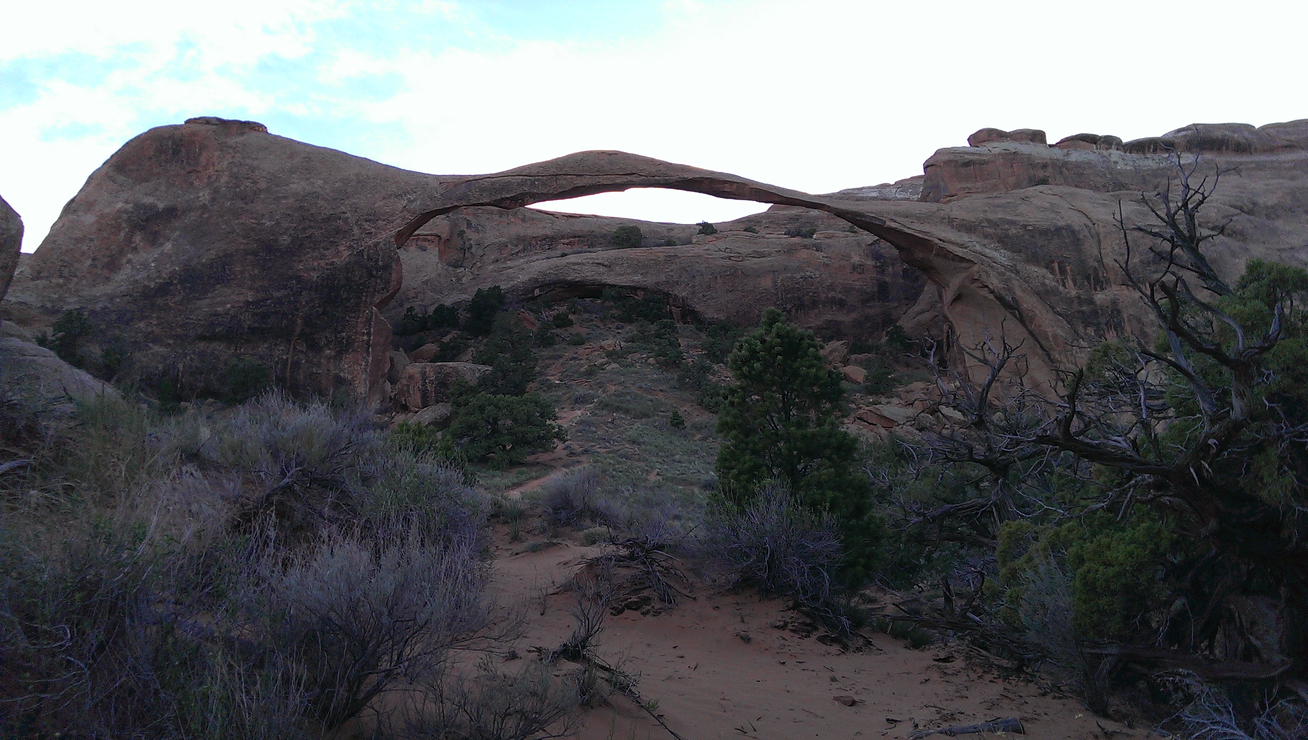
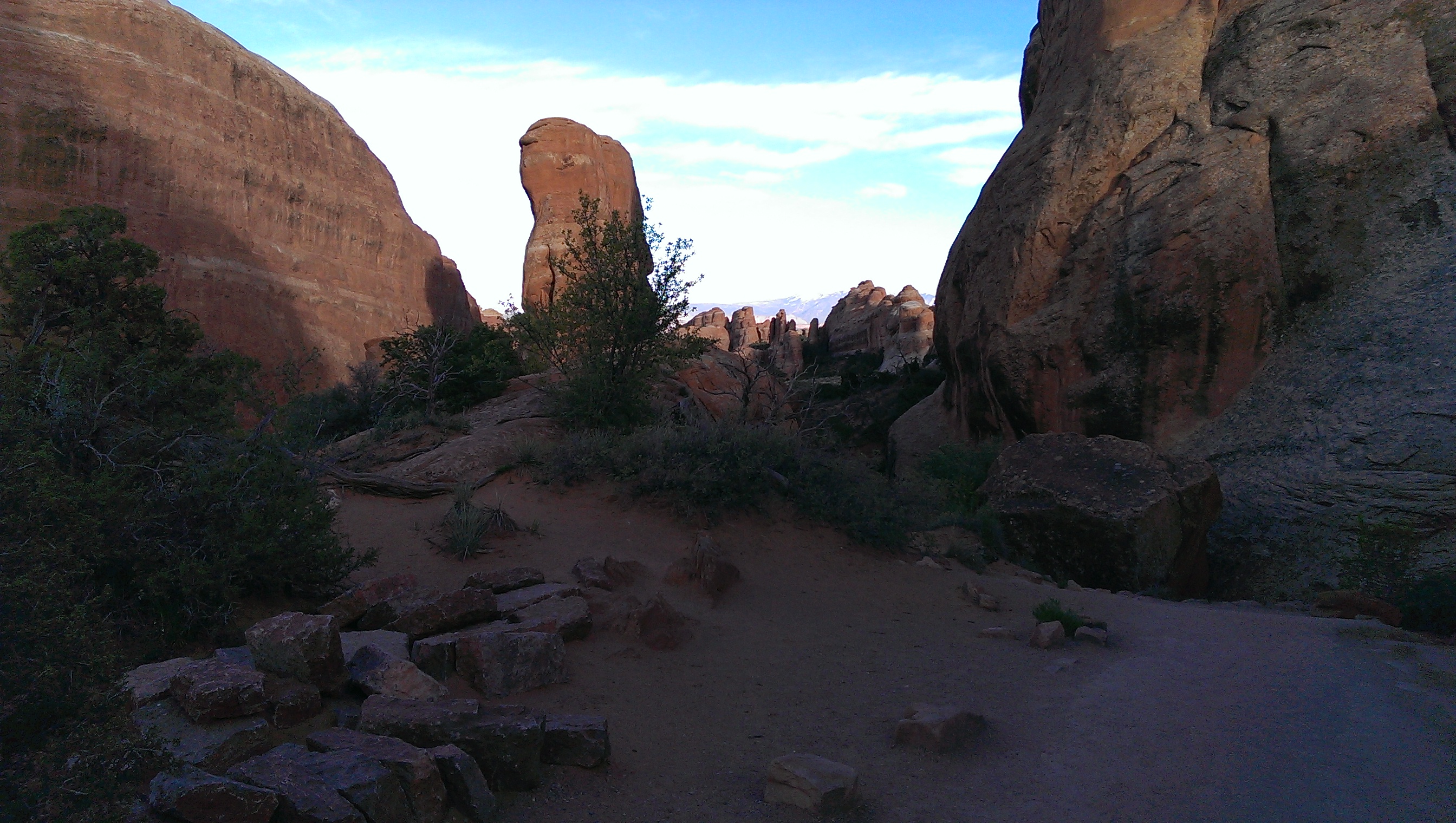
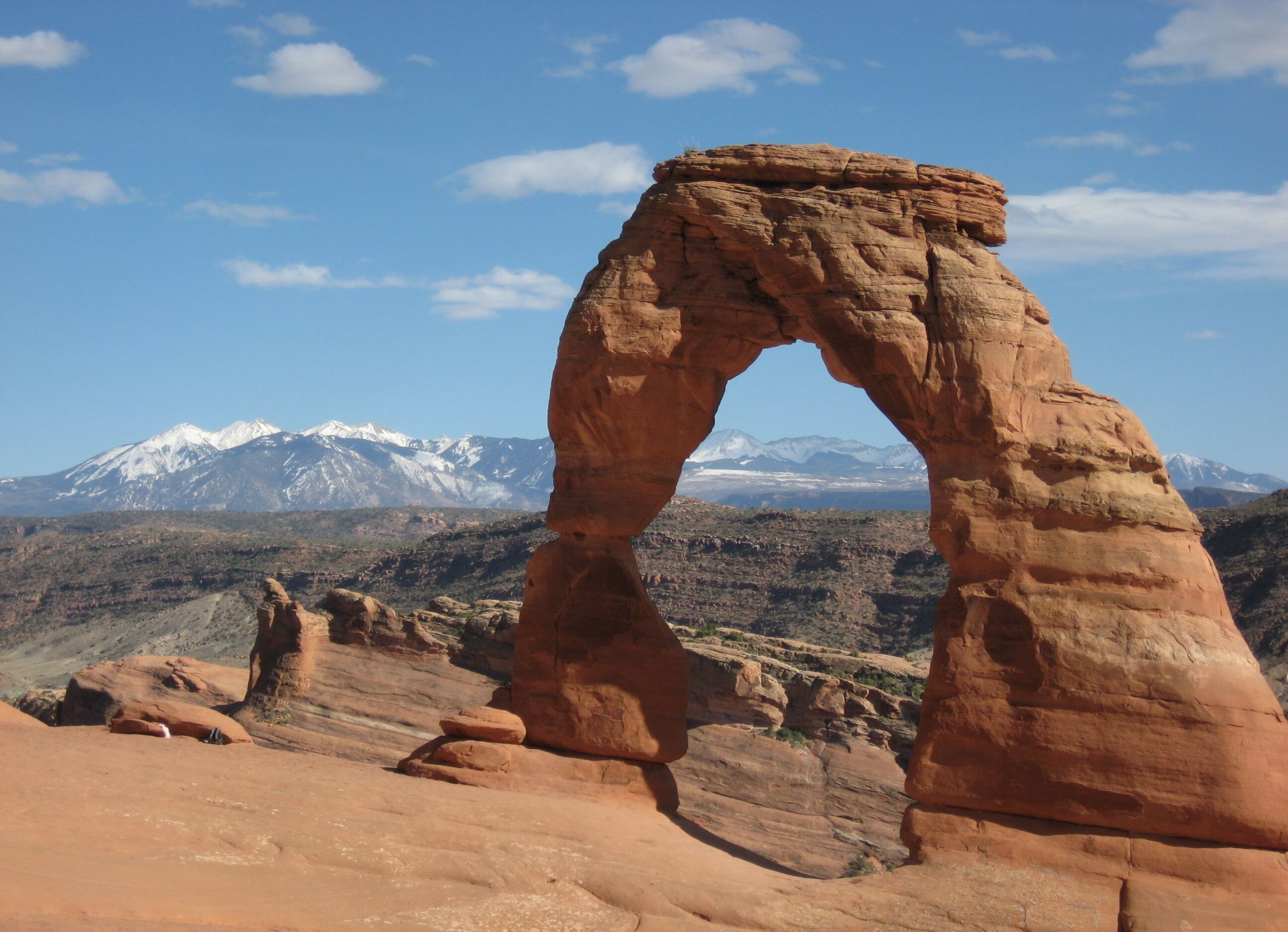
Photo credit: Y
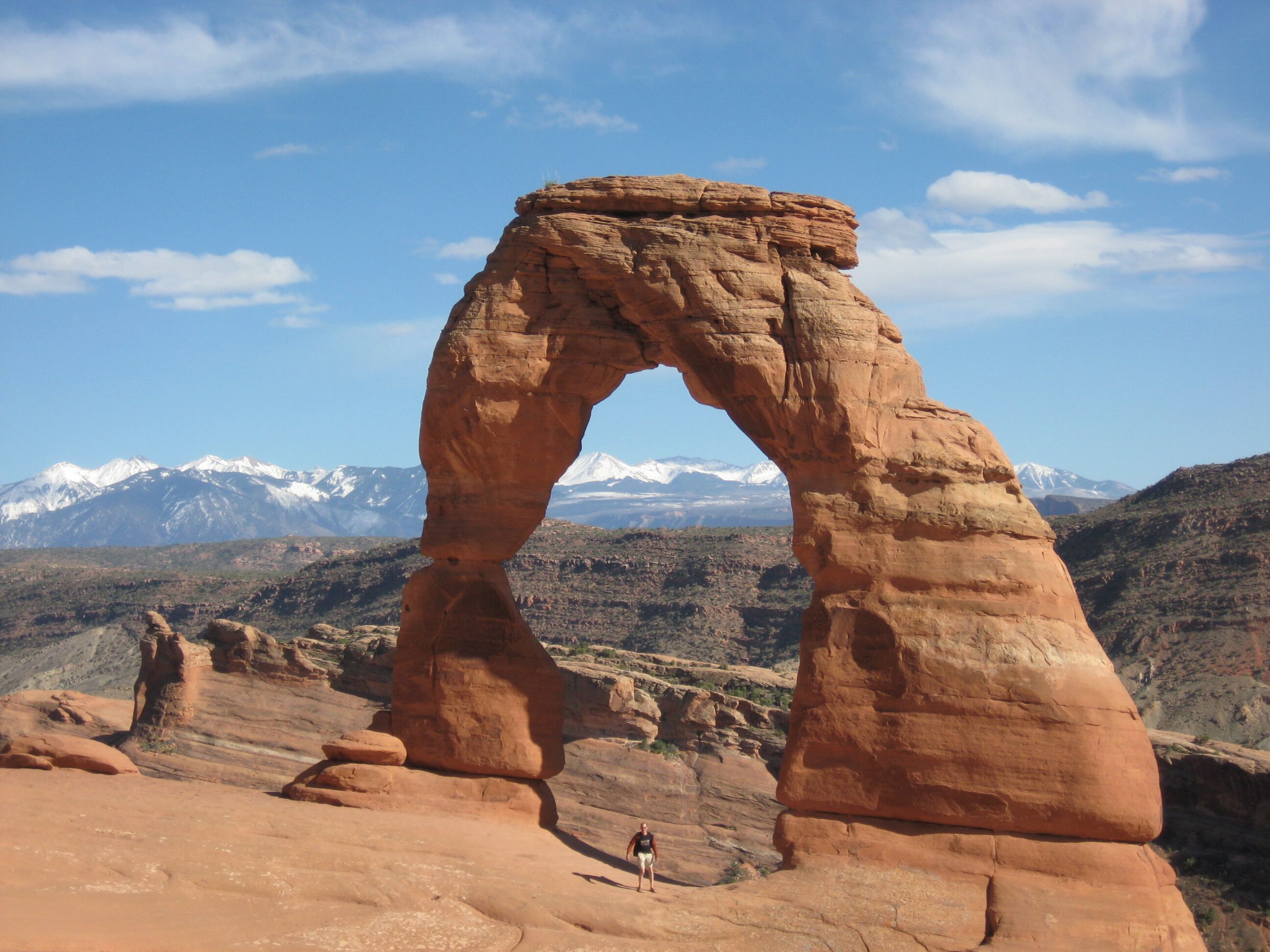
Photo credit: Y
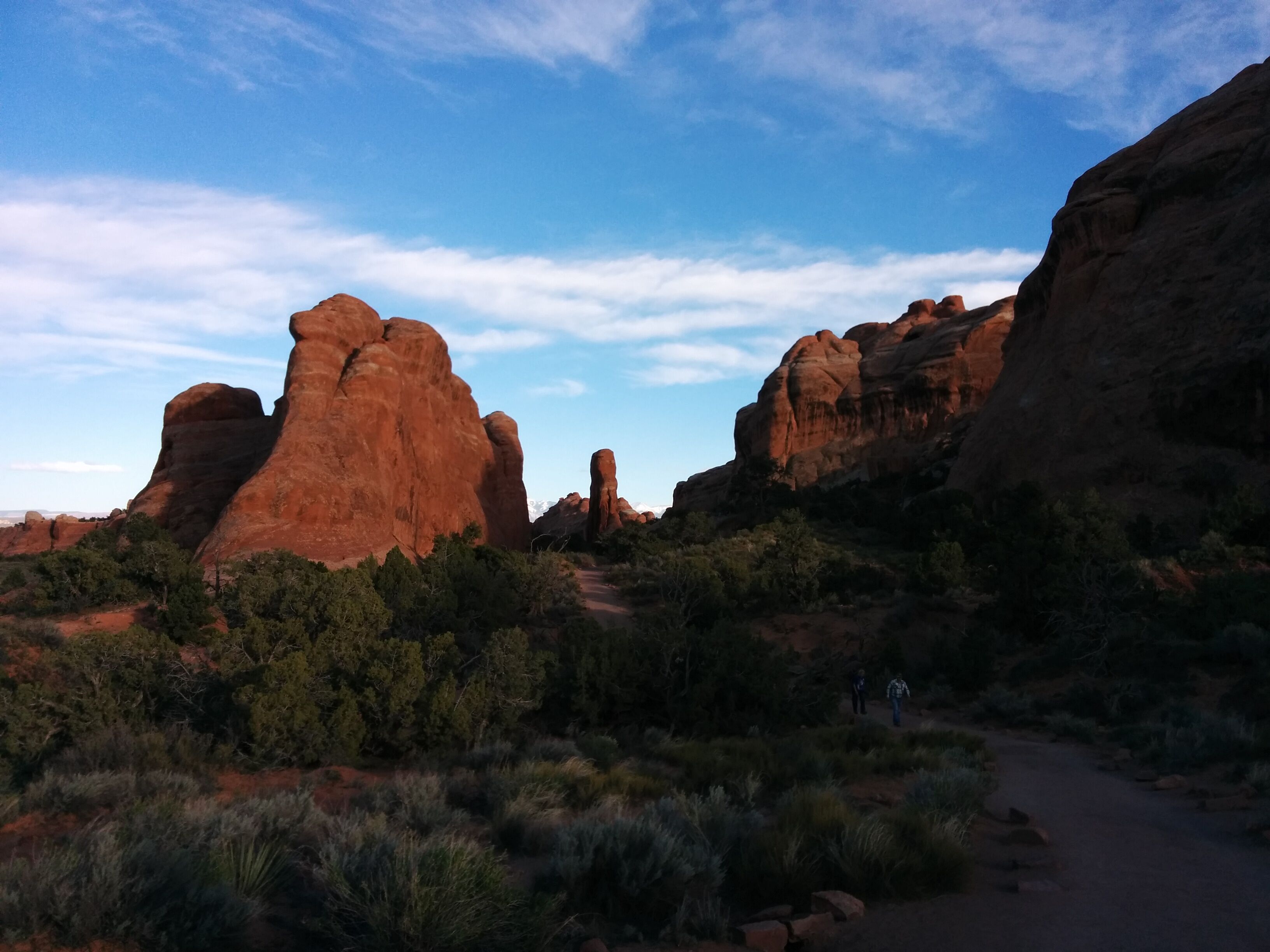
Photo credit: Y
Drive to Green River. Once again in noisy room 1 at Robber's Roost.
Dinner at Ray's Tavern. Place is packed w/ rednecks. Y gets giant steak, D gets giant pork chop. Y regrets not getting fries. Huge apple pies are sliced up. Straight to bed.
Sunday 24 April
Very brief delay, then much longer delay for breakfast at Tamarisk. Y denounces "invisible coffee" - possible punishment of gentiles by coffee-fearing natives.
Scenic 3 hr drive to SLC. Stop at MacD's for soft-serve cones and terrible coffee. Locate N. Temple Inn, where Y is staying before morning flight tomorrow.
Summary
Scenery: unrelenting and overwhelming; hard to not become jaded and desensitized. Everything red, pink, orange, w/ occasional white, blue-green patches. Erosional features like sculptures, often suggesting human figures. Highly varied: drive 10 miles, scenery completely different.National Parks: smaller-scale and less crowded than I expected.
Utah: in spite of some modernization, getting a decent coffee and a beer > 3.5% alcohol can be challenging.